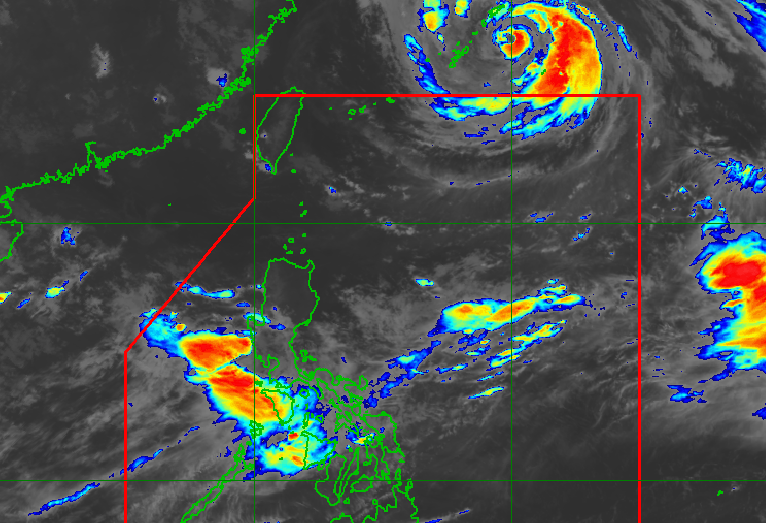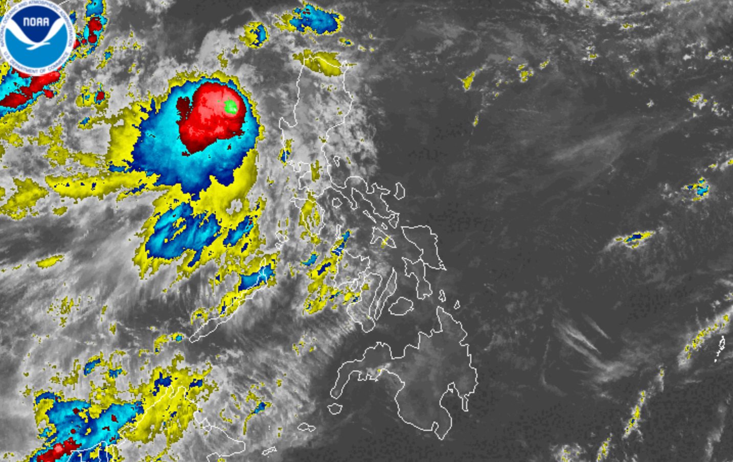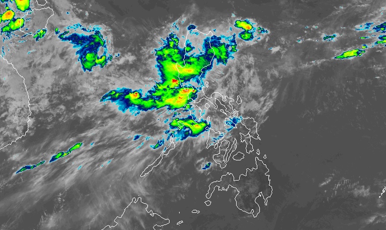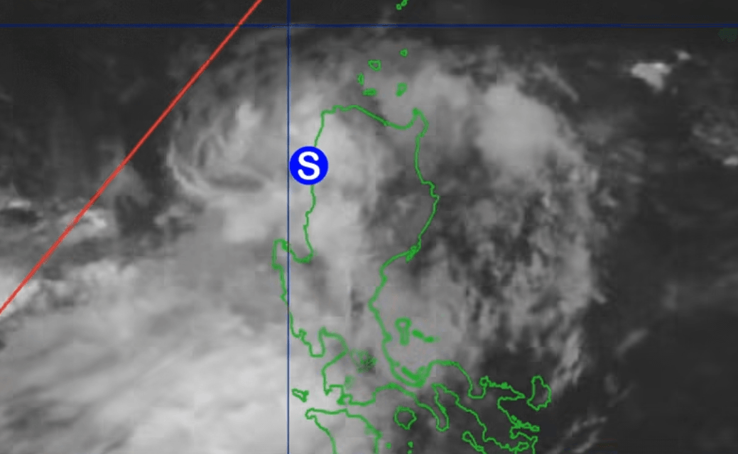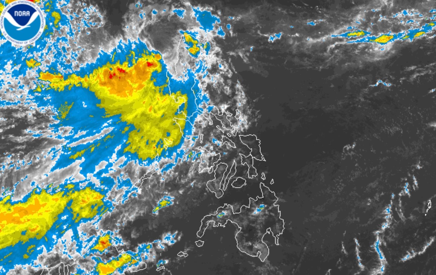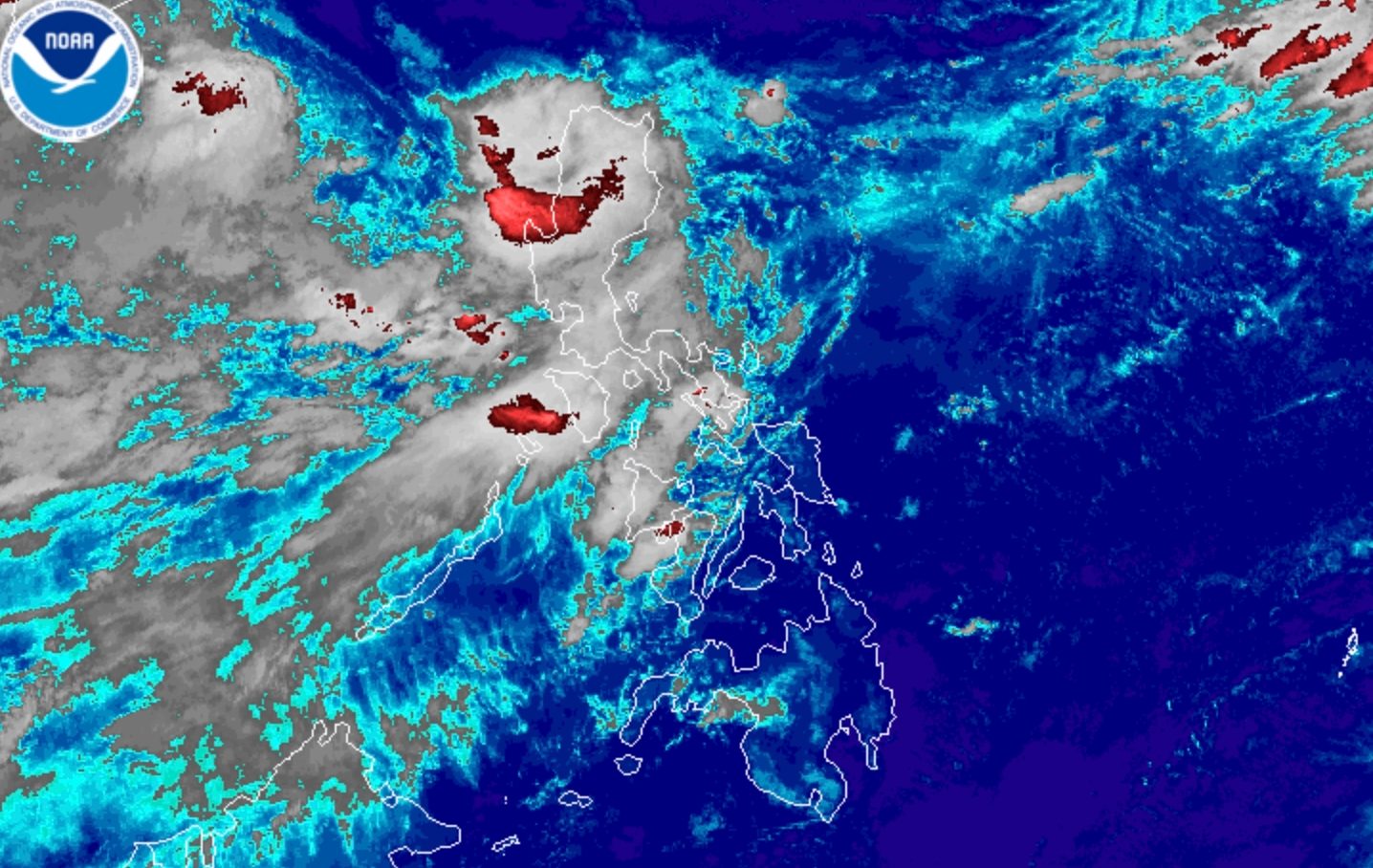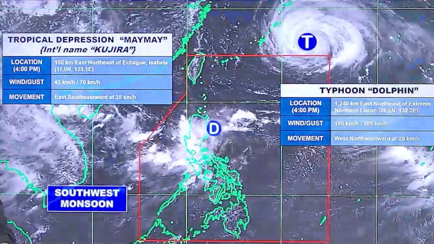
TROPICAL CYCLONES. Satellite image of Tropical Depression Maymay (Kujira) inside the Philippine Area of Responsibility, and Typhoon Dolphin outside PAR, as of August 6, 2026, 4 pm.
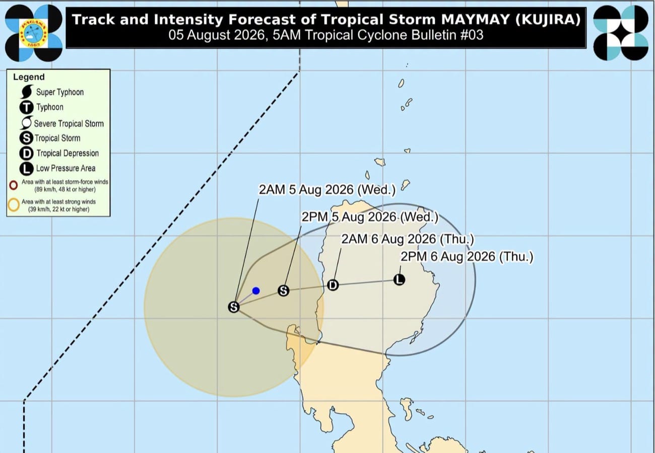
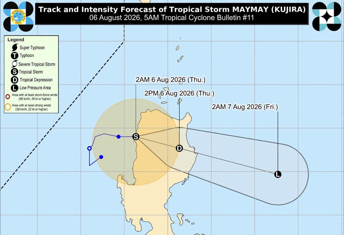
PAGASA expects Tropical Depression Maymay (Kujira) to weaken into a remnant low as early as Thursday evening, August 6, but the southwest monsoon will trigger more rain
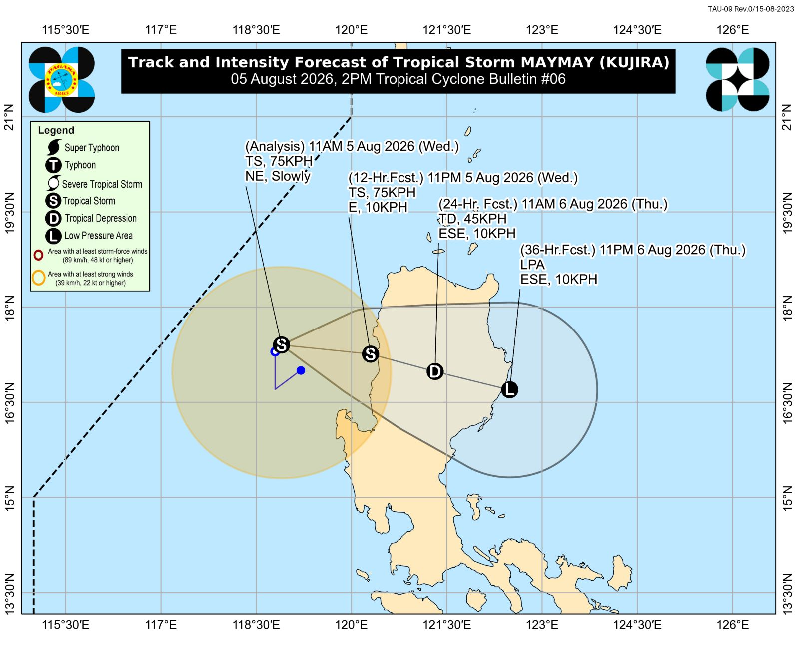
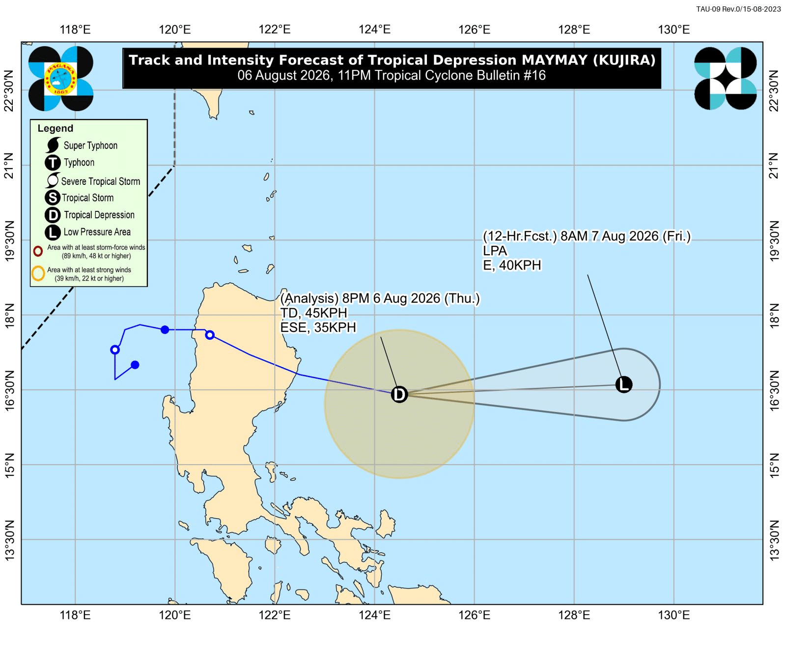
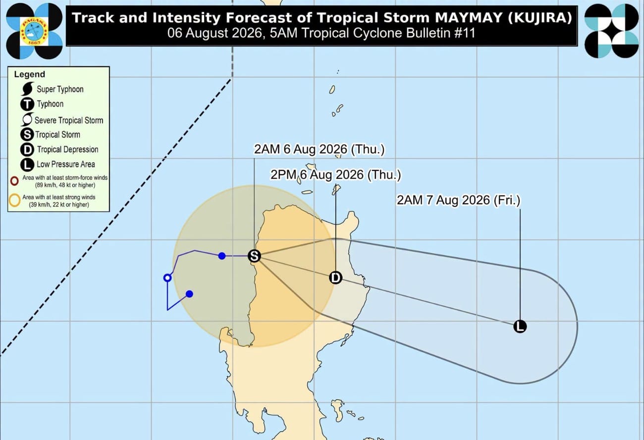
MANILA, Philippines – Tropical Depression Maymay (Kujira) finished crossing Northern Luzon and was already over the Philippine Sea on Thursday afternoon, August 6.
As of 4 pm on Thursday, Maymay was located 150 kilometers east northeast of Echague, Isabela, moving east southeast at a much faster 35 kilometers per hour (km/h).
The tropical depression had further weakened early Thursday afternoon, with its maximum sustained winds down to 45 km/h. Its gustiness is currently up to 70 km/h.