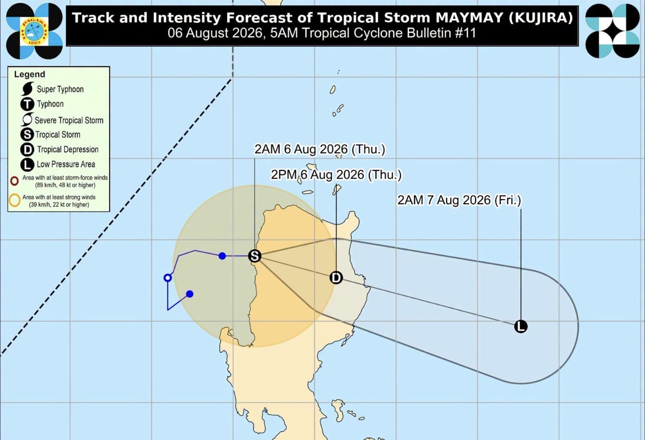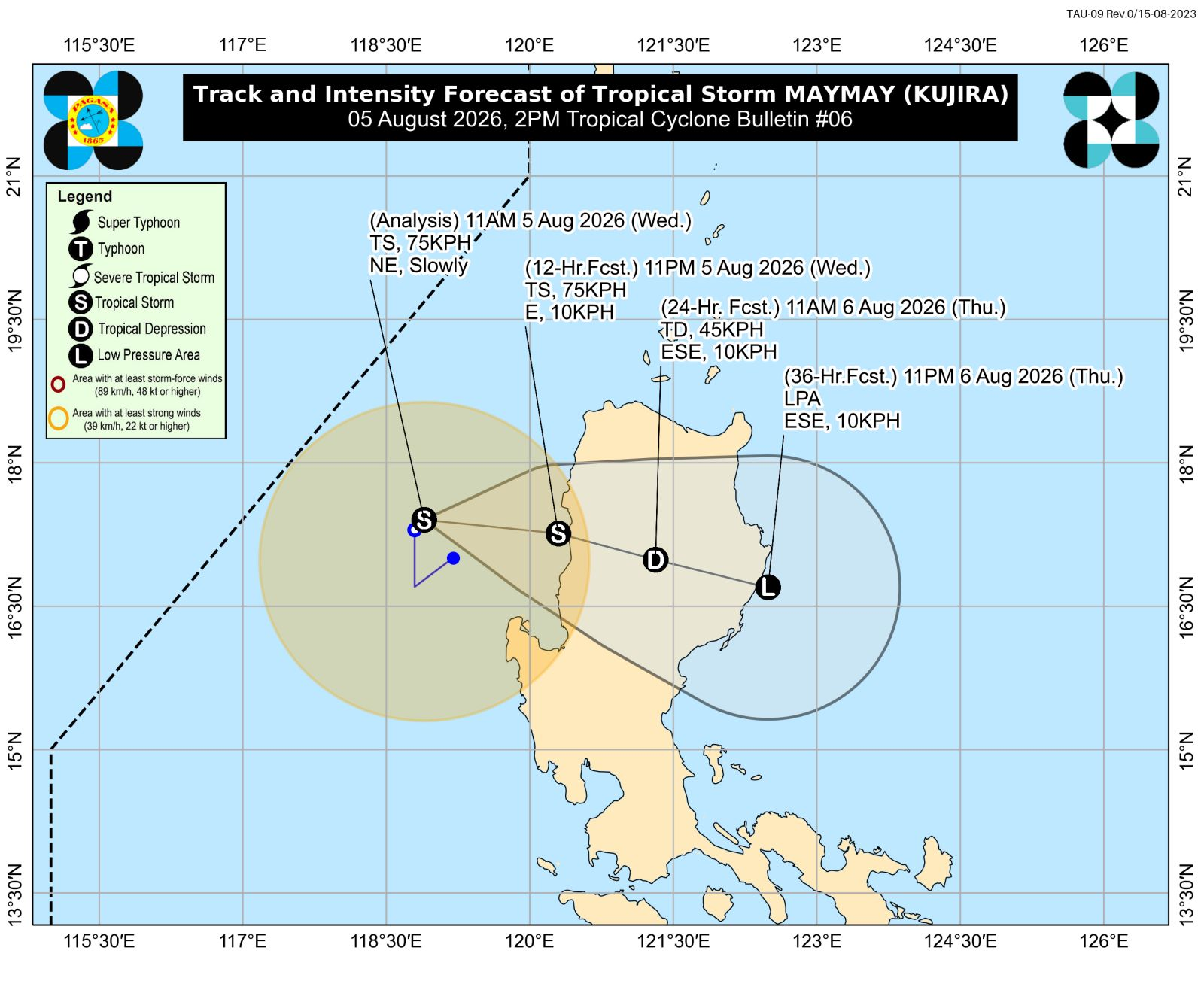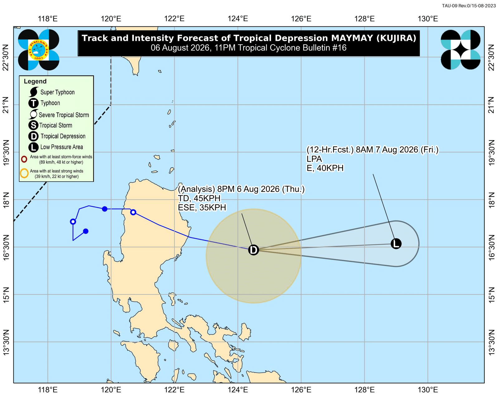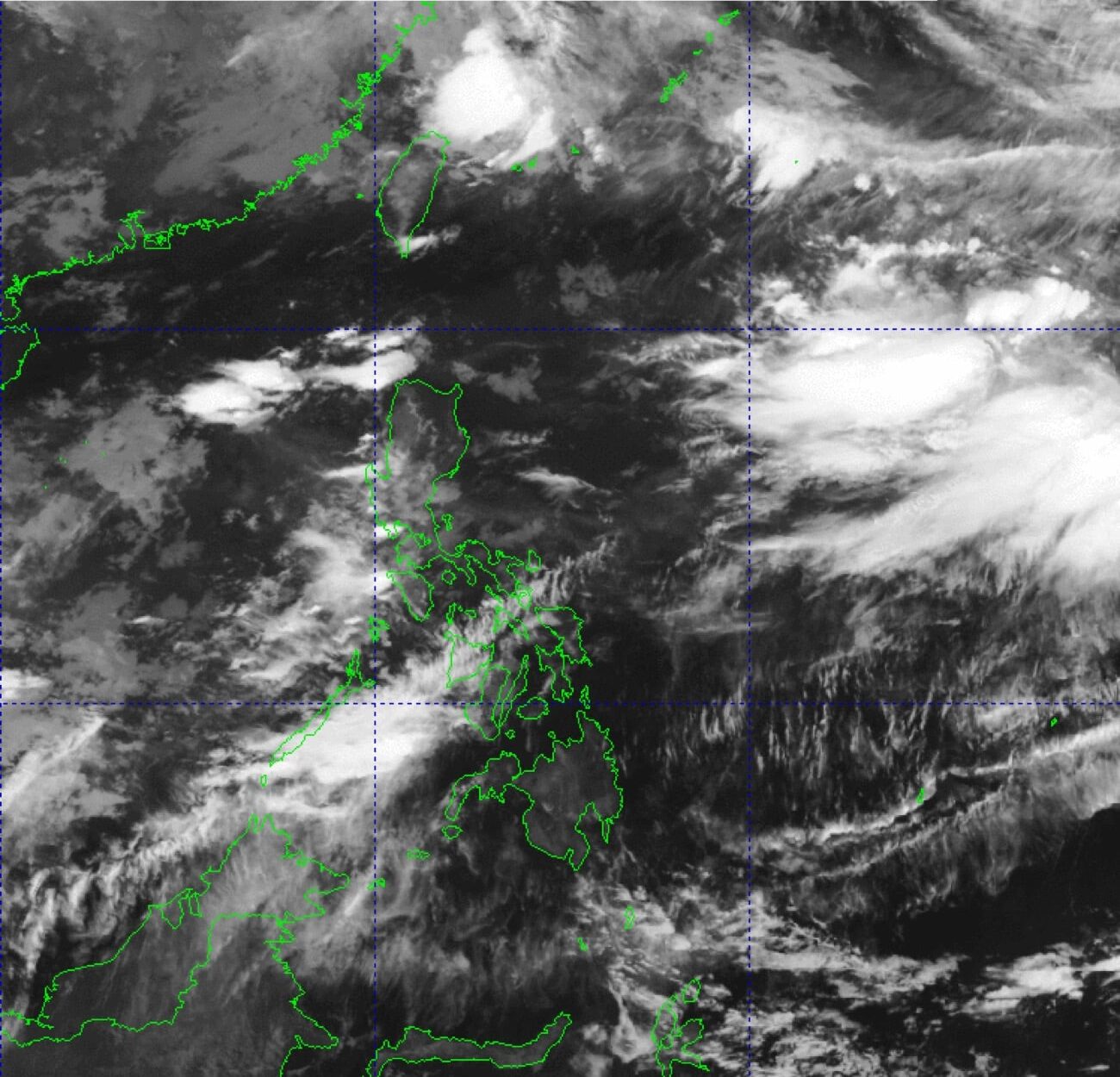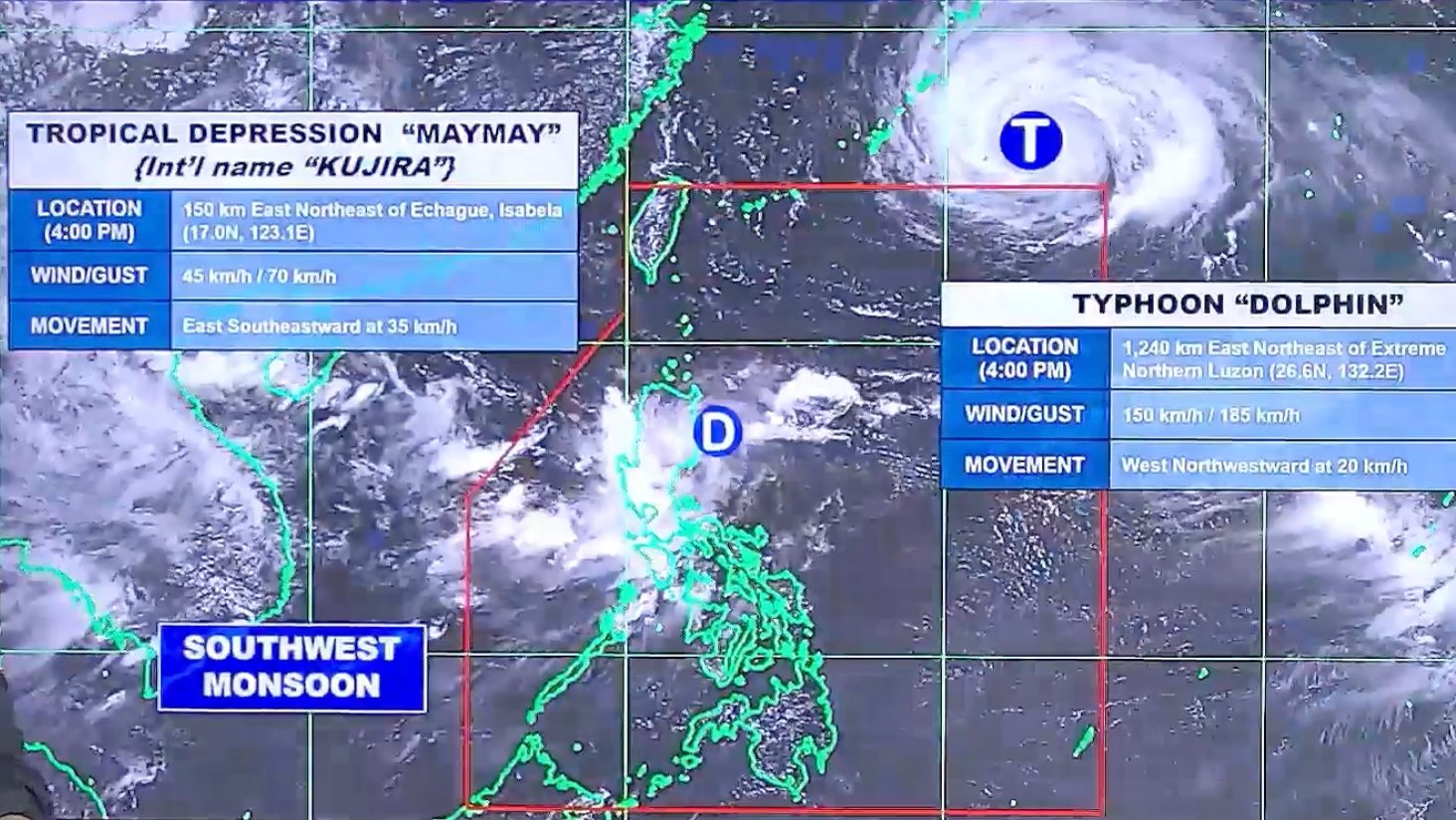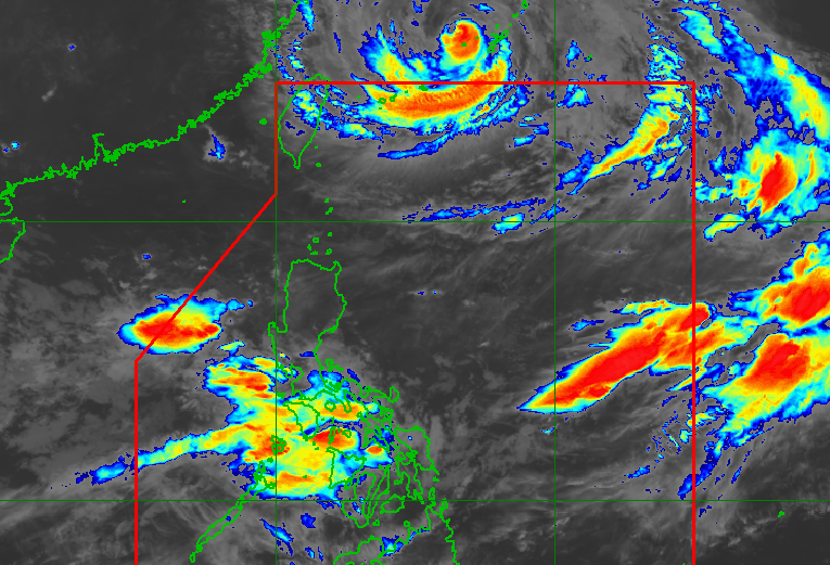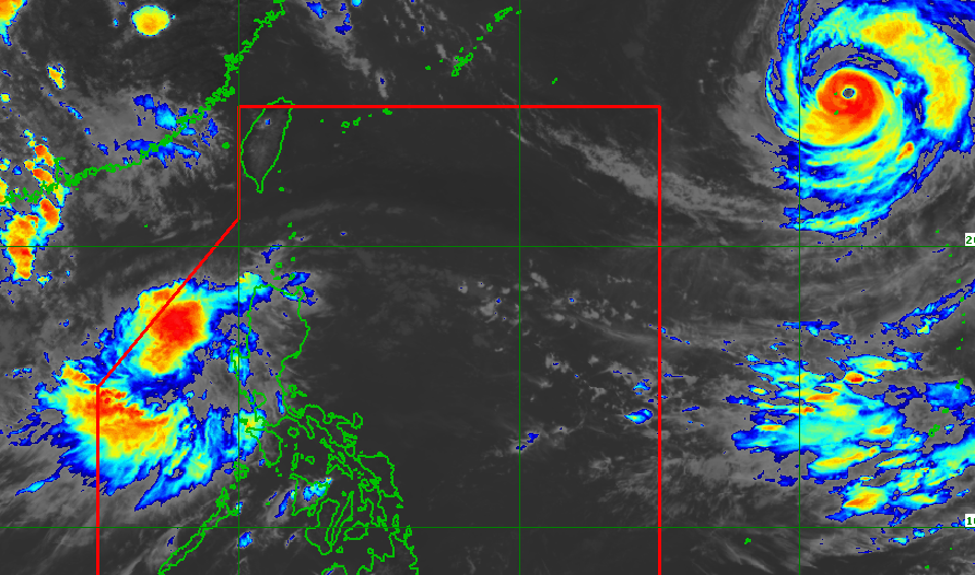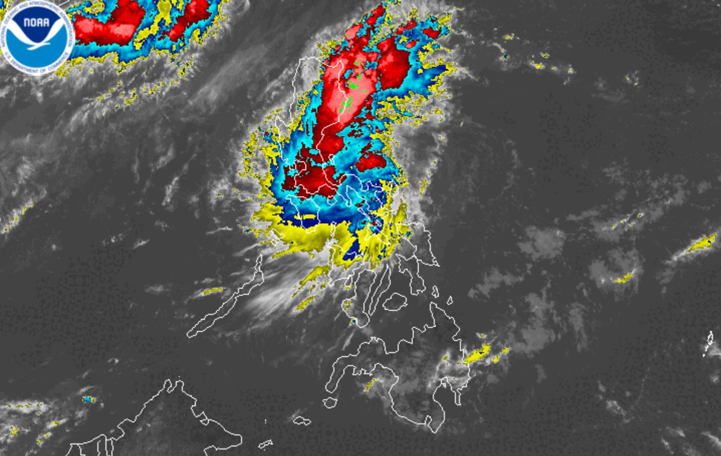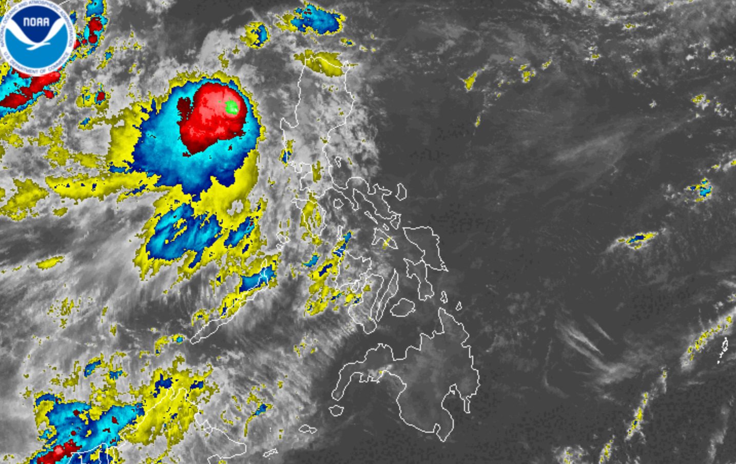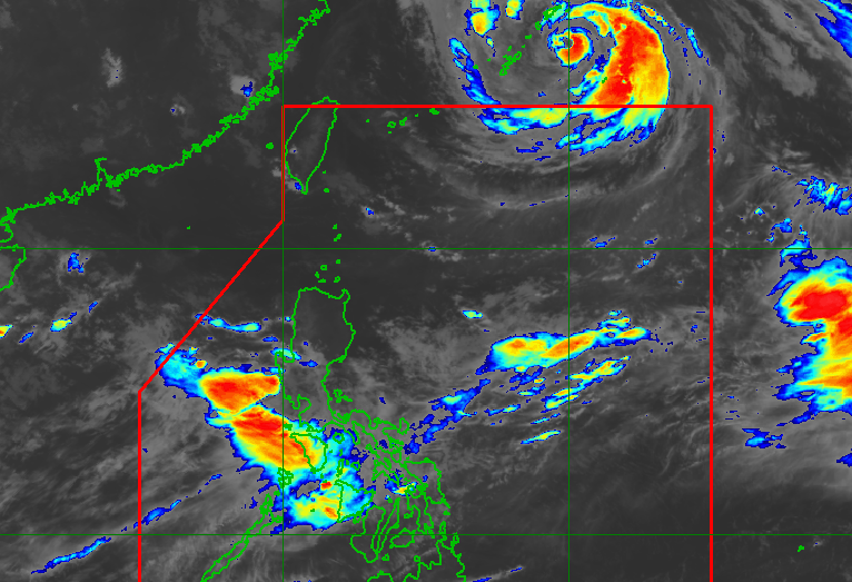
WEATHER SYSTEMS. Satellite image of the remnant low inside the Philippine Area of Responsibility, and Typhoon Dolphin outside PAR, as of August 7, 2026, 4 am.
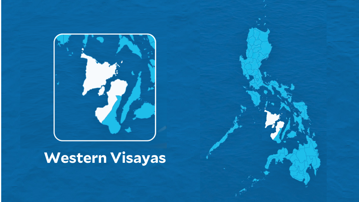
PAGASA says the low pressure area that used to be Maymay (Kujira) will be fully absorbed into the circulation of Typhoon Dolphin on Friday, August 7. Meanwhile, the enhanced southwest monsoon is affecting Luzon and Western Visayas.
MANILA, Philippines – Tropical Depression Maymay (Kujira) weakened into a low pressure area (LPA) while over the Philippine Sea at 2 am on Friday, August 7.
The LPA that used to be Maymay is moving east at a very fast 40 kilometers per hour (km/h), said the Philippine Atmospheric, Geophysical, and Astronomical Services Administration (PAGASA) in a bulletin issued at 5 am.
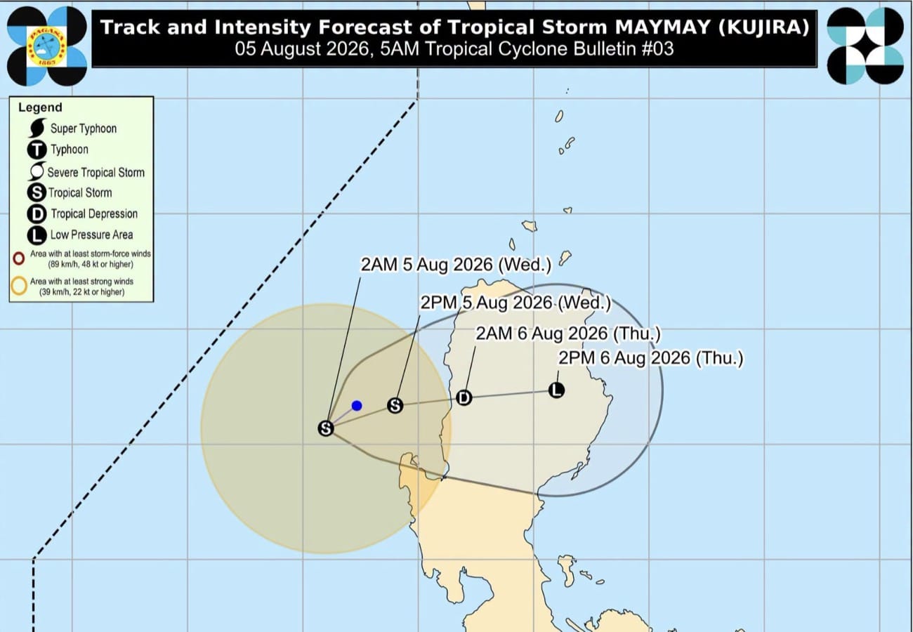
Maymay was the Philippines’ 13th tropical cyclone for 2026, and the second for August, coming shortly after Tropical Depression Luis. It developed off La Union last Tuesday, August 4.