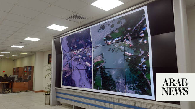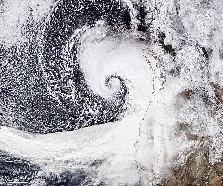
Optical satellites are useless during floods because, well, it’s cloudy. Sentinel-1 SAR sees through rain and night, but its data is noisy, complex, and full of "permanent water" that isn't actually flooding.
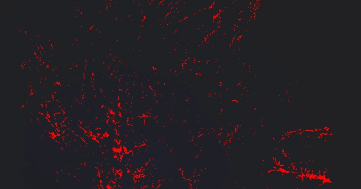
I built an end-to-end pipeline to turn raw SNAP GeoTIFFs into clean, actionable flood maps. Here’s how I solved the three biggest headaches in SAR processing.
1. The "Padding" Trap
SNAP exports often include zero-value borders. If you don’t crop these, your histogram gets skewed by millions of 0s, breaking automatic thresholding.
The Fix: Treat 0.0 as NaN, convert to dB, and crop strictly to the valid data footprint before any analysis.