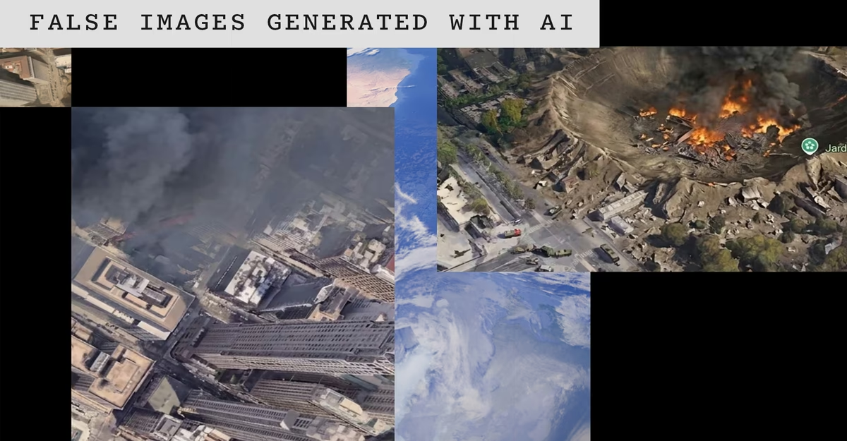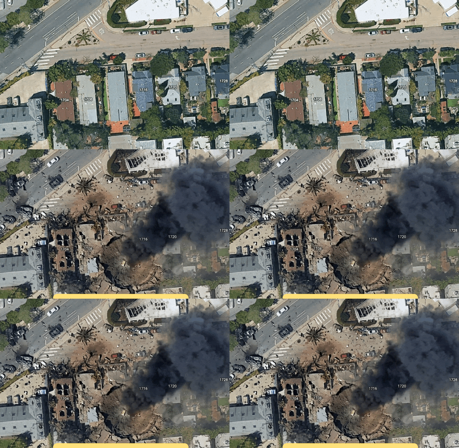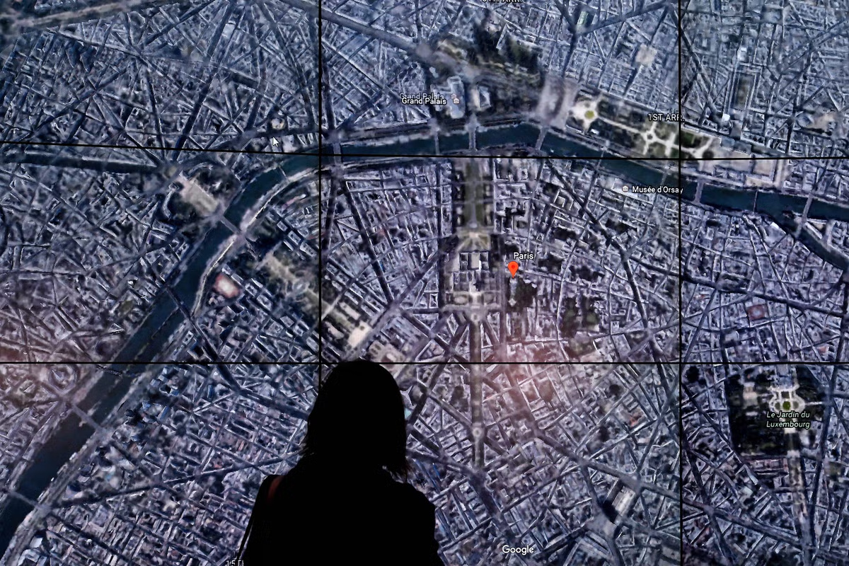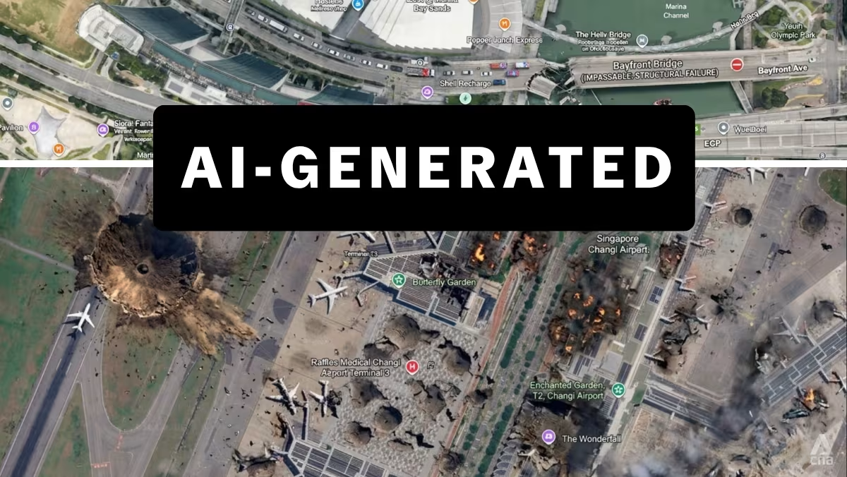
High-resolution satellite imagery has never been easier to buy, or to fake. For a brief window last week, the world’s most popular digital globe, Google Earth, let users manipulate satellite images with AI to create fakes grounded in real terrain. Backlash prompted the company to roll back the feature after less than a day. But its rollout demonstrated how quickly contemporary models can churn out misinformation when the right guardrails are not in place.
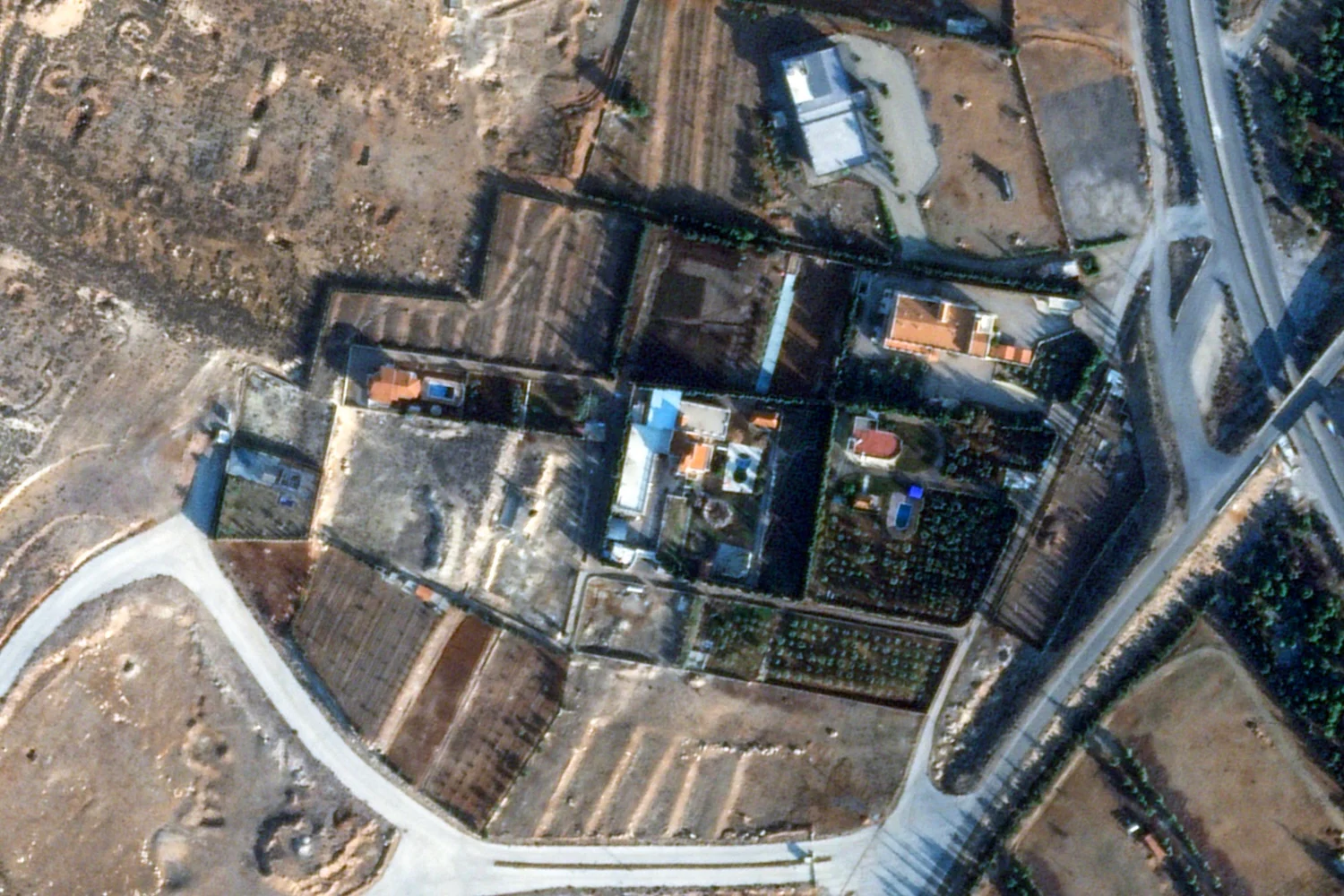
Authentic imagery, meanwhile, is more available than ever. Customers’ options are rapidly expanding amid an ever-growing field of international competitors that offer similar views from low Earth orbit. But the same openness that serves as a resource for researchers and journalists also allows for more sinister uses, like Iran using commercial imagery to track U.S. troops, which can prompt governments to try to crack down on what’s available. In a world crowded with providers and rife with fakes, tomorrow’s commercial satellite imagery market will be defined more by trust than access.
High-resolution satellite imagery has never been easier to buy, or to fake. For a brief window last week, the world’s most popular digital globe, Google Earth, let users manipulate satellite images with AI to create fakes grounded in real terrain. Backlash prompted the company to roll back the feature after less than a day. But its rollout demonstrated how quickly contemporary models can churn out misinformation when the right guardrails are not in place.