Commentary
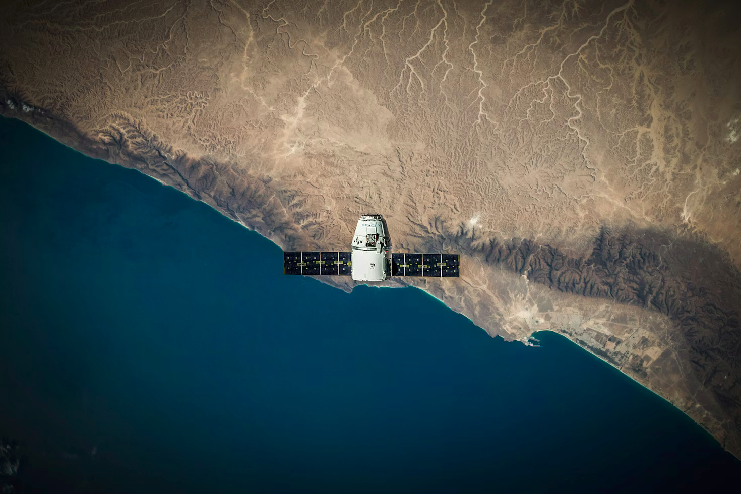
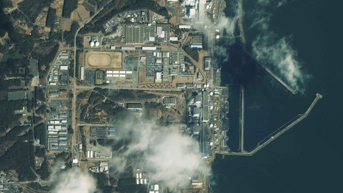
Satellite imagery is now a key part of the visual vocabulary of our 24-hour news cycle, says this UCL geography professor.
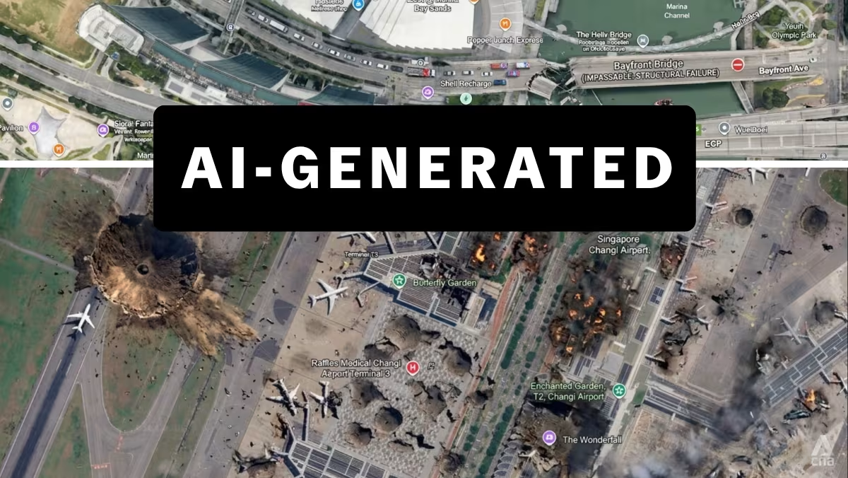
Google Earth's new AI-generation feature stirred controversy on social media before it was ultimately pulled, with experts fearing it would have caused misinformation to spread more easily.
08 Aug 2026 06:00AM
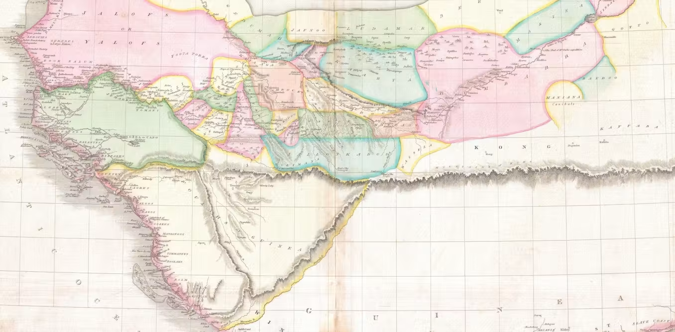
LONDON: Throughout the 18th and 19th centuries, Europe’s cartographers traded on their reputation for accuracy and detail at a time of huge societal change. But as demand grew for increasingly detailed maps of the world to support industrialisation at home and colonisation overseas, they didn’t always get it right.For over a century, the Mountains of Kong festooned maps of Africa after the Scottish surgeon and explorer Mungo Park returned from an expedition in the 1790s and described them to his cartographer, James Rennell, as a possible source for the Niger river. Rennell, who is buried in Westminster Abbey, dutifully produced two maps featuring this supposed mountain chain, extending it well beyond Park’s journey into areas he could never have seen. His maps were widely copied, and doubts only grew about the mountain range’s existence towards the end of the 19th century.In 1887-88, a French military officer, Louis-Gustave Binger, undertook an expedition to the area and proved it didn’t exist. Yet, in my work as a professor of cartography, I was amazed to stumble upon a reference to “Kong Mountains, French W Africa” in the index of the 1936 edition of The Oxford Advanced Atlas – almost 50 years after Binger’s expedition.This underlines the lasting impact that maps have on how we see and understand the world. Mapmakers even enabled important early case law for the copyright protections that are being tested by AI today.