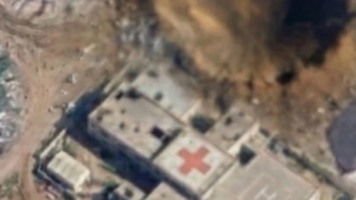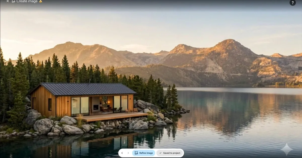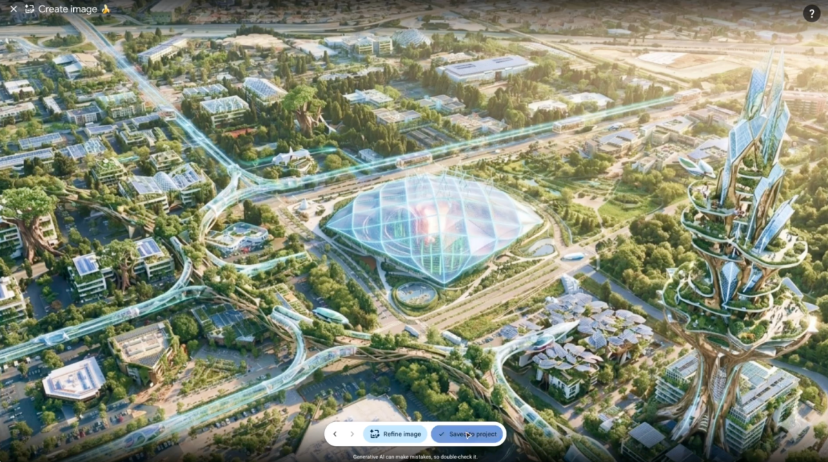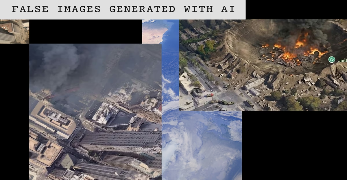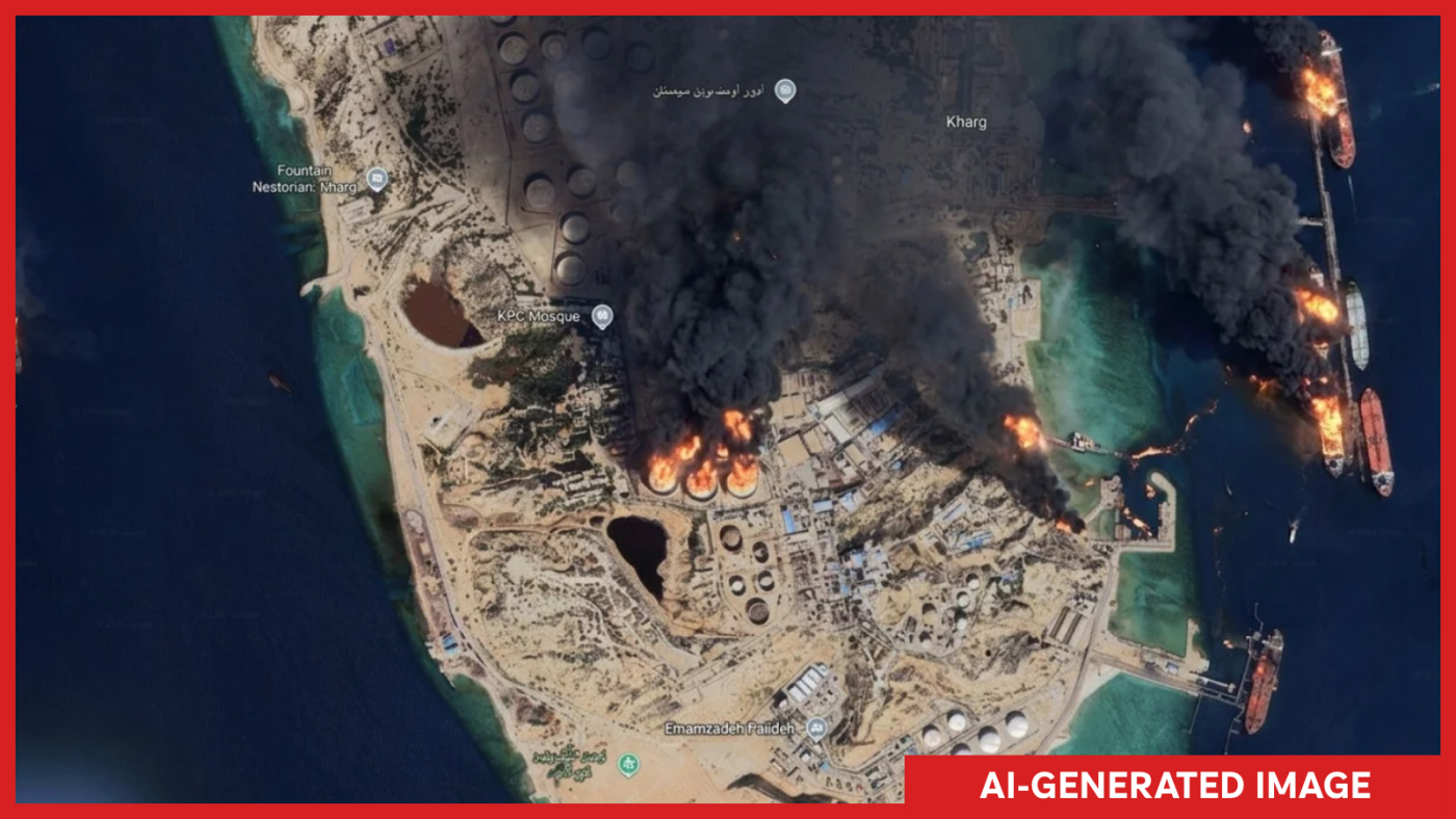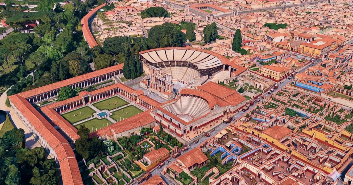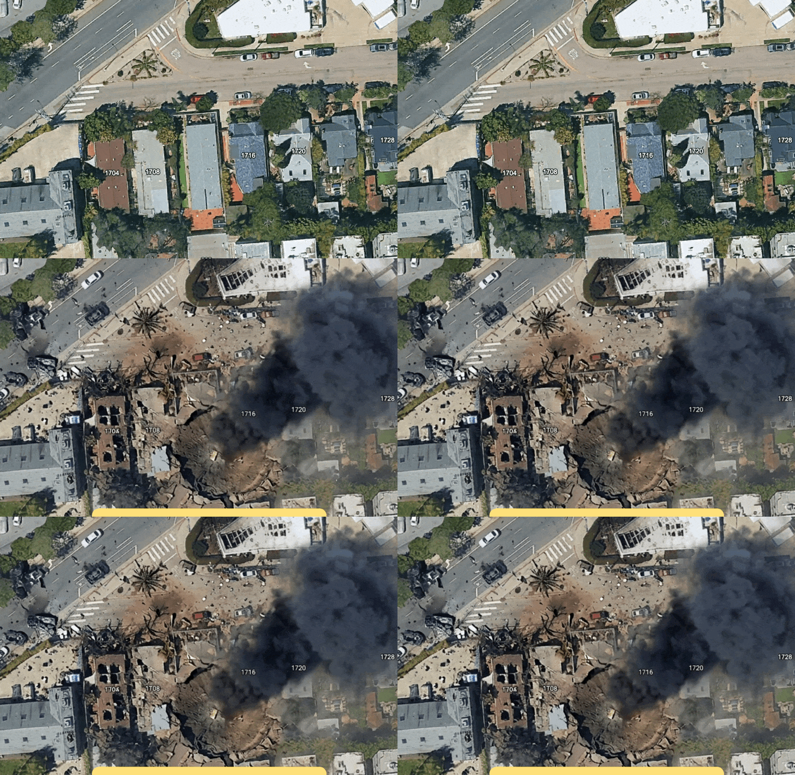
On Thursday, Google introduced a new AI feature into Google Earth which lets anyone fabricate all sorts of misleading or straight up inaccurate satellite imagery, from making it look like a specific place has suffered a drone strike to manifesting a nuclear plant in Iran.Usually, Google Earth is an exceptionally useful tool for open source intelligence (OSINT) analysts to digitally monitor areas of interest and see how they change over time, say, during a conflict or disaster. Now, Google Earth can easily be used as a tool for disinformation. In 404 Media’s tests, we were able to add skyscrapers to a rural area, added a “homeless encampment” to a part of Los Angeles where homelessness has become a major political issue, and were able to add a “bomb blast and crater” to an area of Los Angeles.
/0:35
“Tonight I typed just one sentence into Google Earth and put refugees near the Mexican border. Then I planted a nuclear plant in Iran. Then I put a fatal crash on a street in Amsterdam. Google’s own satellite imagery underneath all three. What on earth is Google doing?” Hank Van Ess, an OSINT researcher, wrote in a blog post on Thursday. The button now available in the web version of Google Earth lets a user type in a prompt while hovering over their desired location to create something new there. It is powered by Google’s Nano Banana model, according to a Google statement. “If you type the address of your workplace and then prompt it to ‘make it look like a drone attack happened here,’ it will create a damning image that looks very close to what we’ve seen in Ukraine, Russia, the Middle East, and other war-torn conflict zones,” Ben Heubl, another OSINT professional, wrote in a LinkedIn post. Obviously, this isn’t great for ensuring that screenshots from Google Earth are showing what anywhere on the planet actually looks like in reality. “It’s harrowing and horrific, and it will make verification work much more difficult, Heubl added.