TL;DRGoogle rolled back its new AI image tool in Google Earth after researchers showed it could fabricate satellite imagery of war zones on real coordinates
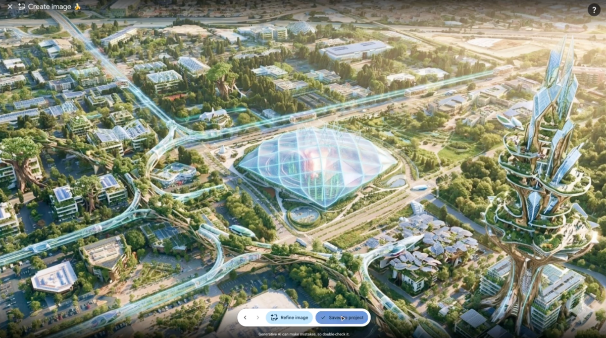
Google on Friday pulled a new AI image generation feature from Google Earth, one day after launching it, because users were creating fabricated satellite imagery that appeared to violate company policies. The tool, powered by the company’s Nano Banana 2 model, let anyone zoom into a real location, type a text prompt, and generate a photorealistic aerial scene layered onto genuine coordinates.
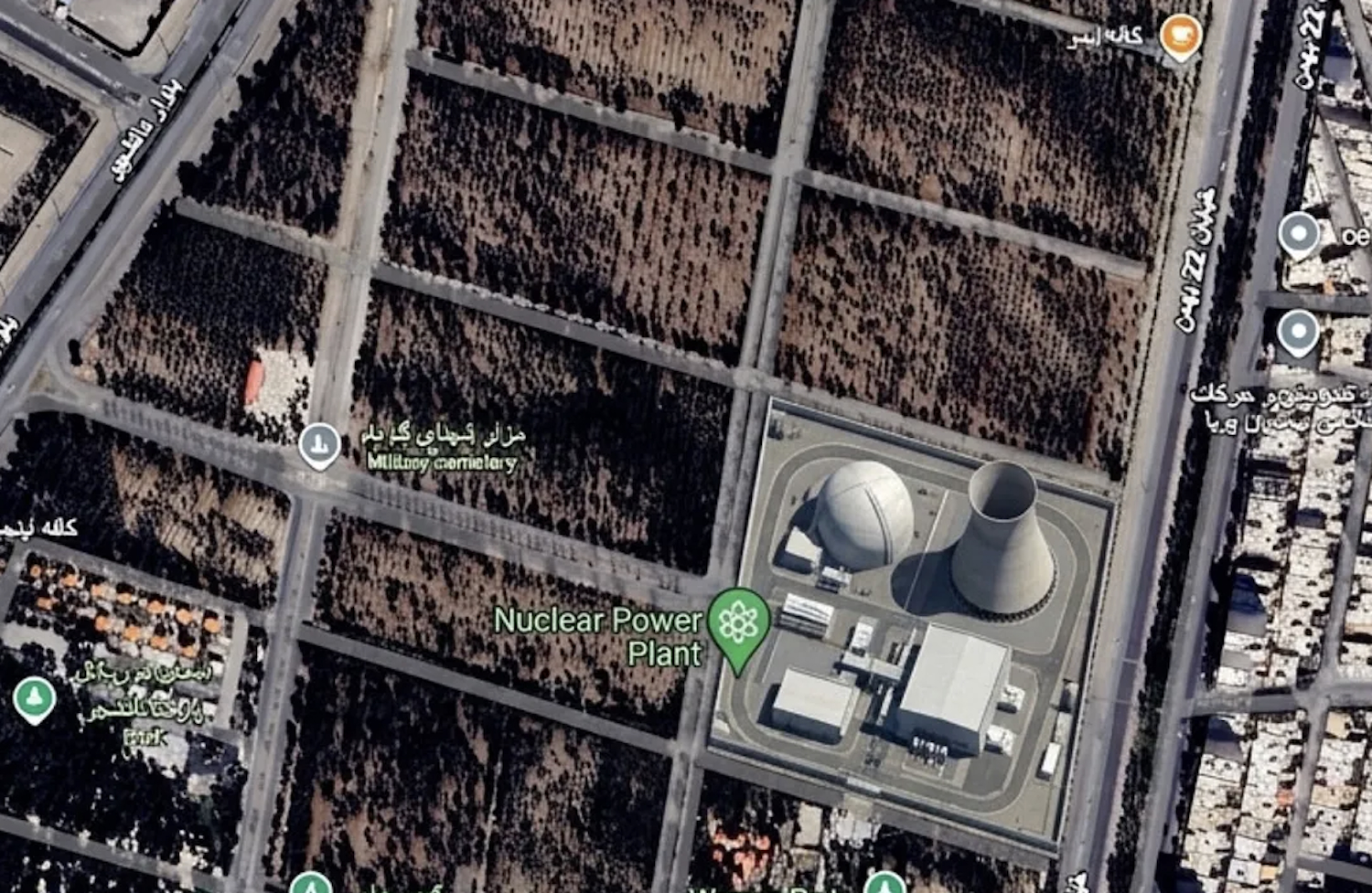
Dutch intelligence researcher Henk van Ess was among the first to demonstrate the problem. In a blog post titled “How to plant a nuclear plant in Iran,” he showed that single-sentence prompts could insert a nuclear facility into Iranian territory, place refugees on a road near the Mexican border, and add a hospital with a bomb crater in Gaza, each in seconds, all rendered on top of authentic satellite imagery.
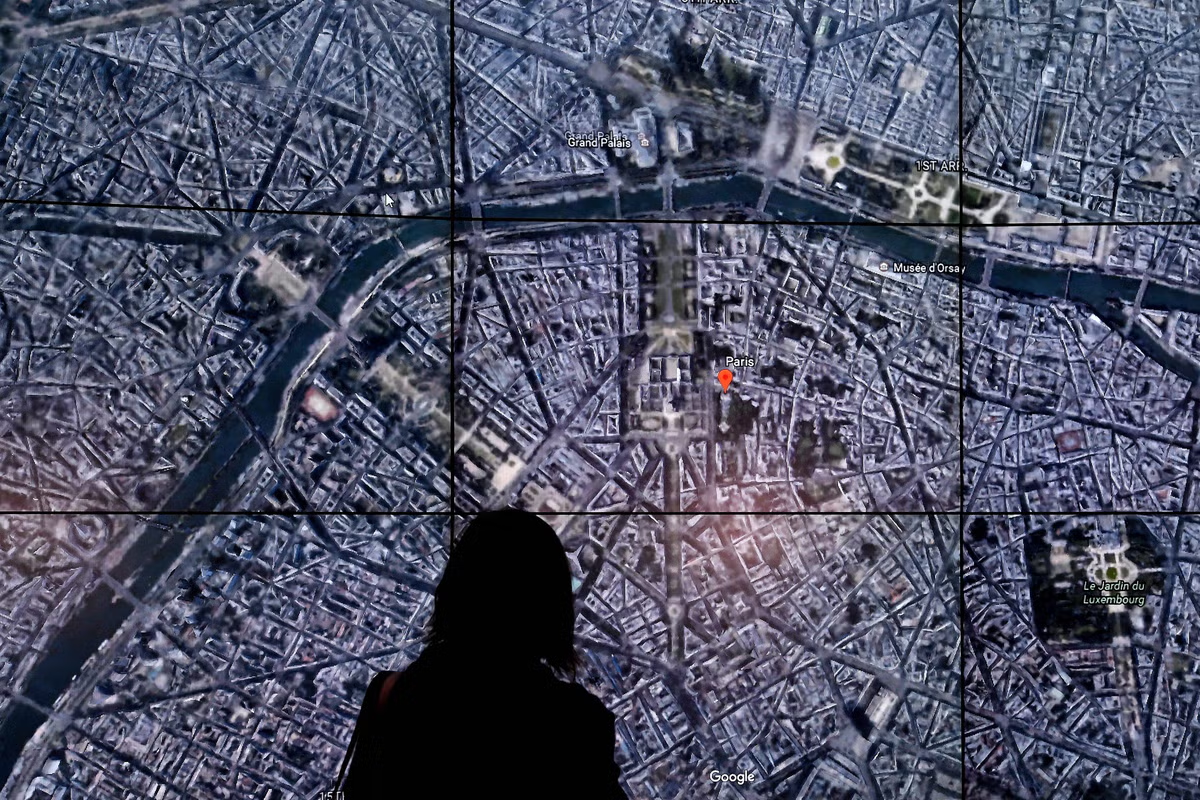
He was not alone. BBC Verify produced a toppled Eiffel Tower, a sinkhole swallowing the Great Pyramid of Giza, and Russian tanks in Kyiv. AFP generated explosions in Paris and an Islamic State training camp in Syria.
The news agency 404 Media added skyscrapers to rural land and inserted a homeless encampment into Los Angeles. In each case, the fabricated imagery was layered directly onto authentic coordinates, indistinguishable at a glance from the real satellite view underneath.