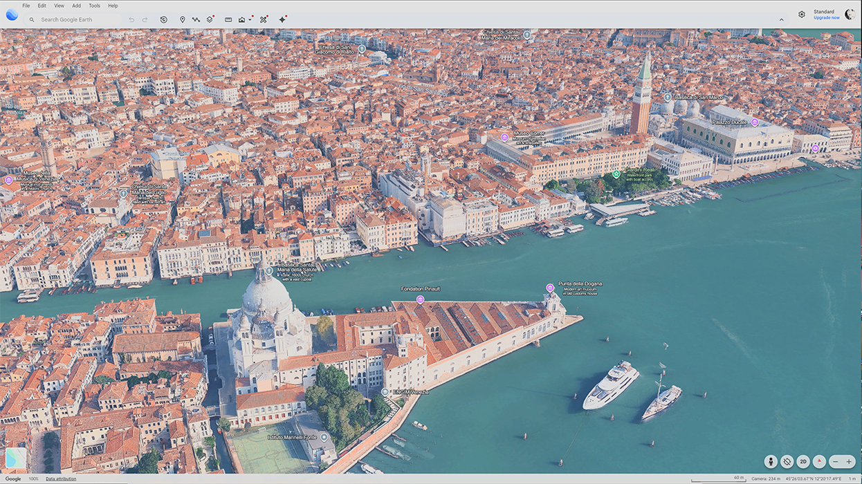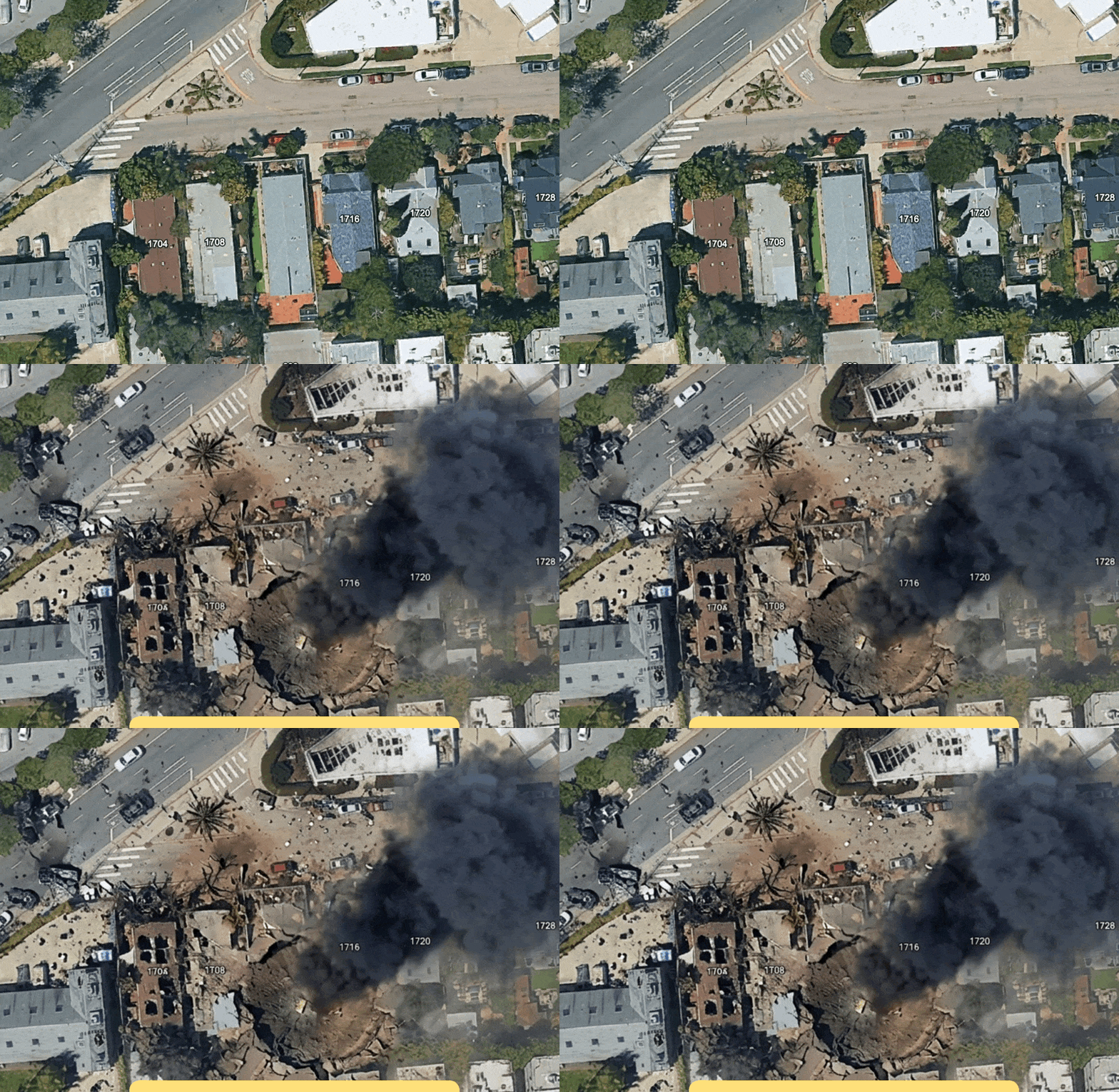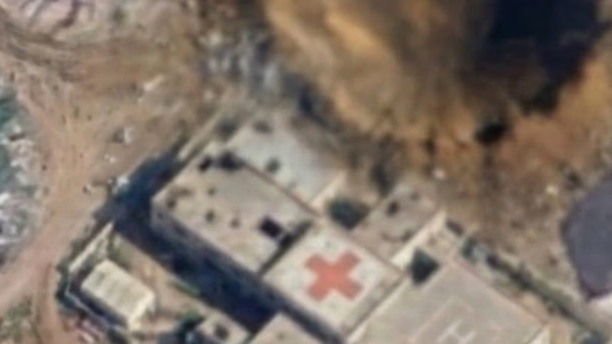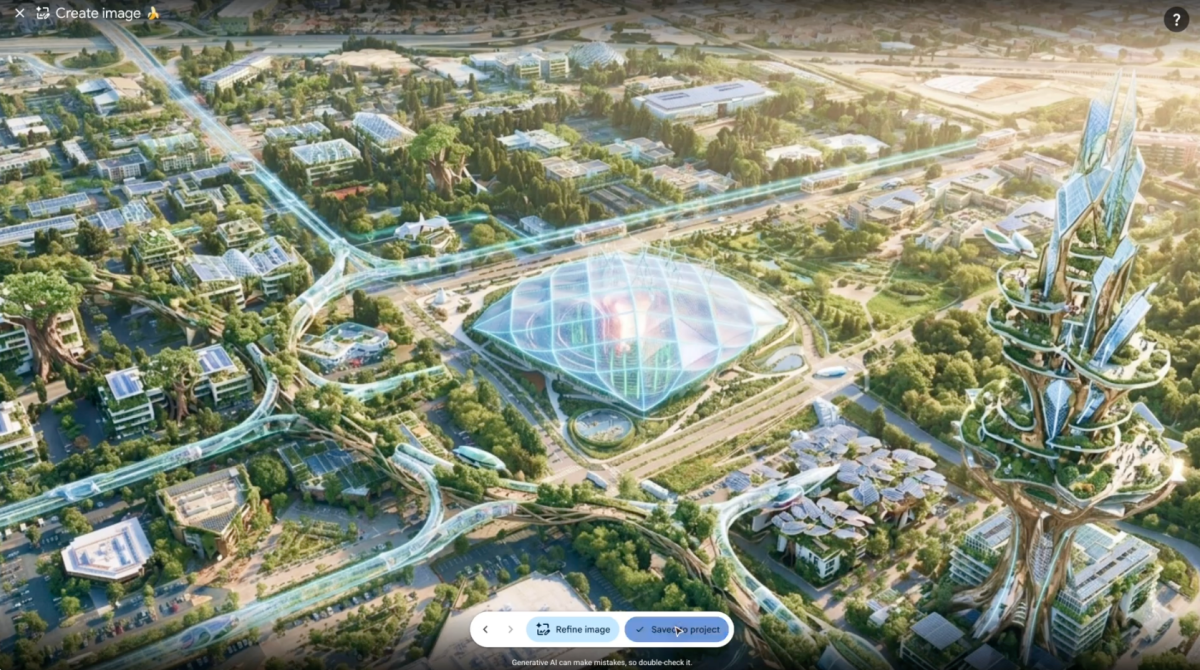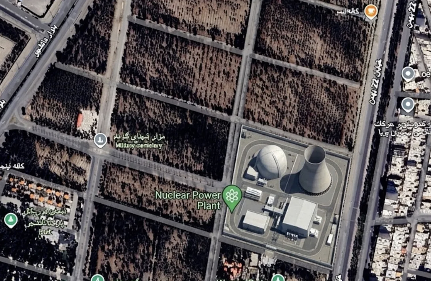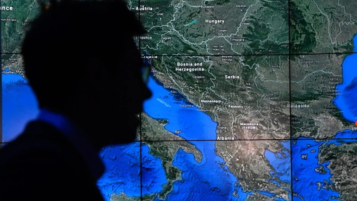
On Thursday, Google released a new AI feature that allowed anyone to create fake images in Google Earth. Naturally, people used the AI to put a fake nuclear plant in Iran and show a plane crashing into One World Trade Center in New York. After massive online backlash, the tech giant killed the feature on Friday. “We know that people uniquely trust Google Earth for a reliable view of the world. We’ve seen geospatial professionals using this feature for a range of useful purposes, however we’ve also seen people sharing screenshots of generated imagery that appear to violate our policies,” the company said in a statement posted online. “So we’re rolling back this feature in Google Earth while we work on implementing stronger guardrails,” the company continued. “It’s important to note that generated images didn’t appear in the main Google Earth experience for others to see and were watermarked as AI generated.”
The big question, of course, is why Google released this feature to begin with. People made AI slop to show things on Google Earth that didn’t happen, including the kinds of things that would quickly go viral if people thought they were real. Images of people in Mexico amassing on the U.S. border—which one person made—are the kind of thing that can be politically useful for supporters of President Donald Trump.