Back to Articles
Why satellite inference is challenging The right hardware for the right task One request, hundreds of workers, and thousands of processes Finding and fetching the right pixels Handling failure at scale Where we're headed 🌍 Learn more about OlmoEarth Platform: https://allenai.org/olmoearth
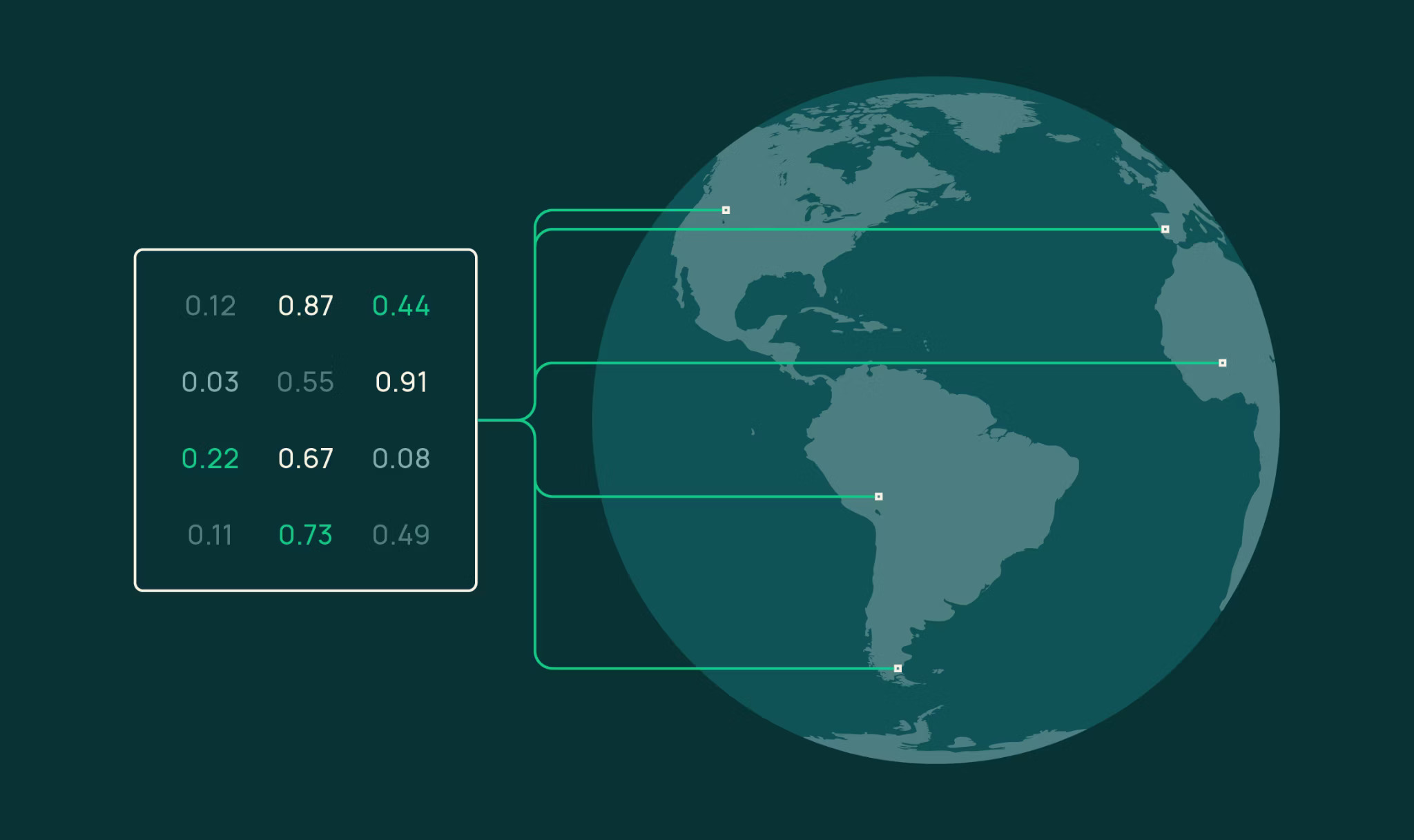
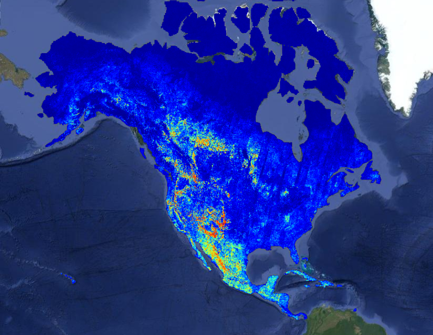
The OlmoEarth models are our family of Earth observation foundation models, pretrained on roughly 10 terabytes of multimodal satellite data. Governments, NGOs, and other mission-driven organizations are already adapting OlmoEarth for applications including deforestation monitoring, food security, and wildfire risk.
At Ai2, we know how to train and release powerful open models, and for organizations with strong engineering teams, an open model is all they need to run with. But most organizations in the environmental space – the ones best placed to apply these models – don't have the infrastructure or engineering teams that can manage the full lifecycle: labeling data, fine-tuning models, and running large-scale inference. We’ve spent more than a decade operating platforms like Skylight and EarthRanger, software that users around the world rely on every day, so it has to work every day. That experience taught us what delivering impact takes: running models cost-effectively at the right time and place, monitoring performance, turning raw outputs into actionable insights, and verifying those outputs drive the outcomes partners want.