Back to Articles
Computing embeddings in Studio What you can do with OlmoEarth embeddings Similarity search: Finding "more like this" Few-shot segmentation: Labeling the landscape Change detection: Spotting what shifted Unsupervised exploration: Seeing what the model sees From export to insight Going further: fine-tuning Limitations 📄 Tech Report: https://allenai.org/papers/olmoearth | 📊 Documentation: https://docs.olmoearth.allenai.org/embeddings | 💻 Learn more about OlmoEarth: https://allenai.org/olmoearth
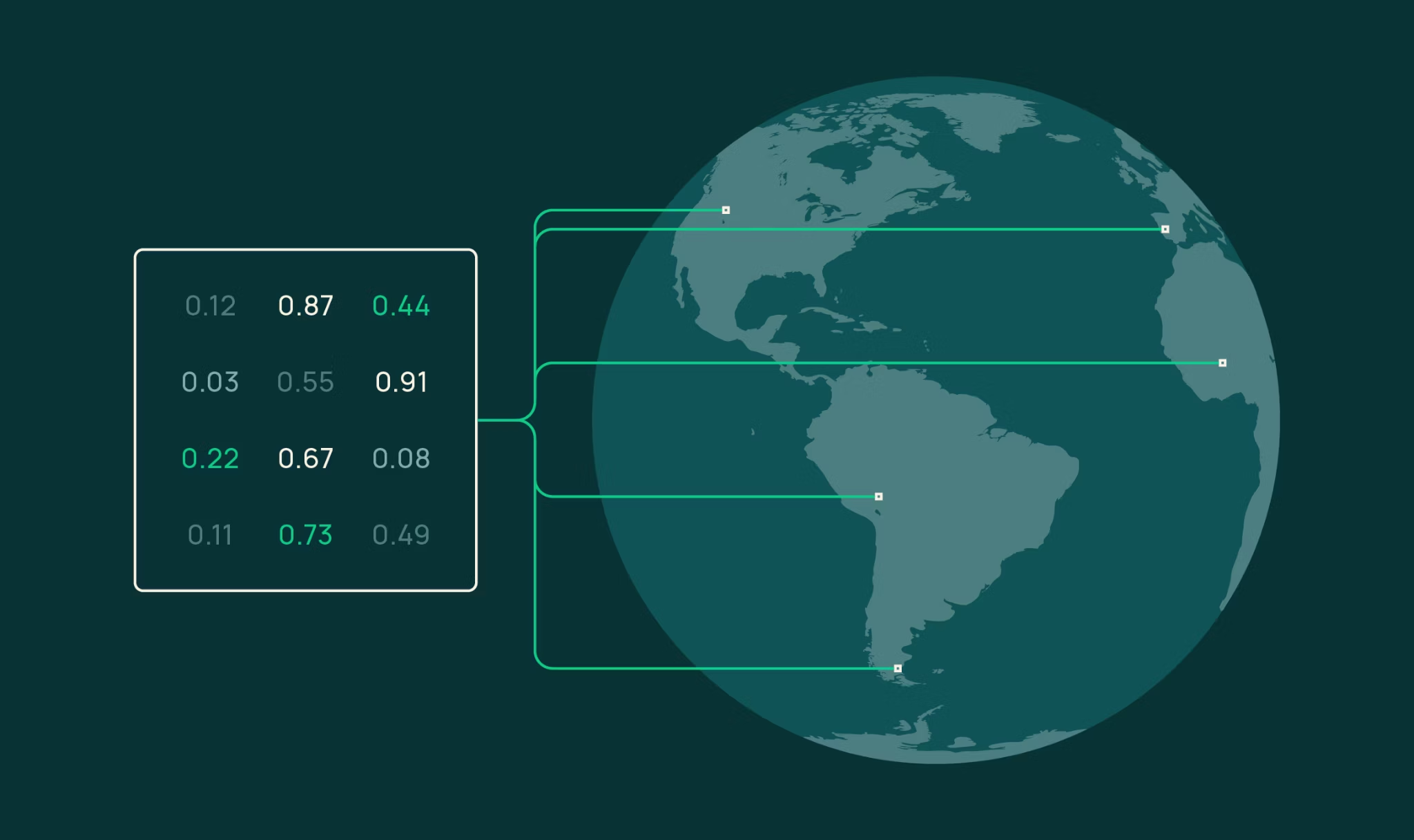
OlmoEarth Studio, our platform for building Earth observation models, now lets you compute and export embedding vectors—compact numerical representations of Earth-observation data produced by our open source OlmoEarth foundation models. The source code and model weights are publicly available alongside the research paper, so the community can inspect exactly how these embeddings are generated.
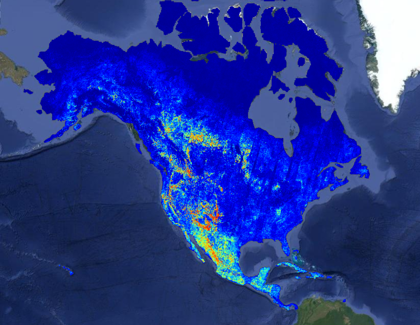
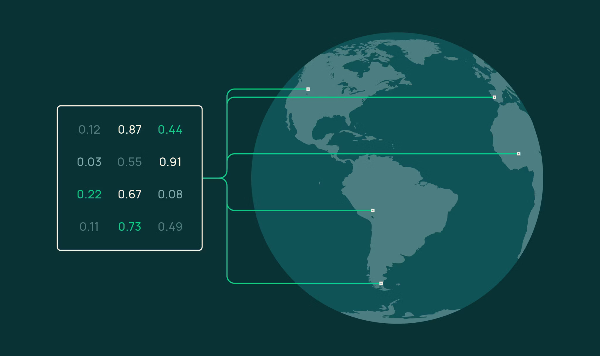
Embeddings are a fast, cost-effective entry point for leveraging OlmoEarth: they support a wide range of downstream tasks, from similarity search to segmentation to unsupervised exploration. Locations with similar surface characteristics end up with similar vectors; locations that differ land far apart. OlmoEarth embeddings have shown strong performance in our own benchmarking and in independent evaluations. The exported Cloud-Optimized GeoTIFFs (COGs) are lightweight and easy to share. Choose your area of interest, time range, encoder variant, resolution, and imagery sources via the Studio UI or API, and get back a COG you can use however you like. If your application requires higher performance, Studio also supports supervised fine-tuning (SFT).