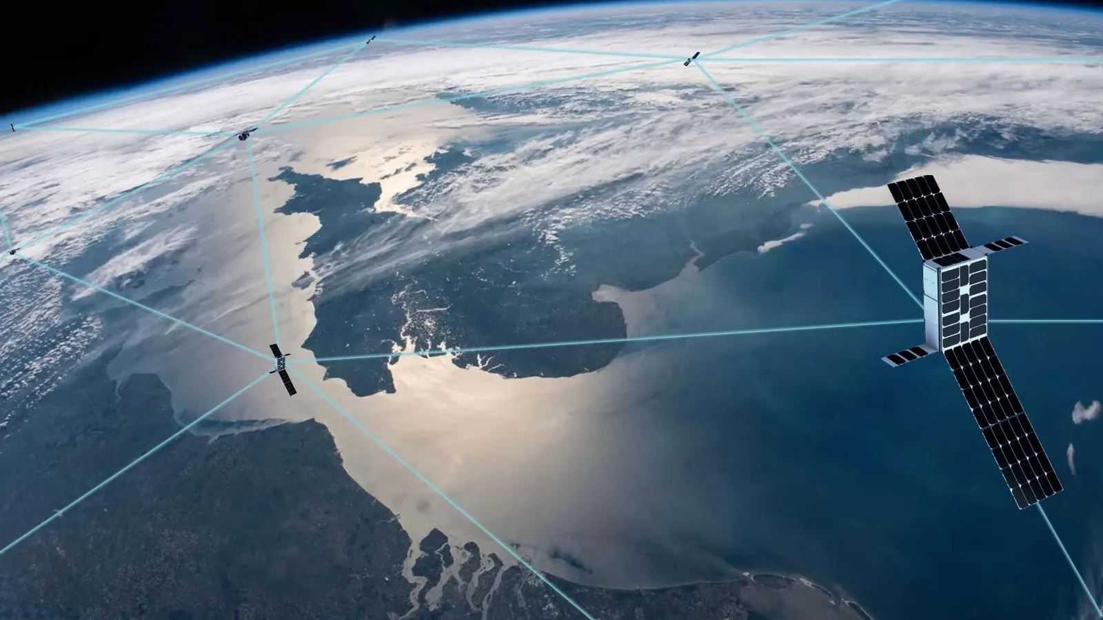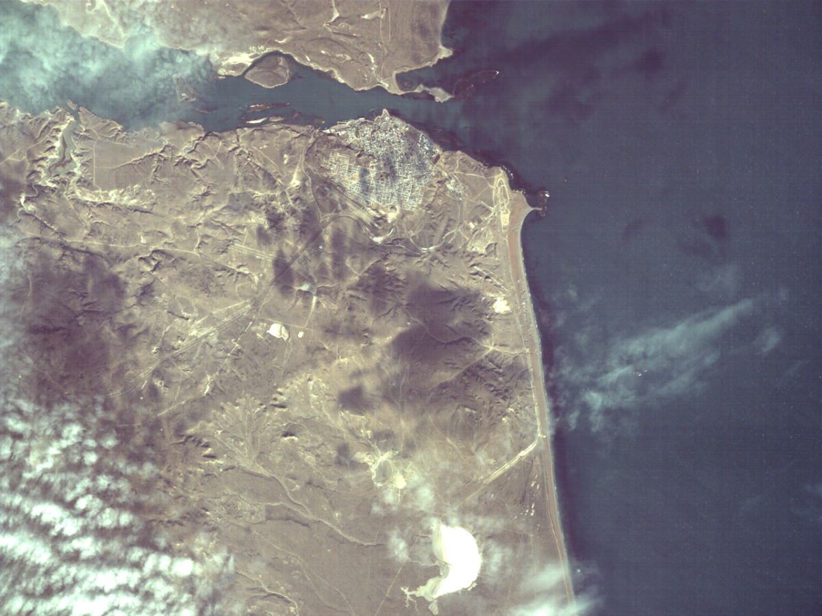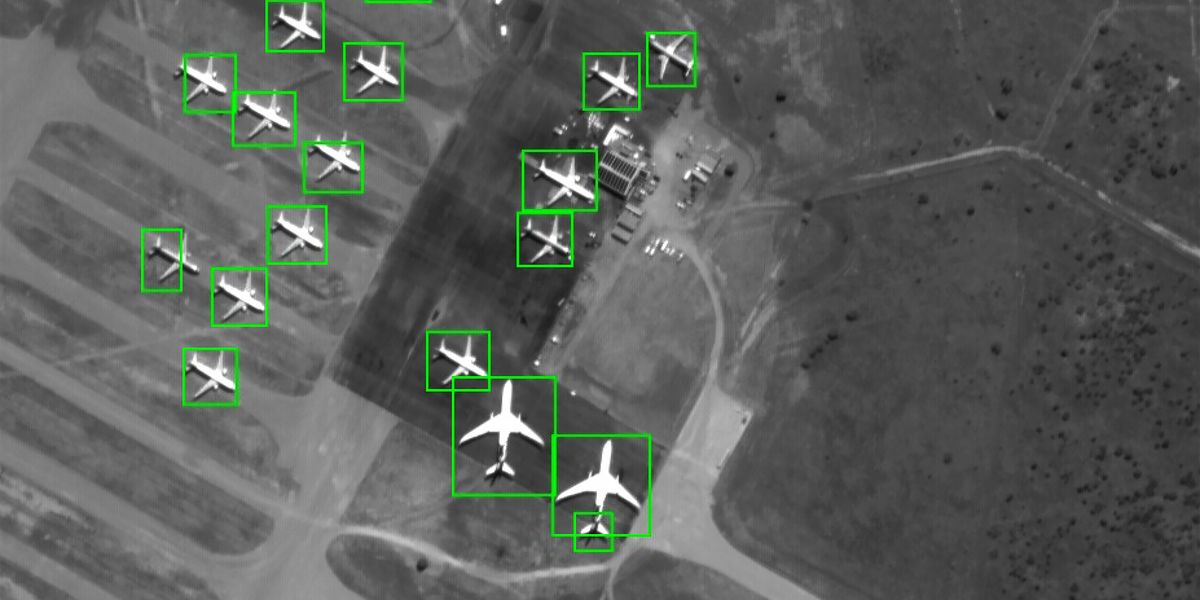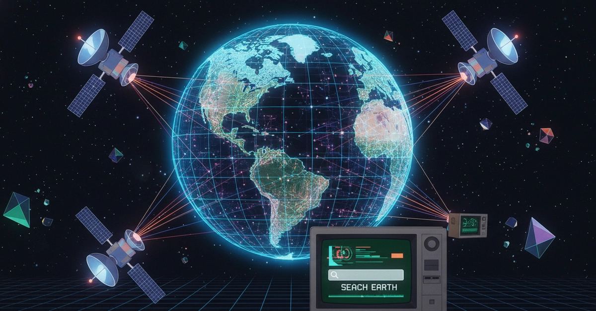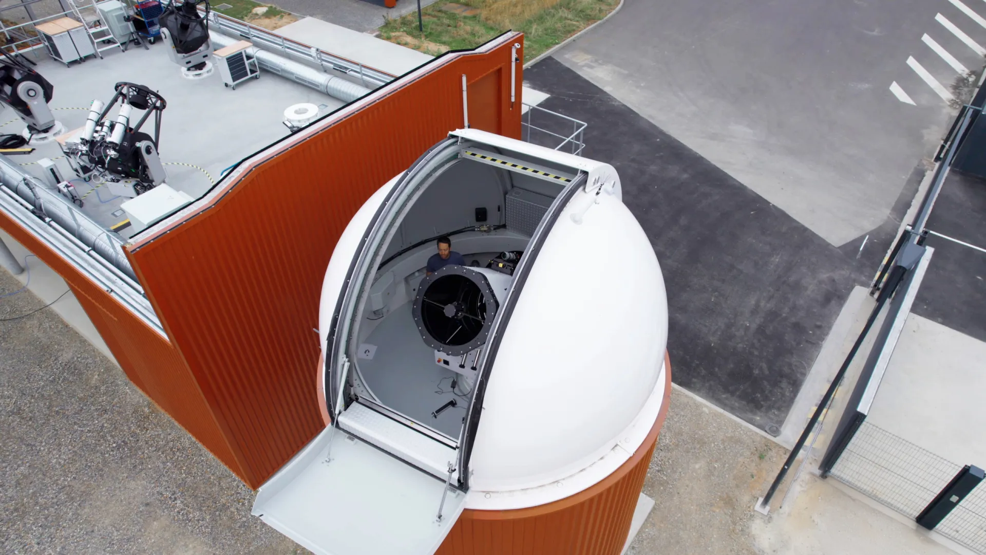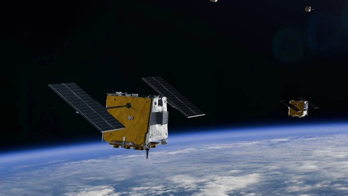
The standard approach to satellite imagery is to snap huge batches of pictures and beam them back to Earth, where they can be sifted through by human operators and the best available algorithms.It's all worked well so far, but the time, transmission bandwidth, and energy required are starting to become bottlenecks. Modern satellites are simply capturing more pixels than scientists have time to look at.However, the YAM-9 satellite has just done something different: It has identified and described features in its image scans without needing to check back with ground control.Not only that, but it can be instructed with natural prompts that you might use with Google Gemini or Siri, such as "find me all the railway hubs in this country".A selection of the image types the satellite was asked to distinguish between. (Delfa Victoria et al., arXiv, 2026)The advance comes via a NASA-built program called NAVI-Orbital, developed by researchers at the NASA Jet Propulsion Laboratory (JPL) and tech startup Loft Orbital. "Tasking a satellite to recognize a new feature has historically required writing command sequences, revalidating onboard software, and uplinking new binaries," write the researchers in their arXiv preprint, which is yet to be peer-reviewed."Under the NAVI-Orbital paradigm, re-targeting amounts to editing and uploading a new prompt. This shortens the re-tasking cycle and broadens the set of potential task authors beyond those with specialized command-sequence expertise."Most of the time, when you interact with an AI chatbot like Claude or ChatGPT, your queries are sent to energy-intensive data centers, where they are processed and a response is sent back.By housing AI models on a device instead, the processing is much faster without that back-and-forth, and if you're a satellite, that means less need for ground communications."Usually, a user has to task the satellite using an API, wait for image collection and downlink, and then analyze the image using a pre-trained algorithm on the ground," Loft Orbital's senior marketing manager Sarah Preston told ScienceAlert."This AI can actually 'see' what's in the image and identify what the analyst is looking for, such as bridges, highways, specific bodies of water, or signs of natural disasters like flooding and wildfires."
In a First For Science, A Satellite Has Identified What It's Seeing From Space
The standard approach to satellite imagery is to snap huge batches of pictures and beam them back to Earth, where they can be sifted through by human operators and the best available algorithms.
956 words~4 min read