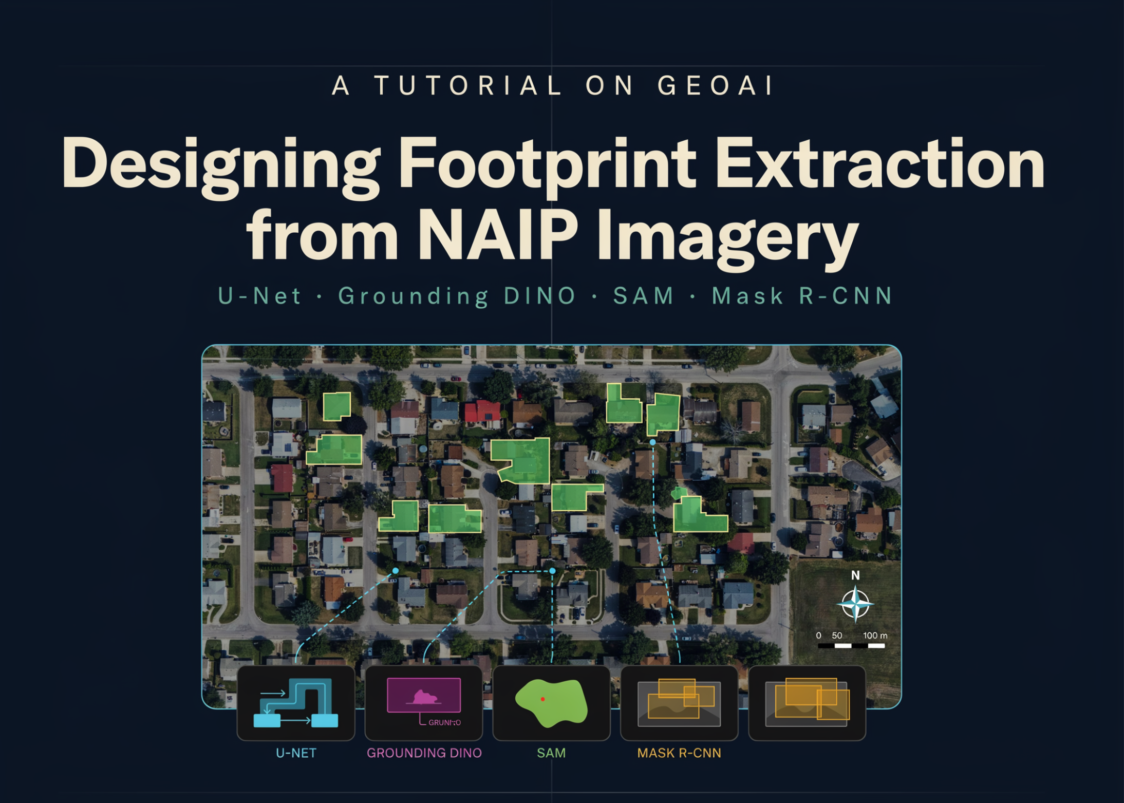
In this tutorial, we design a complete GeoAI workflow for extracting building footprints from high-resolution NAIP aerial imagery. We begin by configuring the geospatial deep learning environment, downloading raster imagery and vector labels, and inspecting their spatial properties before generating georeferenced image chips and segmentation masks. We then train a U-Net model with a ResNet-34 encoder, evaluate its learning behavior, and apply sliding-window inference to an unseen scene. Beyond semantic segmentation, we convert predicted masks into cleaned and regularized building polygons, calculate IoU and F1 metrics, explore zero-shot segmentation with Grounding DINO and SAM, and compare the results with a pretrained Mask R-CNN instance segmentation model. We also demonstrate how the same pipeline extends to real-world areas using NAIP imagery from Microsoft Planetary Computer and building labels from Overture Maps.
We configure the environment, install the required GeoAI and deep learning libraries, and verify GPU availability. We define the central configuration parameters for dataset creation, model training, inference, and optional processing stages. We then create the working directory, define reusable execution utilities, and download the NAIP imagery and building footprint labels.



 aws.amazon.com