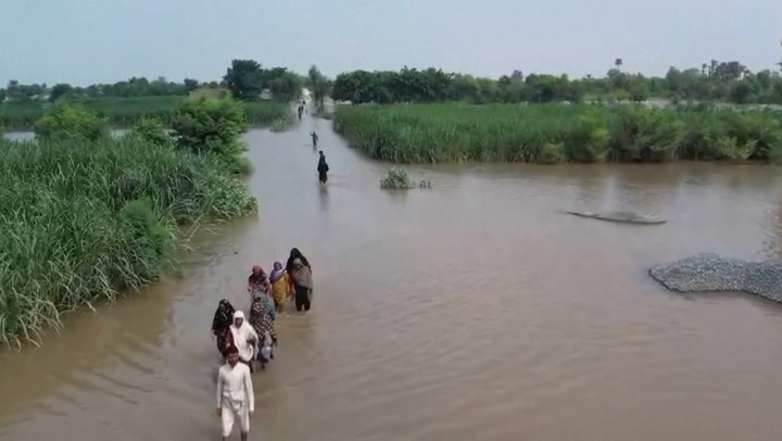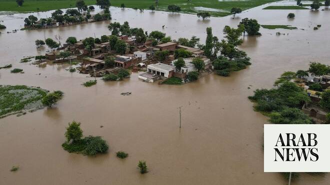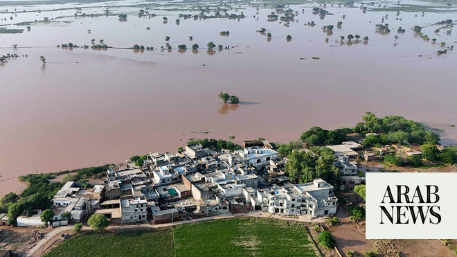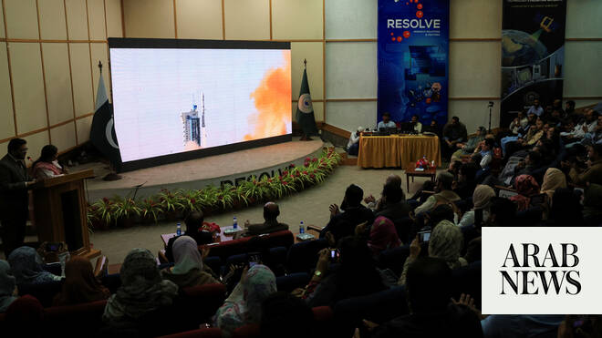
ISLAMABAD: Pakistan’s national space agency SUPARCO is using satellite mapping and real-time imagery to help guide rescue and relief operations, officials said on Friday, as monsoon floods have devastated much of the country, killing over 800 people since the beginning of the season and destroying farms and livestock.
The agency established its Space Application Center for Response in Emergency and Disasters (SACRED) in 2014 to provide space-based support for natural disasters, from floods and droughts to glacial lake outburst floods (GLOFs), earthquakes and landslides. With extreme weather striking more frequently, SACRED is now central to disaster management planning across the country.
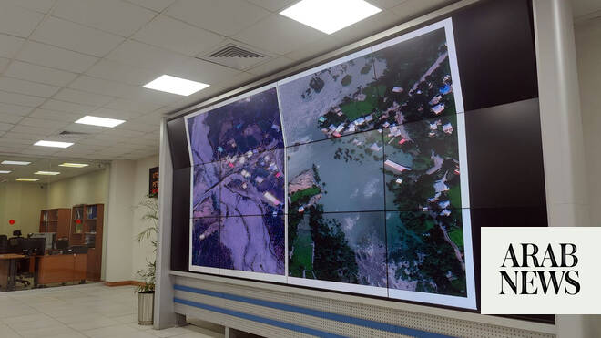
Speaking to Arab News on Friday, a SUPARCO official explained that satellites serve as the “country’s eyes in the sky,” capturing and monitoring areas cut off by rough terrain or extreme weather, and delivering crucial information, and satellite mapping to track and respond to the unfolding disaster.
“We [SUPARCO] provide real-time imagery of the affected flood area to different institutions at the national level and provincial level,” Jahanzeb Khan, General Manager Image Processing at SUPARCO told Arab News.