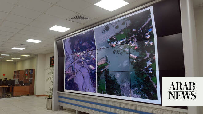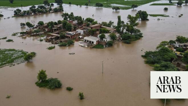
ISLAMABAD: Pakistan’s national space agency SUPARCO on Thursday said it provided satellite images of flood-hit areas to help prioritize the government’s relief and rehabilitation efforts.
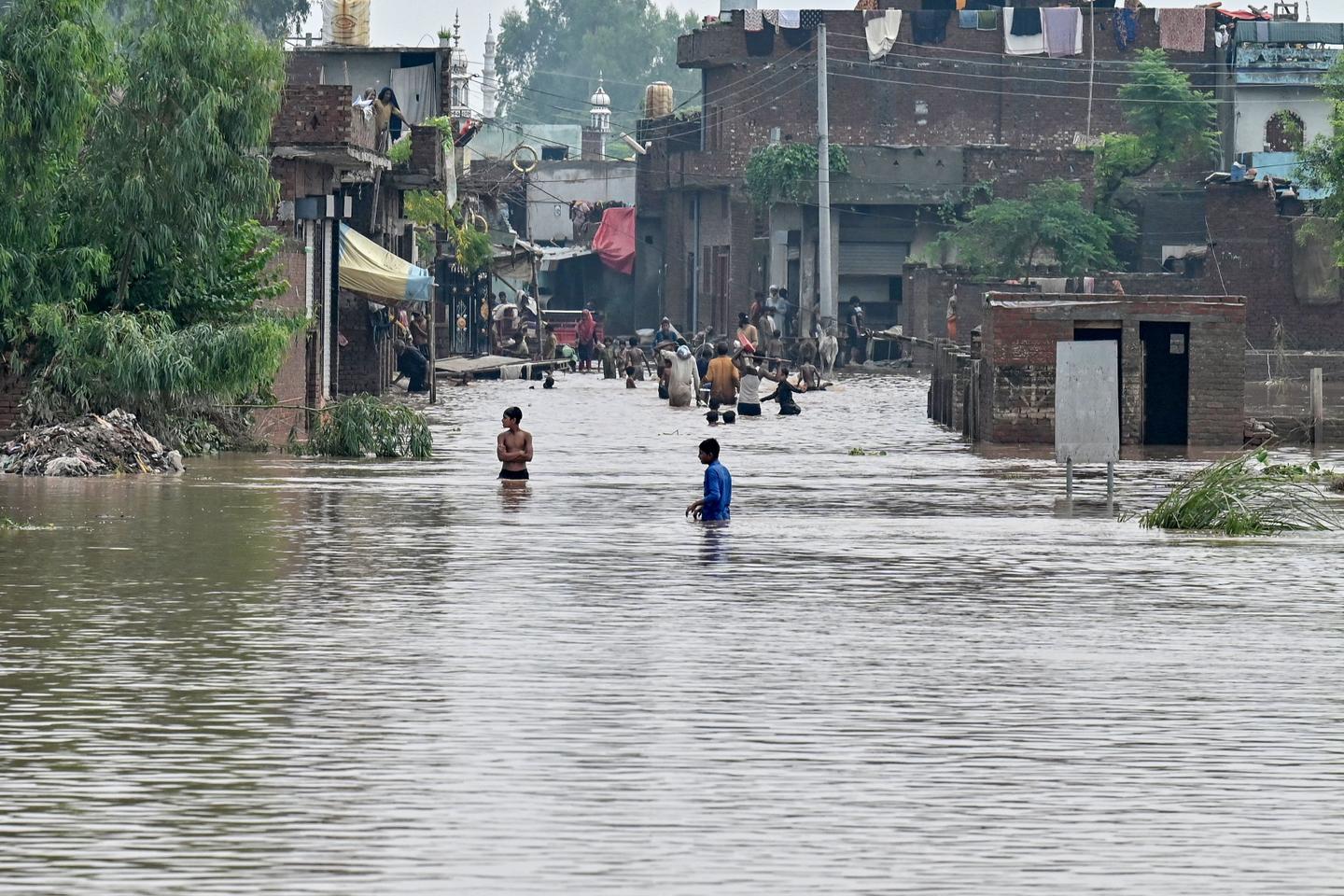
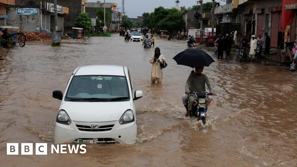
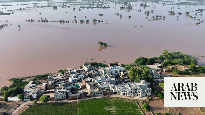
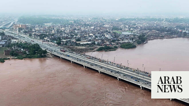
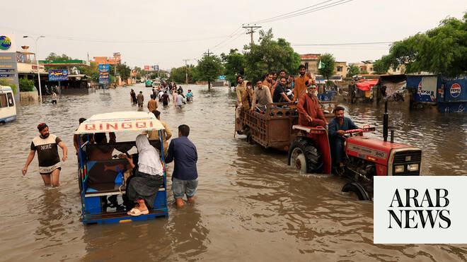
Large areas of Punjab, Pakistan’s most populous province, have been inundated after India opened all gates of its major dams in the Kashmir region following heavy rains, sending water surging into the Sutlej, Chenab and Ravi rivers.
At least 15 people have died in the latest spell of monsoon floods, with army units deployed for relief operations in the worst-hit districts, including Lahore, Kasur, Sialkot, Faisalabad, Narowal, Okara, Hafizabad and Sargodha.
“SUPARCO acquired pre- and post-satellite images of the affected areas, enabling authorities to clearly observe the situation,” the space agency said in a statement.
“These images showed submerged settlements, damaged roads and disrupted communications,” it continued. “Such space-based information is crucial in disaster management as it allows rapid assessment of the situation, identification of vulnerable zones and prioritization of relief and rehabilitation efforts.”