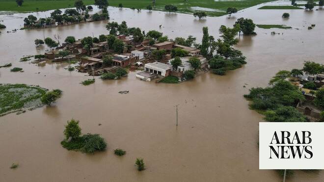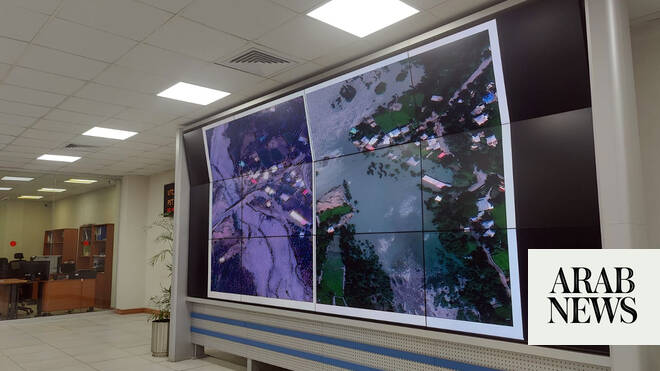
KASUR, Pakistan: The administration of Pakistan’s eastern Punjab province will use satellite imagery to assess crop losses from this week’s devastating floods and compensate farmers, a provincial minister said on Saturday, as raging rivers submerged farmland and forced tens of thousands to flee their homes.
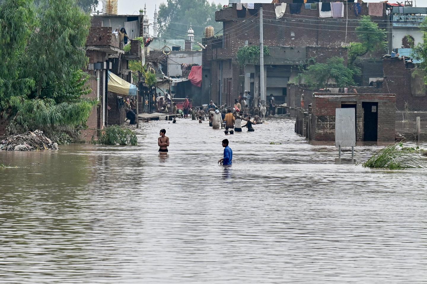
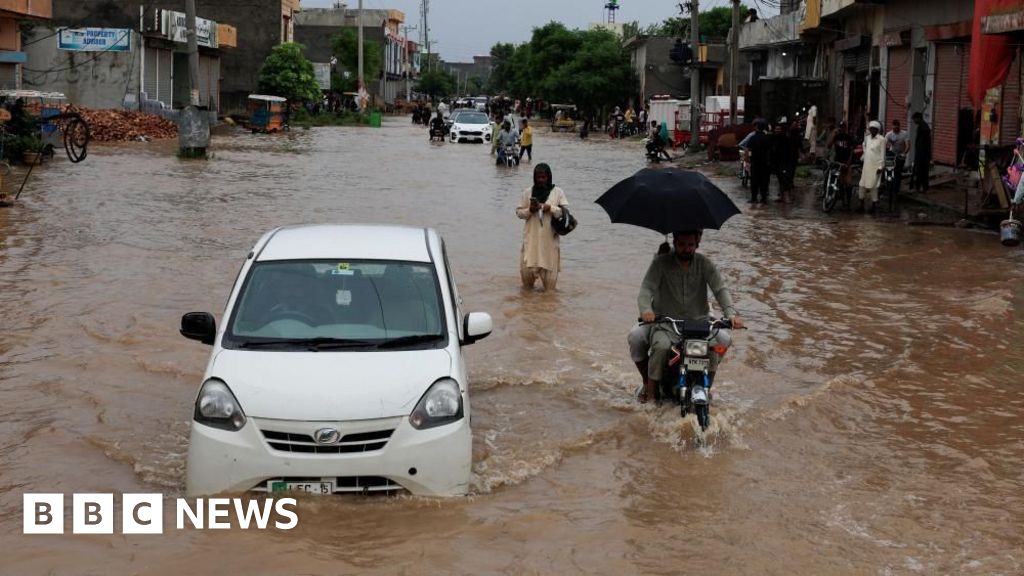
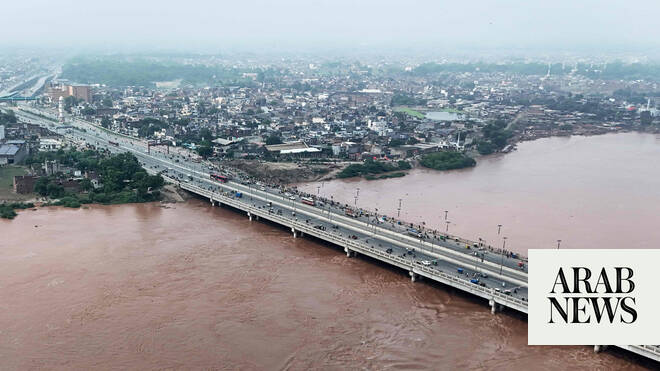
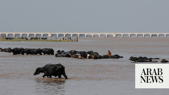
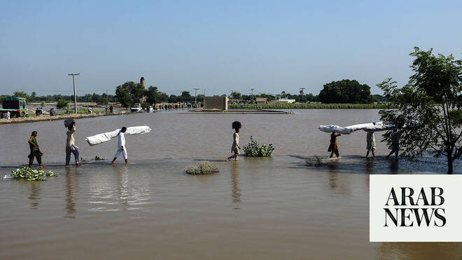
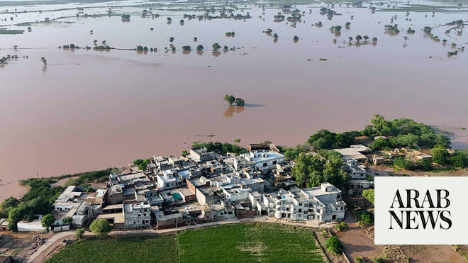
The flooding began on Monday after India released water into the Chenab, Ravi and Sutlej rivers following several heavy monsoon spells, swelling their flows and inundating vast tracts of land. As the rivers surged into Pakistan, they destroyed rice fields and fodder crops, swept away herds and submerged entire settlements, uprooting farming families and leaving them without food or income.
In Punjab’s Kasur district, which borders India, more than 45,000 people were evacuated on Friday night alone after powerful floodwaters broke an embankment on the Indian side of the Sutlej.
On Saturday, flocks of people were still seen moving out of their villages near Ganda Singh Headworks with livestock, many struggling in heavy rain.
“We have information on the [damaged] crops through satellite,” Punjab Health Minister Khawaja Salman Rafique told Arab News while visiting the area.