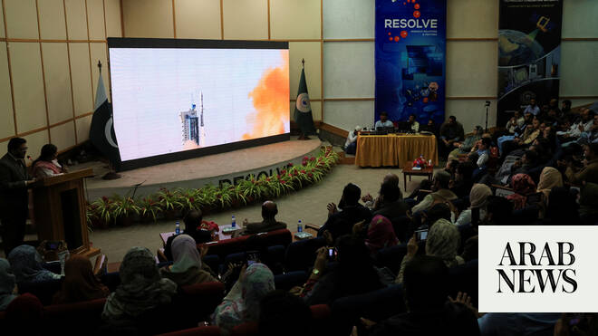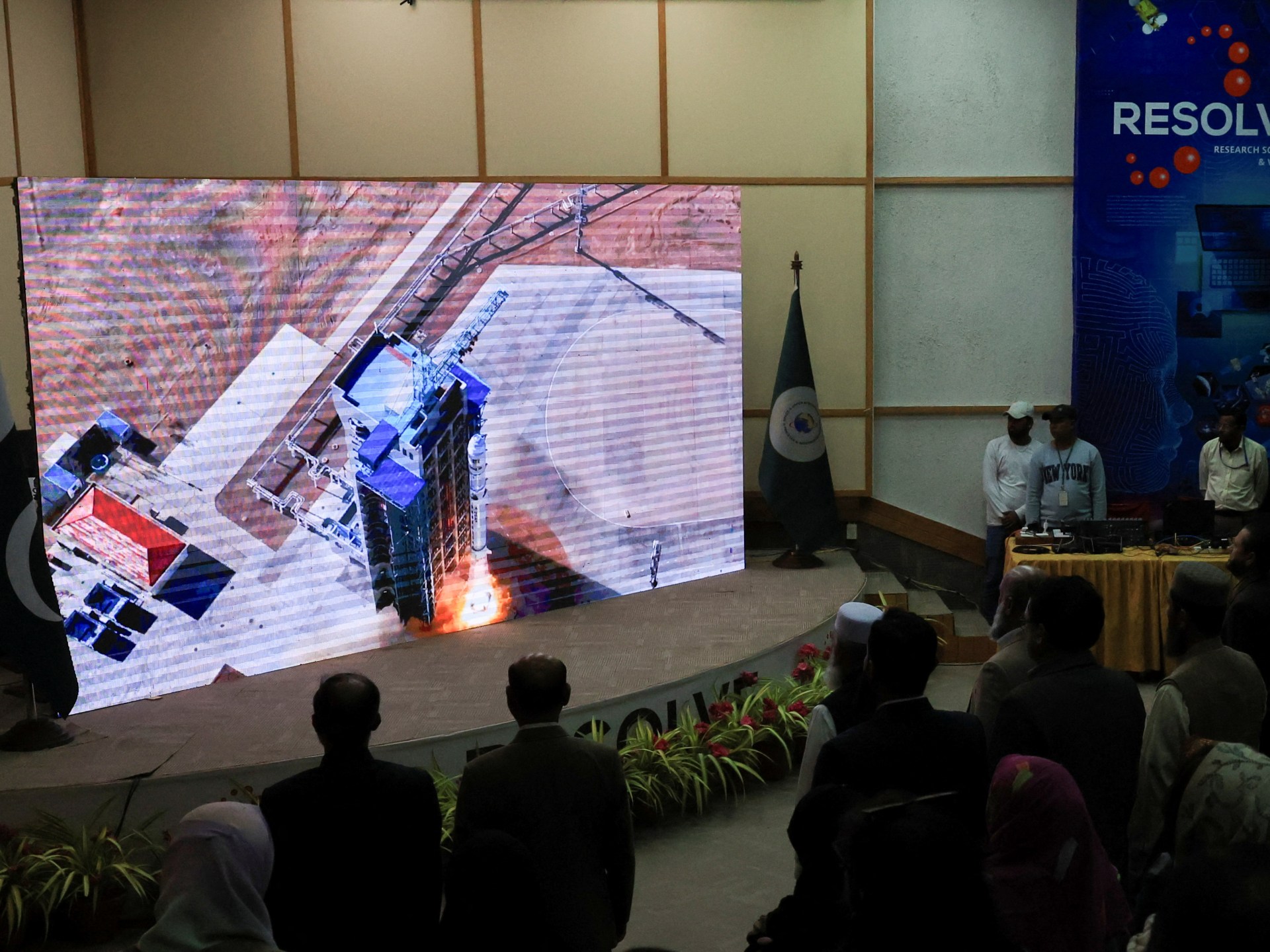
ISLAMABAD: Pakistan will be launching another remote-sensing satellite from a Chinese launch center next week to monitor resources and boost disaster management efforts, its space research commission SUPARCO announced on Sunday.
The launch of the satellite will mark a major milestone in Pakistan’s space program, significantly enhancing its Earth observation capabilities. It will support a wide range of national applications, including precision agriculture to boost crop yields, monitoring infrastructure growth and urban sprawl, and enabling regional planning, according to SUPARCO.
The satellite will strengthen disaster management efforts by providing timely warnings for floods, landslides, and earthquakes, while tracking glacier recession and deforestation. In addition, it will support national development initiatives by mapping transportation networks and identifying geo-hazard risks.
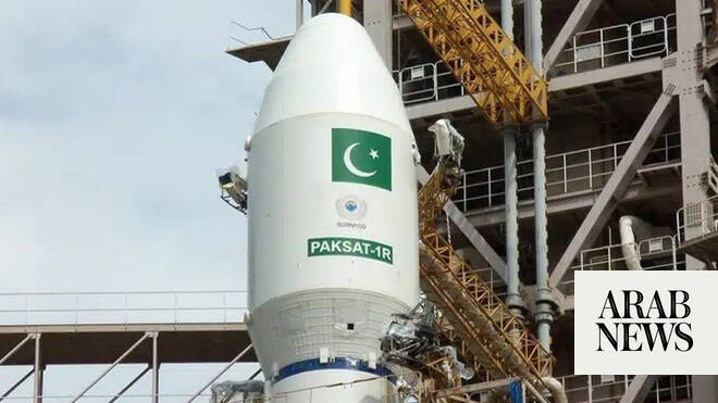
"The launch of this remote sensing satellite, along with its integration into Pakistan’s existing remote sensing fleet — including PRSS-1 (launched in July 2018) and EO-1 (launched in January 2025) — will further strengthen the country’s space-based infrastructure, aligning with the National Space Policy and SUPARCO’s Vision 2047, aiming to position our nation at the forefront of space technology and innovation," SUPARCO said in a statement.