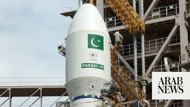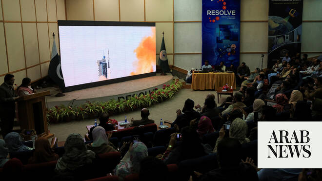
ISLAMABAD: The Pakistan Space and Upper Atmosphere Research Commission (SUPARCO) has confirmed the “successful deployment” and “operational readiness” of the country’s latest remote sensing satellite, launched from Xichang Satellite Launch Center (XSLC) in China, on July 31.
The satellite, PRSS-1, will primarily be used in the fields of land resource surveys and disaster prevention and mitigation, and it will help promote the development of Pakistan, Planning Minister Ahsan Iqbal said this month.
SUPARCO said the satellite, following the successful launch, has established “stable contact” with ground stations and begun capturing and transmitting high-resolution imagery, greatly enhancing data availability and reliability for various national sectors.
“The satellite will deliver high-quality imaging capabilities to support a wide range of applications, revolutionizing urban planning, infrastructure development, and regional planning by monitoring urban expansion and growth trends,” it said in a statement on Friday.
“It will strengthen disaster management efforts through timely data for early warnings and rapid response to floods, landslides, earthquakes, and other hazards, while also aiding environmental protection by tracking glacier recession, deforestation, and climate change indicators.”