The South African National Space Agency (Sansa) has launched three earth observation decision support tools to translate satellite data into actionable intelligence on air pollution, flood risk and water security.
The tools, covering air quality, disaster management and water management, were built through extensive consultation between government, industry, academia and environmental practitioners and marks a significant step in Sansa's mission to put space technology to work for everyday South African problems.
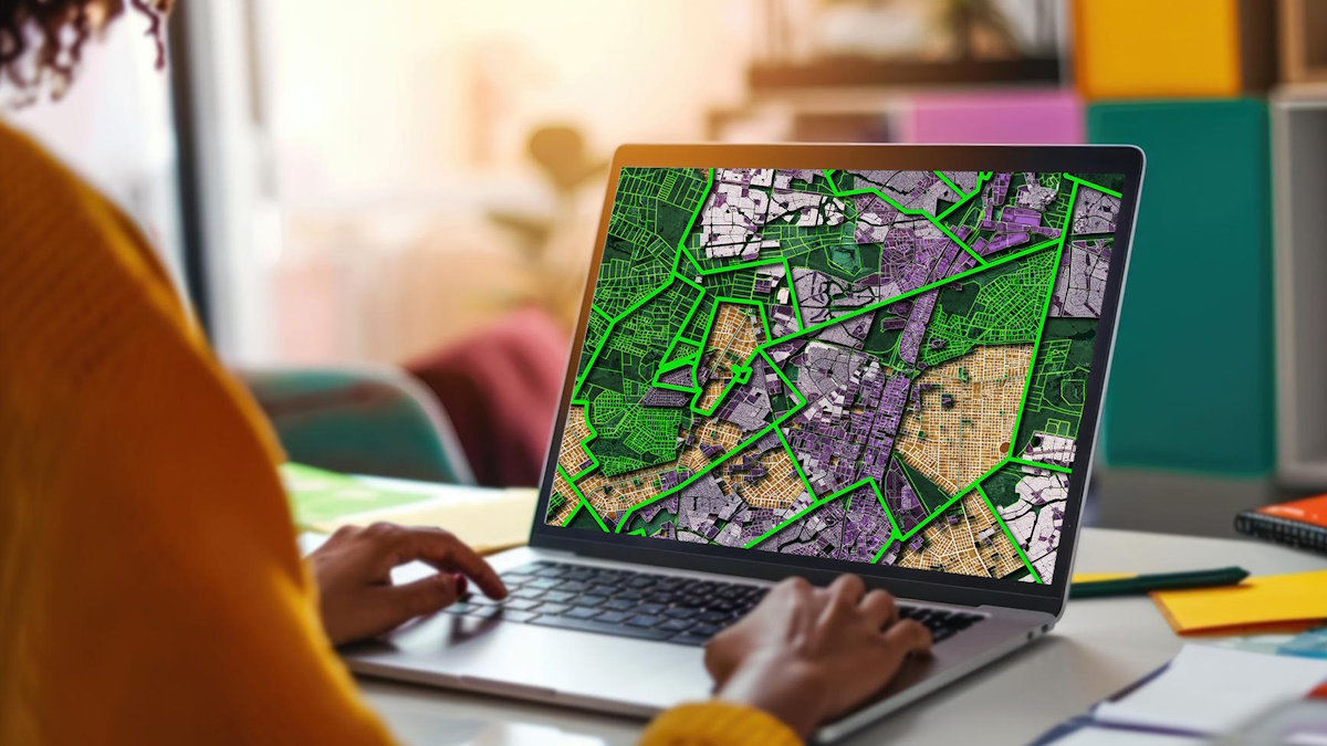
The air quality management tool has been developed to provide real-time, satellite-derived forecasts of key pollutants across South Africa and uses the Air Quality Index to give municipalities, regulators and industry a clear, month-by-month picture of air quality in towns and cities nationwide, flagging dominant pollutants, likely sources and trends over time to support public health interventions and compliance monitoring.
Additionally, with climate-related disasters intensifying, the disaster management decision support tool focuses on flood risk, offering real-time risk mapping, post-disaster damage assessment and predictive early-warning capabilities designed to help authorities protect lives, infrastructure and economic assets before and after a flood hits.