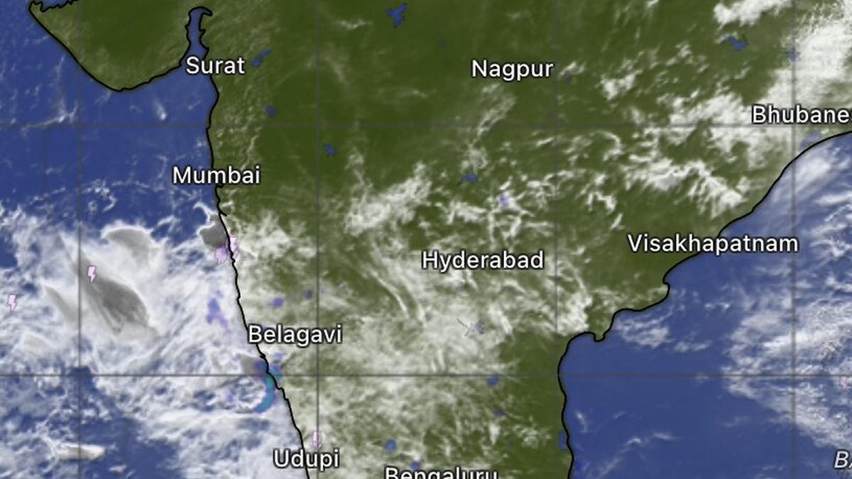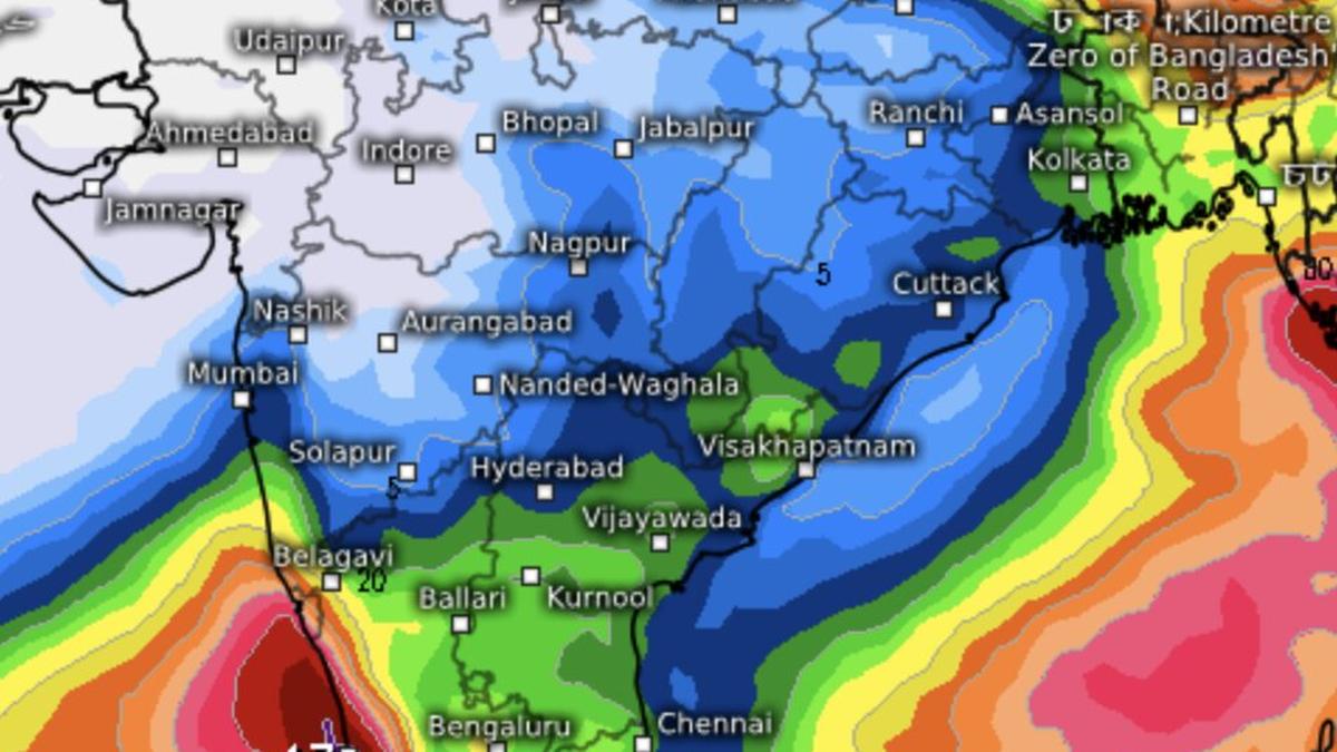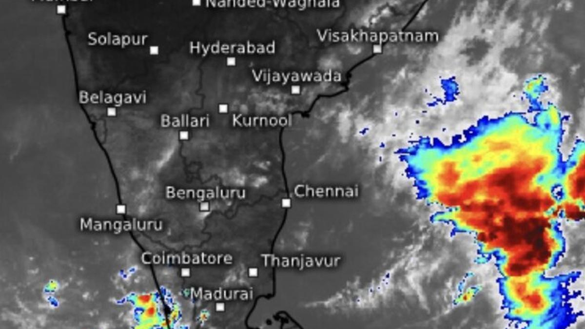
Convection and cloud building were spotted off Kerala on Thursday noon but not enough to precipitate onset of monsoon, which may have to wait even further, according to India Meteorological Department.
| Photo Credit:
www.meteologix.com/in
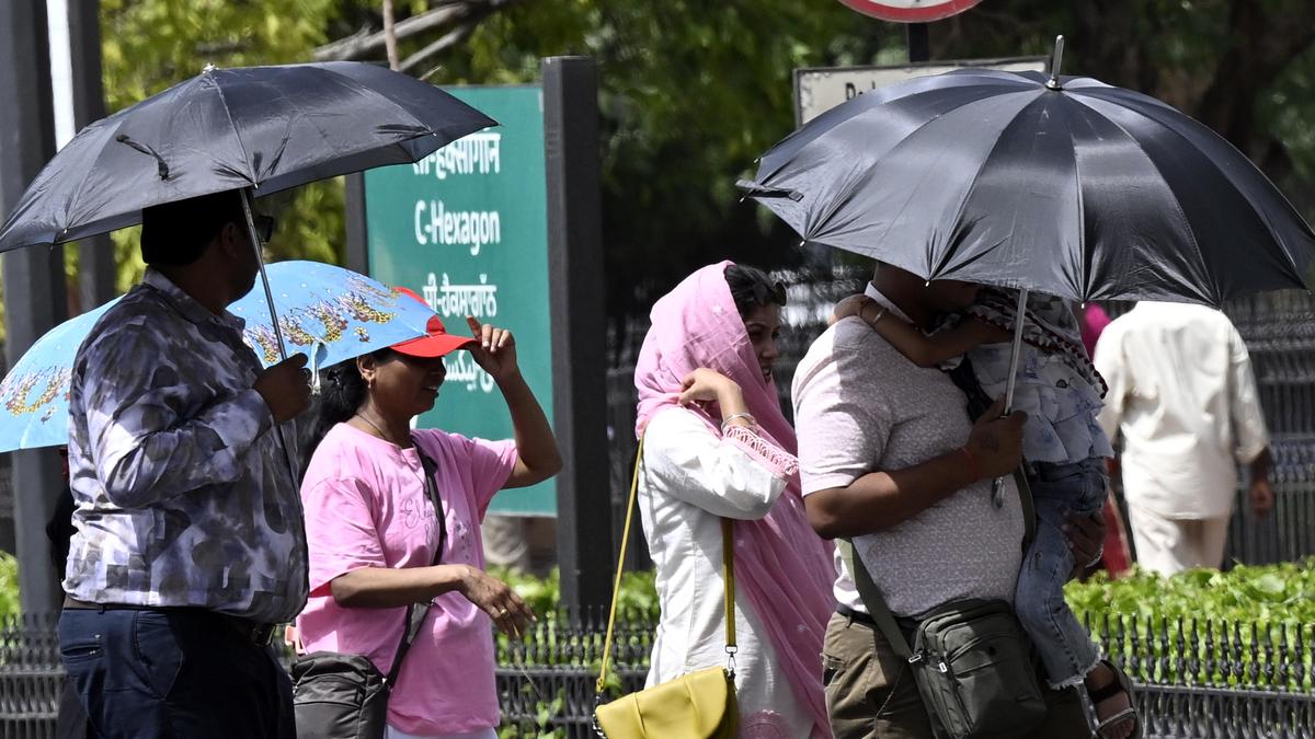
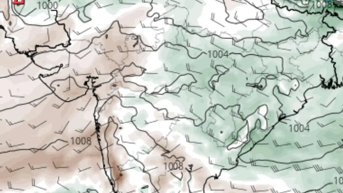
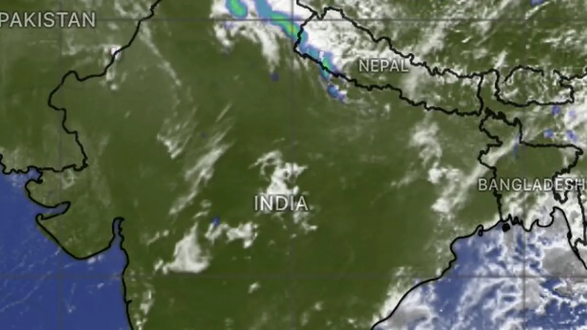
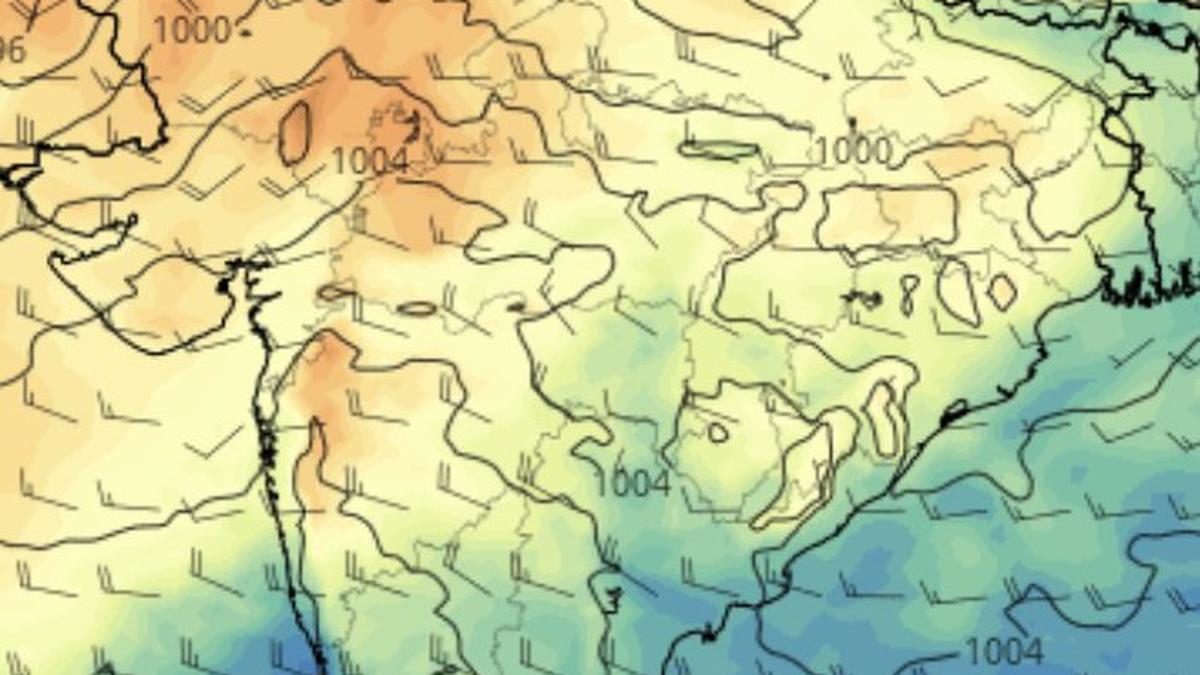
North-West and adjoining Central India have warmed enough to establish the pressure gradient needed for the monsoon’s advance. But an approaching western disturbance now threatens to disrupt the carefully aligning conditions for its timely and well-structured onset over the Kerala coast in the south. Once sufficiently heated, the land opens up a broad pressure gradient (higher pressure over the seas and lower across the subcontinent) creating a natural corridor for the monsoon to sweep into the Kerala and advance steadily north and east. The incoming disturbance threatens to block the formation of this crucial channel.Chicken-and-eggIt is a chicken-and-egg situation. Had the monsoon arrived on schedule with its full sweep of westerly and south-westerly winds, the disturbance would scarcely have found room to plunge so far south. Instead, numerical weather charts from India Meteorological Department (IMD) suggest it could venture down by June 1 to south-west Bay of Bengal and and even parts of Sri Lanka, unusually deep for this time of year.Contrarian windsThis appears to suggest, if it was the seas that seemed reluctant to support the monsoon’s onset, now the atmosphere over land may also be turning resistant. Western disturbances bring a pronounced north-westerly wind component — exactly the kind of flow that disrupts the monsoon, whose strength relies on warm, moisture-laden westerly and south-westerly winds surging in from the seas.Relief from heatThe India Meteorological Department (IMD) on Thursday morning located the disturbance as a cyclonic circulation over north Pakistan. It is expected to drift gradually into North-West India before spreading eastward and southward, encountering little resistance in the absence of an established monsoon current.Associated cooler north-westerly winds may, however, bring relief from the oppressive heat that pushed temperatures to 48.2°C on Wednesday at Sriganganagar in Rajasthan. Thunderstorms, lightning and gusty winds are forecast across many parts of North-West, Central and East India during the next few days. Pacific typhoonAnother shift in evolving weather is an anticipated low-pressure area over the east Bay of Bengal may now fail to materialise. Instead, the south-westerly flows from the Arabian Sea, routed through the Bay, appear set to veer into the western Pacific off the Philippines, where they are likely to feed the brewing typhoon Jangmi.Published on May 28, 2026