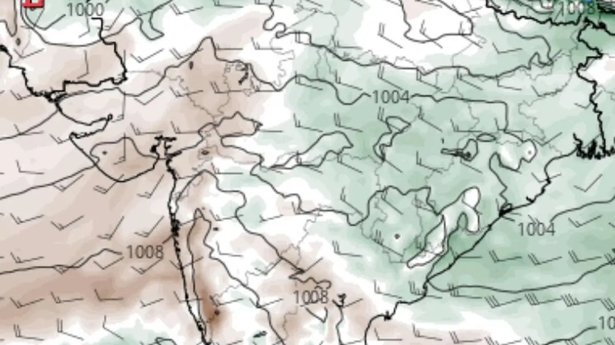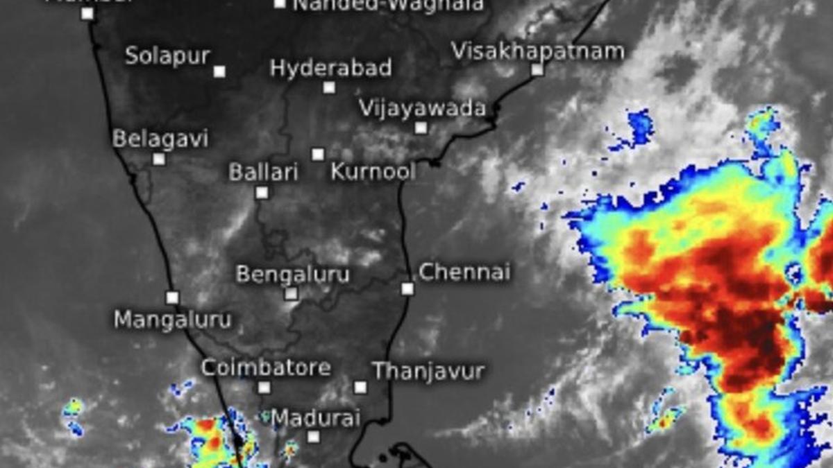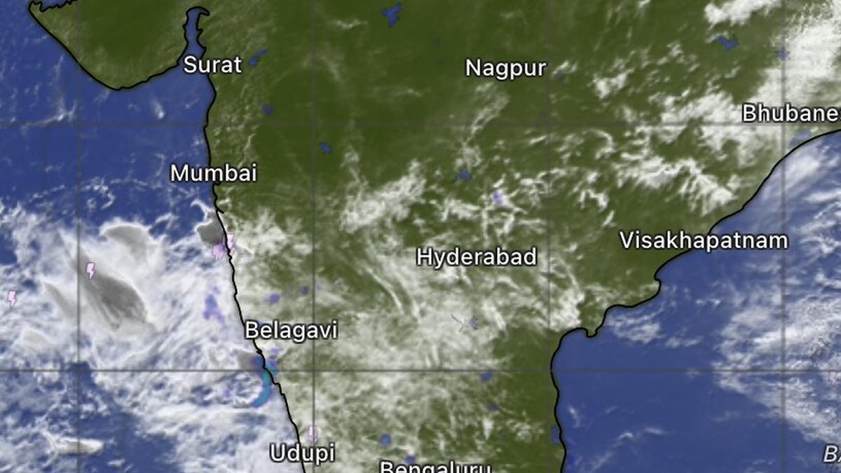
Satellite map this (Tuesday) morning showed monsoon clouds persisting south of Mumbai, but extending towards the rest of the west coast right up to Thiruvananthapuram.
| Photo Credit:
www.windy.com
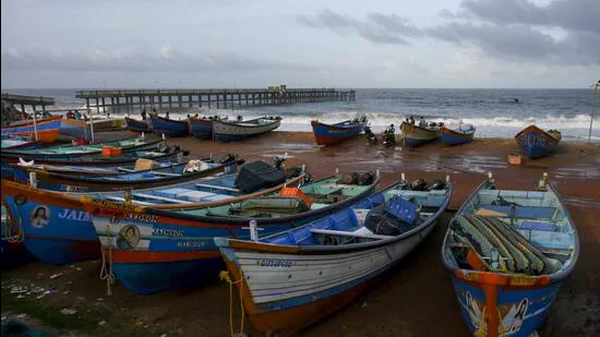
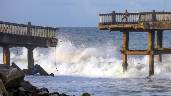
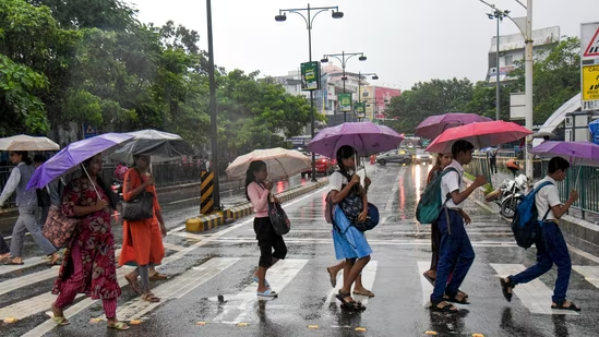
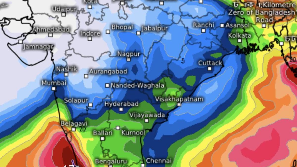
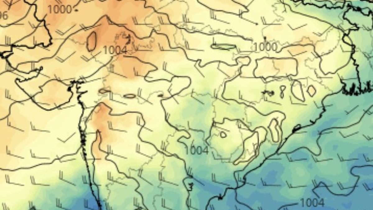
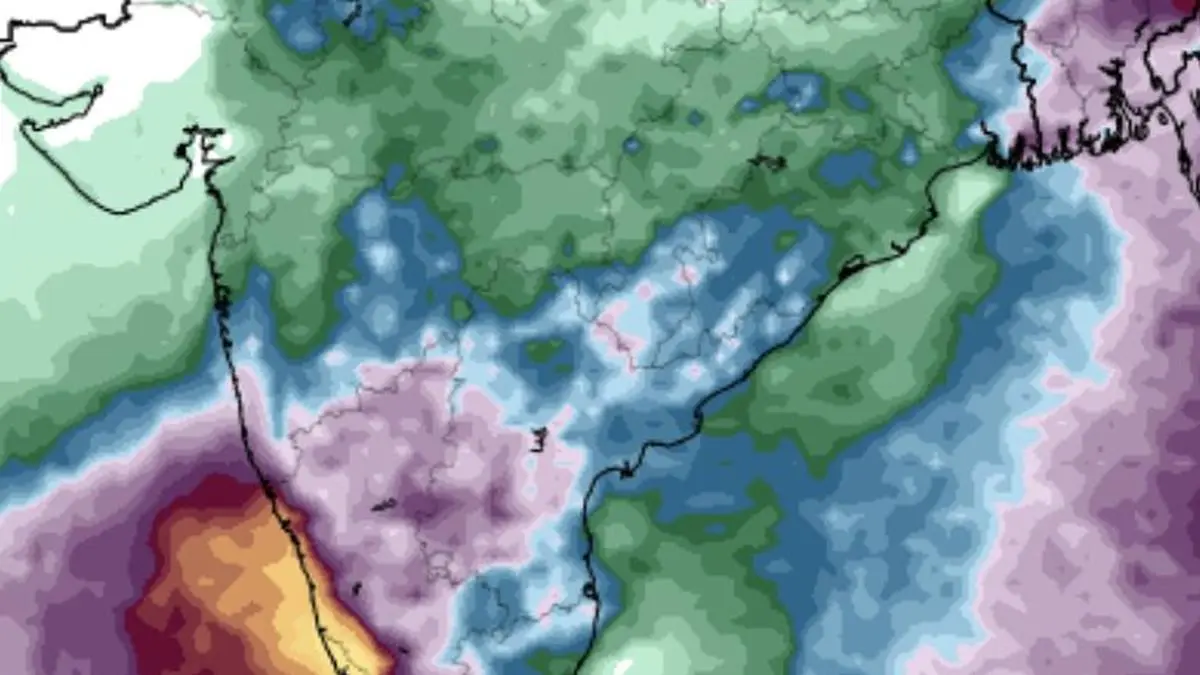
The monsoon remains vigorous along stretches of India’s west coast - from Ratnagiri in Maharashtra through Panaji in Goa, and Mangaluru in Karnataka to Thiruvananthapuram in Kerala. However, questions are emerging over the sustainability of the heavy-rain regime beyond a couple of days.Rain and thundershowers are being reported this (Tuesday) morning across parts of interior Maharashtra; Karnataka; and Telangana, including Akole, Pune, Satara and Kolhapur in Maharashtra; Belagavi, Hubballi, Davanagere, Shivamogga, Kalaburagi, Bengaluru, Mysuru and Raichur in Karnataka; Hyderabad, Jadcherla and Khammam in Telangana; Kurnool, Macherla, Markapur and Ongole in Andhra Pradesh; and Dharmapuri, Salem, Cuddalore, Tiruchirappalli, Nagapattinam and Madurai in Tamil Nadu.Cyclonic circulationA cyclonic circulation persists over the east-central Arabian Sea off the south Konkan coast, helping strengthen monsoon flows across south Goa; Karnataka; Telangana; and Andhra Pradesh. Over Mumbai, however, winds are expected to remain relatively weak, limiting the prospects for a full-fledged monsoon onset for the next few days. Even so, Mumbai and adjoining areas could receive thundershowers under the influence of an approaching western disturbance, with an associated trough extending into the north-east Arabian Sea off the Konkan coast.Western disturbanceAccording to the India Meteorological Department (IMD), the intruder disturbance will affect the Himalayan region over next two days. A relatively weak successor is expected around Saturday and may persist until June 17. As a result, the monsoon’s progress is likely to remain sluggish during this period. The European Centre for Medium-Range Weather Forecasts (ECMWF) indicates that this slowdown could begin as early as Thursday.Heavy rainfallHeavy rainfall on Wednesday is expected to be largely confined to the coastal belt from Panaji (Goa) through Karwar and Bhatkal to Mangaluru (Coastal Karnataka) and Kannur (Kerala). Thereafter, both the intensity and spatial extent of rainfall are likely to decrease progressively over the following days.Forecasters are also monitoring signs of a circulation developing over the Bay of Bengal near the Andhra Pradesh–Odisha coast by June 22-23. If it materialises, it could provide fresh momentum for the monsoon’s advance into Central India, as also along the northern parts of the west coast.Published on June 9, 2026