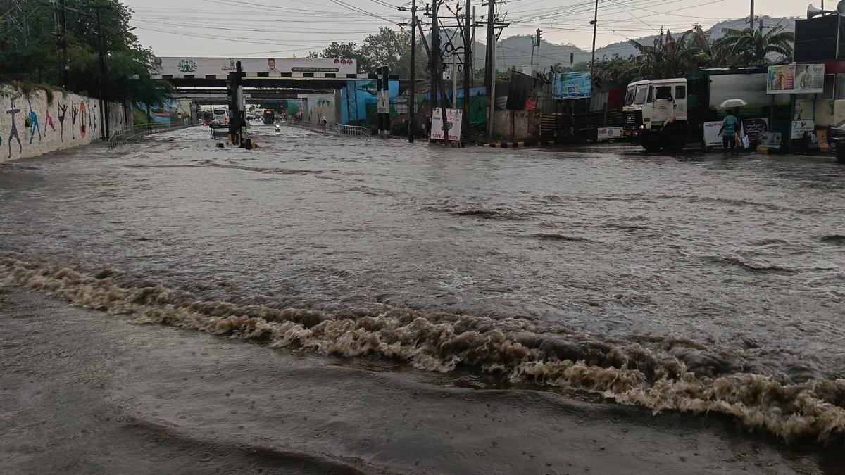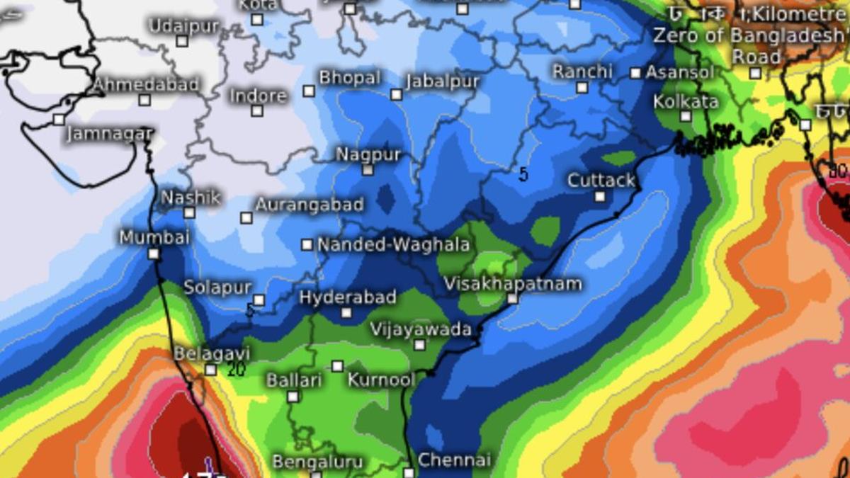
Forecasts until Saturday indicate a hesitant revival of the monsoon over Kerala-Karnataka coasts (in light green to corner left). Rains are expected also over East India and parts of North-West India, partly from incoming western disturbances.
| Photo Credit:
www.tropicaltidbits.com
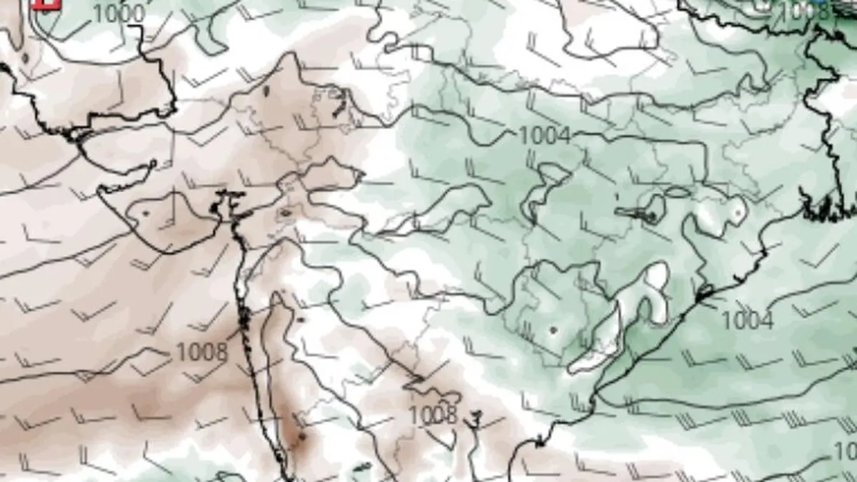
Dry westerly winds sweeping in from across the international border dominate north and north-west India, blocking south-easterly monsoon flow from the Bay of Bengal and keeping its seasonal advance at a standstill. Forecasts, however, indicate a tentative revival of rainfall along the west coast during the coming week.Monsoon stalls India Meteorological Department (IMD) said on Monday that the northern limit of the monsoon remained unchanged for a week, passing through Harnai and Solapur in Maharashtra; Hyderabad; Bhadradri and Kothagudem in Telangana; Kalingapatnam in Andhra Pradesh; Paradeep and Baripada in Odisha; Purulia in West Bengal; Dhanbad in Jharkhand; and Muzaffarpur in Bihar.The IMD expects conditions to remain favourable over the next four to five days for the monsoon to advance into more parts of Maharashtra; remaining areas of Karnataka; Telangana; and Andhra Pradesh, as well as West Bengal; Odisha; Jharkhand; Bihar; and parts of south Chhattisgarh, where it has established its presence/Seasonal trough A positive development is establishment of crucial seasonal trough stretching from west Rajasthan to the plains of West Bengal through north-east Rajasthan; north Madhya Pradesh; south Uttar Pradesh; Bihar; and Jharkhand. The trough persisted on Monday and will serve as the key pathway through which moisture-laden south-easterlies from the Bay would potentially penetrate Central and North-West India.No low-pressure areaA stronger monsoon push requires formation of a low-pressure area over the Bay to energise and deepen the moist south-easterly flow. Current forecasts offer little support for such a system through the remainder of June. While some weather models indicate weak wind convergence along the Andhra Pradesh-Odisha coast, they show no significant development capable of sustaining widespread rain-bearing systems over eastern India.Adding to the uncertainty are unfavourable upper-air features, including troughs and a western disturbance traversing the region on Monday. These are likely to inhibit the formation of a meaningful Bay system in the near term, delaying any decisive advance of the monsoon into Central and North-West India. Published on June 15, 2026