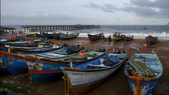
Outlook for Thursday said heaviest of rainfall might be recorded around Mangaluru in Coastal Karnataka and less so over adjoining Kerala coast while Mumbai missed the date with monsoon on Wednesday.
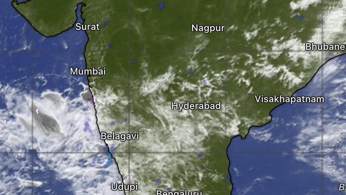
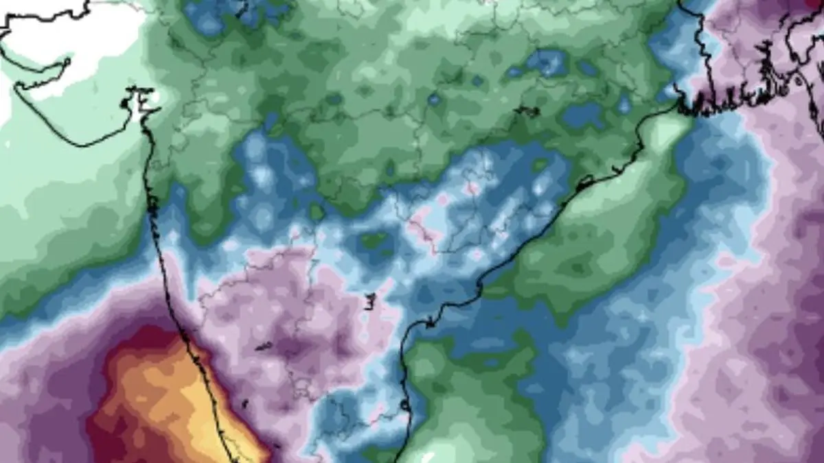
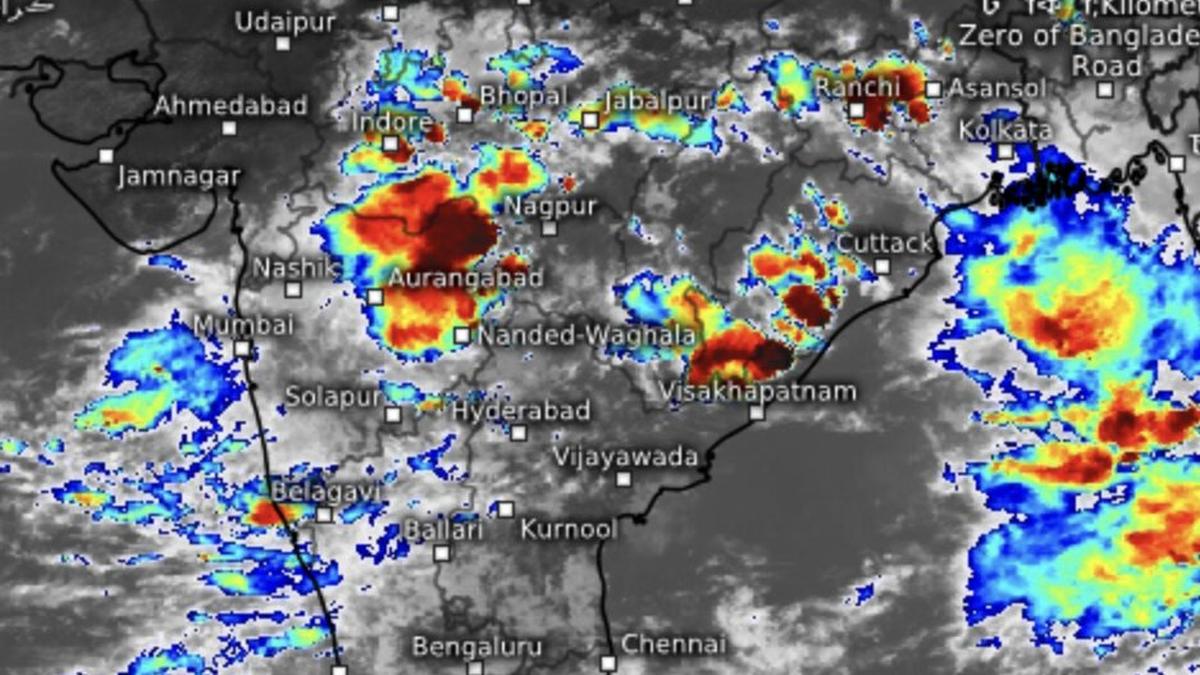
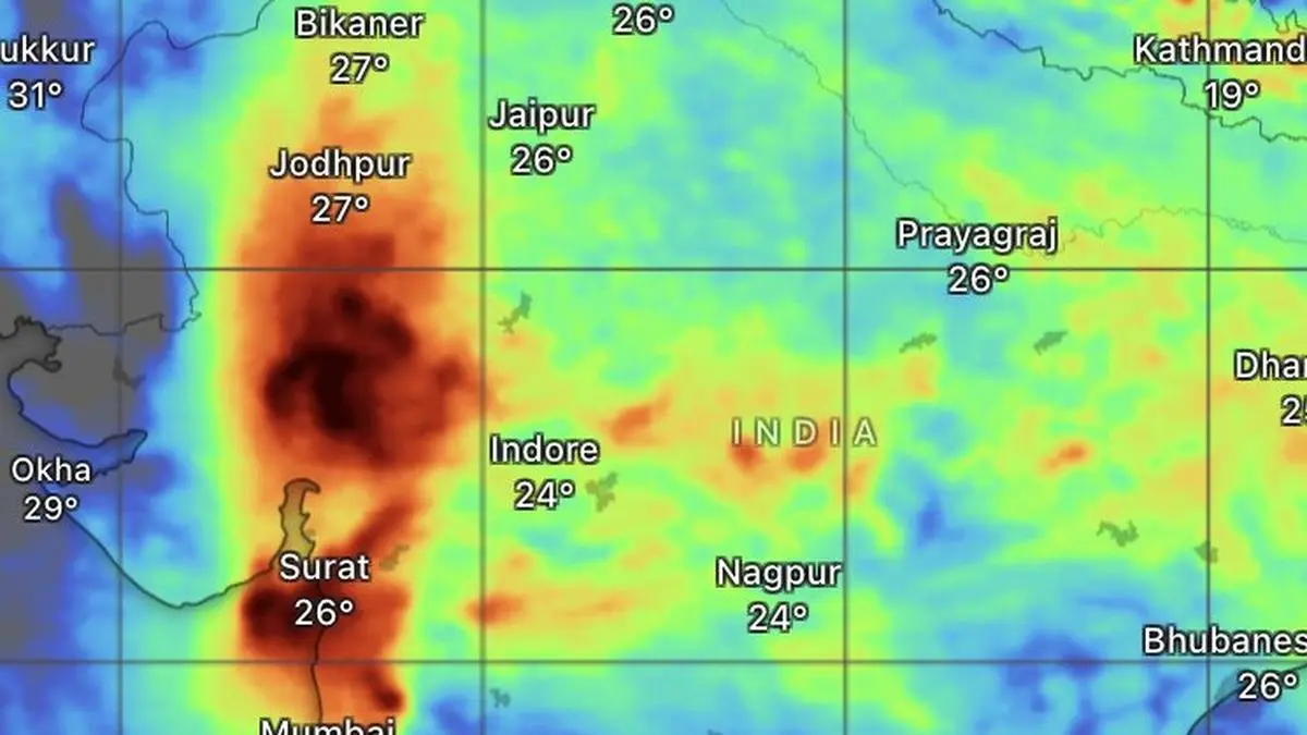
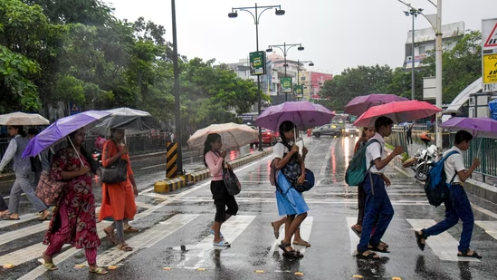
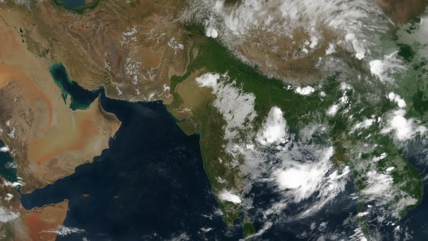
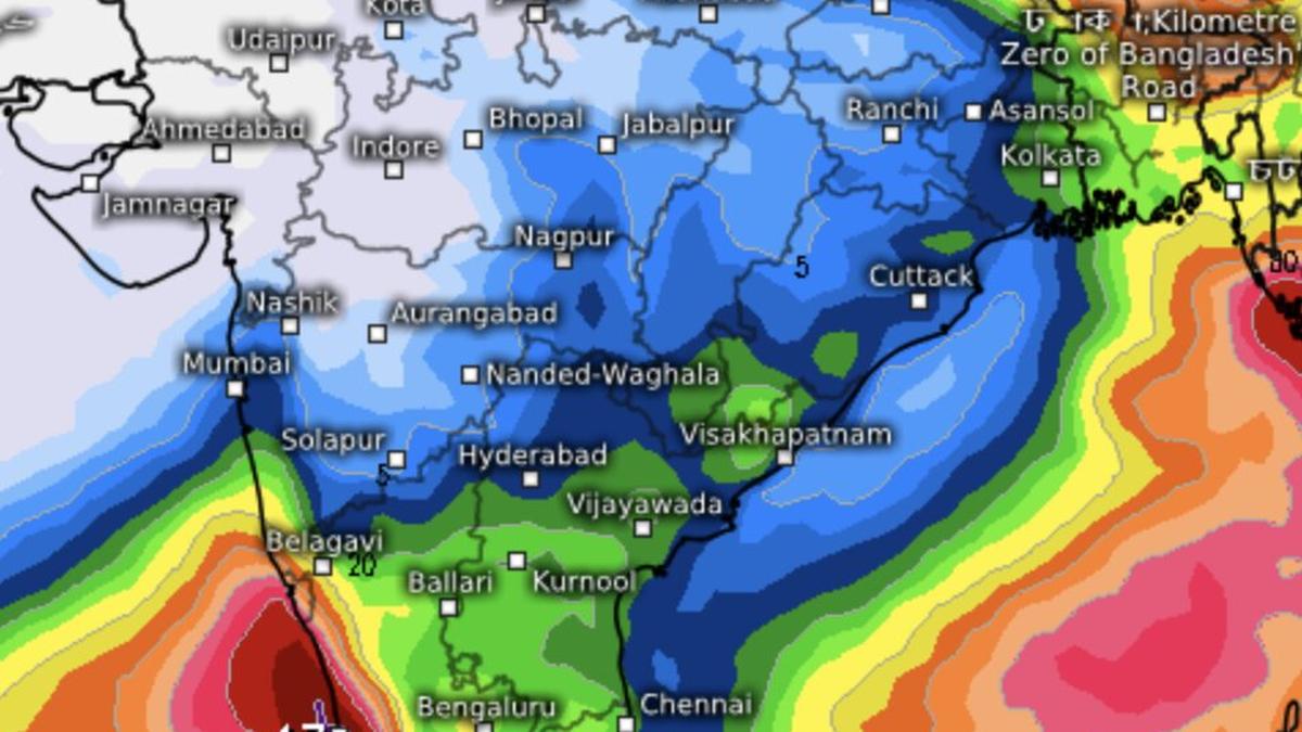
The belt of heavy to very heavy rainfall has shifted away from India’s west coast, concentrating instead over Tamil Nadu, Puducherry and Karaikal, while extending to the hills of West Bengal and Sikkim in the far east. The northern limit of the monsoon remained stalled for a third consecutive day on Wednesday.The India Meteorological Department (IMD) said heavy rainfall during the 24 hours ending Wednesday morning was largely confined to a few locations in the Andaman and Nicobar Islands and Lakshadweep to either side of the peninsula, and at isolated places over Konkan and Goa, Telangana, and Kerala and Mahe.Mangaluru in focusAccording to the European Centre for Medium-Range Weather Forecasts (ECMWF), Mangaluru in coastal Karnataka could receive the heaviest rainfall on Thursday, with accumulations exceeding 17 cm.Neighbouring districts of north Kerala such as Kasaragod, Kannur, Kozhikode and Malappuram are also expected to witness intense rainfall, while less heavy showers may extend southward along the coast up to Alappuzha.The subdued rainfall over west India has widened seasonal deficits. During the first nine days of June, rainfall was more than 60 per cent below normal in Saurashtra and Kutch, Konkan and Goa, and Madhya Maharashtra. Current forecasts offer little indication of an early return of widespread heavy rain capable of significantly reducing these shortfalls.Rain for Konkan-GoaIsolated heavy rainfall is, however, likely over Konkan and Goa on Thursday as a western disturbance moves into adjoining north-west India.Over next six days, isolated to scattered showers are expected across east Gujarat, Konkan and Goa, Madhya Maharashtra and Marathwada, while Saurashtra and Kutch may see similar activity for three days from Sunday.Thunderstorms, lightning and gusty winds are forecast over Konkan and Goa on Thursday, and over Madhya Maharashtra and Marathwada through Friday.Moisture envelope seenLooking ahead, the Climate Prediction Center of the US National Weather Service indicates that the prevailing dry air mass over peninsular and west India, including Gujarat and the Konkan-Mumbai region, could be replaced by an envelope of moisture emerging from neighbouring seas from around June 19. Such a development may create favourable conditions for the monsoon to advance across these regions. Published on June 10, 2026