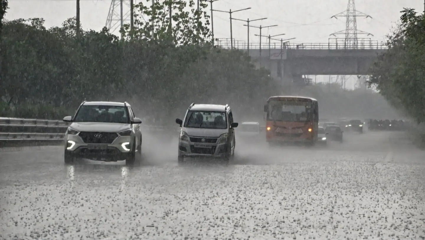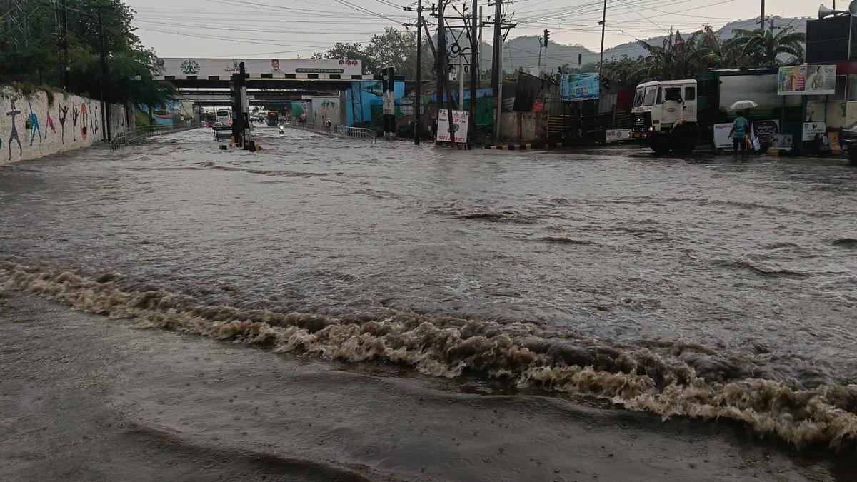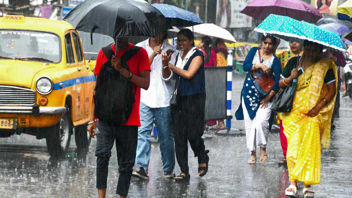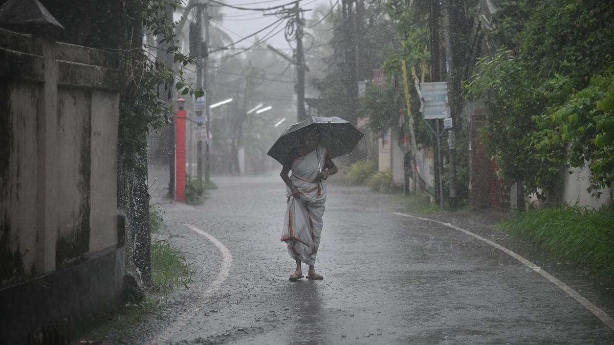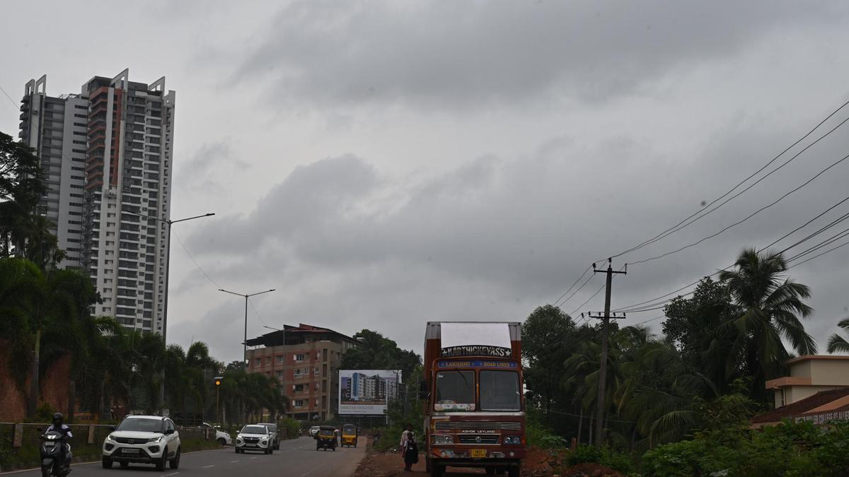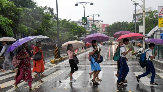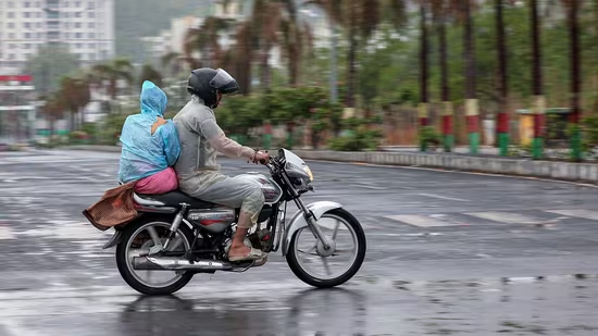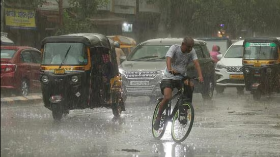
The monsoon advanced into more parts of the west-central and east-central Arabian Sea, Telangana, Maharashtra, Karnataka, and Andhra Pradesh on Monday, days after it arrived in Kerala, on June 4, three days behind schedule and five days after the India Meteorological Department (IMD)’s forecast date. The progress has been nearly normal despite the delay in monsoon onset.The monsoon arrived in Kerala on June 4, three days behind schedule. (PTI)The IMD said isolated heavy to very heavy rainfall (7-20 cm) is very likely in Kerala, Karnataka, Tamil Nadu, northeast, and sub-Himalayan West Bengal during the next seven days. Isolated extremely heavy rainfall was expected in Karnataka and Kerala on June 8 and 9. A western disturbance is likely to cause light to moderate rainfall with thunderstorms with gusty winds (50-60 kmph) and hailstorms on June 11.Private forecaster Skymet Weather vice president (climate and meteorology) Mahesh Palawat said the monsoon is showing good progress for now and will cover all of northwest India, sub-Himalayan West Bengal, parts of central India, Jharkhand, and east Bihar over the next two to three days. “We can also expect the monsoon to reach south Gujarat by June 16-17. Pre-monsoon activity will increase in the west and northwest India.”The northern limit of the monsoon was passing through Harnai, Solapur, Kalaburagi, Nandyal, Chennai, Kailashahar, Lamding, and North Lakhimpur.The maximum temperatures were above normal by 2°C to 4°C at a few places in Maharashtra, Telangana, the northeast, and isolated places in Rajasthan, Punjab, Haryana, and Delhi.
Monsoon advances into parts of Karnataka, Maharashtra; progress nearly normal
The IMD said isolated heavy to very heavy rainfall is very likely in Kerala, Karnataka, Tamil Nadu, northeast, and sub-Himalayan West Bengal | India News
247 words~1 min read