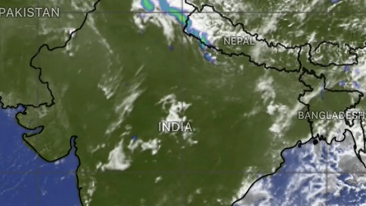
Clouds kicked up western disturbance has moved away from Rajasthan into Leh-Ladakh, Himachal Pradesh, parts of Uttarakhand, Haryana-Chandigarh and Delhi and partly into Central India on Sunday morning
| Photo Credit:
www.windy.com
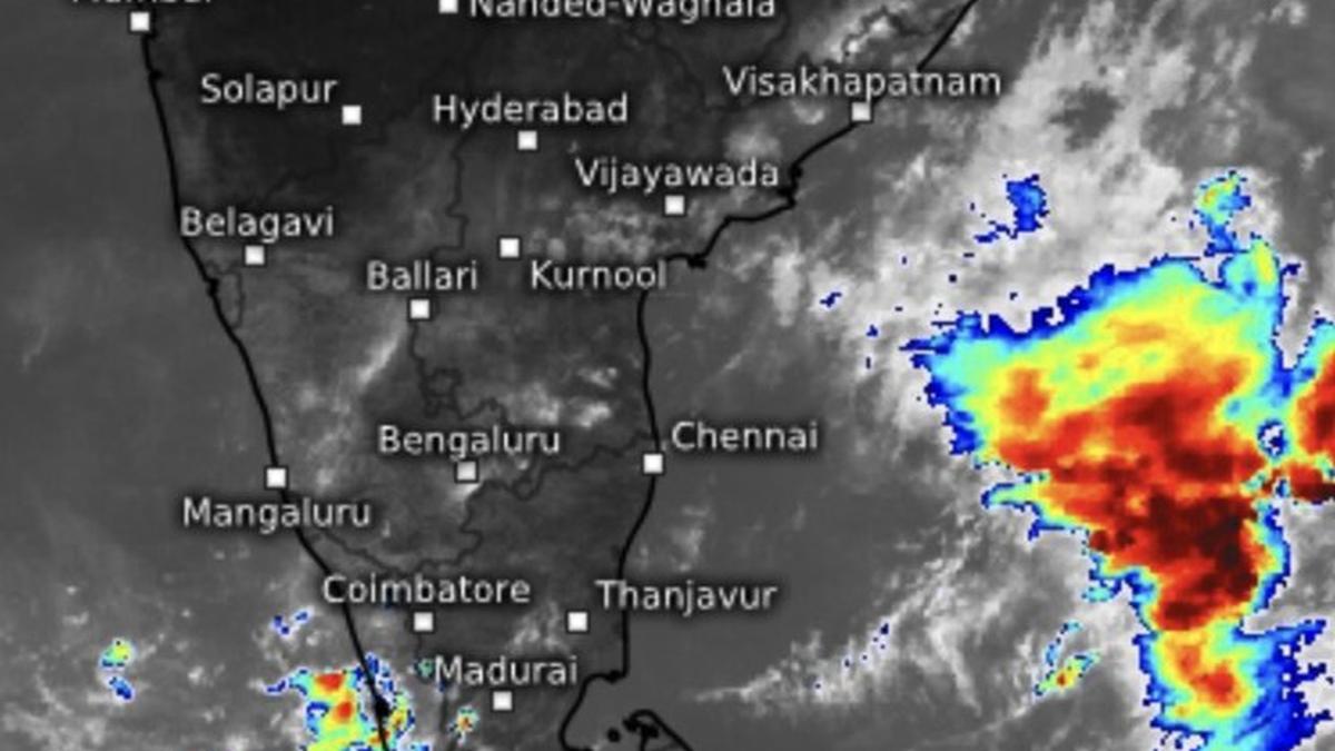
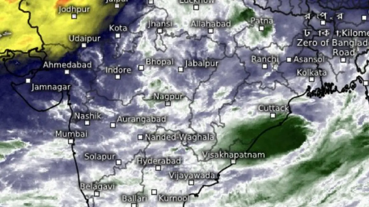
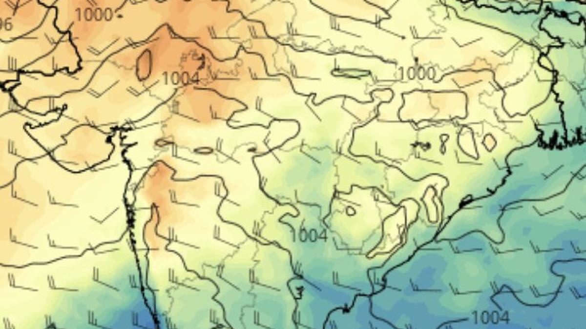
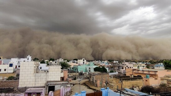
A rogue western disturbance, flourishing in the absence of an established monsoon current, unleashed severe thunderstorms and sand storms, lightning, damaging winds and hail across Rajasthan and adjoining regions.The disturbance remained unusually deep and expansive this (Sunday) morning, stretching from the Karakoram ranges through Keylang in Himachal Pradesh and southward across Haryana; Delhi; Uttar Pradesh; and Madhya Pradesh to beyond Nagpur and Raipur. Its associated north-westerly winds swept deep into Peninsular India, extending their influence into the Bay of Bengal and even the monsoon onset zone near Kerala.Cuts both waysSuch active western disturbances in late May or early June are known to impede the monsoon’s advance, as is happening this year. At other times, their interaction with an active monsoon current has triggered major flood events across North-West and Central India.The current system has effectively pressed southward into the Bay of Bengal and Kerala’s onset theatre, keeping the monsoon in abeyance. However, India Meteorological Department (IMD) suggests this may be the last significant western disturbance before monsoon onset.May be last of seriesEncouraging signals are emerging farther west from across the border. A strengthening belt of high pressure over the Middle-East is expected to build across the traditional track of western disturbances from June 3-4, blocking further incursions into India and potentially clearing the path for monsoon onset over Kerala.But the departure of the disturbance may also allow heat to rebuild over North-West and Central India. Day temperatures have fallen sharply in recent days under the influence of thunderstorms, dust storms and cool north-westerly winds accompanying the system.Cloud mass moves awayMeanwhile, the cloud mass that gathered over Lakshadweep on Saturday has drifted south-westward and is now centred over the Maldives. Another cloud cluster that lay off the Visakhapatnam coast over the Bay has fragmented, with remnants scattered across the basin.The IMD continues to indicate favourable conditions for monsoon advance into additional parts of the Arabian Sea; Lakshadweep; Kerala; Tamil Nadu and the Bay of Bengal during the next four to five days. Yet the key requirement for onset over Kerala — persistent and sufficiently strong south-westerly winds — remains elusive.Winds yet to behaveModel guidance shows these winds strengthening up to about 4.5 km above sea level during June 3-5, but they may briefly weaken and lose alignment thereafter. Near the surface, winds are not expected to attain the required strength and consistency until at least June 9, according to current short-range guidance. Updated analyses later on Sunday may provide greater clarity.Absent ‘clean slate’For the monsoon to establish itself and advance smoothly across the country, the atmospheric backdrop ideally needs to be free of criss-crossing pre-monsoon troughs and multiple cyclonic circulations. Several such features remained in place across different parts of India on Sunday morning, suggesting that an orderly monsoon onset and progress is still some distance away. Published on May 31, 2026