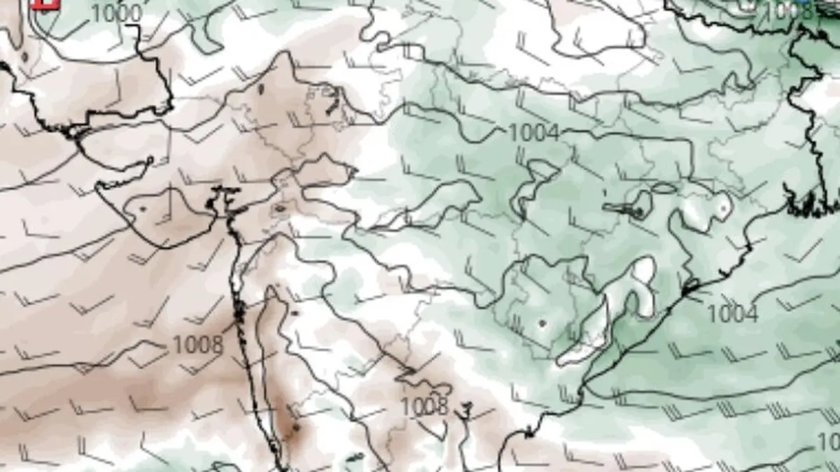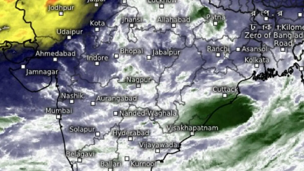
Monsoon winds have scared away dry air (in yellow) to the desert state of Rajasthan and parts of Punjab as it paused ahead of its entry into North-West India and the entire country in a fulsome lunge forward.
| Photo Credit:
www.meteologix.com/in
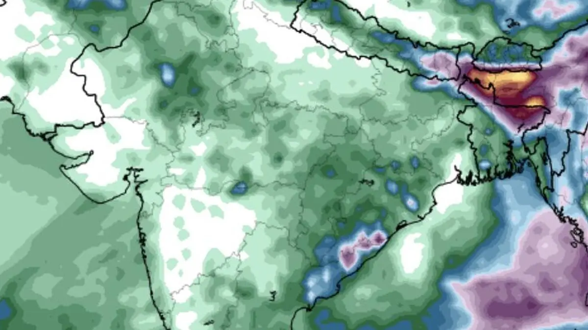
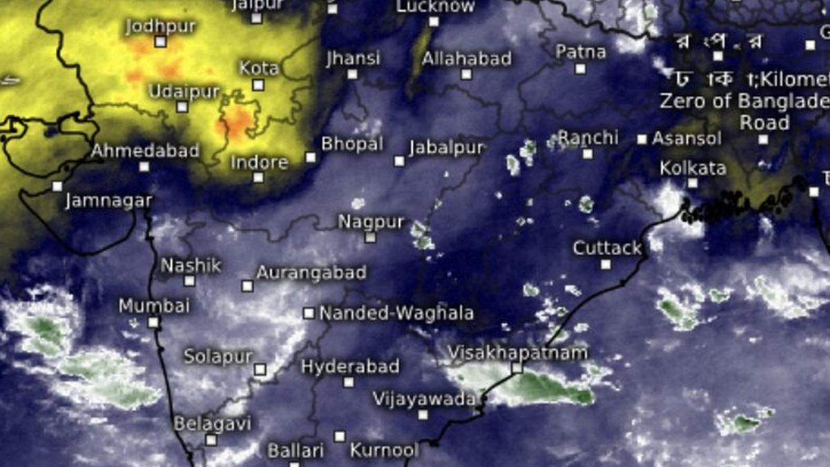
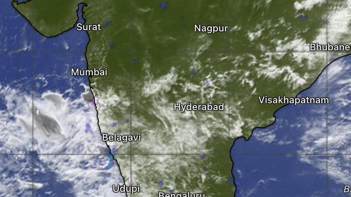
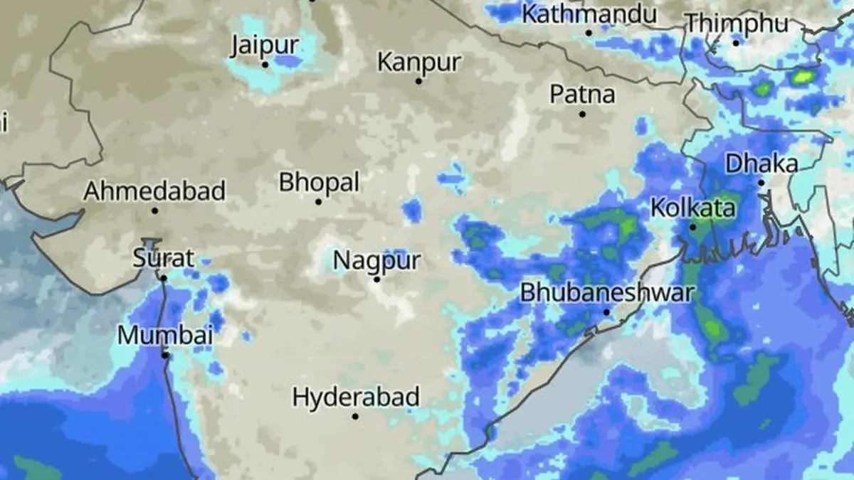
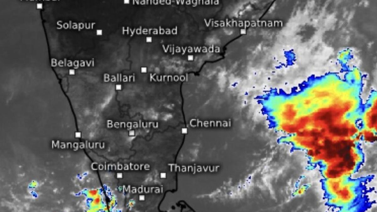
The monsoon remained stalled through the weekend but the pause is expected to end soon, with the India Meteorological Department (IMD) forecasting a fresh advance over north-west India during the next few days.Favourable conditionsConditions are favourable for the monsoon to cover more parts of Gujarat; Madhya Pradesh; and remaining areas of Chhattisgarh, Jharkhand and Bihar over the next two days, before advancing into parts of Uttar Pradesh and Uttarakhand, the national forecaster said in its morning update.During the following two to three days, the rear flanks are expected to spread further across Madhya Pradesh; Uttar Pradesh; Uttarakhand; Himachal Pradesh; Jammu and Kashmir; Ladakh; south-east Rajasthan; and the remaining parts of Gujarat. Once it covers all of Rajasthan, the monsoon would have reached the entire country.Evolving buzz in BayThe renewed advance will be aided by the development of a cyclonic circulation and a low-pressure area over the adjoining land and the Bay of Bengal. Together, these systems are expected to strengthen westerly and easterly winds, respectively, from both the Arabian Sea and the Bay, supplying the moisture needed to push the monsoon deeper into the remaining uncovered regions.The evolving pattern should also improve the distribution of rainfall across the northern half of India, while sustaining active monsoon conditions along the west coast and over parts of Central India. Rainfall over the South Peninsula, however, is likely to be relatively subdued as the main monsoon rain belt shifts northward.Eye on Pacific typhoonsForecasters are also monitoring tropical activity over the South China Sea and the western North Pacific. Strong typhoons in the region can influence the monsoon by competing for the same pool of tropical moisture, with their eventual track determining the extent of the impact.On Tuesday morning, the monsoon trough remained truncated, extending from Punjab to Bihar, through Haryana and Uttar Pradesh. The trough is expected to eventually stretch from north-west Rajasthan to the north-west Bay off the Odisha-West Bengal coast, where it would connect with a developing low-pressure area that would channel moisture inland and enhance rainfall over northern and central India.Low-pressure area soonModel guidance indicates that a low-pressure area could form over the north Bay by the weekend. The IMD on Tuesday identified a cyclonic circulation each over north Odisha and over the north Bay and adjoining south Bangladesh. The latter is expected to strengthen into a depression and move towards the north-eastern states and adjoining West Bengal during the week that follows (July 5-11).The Climate Prediction Center of the US National Weather Service, too, indicated the probability of a strong circulation developing during July 1-7. While environmental conditions favour its formation, strong vertical wind shear associated with an active monsoon may prevent the system from intensifying into a tropical cyclone. Storm towers don’t sustain when winds flow in opposite directions at different levels of the atmosphere. Published on June 30, 2026