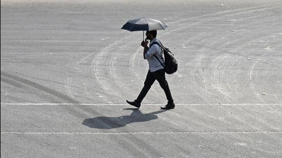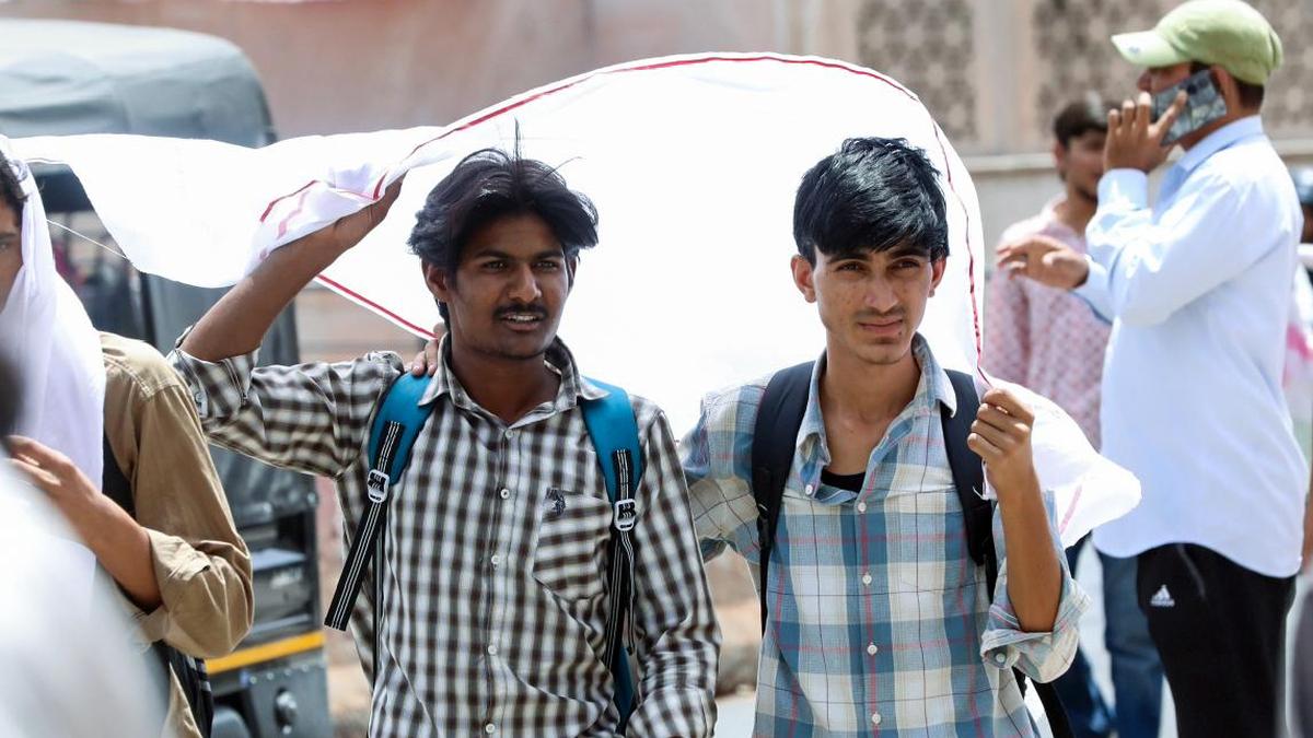
Men cover their heads with a scarf to shield themselves from the scorching heat, in Jaipur.
| Photo Credit: ANI
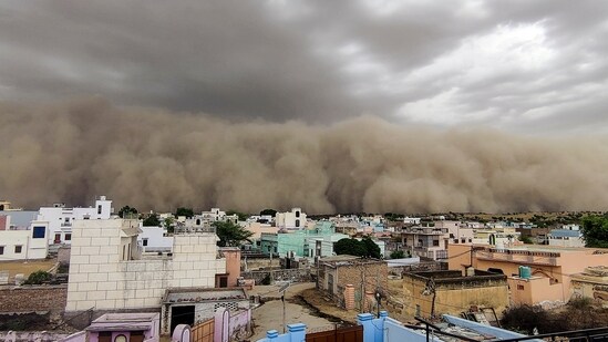
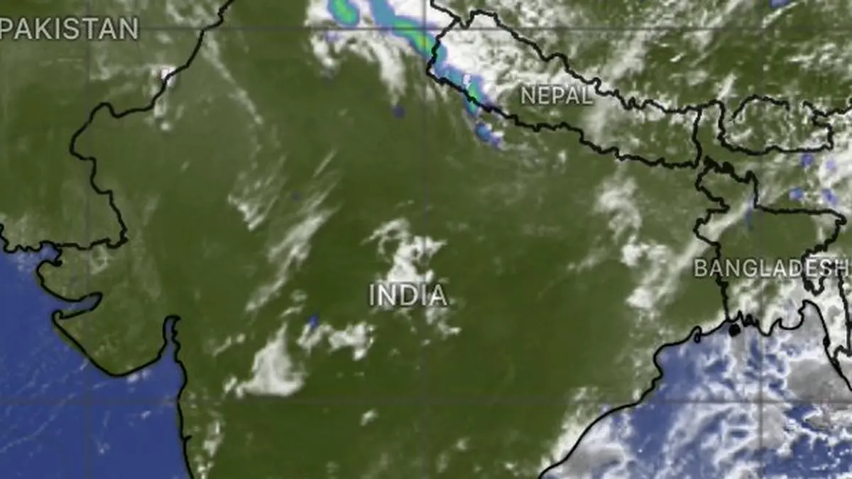
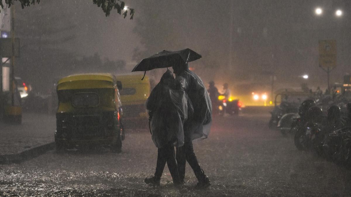
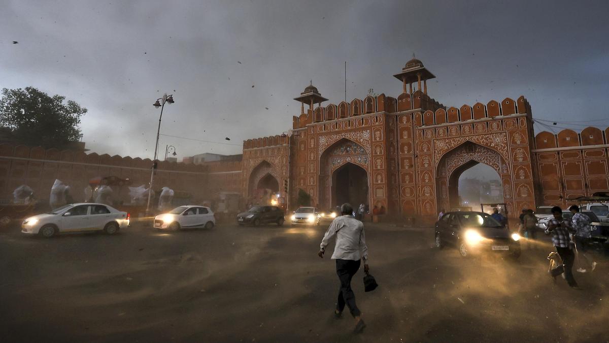
Rajasthan is likely to witness severe heatwave conditions for the next couple of days, while thunderstorm and rain activity is expected to commence in parts of the State from May 28 due to the influence of a fresh western disturbance, the Meteorological Department said.The ongoing spell of severe heatwave and warm night conditions would remain for another one to two days, it said.Maximum temperatures in most parts of the State are expected to remain between 44 and 46° Celsius, while some areas in the Bikaner and Kota divisions and the Shekhawati region may record temperatures of 46-47° Celsius.The department said western Rajasthan may witness temperatures around 48° Celsius on May 27 and 28."The intensity of thunderstorm and rain activity is expected to increase from May 30 and continue in some areas during the first week of June," it added.According to the Met office forecast, the maximum impact of the western disturbance is likely between May 29 and 31, when parts of Jaipur, Bharatpur, Kota, Ajmer, Udaipur, Jodhpur and Bikaner divisions witness strong dust storms, winds blowing at speeds of 60-70 kmph and rainfall at isolated places.Temperatures are likely to fall by 2-3° Celsius from May 29 due to thunderstorm and rain activity, bringing relief from heatwave conditions from May 29-30 onwards, it said.The State remained in the grip of severe heat on Wednesday (May 27), with Sri Ganganagar recording the highest maximum temperature in the state at 48.2° Celsius. Published - May 28, 2026 04:32 pm IST