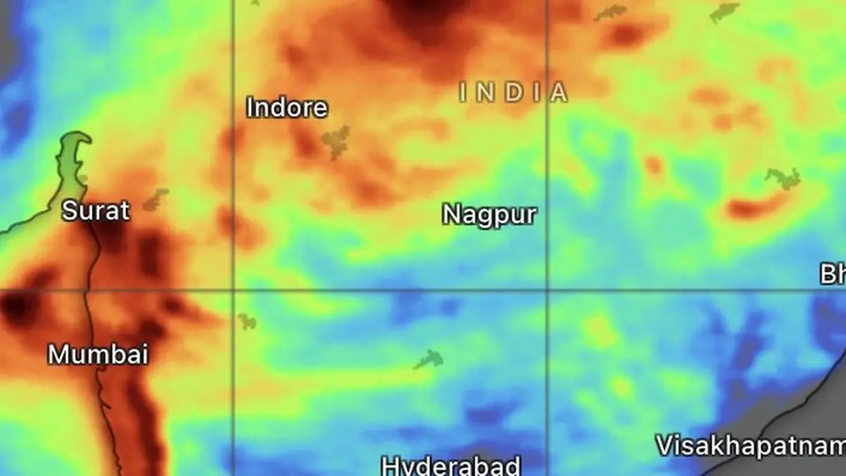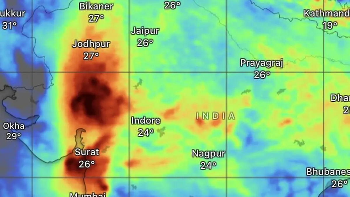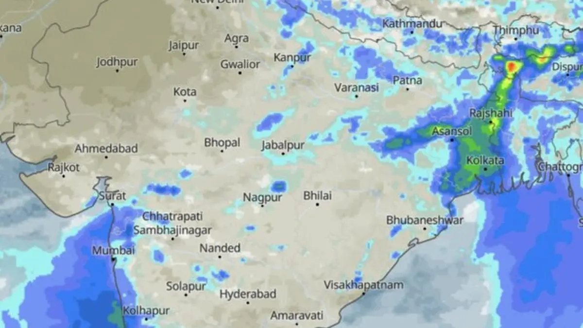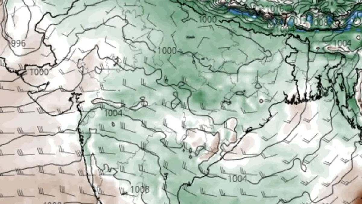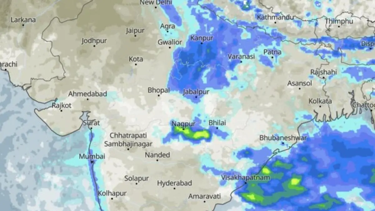
The Bay of Bengal continues to be heavily clouded, sustaining rains over parts of East and North-East India and the Andhra Pradesh-Odisha coast on Saturday morning.
| Photo Credit:
www.meteoblue.com
The monsoon is showing little inclination to loosen its grip on the country’s eastern and central belts, with a rain-driving low-pressure area persisting over north-east Madhya Pradesh and a fresh round of wet weather taking shape across East and North-East. IndiaRain deficit upRainfall figures for August, normally the second rainiest month, until Friday have been on the lower side, under the larger El Nino impact. The country as a whole has run up a rain deficit of 15.2 per cent, with South Peninsula logging in the worst at 23.1 per cent, followed by Central India (16.5 per cent); East and North-East India (13.5 per cent); and North-West India (9.7 per cent). Overall figures for the season as a whole (June to August) are not inspiring either with all-India deficit inching up to 13.2 per cent. No dominant systemFor now, the monsoon’s story is one of multiple weather systems converging rather than a single dominant one. The existing low over north-east Madhya Pradesh is keeping the rain engine running; the monsoon trough is supplying the track; and a bevy of cyclonic circulations appear to be preparing for the next act, but with an eye mainly to the east.Satellite picturesSatellite imagery on Saturday morning showed the rain footprint spreading from Saharanpur, Aligarh, Lucknow, Kanpur, Prayagraj and Varanasi in Uttar Pradesh to New Delhi; Jabalpur in Madhya Pradesh; and Patna in Bihar. Another band of rain clouds arched across Bhopal and Bhilai, while a separate, vigorous belt stretched along the Andhra Pradesh–Odisha coast, from Visakhapatnam to Brahmapur and Bhubaneswar.Bay stays clouded The Bay, meanwhile, remained heavily clouded, particularly across its eastern two-thirds, where a clutch of cyclonic circulations continues to feed moisture into the monsoon system. Adding strength to the set-up is the monsoon trough, which runs from Amritsar through Dehradun, Lucknow and the centre of the existing ‘low,’ onward to Ranchi before dipping into the Bay. This leaves the trough favourably placed for the possible formation of another ‘low’, a development already flagged by the India Meteorological Department (IMD) in its extended-range outlook.Cyclonic circulations Above this broad canvas, several cyclonic circulations are positioned almost like links in a chain across central Myanmar; north Haryana; south West Bengal and adjoining Jharkhand; south-west Madhya Pradesh; the north Bay and adjoining Bangladesh; the west-central and adjoining north-west Bay and north Andhra Pradesh–south Odisha coasts.Next ‘low’ soonThese circulations are not acting in isolation. They are interacting, feeding moisture and instability into the monsoon circulation. The crucial development to watch is the coupling of the circulations over north Bay and Bangladesh and over the north Andhra Pradesh–south Odisha coast. If this combination intensifies, it could provide the spark for the next ‘low’, with its weather influence likely to favour eastern and north-eastern India.Prolonged wet spellThe north-east is, therefore, poised to remain firmly on the monsoon radar. The IMD expects isolated heavy rainfall over Arunachal Pradesh for five days from Sunday, over Assam and Meghalaya for six days, and over Nagaland, Manipur, Mizoram and Tripura for three days.The heavier bursts will be concentrated in pockets. The hills of West Bengal and Sikkim could receive isolated heavy rain for five days. West Bengal may see heavy rain on Monday and Tuesday, Jharkhand on Sunday, and Bihar during the four days beginning Saturday. Odisha is likely to see heavy rain today and Sunday.South stays wetFarther south, the monsoon remains active but unevenly distributed. Coastal Andhra Pradesh and Yanam; Rayalaseema; Telangana; North Interior Karnataka; South Interior Karnataka; and Tamil Nadu, Puducherry and Karaikal are likely to receive isolated to scattered rain during the next six days.West coast rainsThe west coast, however, has a more persistent story. Coastal Karnataka, Kerala and Mahe, and Lakshadweep are expected to receive fairly widespread to widespread rainfall for the next seven days. Heavy rain is likely to punctuate this spell, particularly over Tamil Nadu, Puducherry and Karaikal on Monday and Tuesday; Kerala and Mahe for three days from Sunday; and coastal Karnataka and North Interior Karnataka on Sunday and Monday.Central India under cloudCentral India, too, will not escape the monsoon’s continuing activity. West Madhya Pradesh is likely to receive fairly widespread to widespread rainfall for three days from Saturday, while East Madhya Pradesh could remain wet for five days. Vidarbha is expected to join the wet zone from Sunday for three days, and Chhattisgarh could see widespread rainfall for six days from Saturday.West, North IndiaIn the west, Konkan and Goa are likely to remain under fairly widespread to widespread rain for six days, while Madhya Maharashtra may receive a similar spell on Wednesday. The northern plains and the western Himalayan region, meanwhile, will see a mix of monsoon showers and isolated heavy spells.Jammu and Kashmir–Ladakh, East Uttar Pradesh, Haryana, Chandigarh and Delhi, Himachal Pradesh and Punjab face the possibility of isolated heavy rainfall on Saturday. Uttarakhand is the exception in duration, with isolated heavy rain expected to persist for as long as six days. Published on August 22, 2026