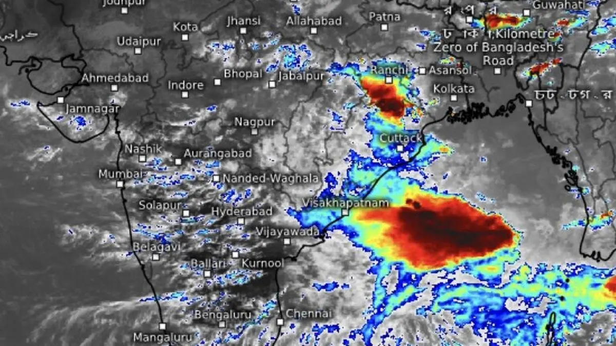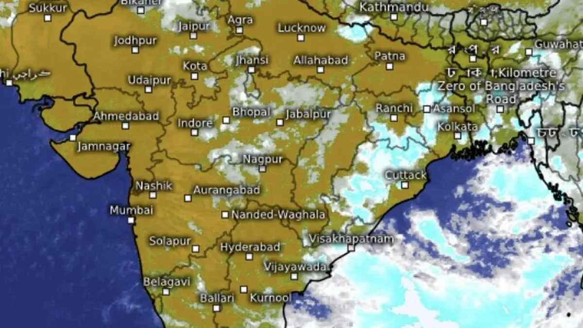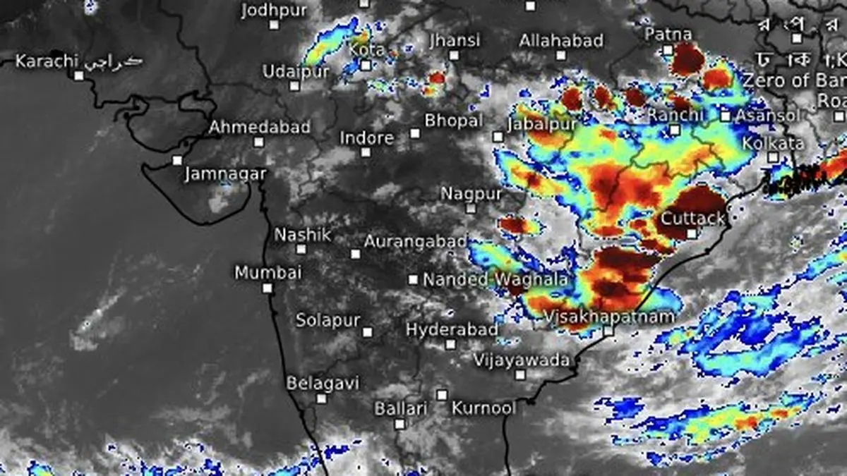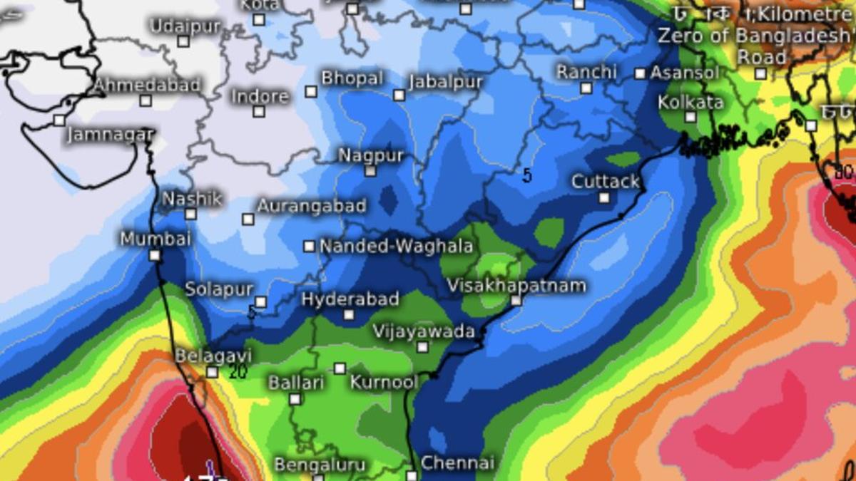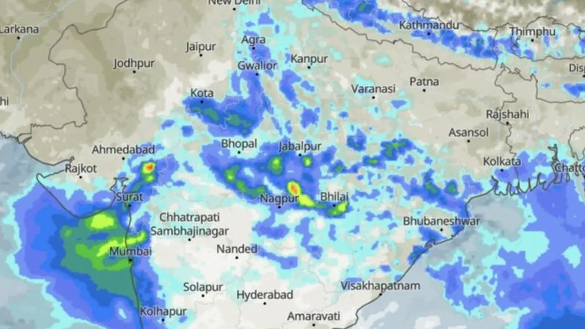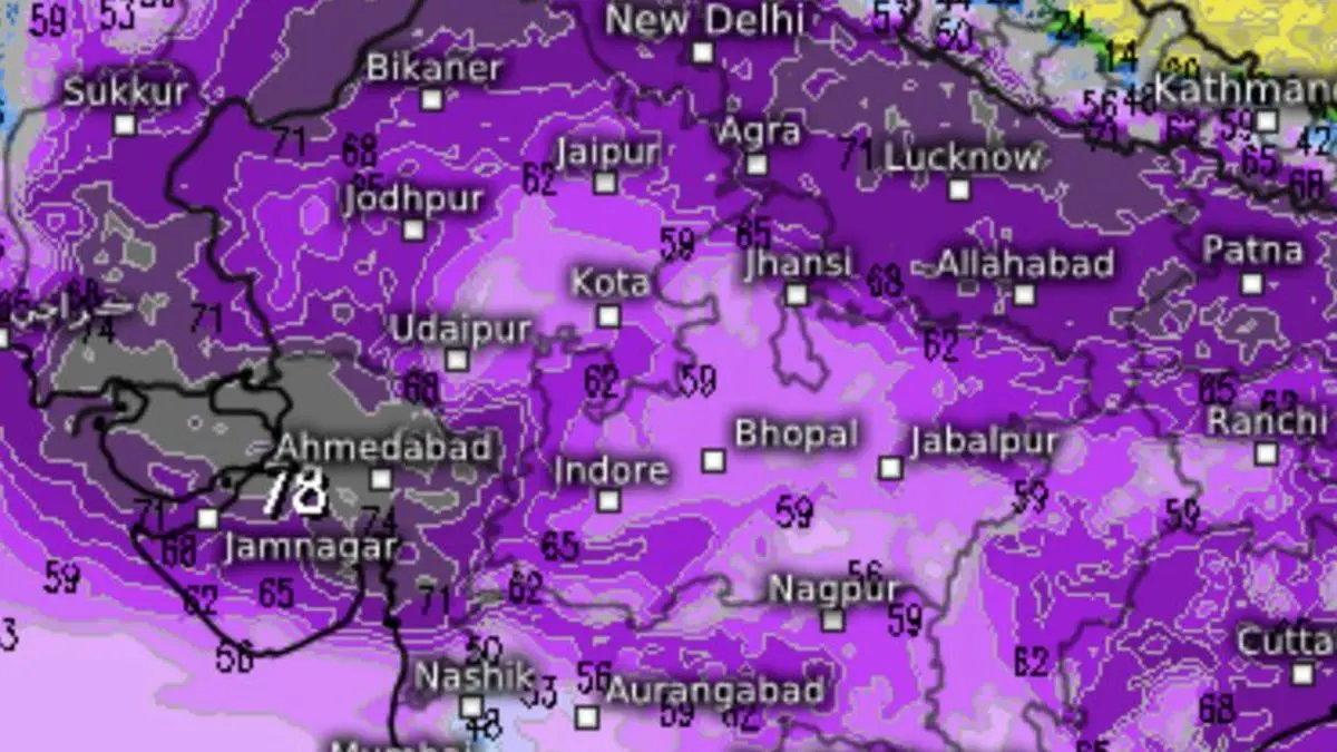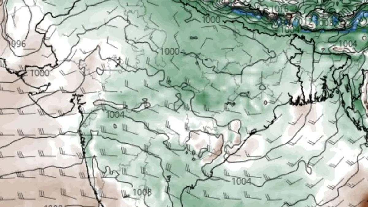
Graphic shows projected growth of monsoon moisture footprint over most parts of the country except the South Peninsula by Sunday.
| Photo Credit:
www.tropicaltidbits.com
The monsoon is gaining strength with a low-pressure area over north-west Bay of Bengal on course to intensify a round, setting the stage for widespread heavy rain across parts of the country over the coming week.India Meteorological Department (IMD) said the system, centred over the north-west Bay and the adjoining north Odisha-West Bengal coast on Wednesday morning, is expected to strengthen into a well-marked low-pressure area, before moving inland across north Odisha and West Bengal during next two days.Extended stay likely Like its predecessor that lingered unusually long, unleashing repeated spells of flooding rain over Central and West India, the current system also appears set for an extended stay, promising a sustained revival of the monsoon after its recent weak phase. It has already made its presence felt.During the 24 hours ending Wednesday morning, very heavy rainfall (12-20 cm) lashed parts of Odisha and Tripura, while heavy rain (7-11 cm) soaked Haryana, Uttarakhand, East Uttar Pradesh, Jharkhand, Bihar, Assam and Arunachal Pradesh.Monsoon troughA key driver of the renewed activity is the monsoon trough, seasonal rain-bearing axis that channels moisture inland from the Bay. On Wednesday, it stretched from Jammu through Dehradun, Shahjahanpur, Basti, Patna, Bankura and the centre of the low-pressure area, before dipping into the east-central Bay, enabling the system to continuously draw fresh moisture from the sea.Western disturbancesFurther boosting prospects for rain is a western disturbance positioned as a cyclonic circulation over north Pakistan and adjoining Jammu. Another disturbance is likely to affect north-west India by Sunday. Interaction between moisture-laden easterly monsoon winds and these westerly systems has historically triggered intense rainfall episodes across the Himalayan foothills and adjoining plains.North-West India rainReflecting that possibility, the IMD has forecast isolated heavy rainfall over the hills-bound Uttarakhand during the next four days, with the intensity likely to increase to very heavy rainfall over the other hill State of Himachal Pradesh as well as Uttarakhand on Monday and Tuesday next. Heavy rain is also forecast over Jammu and Kashmir-Ladakh and West Uttar Pradesh for three days from Sunday.The IMD said Himachal Pradesh is expected to receive heavy showers on Saturday and Sunday, while Punjab, Haryana, Chandigarh and Delhi could see heavy rainfall on Monday and Tuesday. East Uttar Pradesh is likely to remain under heavy rain for five days beginning Saturday.Central, West IndiaHeavy rain will spread into parts of Central India. East Madhya Pradesh is likely to receive heavy rainfall on Saturday and Sunday, while Chhattisgarh is expected to witness heavy showers on Thursday and Friday. Along the West Coast, fairly widespread to widespread rainfall is forecast over Konkan and Goa for the next six days.South India, too, is set for a wetter spell. Fairly widespread rainfall is expected over Kerala and Mahe for five days from Friday, coastal Karnataka for four days from Saturday, and Lakshadweep for three days from Saturday.Mixed outlookBeyond the immediate revival, however, the broader monsoon outlook remains mixed. The Climate Prediction Center of the US National Weather Service noted that although the monsoon reached peak coverage in early July, below-normal rainfall is favoured in the short term under the influence of strengthening El Niño. The US agency also expects the Madden-Julian Oscillation (MJO), a tropical atmospheric wave that often boosts monsoon rainfall, to weaken and become increasingly disorganised as it moves into the Indian Ocean by early August, potentially limiting rainfall enhancement later in the season. Published on July 15, 2026