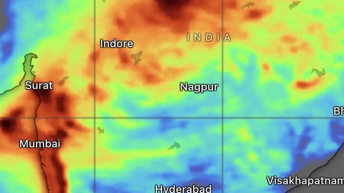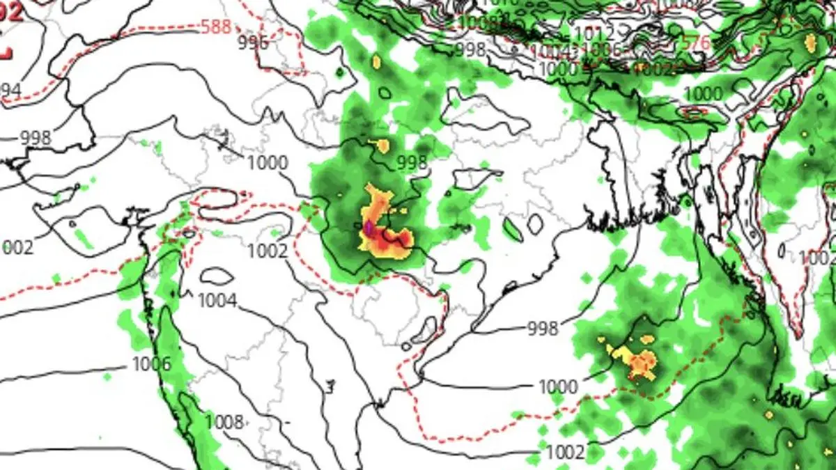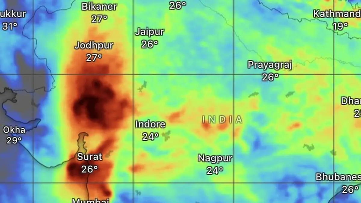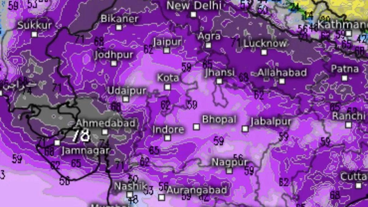
Outlook by the European Centre for Medium-Range Weather Forecasts until the weekend signals very heavy to extreme heavy rain (deep purple to black) for North-West India, especially the northern reaches of Gujarat.
| Photo Credit:
www.meteologix.com/in
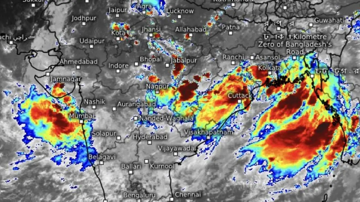
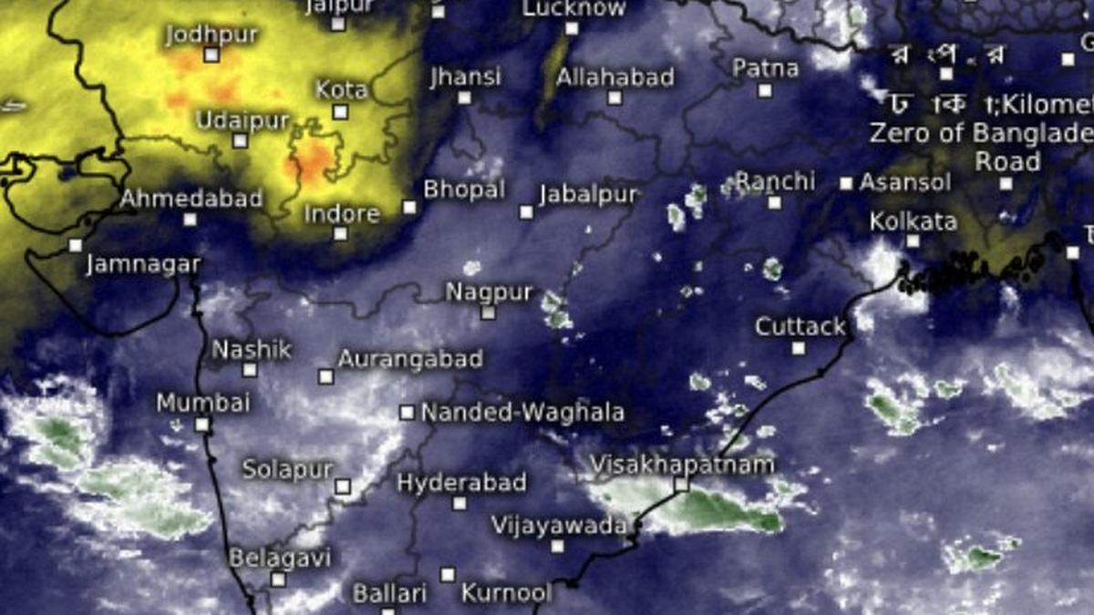
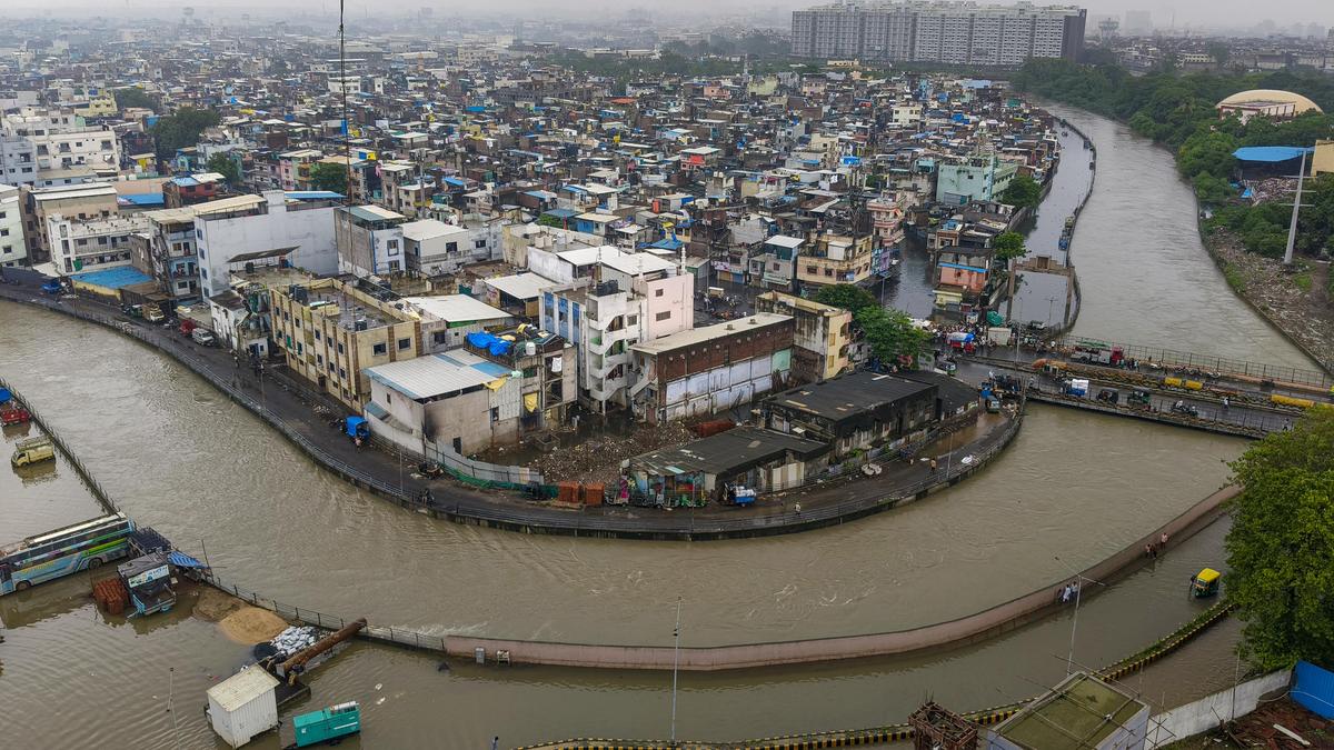
The monsoon may go to upend forecasts of a July fade-out, staging an emphatic comeback on the back of a relentless succession of Bay of Bengal low-pressure systems, almost recreating the season’s peak wet spell earlier this month.The clearest sign of the revival came on Monday when a low-pressure area over the north-west Bay of Bengal intensified dramatically within two to three days into a deep depression, a rarity during the monsoon season and just one rung below a tropical cyclone. The strengthening flies in the face of expectations that a building El Niño would sap the monsoon’s vigour through July.Renewed burstThe renewed burst of activity has sharply improved the national rainfall picture. Cumulative rainfall across India until Sunday stood at a deficit of 15 per cent, with Central India almost back to normal at minus 3 per cent and North-West India at minus 8 per cent. East and North-East India, after weeks of concern, improved to a deficit of 29 per cent, matching that of the South Peninsula which lagged with the same figure. Under the India Meteorological Department (IMD) norms, rainfall between 19 per cent above normal and 19 per cent below normal is classified as “normal”.Assam floods claim 68But the resurgent monsoon also triggered floods and related havoc in Assam. The Assam State Disaster Management Authority said the floods have caused severe devastation, resulting in 68 reported casualties, over 6.5 lakh affected people, and widespread property and agricultural damage across multiple districts.On Monday morning, the deep depression lay not too far to south-west over north-west Bay and the adjoining West Bengal-north Odisha coast, about 30 km south of Sagar Island; 70 km east-southeast of Digha; 90 km south of Diamond Harbour; 110 km south-southwest of Canning; and 120 km east-southeast of Balasore.Expected landfallThe IMD said the system would move north-northwest and cross the West Bengal-North Odisha coast between Balasore and Canning by Monday afternoon before moving inland, where it is expected to keep feeding widespread rainfall across large parts of the country.The system has already unleashed extremely heavy rain over Madhya Maharashtra during the 24 hours ending Monday morning, while Odisha received heavy to very heavy rainfall. Heavy rain also lashed the hill districts of West Bengal and Sikkim, Himachal Pradesh, Rajasthan, east Gujarat, Konkan and Goa, Chhattisgarh, Telangana, coastal Andhra Pradesh and Yanam, and Coastal Karnataka.Unusual stormSuch an intense monsoon depression is unusual because strong vertical wind shear - abrupt changes in wind speed or direction with height during the season - normally prevents monsoon systems from growing beyond ordinary depressions. The shear tilts and disrupts the storm’s vertical structure, effectively shearing off its convective towers before they can mature into stronger systems.Monsoon troughThe monsoon’s all-important trough stretched from Bikaner through Gwalior, Varanasi and Jamshedpur to the centre of the deep depression before dipping into the north-east Bay. An upper-air cyclonic circulation persisted over south-west Rajasthan, helping anchor the monsoon flow, while a secondary trough linked it with a circulation around the deep depression across Madhya Pradesh, Chhattisgarh and Jharkhand.Together, these features are expected to sustain fairly widespread to widespread rainfall, with heavy to very heavy falls at isolated places across Central, West, East and North-East India over the next few days. North-West India is also likely to join the wet spell, while much of the South Peninsula is expected to remain outside the main zone of monsoon activity.Published on July 27, 2026