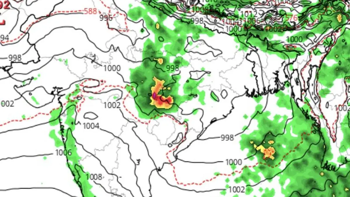
Ongoing heavy monsoon may last until July 10 and start to retreat later to west coast, parts of North-West India and Himalayan foothills, says European Centre for Medium-Range Weather Forecasts. Map shows (in green) projected rain belt position around July 15.
| Photo Credit:
www.tropicaltidbits.com
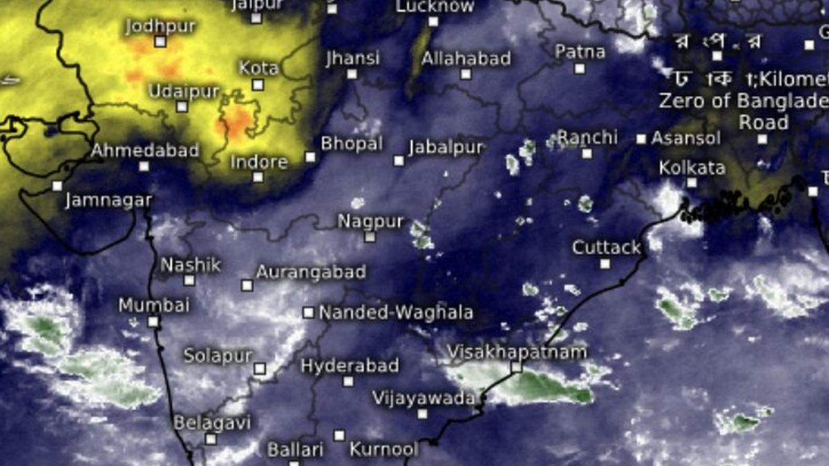
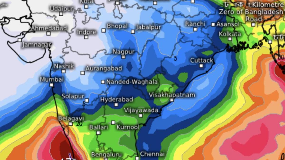
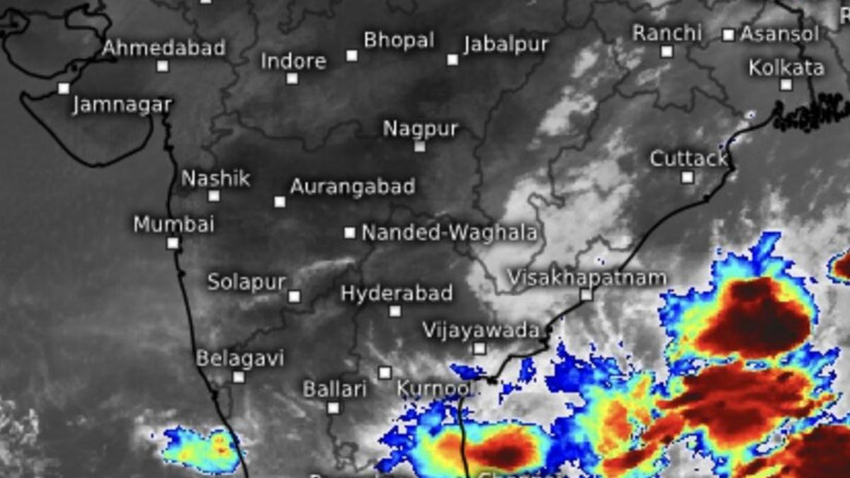
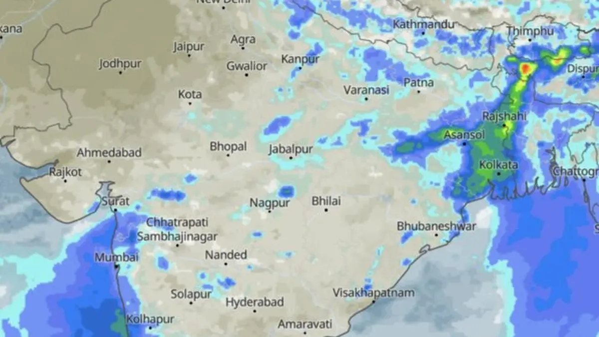
The monsoon unleashed its most vigorous spell across West and Central India on Friday with India Meteorological Department (IMD) warning that even more rain, with isolated extremely heavy falls, may pound Konkan, Madhya Maharashtra, Saurashtra and Kutch through next four days and east Gujarat for next two.The rain offensive is being driven by a strengthening low-pressure area over the north-west Bay of Bengal, even as monsoon entrenched over Gujarat, Rajasthan and Haryana and completed a sweep across Madhya Pradesh.Strengthening ‘low’The 24 hours ending Friday morning saw extremely heavy rainfall (21 cm or above) over Odisha, the IMD said. Very heavy rain (12-20 cm) lashed the Andaman and Nicobar Islands, Madhya Pradesh, Chhattisgarh, Konkan, Madhya Maharashtra and Vidarbha, while it was heavy over Jammu and Kashmir, Uttar Pradesh, East Rajasthan, Coastal and South Interior Karnataka, Assam and Nagaland.Monsoon northern limitThe monsoon’s northern limit now passes through Jamnagar, Udaipur, Ajmer, Jhunjhunu, Hisar and Bathinda. The IMD said conditions remain favourable for its further advance into remaining parts of Haryana and Punjab, more areas of Gujarat and Rajasthan over the next four to five days.The Bay ‘low’ may intensify into a more marked system within two days after moving fully over the sea, where warmer waters will fuel its strength. The seasonal monsoon trough stretches from north-west Rajasthan to the centre of the system across north Madhya Pradesh, north Chhattisgarh and Odisha, channelling moisture inland.Shift in mood?The offshore trough along the west coast has meanwhile weakened and is now confined to the Maharashtra-Karnataka coast. Beyond the current deluge, forecasts hint at a shift in the monsoon’s mood. The US National Weather Service’s Climate Prediction Centre expects below-normal rainfall over much of the northern Indian Ocean and southern India during July 8-21. Rain may easeIMD’s numerical models indicate the heavy rain belt could migrate to Himalayan foothills during this period, signalling a possible break-monsoon phase, when rainfall retreats from much of Central and North-West India to these foothills, parts of North-East India, and sections of the east coast, including Tamil Nadu.Dry over North-WestAnother model suggests the ongoing wet spell could persist until July 11 before easing over North-West India, Madhya Maharashtra and Marathwada. By late July, a fresh dry spell may spread across North-West India, Gujarat and west Madhya Pradesh, while above-normal rainfall remains largely confined to the southern peninsula.Central India, east Uttar Pradesh, Bihar, West Bengal and the North-East may receive near-normal rainfall during this phase. Early indications for August suggest the dry pattern may continue over North-West and parts of Central India, while eastern and southern India are likely to see near-normal rainfall.Published on July 3, 2026