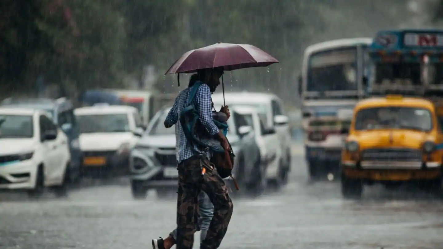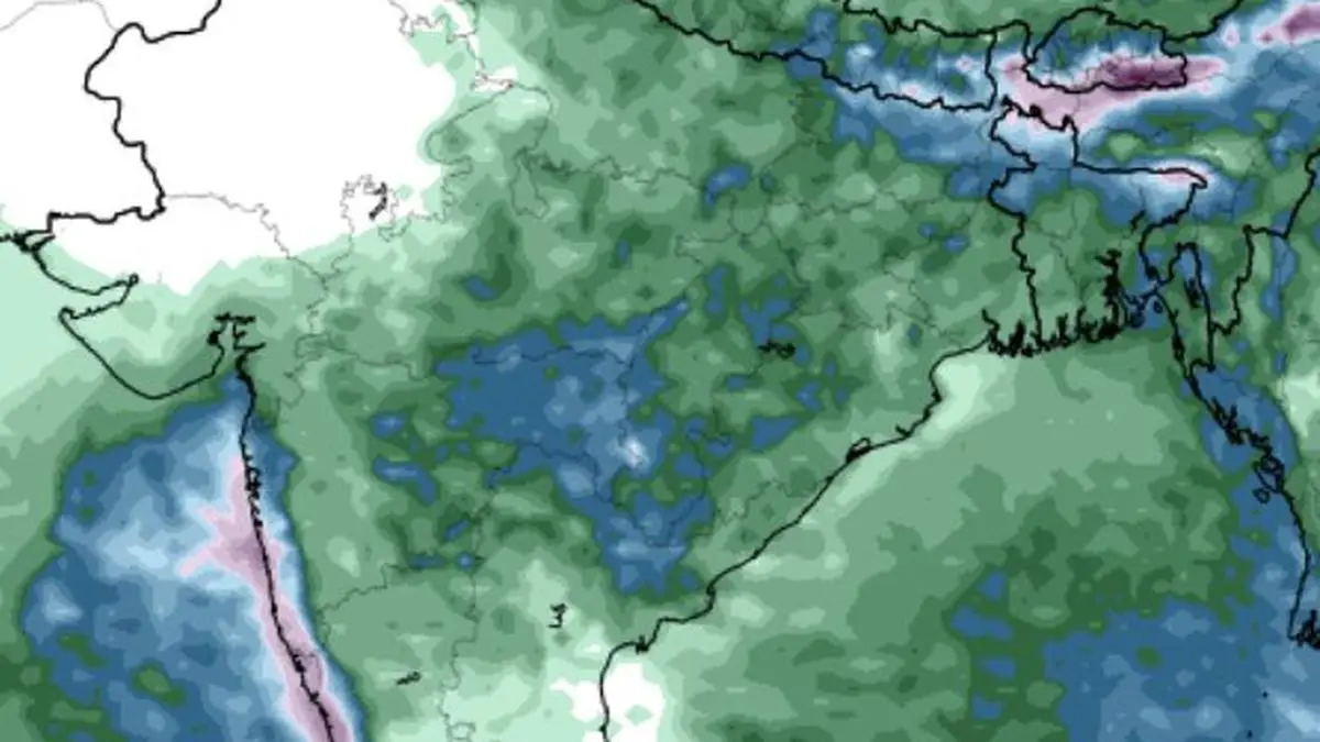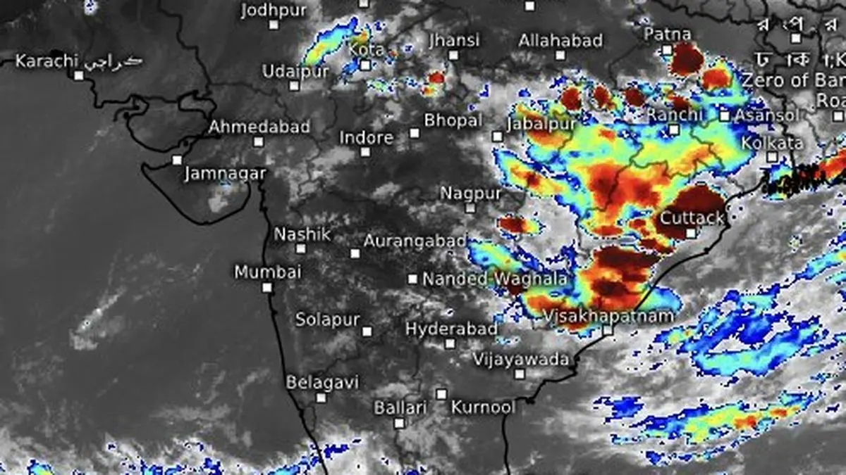
Moderate to heavy (in blue shade) continued to lash most of the west coast and parts of East and Central India on Monday evening even as the larger monsoon system remained stalled for a second time.
| Photo Credit:
www.meteoblue.com
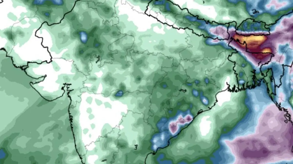
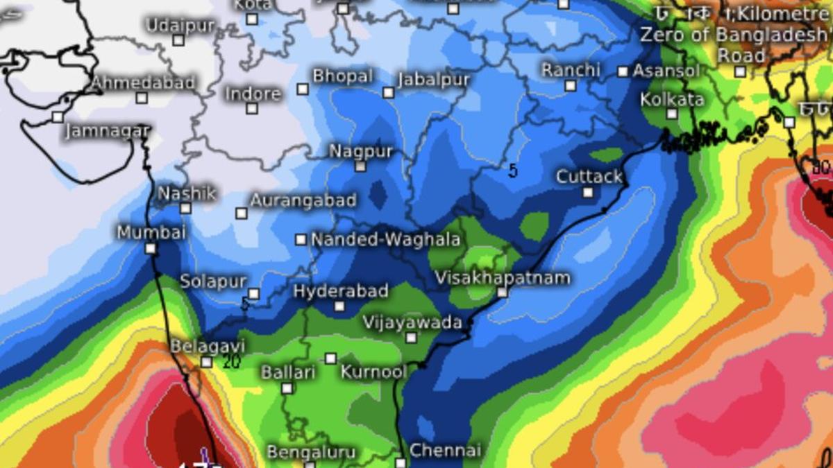
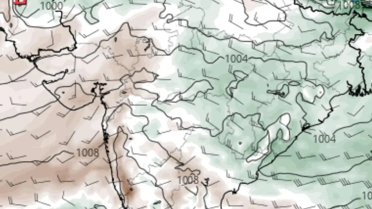
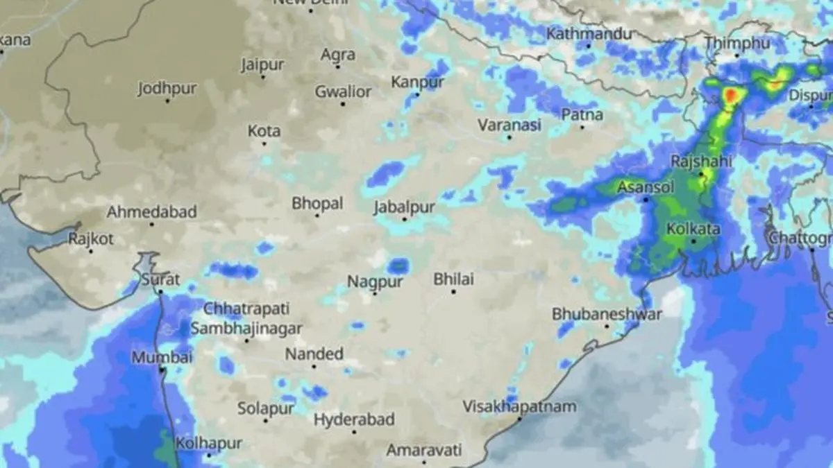
Rainfall deficit over Central India, the worst-hit region so far, narrowed modestly to 56 per cent below normal by Monday, but East and North-East India (43 per cent below normal) and the South Peninsula (31 per cent below normal) saw little improvement as the monsoon briefly stalled, though briefly, for a second time.North-West India fared relatively better, with the deficit easing to 29 per cent, aided by early surpluses over Rajasthan delivered by western disturbances (not monsoonal). But Punjab; Haryana; Himachal Pradesh; Uttarakhand; Delhi; Chandigarh; and Uttar Pradesh continued to report varying rainfall shortages. Overnight heavy rainHeavy to very heavy rain, with isolated extremely heavy spells, battered parts of the North-East and the Konkan-Goa coast, including Mumbai, where the monsoon has already reached, during the 24 hours ending Monday. Its northern limit remained unchanged from the weekend, passing through Surat in south Gujarat; Indore and Mandla in Madhya Pradesh; Daltonganj in Jharkhand; and Motihari in Bihar. But the current lull could prove to be the calm before another surge over Central and West India later this week.Calm before next spellThe first causative trigger is likely to emerge from the ongoing intense activity over North-East India. This may spawn a cyclonic circulation over North-West and adjoining Central India that will move westwards. Consequently, parts of west Madhya Pradesh, south Gujarat and Konkan and Goa - including the Indore, Surat and Mumbai regions – could witness some of the season’s heaviest rainfall during the opening week of July.The second feature to watch is a developing low-pressure area over the north-west Bay of Bengal off the Odisha-West Bengal coast. A potentially third, and stronger, system is projected to move in later from the Myanmar coast. The eventual track of these systems will be crucial. Track to monitorIf they move west-northwest across Central India, they will keep the Arabian Sea and Bay branches of the monsoon working in tandem, sustaining widespread rainfall across many parts of the monsoon core region. However, a track along the Himalayan foothills could trigger ‘break monsoon’ conditions, confining rainfall largely to the Himalayan foothills and parts of the east coast, including Odisha, Andhra Pradesh and Tamil Nadu, while much of the west coast and the rest of mainland India turn relatively dry.Early July boostThe latest outlook from the European Centre for Medium-Range Weather Forecasts (ECMWF) broadly supports the prospect of an early-July monsoon boost, but continues to indicate a third lull from mid-July. During this phase, much of north-west, west and central India, along with most of the peninsula, could receive below-normal rainfall, although Tamil Nadu may buck the trend to varying degrees. Rainfall is projected to revive again during July 20-27 over parts of North-West India and across Tamil Nadu and adjoining south Kerala.Published on June 29, 2026