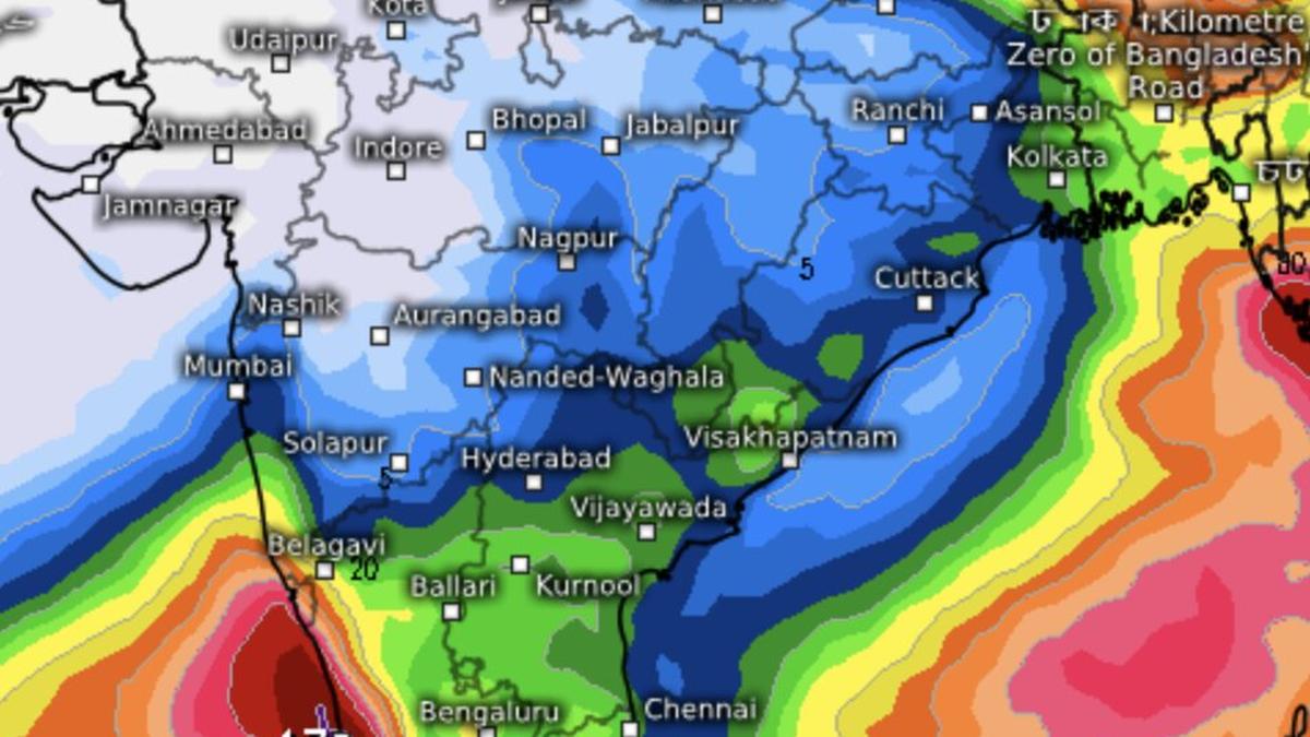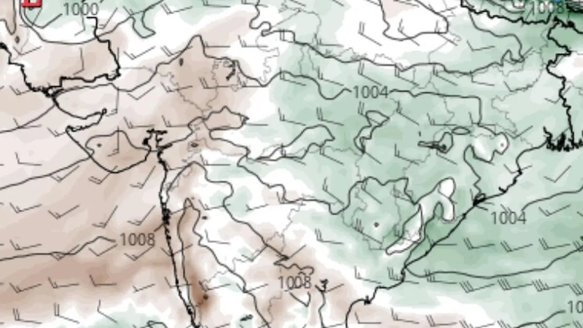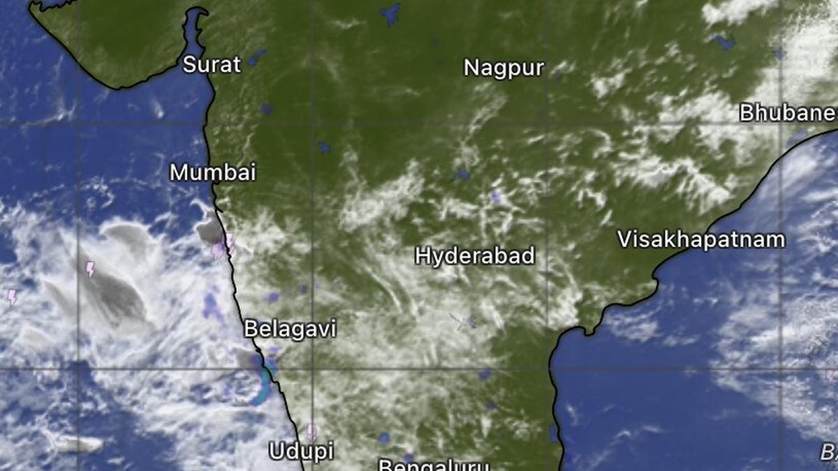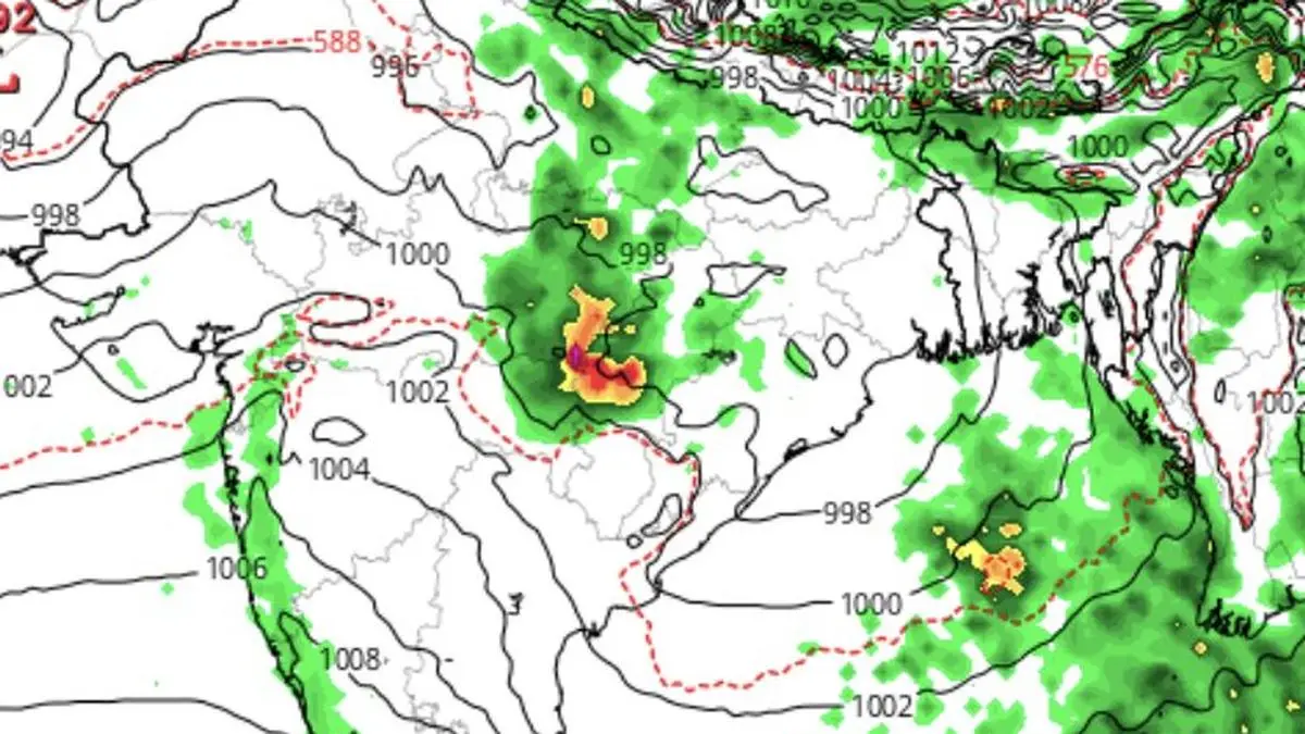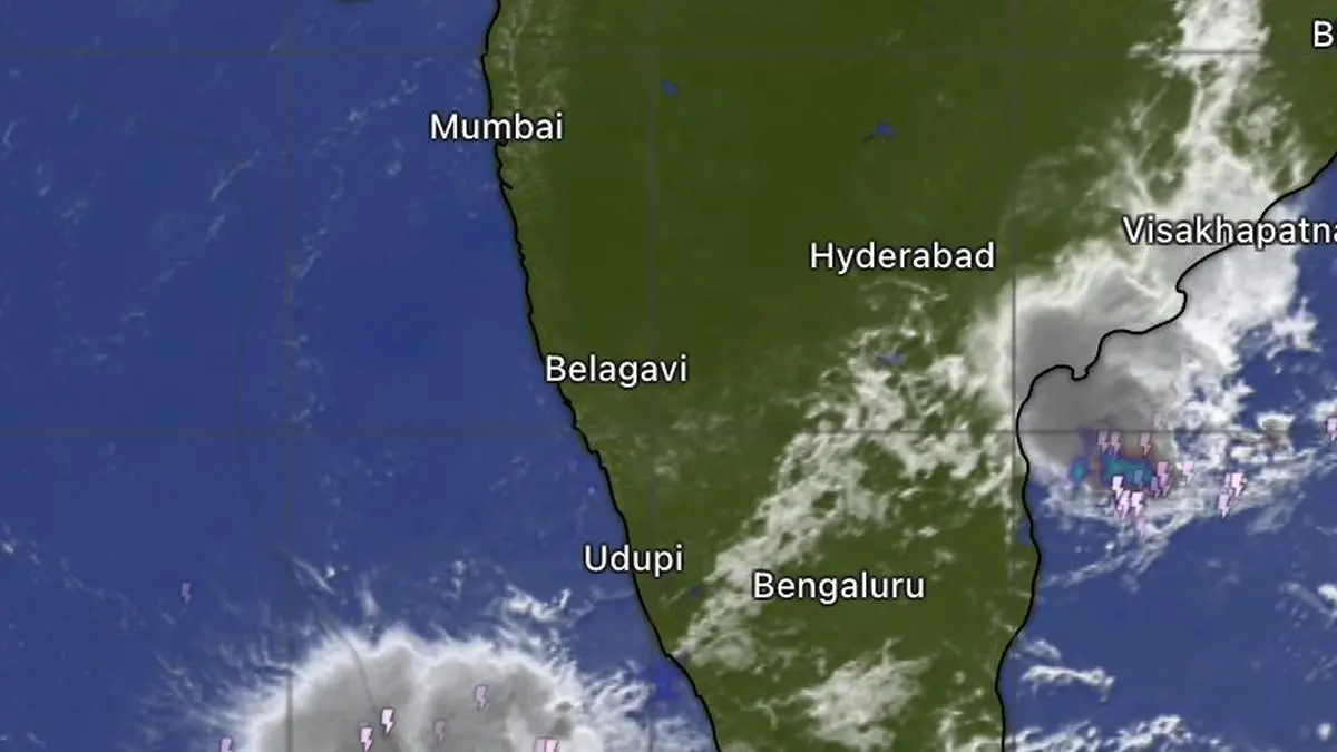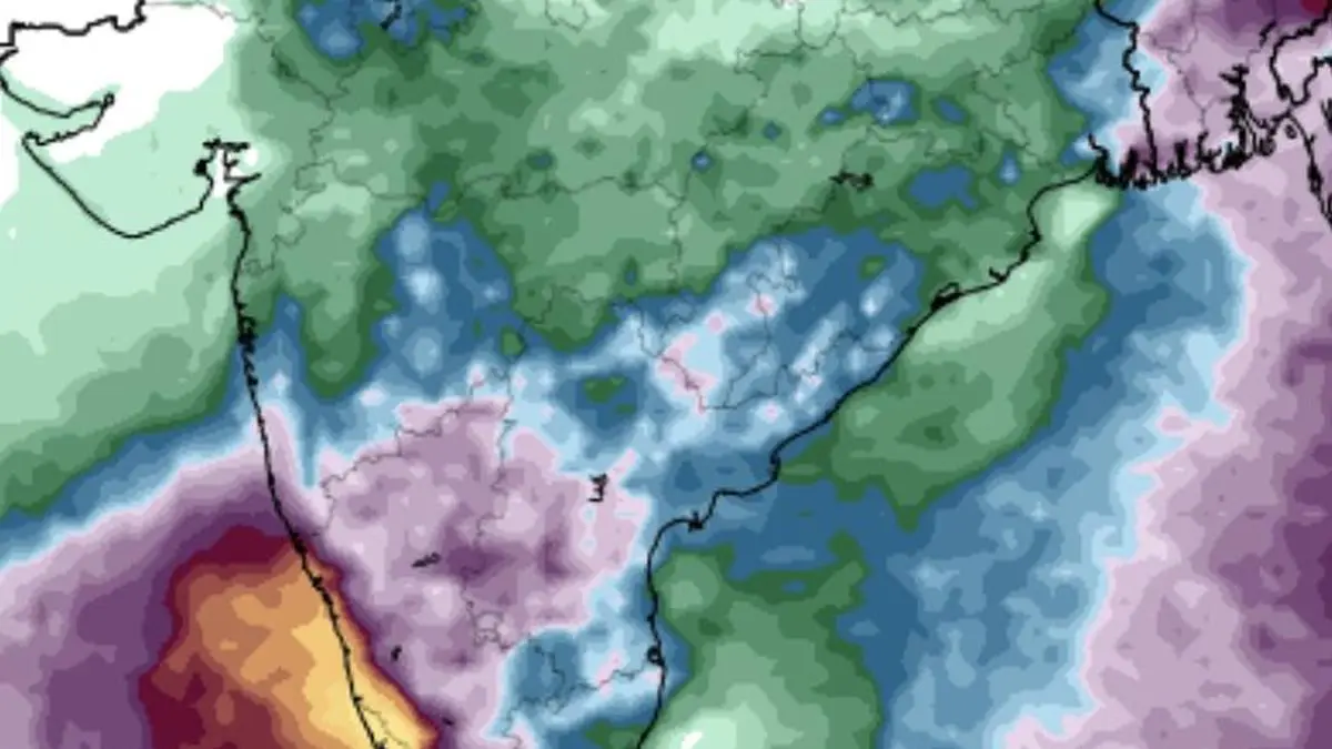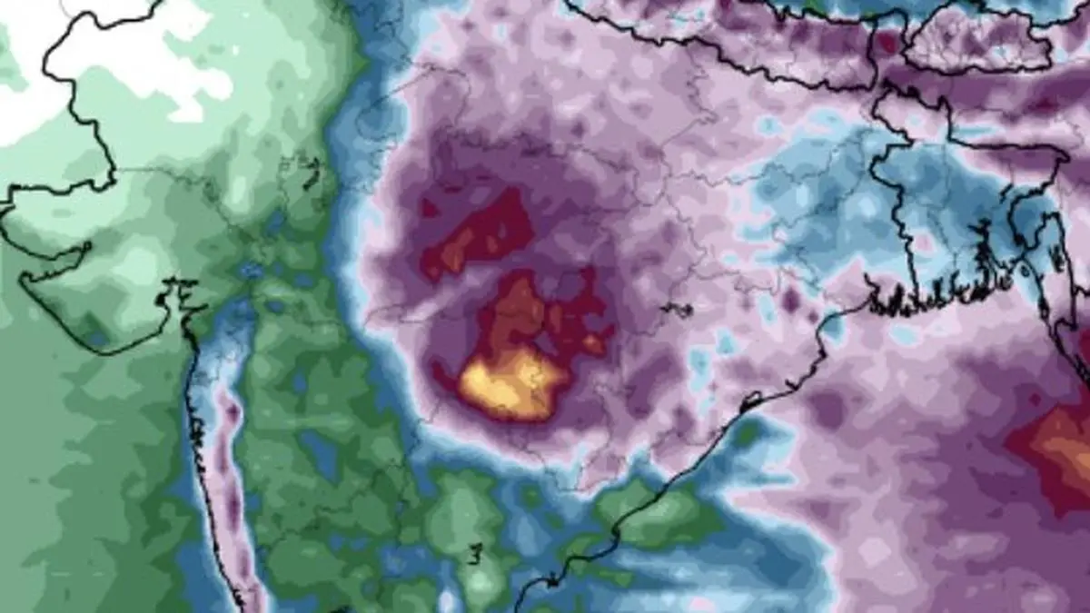
While East India and adjoining Central India may hog the show with maximum rainfall until Wednesday next, the west coast including rain-deficient Kerala may join the party per an ECMWF outlook.
| Photo Credit:
www.tropicaltidbits.com
The monsoon, having spent much of its recent energy over the eastern and northern parts of the country, is now showing signs of a quieter fortnight, under the impact of an El Niño that is forecast to grow rapidly in strength over the equatorial and east Pacific. Rainfall over India as a whole may remain below normal from August 20 to September 2, according to the latest extended-range forecast of the India Meteorological Department (IMD).This aligns with a weather trend reported in businessline a few days ago. The monsoon depression that had been anchoring the rain-bearing system over East and North-East India, as well as parts of Central and North-West India, has weakened into a well-marked low-pressure area and is expected to weaken further into a conventional ‘low.’ Its remnant cyclonic circulation, however, could linger over East India during the coming week, keeping the rain machine ticking over parts of the region.Rain heads southwardWhile East and North-East India, parts of Central India and the North-West remain in the path of a weakening system, the more intriguing twist is a southward shift of the rain belt. Parts of Peninsular India and the South Peninsula could emerge as surprise beneficiaries. Tamil Nadu, Puducherry and Karaikal may receive isolated heavy rain on Monday and Tuesday, while Kerala and Mahe could see isolated heavy rain on Sunday and Monday.Kerala and Mahe, along with Lakshadweep, are also expected to experience fairly widespread to widespread rainfall for four days from Sunday. Coastal Karnataka, meanwhile, is likely to remain under a more persistent wet spell, with fairly widespread to widespread rain forecast for five days from Friday.Wet turn for hills The weather story changes again in the week beginning Thursday, August 27. The IMD expects the western Himalayan region to become a major focus of rainfall, with isolated heavy to very heavy rain over Himachal Pradesh and Uttarakhand on several days, and isolated heavy rain over Jammu and Kashmir.East and North-East India are likely to see light to moderate, fairly widespread to widespread rainfall. The region could also witness some intense spells, with isolated heavy to very heavy rain forecast over Arunachal Pradesh, Assam and Meghalaya, West Bengal and Sikkim, and Odisha.West coast in rain laneThe west coast is unlikely to escape the monsoon’s renewed attention. Konkan and Goa and Coastal Karnataka may receive widespread rainfall, with isolated heavy falls on some days during the week. Elsewhere across Peninsular India, rainfall is expected to be more scattered, though isolated heavy spells are likely on some days.The larger picture, therefore, is one of a monsoon that is losing some of its breadth but retaining pockets of punch. The country may head into a below-normal rainfall fortnight overall, but the rain map will not be uniformly dry: the hills, the east and north-east, and particularly stretches of the southern and western peninsula could still see the monsoon deliver some lively downpours.Published on August 21, 2026