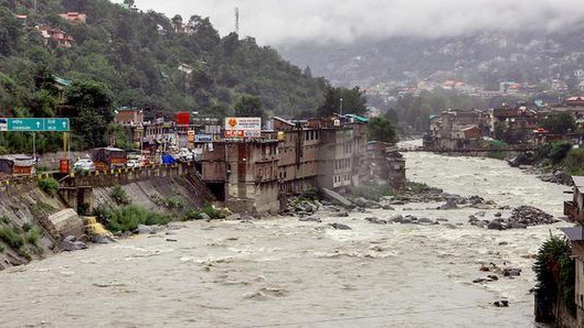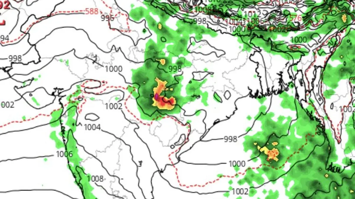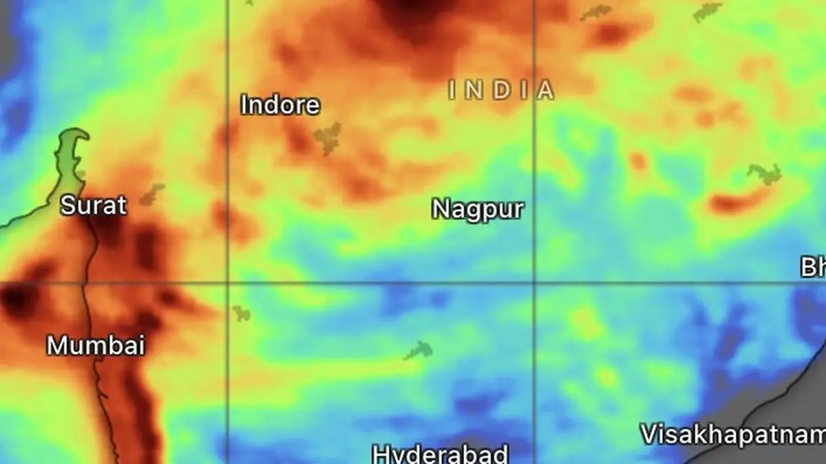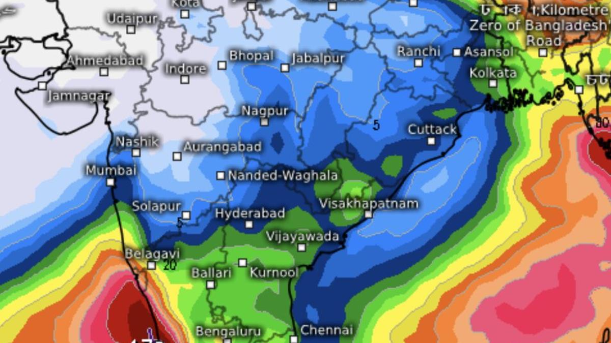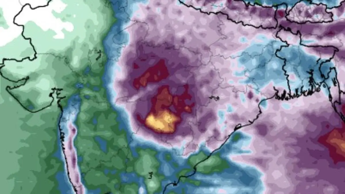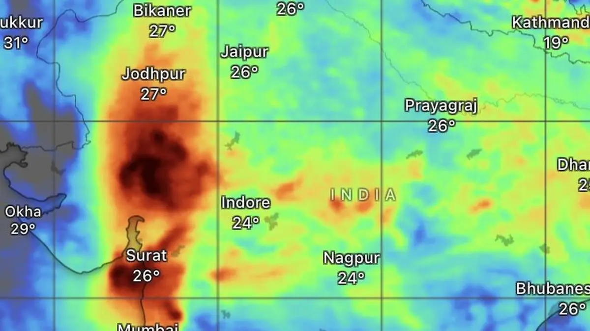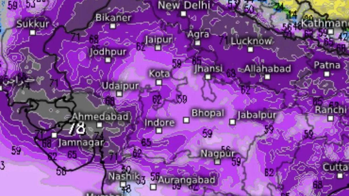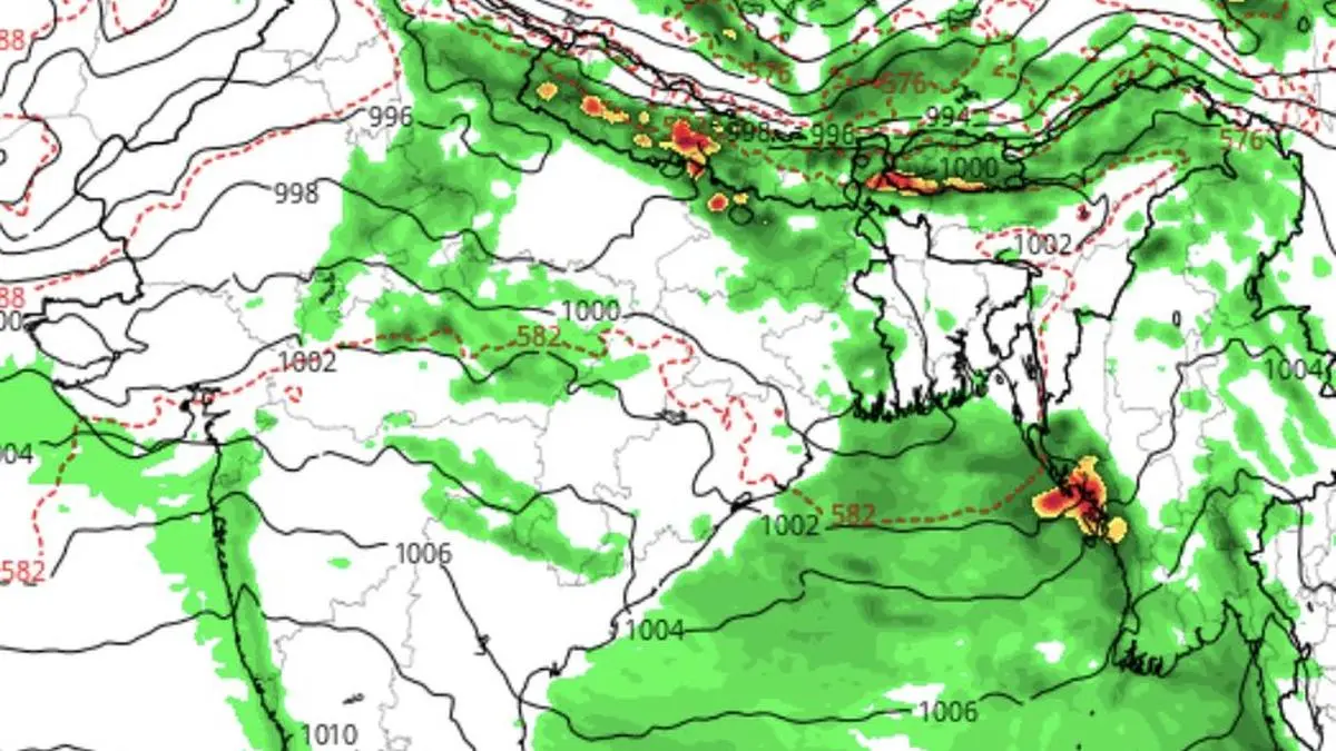
Outlook until Saturday shows rainfall weakening over Central and West India and the heavy rain belt shifting towards the foothills of the Himalayas.
| Photo Credit:
www.tropicaltidbits.com
The monsoon rain machine is set to unleash one final burst over Central and West India today (Tuesday) before easing its grip. Heavy to very heavy rainfall, with isolated spells of extremely heavy rain, is forecast over parts of Konkan, Gujarat and Coastal Karnataka for the rest of today, while Madhya Maharashtra is likely to remain under intense rain through both Tuesday and Wednesday.Depression weakensIndia Meteorological Department (IMD) said the powerful monsoon depression over East India has weakened into a well-marked low-pressure area. The northern limit of the monsoon has remained frozen for the fourth consecutive day, passing through Jamnagar, Udaipur, Ajmer, Jhunjhunu, Hisar and Bhatinda.The weakening system is expected to move slowly west-northwest across Madhya Pradesh and adjoining south-west Uttar Pradesh before losing further strength by Wednesday. Despite this, conditions remain favourable for monsoon to advance into more parts of Gujarat, the remaining areas of Haryana and Punjab, and additional parts of Rajasthan over the next three days, the IMD added.Rains for North-WestAs the system migrates northwestward, it will spread widespread to fairly widespread rainfall across West Uttar Pradesh, Delhi, Haryana, Chandigarh, Punjab, Himachal Pradesh, Uttarakhand and Jammu-Kashmir-Ladakh over the coming days .Ironically, the north-western corner of Rajasthan may be left out of the monsoon’s bounty.Forecast models indicate that the north-west-bound low-pressure area will tug the main rain belt towards the Himalayan foothills, leaving districts along the Pakistan border such as Sriganganagar, Bikaner, Barmer and Jaisalmer with little or no significant rainfall, in stark contrast to the deluge witnessed elsewhere.Support featuresFor now, monsoon’s supporting weather systems remain firmly in place. The seasonal trough extends from south-west Rajasthan to east-central Bay of Bengal, passing through the centre of the low-pressure area over east Madhya Pradesh; north Chhattisgarh, south Jharkhand and north Odisha. An upper-air shear zone continues to stretch across Maharashtra, Vidarbha and Odisha, while the offshore trough persists along the west coast from south Gujarat to the North Kerala coast.May unravel soonerThese features, however, are expected to unravel one after another as the weakening low-pressure area shifts north-west and pulls the axis of heavy rainfall with it towards the foothills. Once that transition is complete, the current spell of frenetic monsoon activity over Central India is expected to wind down, with the focus of the rains shifting decisively to the north. Published on July 7, 2026