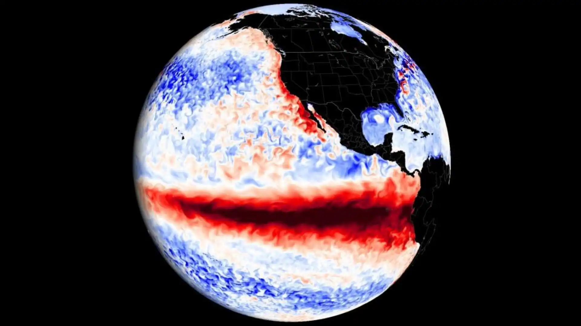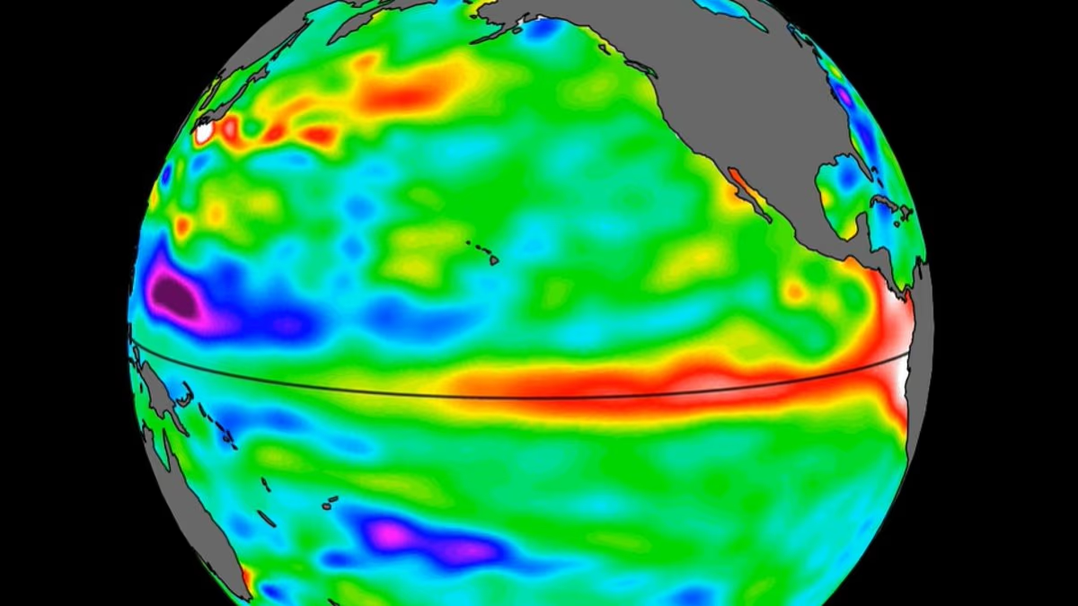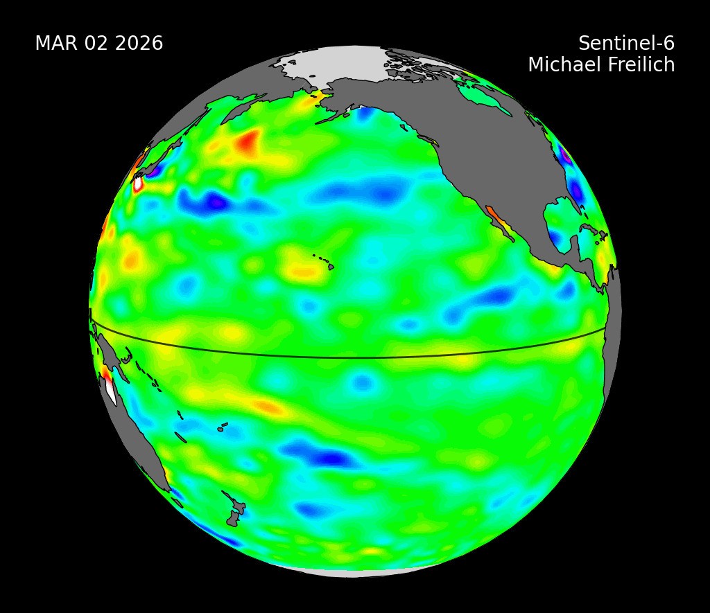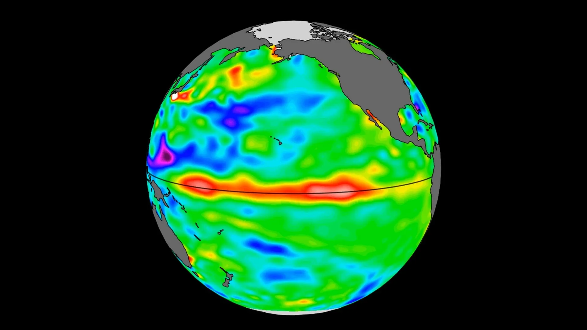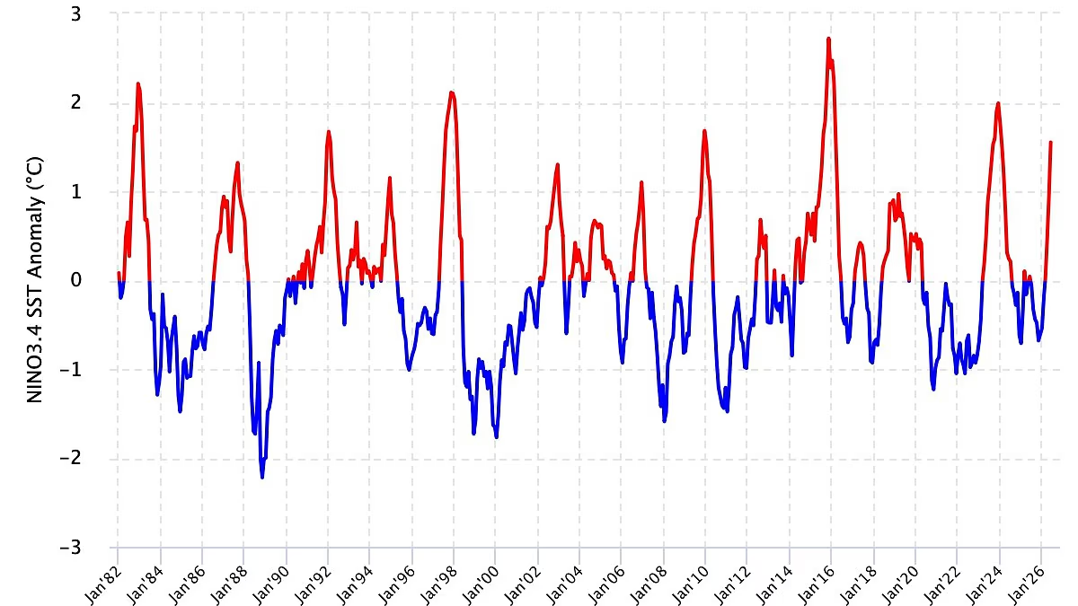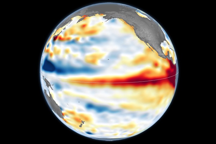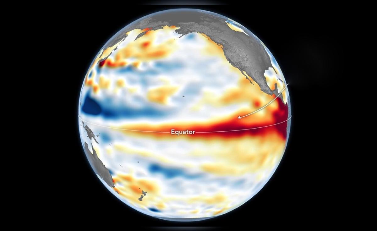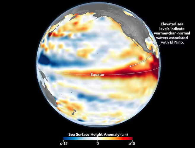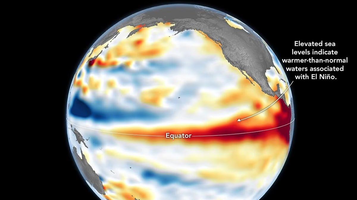
The Super El Niño is 'underway', NASA has confirmed, following satellite observations of sea surface height across the Pacific.Measurements taken by the Sentinel–6 Michael Freilich satellite show that sea levels across parts of the equatorial Pacific are elevated.'When ocean water warms, it expands in volume and causes the sea surface to rise—making the water's height a reliable indicator of ocean temperatures,' NASA explained.'Warmer–than–normal temperatures, hence higher sea surface heights, in parts of the equatorial Pacific Ocean are associated with El Niño.'While the NOAA declared the El Niño on June 11, NASA says its latest observations are a 'complementary sign' of the climate event.Worryingly, the space agency predicts this El Niño will have 'widespread effects'.This includes wetter conditions to the US Southwest, and drought to countries in the western Pacific, such as Indonesia and Australia.What's more, experts say we can expert extreme heat 'almost everywhere' – including the UK. The Super El Niño is 'underway', NASA has confirmed, following satellite observations of sea surface height across the PacificTo create the map, NASA's Jet Propulsion Laboratory processed data collected by the Sentinel–6 Michael Freilich – a satellite led by the European Space Agency (ESA) – on 8 June.Red areas indicate sea levels that were higher than average, while white areas are normal, and blue areas are low.'Signals related to seasonal cycles and long–term trends have been removed to highlight sea level anomalies associated with El Niño and other short–term natural phenomena,' NASA explained.Back in early spring, the satellite started to detect swells of warm water hundreds of miles wide moving from the western Pacific to the eastern Pacific.Known as Kelvin waves, these are known to be a key precursor to El Niño.'[Kelvin waves] happen when trade winds in the western equatorial Pacific weaken and then temporarily reverse to blow from the west,' NASA explained.'Warm water piles up in the east, deepening the warm surface layer, lowering the thermocline, and suppressing the upwelling that usually keeps waters along the Pacific coasts of the Americas cooler.'This buildup of heat beneath the water's surface is what sea surface height observations capture.
Super El Niño is underway, NASA map confirms
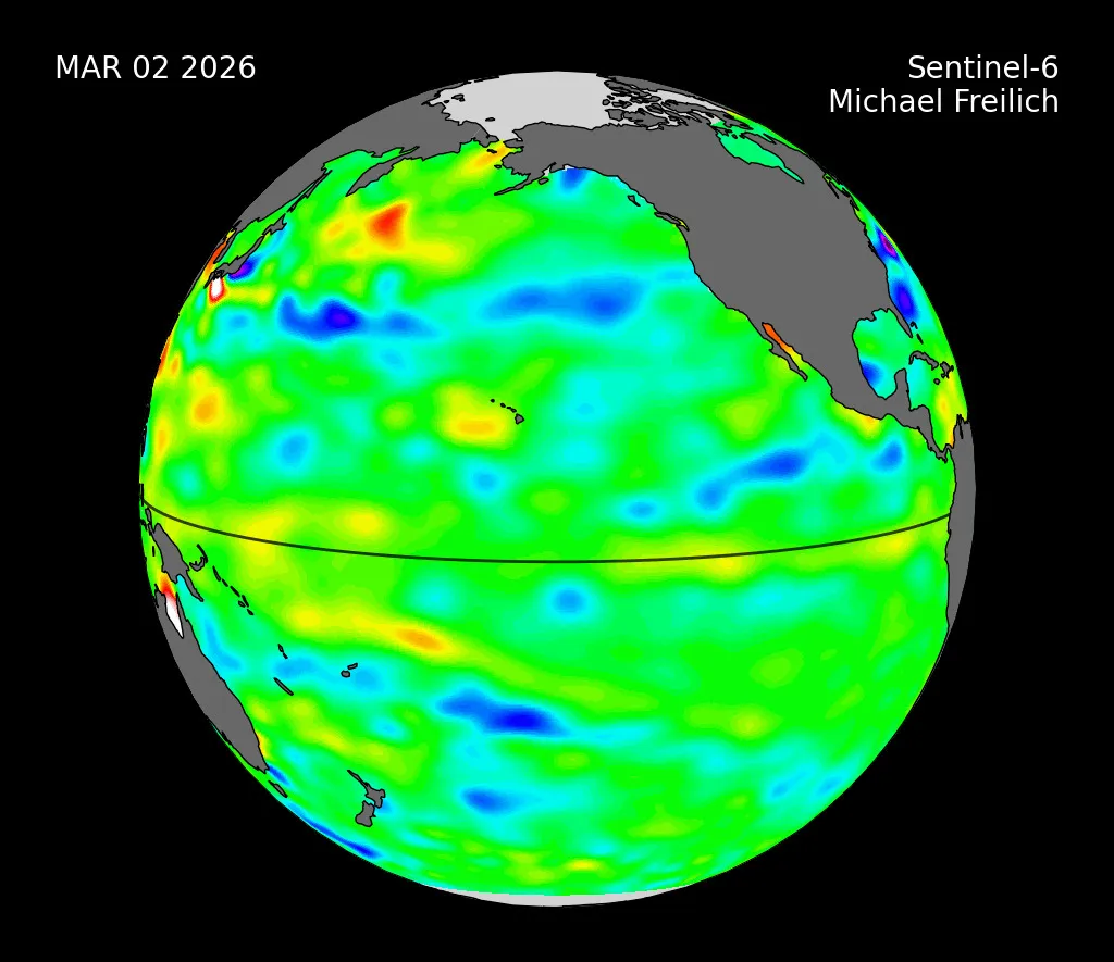
Measurements taken by the Sentinel-6 Michael Freilich satellite show that sea levels across parts of the equatorial Pacific are elevated.
1,002 words~5 min read