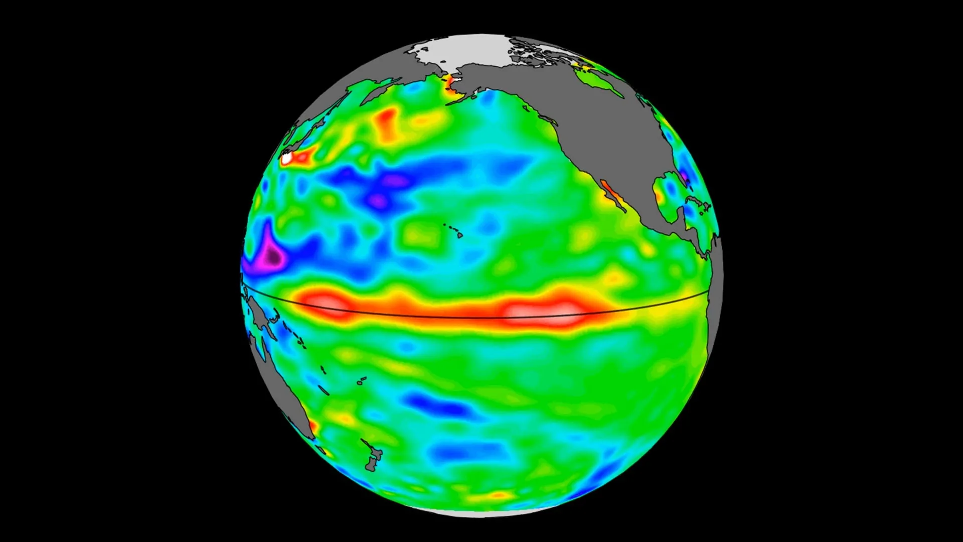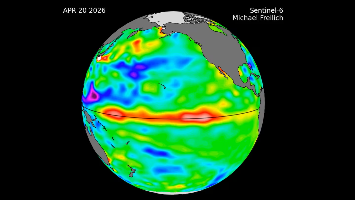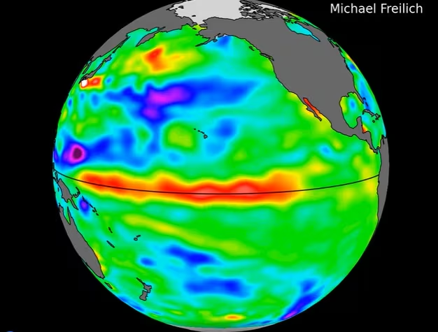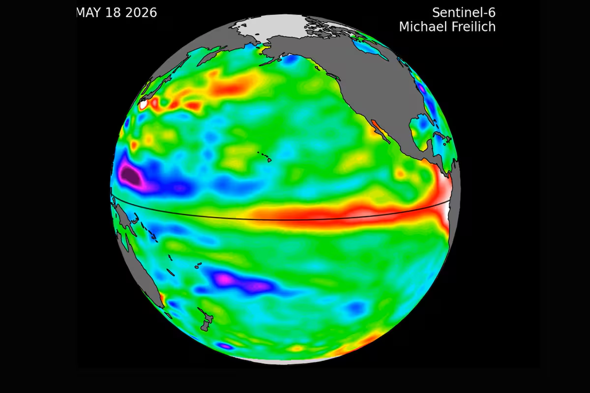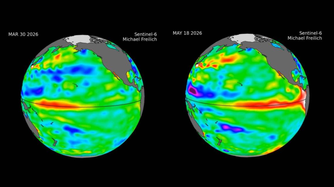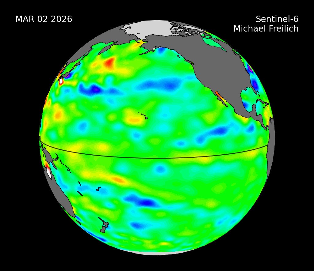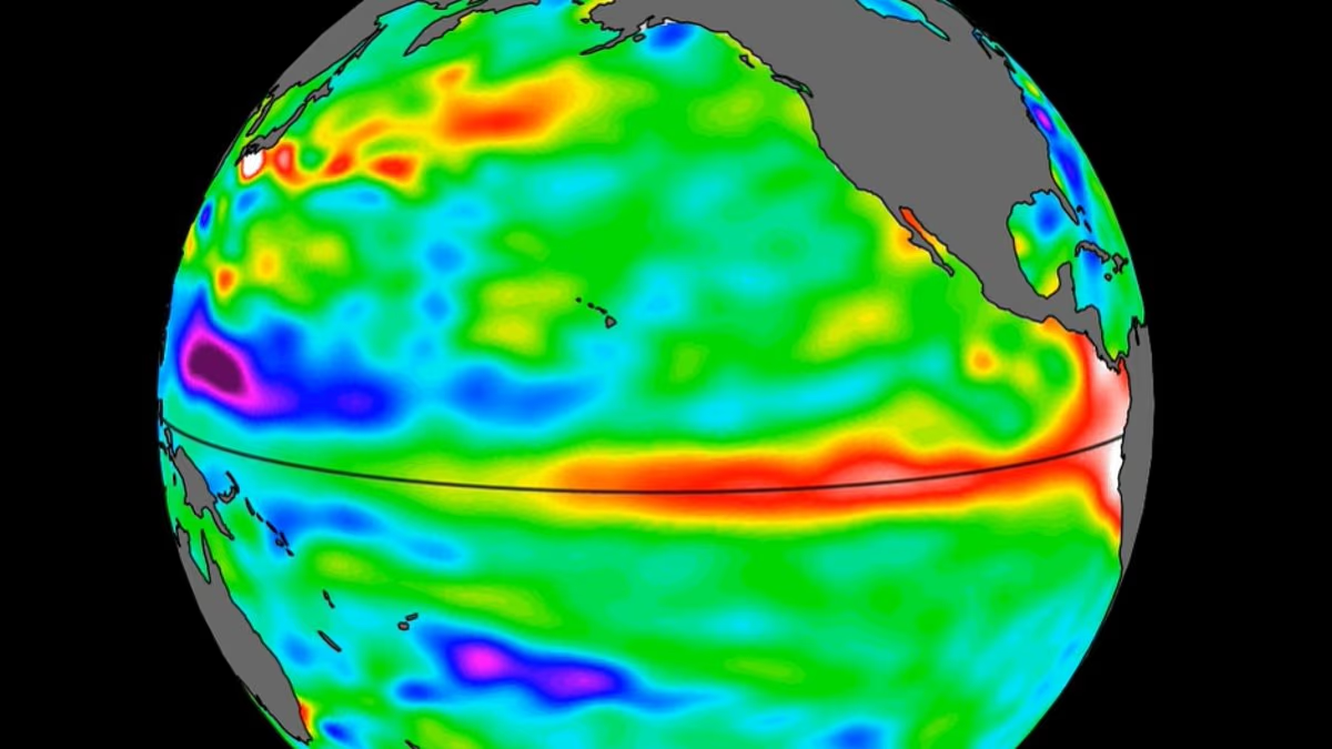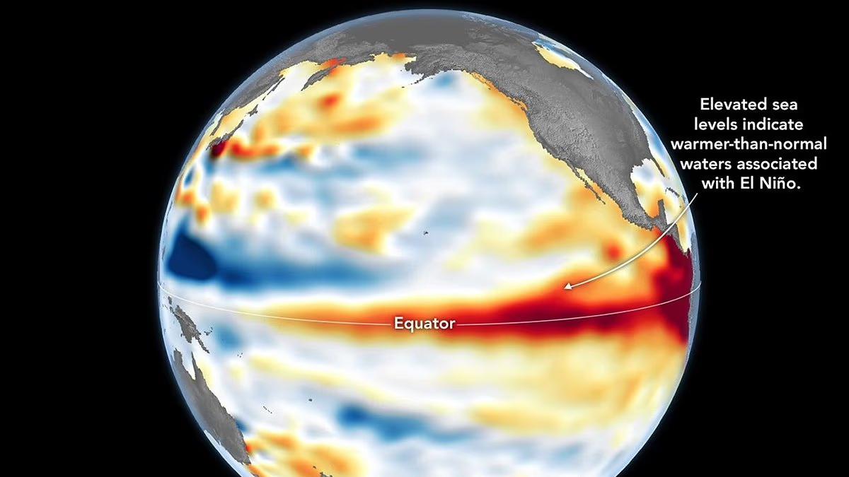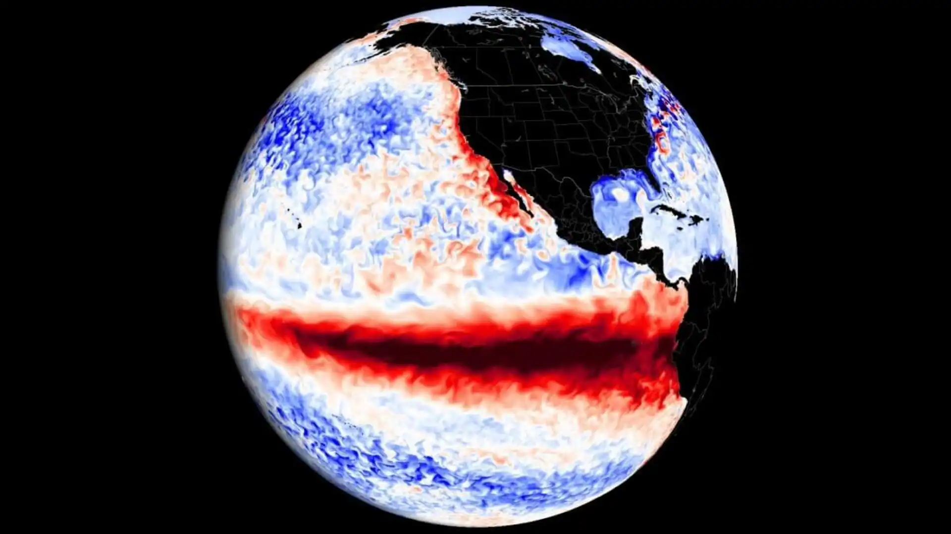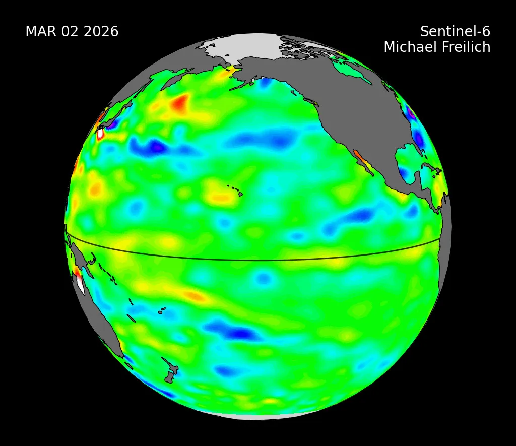
Sea level data from a satellite launched by NASA and European partners shows that a swell of warm water hundreds of miles wide has arrived in the Pacific Ocean off the coast of South America, a sign that El Niño will likely emerge later in the year. Because water expands as it warms, a rise in elevation of an area of the ocean indicates increasing ocean temperatures.
El Niños can cause heavy precipitation in some regions and deficits in others, influencing daily life and commerce around the world.
Launched in 2020 by NASA and led by ESA (European Space Agency) for the E.U. Copernicus Programme, the Sentinel-6 Michael Freilich satellite measures and maps water height for the entire ocean every 10 days, down to fractions of an inch. In the case of El Niño, the satellite tracks what are called warm Kelvin waves.
These waves typically form after brief periods when winds over the far western equatorial Pacific Ocean shift from prevailing easterlies — moving from east to west — to westerlies. That effect, combined with a general weakening of easterly winds along the equator, causes water in the tropics of the western Pacific to get warmer and sea levels to rise. The wave that forms then propagates east for several weeks, eventually reaching South America and causing water off the coast to heat up and rise. An El Niño develops as multiple Kelvin waves appear over the course of several months, and the warm water accumulates off the shores of Colombia, Ecuador, and Peru.