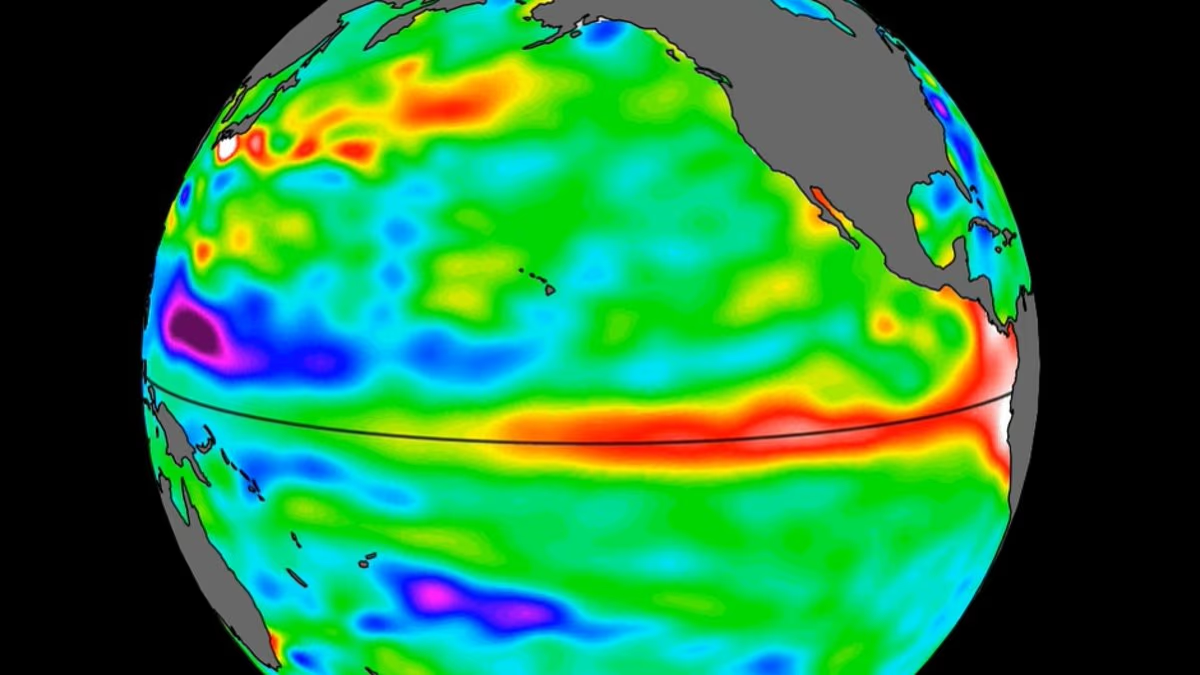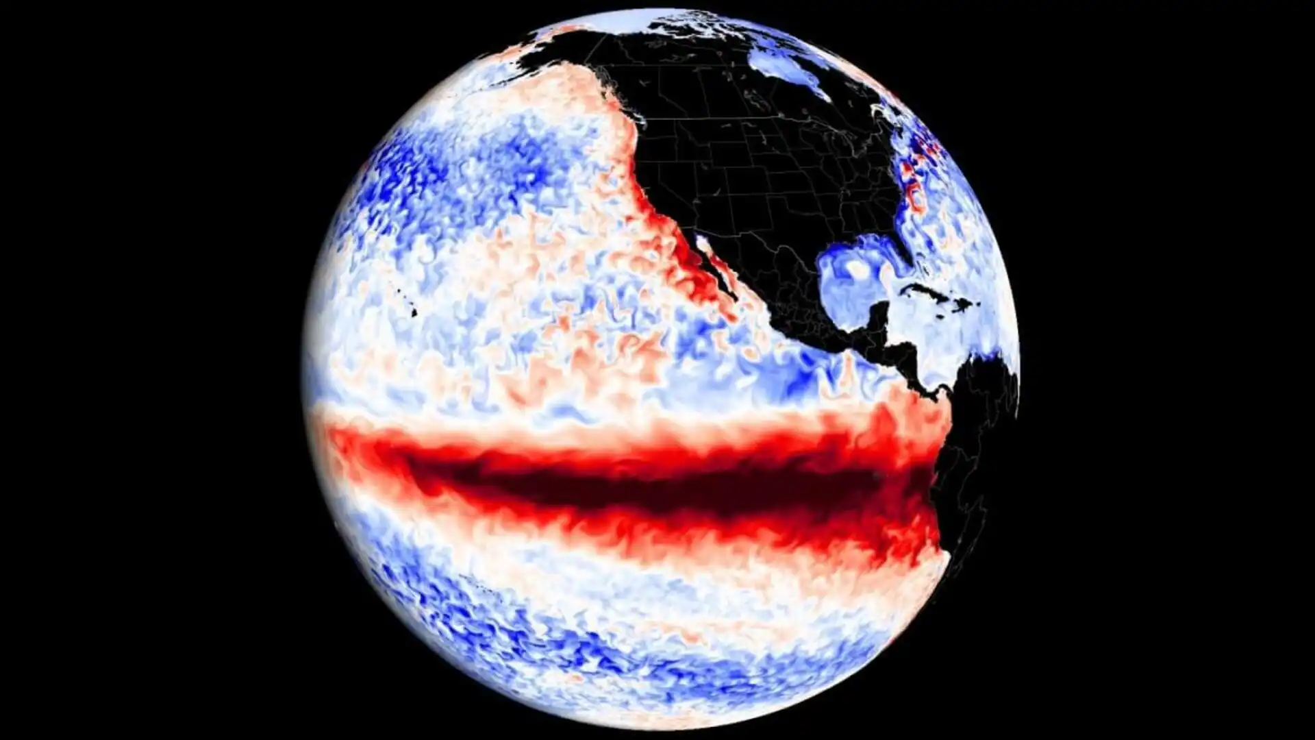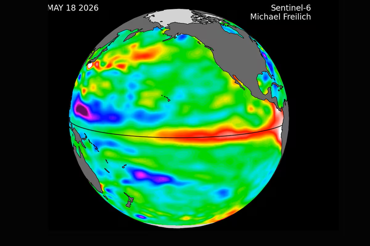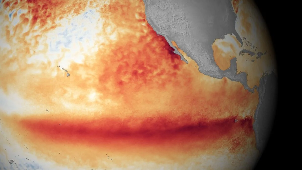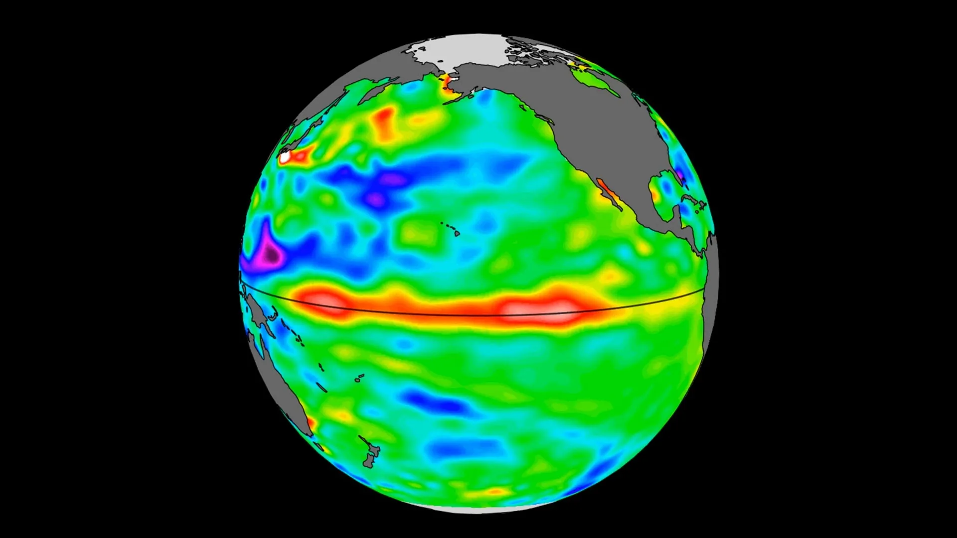
NASA and its European partners are tracking a major buildup of warm water in the Pacific Ocean that could signal the arrival of El Niño later this year.
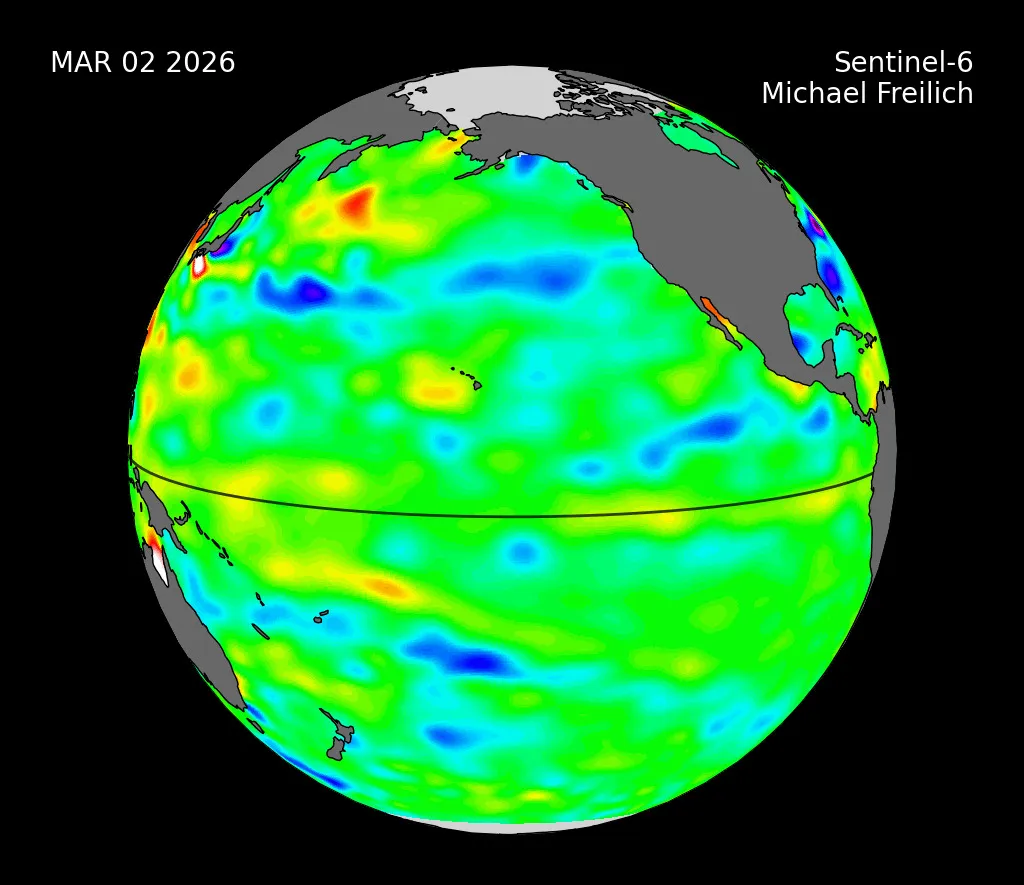
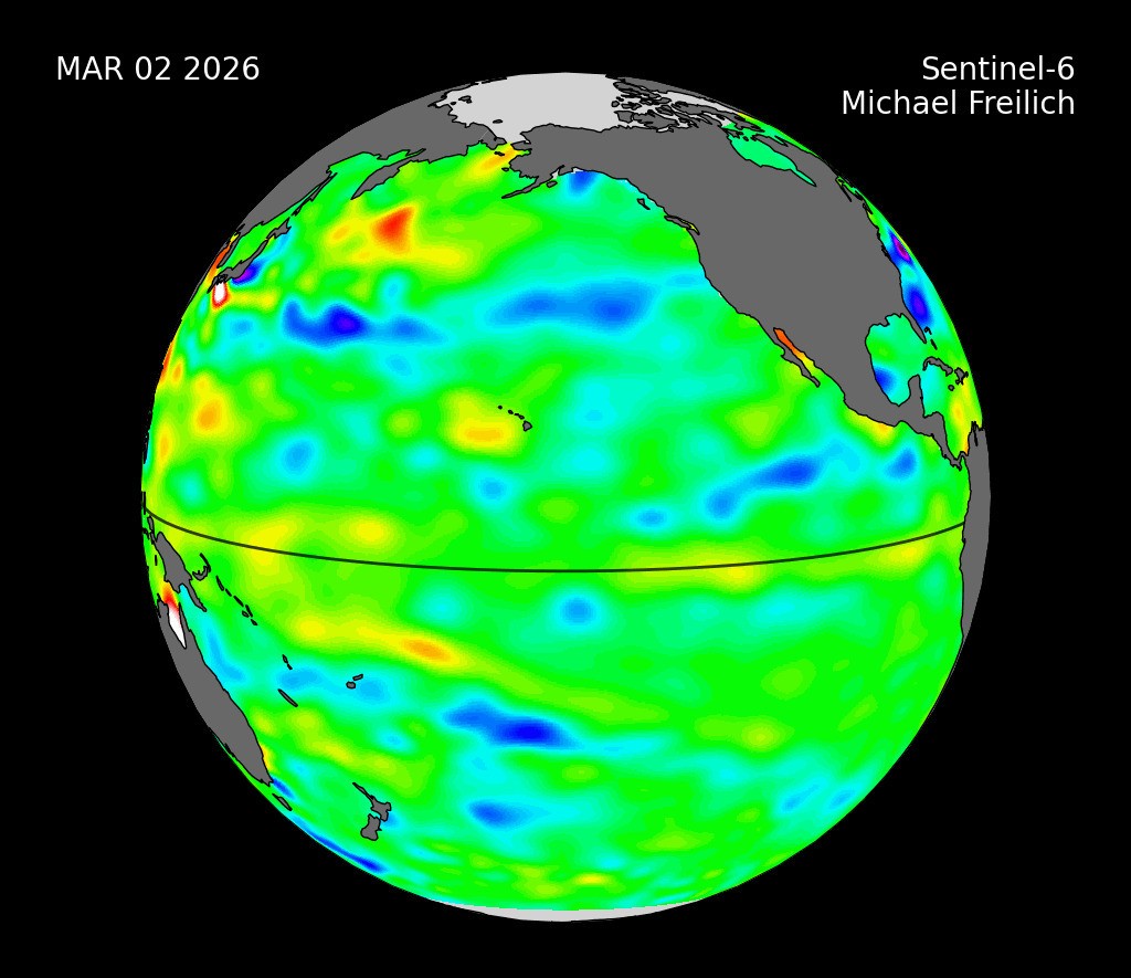
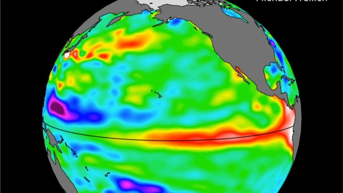
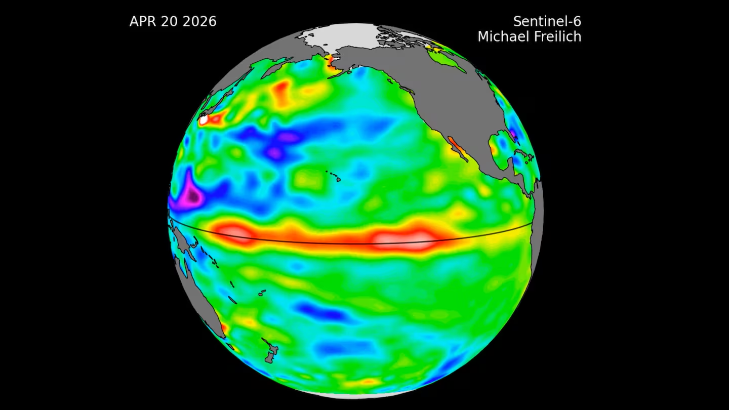
Data collected by the Sentinel-6 Michael Freilich satellite shows a broad area of unusually warm water, stretching hundreds of miles across, has reached the waters off South America. Because water expands as it warms, rising sea levels in a specific region of the ocean can reveal where temperatures are increasing beneath the surface.
El Niño can have far-reaching effects, bringing excessive rainfall to some regions while leaving others unusually dry. Those shifts can affect agriculture, transportation, water resources, and economies around the world.
Satellite Data Reveals Warm Pacific Waters
Launched in 2020 by NASA and led by ESA (European Space Agency) for the E.U. Copernicus Programme, Sentinel-6 Michael Freilich measures sea surface height across the world's oceans every 10 days with precision down to fractions of an inch. One of its key roles is monitoring warm ocean features known as Kelvin waves, which are closely linked to the development of El Niño.