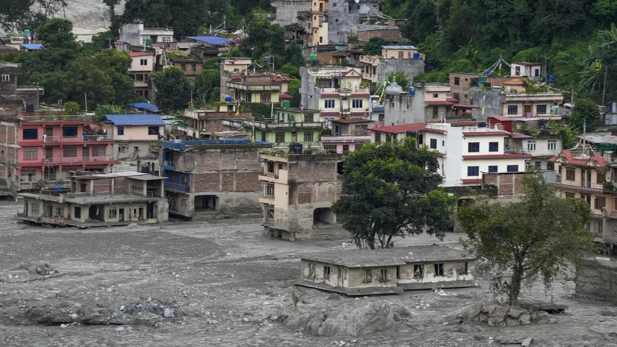
Nepal floods: Himalayan tragedy
| Photo Credit:
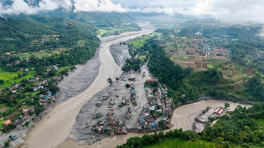
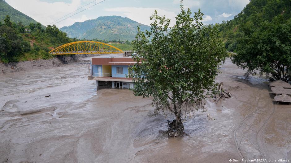
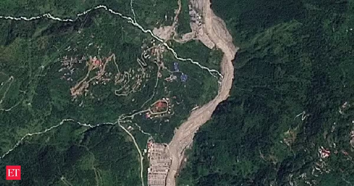
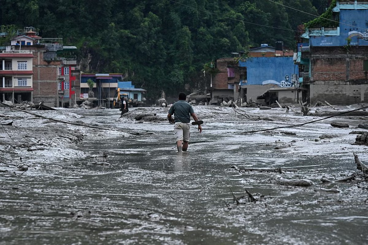
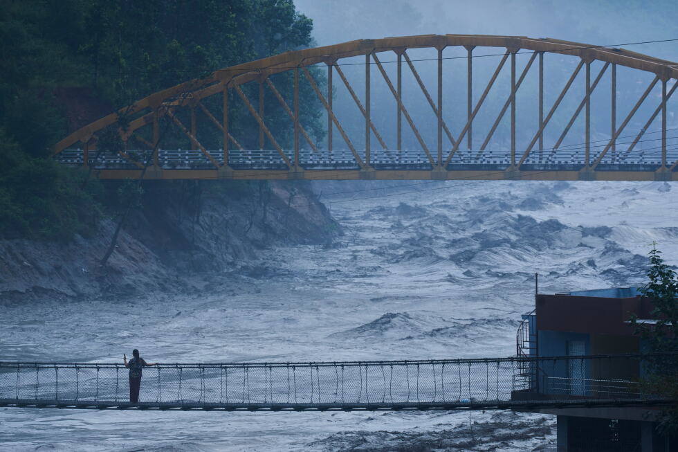
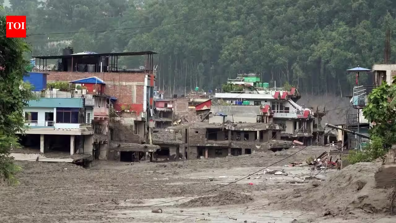
The catastrophic floods that struck Nepal’s Rasuwa district and the Nepal-Tibet border on August 26 offer a sobering reminder of how rapidly a high-altitude hazard can become a downstream disaster. What unfolded was not simply a conventional rainfall-induced flood, but a complex chain involving the cryosphere, unstable mountain terrain, river blockage and sudden release of stored water. Preliminary assessments indicate that an ice-rock avalanche associated with a glacier collapse in Tibet entered the Lhende Khola, temporarily obstructing the river.Water accumulated behind the blockage before the natural barrier failed, sending a powerful surge of water, ice, rock and sediment downstream into Nepal’s Bhotekoshi river system. The event destroyed bridges, roads, houses and other infrastructure, causing significant loss of lives and leaving many people missing. The significance of this event extends well beyond Rasuwa. It demonstrates how interconnected Himalayan hazards are becoming — and why conventional flood-risk assessments may no longer adequately capture the risks facing mountain communities and downstream infrastructure.Glacier to River HazardHimalayan river flows are governed by the interaction of monsoon rainfall, snowmelt, glacier melt and groundwater.Climate change is altering these components at different rates, increasing uncertainty in the timing and magnitude of runoff. Glacier retreat is particularly important. As ice masses lose volume, meltwater contributions can initially increase before declining as available glacier storage diminishes. Changes in snowfall further modify seasonal runoff.A glacier or ice-rock collapse can rapidly transform into a river catastrophe when debris blocks a channel and creates a temporary natural reservoir. Failure of that blockage can release water suddenly, carrying enormous quantities of sediment and boulders downstream. Unlike a conventional rainfall flood, such an event may originate far upstream, develop with little warning and occur without intense rainfall at the location where destruction takes place.The Himalayan risk landscape is increasingly characterised by interacting hazards rather than isolated events. A warming environment can influence glacier stability, snow conditions and high-altitude terrain, while intense precipitation can increase runoff and slope instability.The resulting chain can be expressed simply: cryospheric change -- ice/rock failure -- river blockage -- temporary storage -- sudden release -- debris-laden flood -- downstream infrastructure failure. The significance lies in the amplification. A localised high-altitude event can become a major disaster far downstream. This calls for a shift from managing “floods”, “landslides” and “glacier hazards” independently towards multi-hazard, basin-scale risk management.A few measuresThe answer cannot be another isolated infrastructure project. A resilient approach needs to be adopted and this could include:(i) High-altitude hazard surveillance: Continuous satellite and ground-based monitoring of glaciers, unstable slopes, snow cover and glacial/debris lakes.(ii) Real-time basin intelligence: Integrating cryospheric, meteorological, seismic and hydrological data into common operational platforms.(iii) Multi-hazard early warning: Warning systems must detect not only rainfall floods but also GLOFs, ice-rock avalanches, landslide dams and sudden dam-break-type surges.(iv) Downstream evacuation protocols: Communities in vulnerable river corridors need warnings that translate directly into clear evacuation decisions.(v) Climate-resilient infrastructure standards: Roads, bridges, hydropower facilities and settlements should be designed using forward-looking hazard assessments rather than historical averages alone.(vi) Transboundary data cooperation: Himalayan hazards cross borders; early-warning information must do the same.(vii) Basin-scale risk planning: Flood, drought, hydropower, agriculture, urban water supply and ecosystem management should be considered within the same river-basin framework.The tragedy in Nepal is a warning about a Himalayan system in transition.In India, Ganga, Brahmaputra and their tributaries link high-altitude cryospheric changes with densely populated plains, critical infrastructure and major agricultural and economic activity.India therefore needs to strengthen cryosphere monitoring, real-time hydrological intelligence, multi-hazard early warning and climate-resilient infrastructure planning.Particular attention should be given to identifying upstream hazards, rather than assessing flood risk only at individual locations. Stronger information-sharing with Himalayan countries would improve lead times and preparedness.The writer is National President – Ecological & Economic Resilience Council, WICCIPublished on August 31, 2026