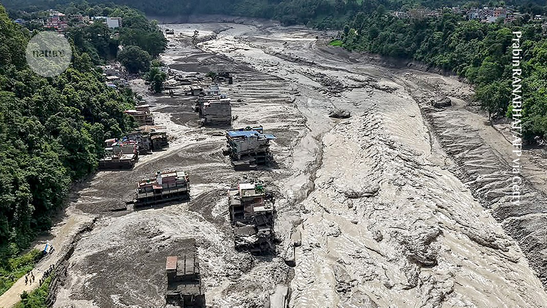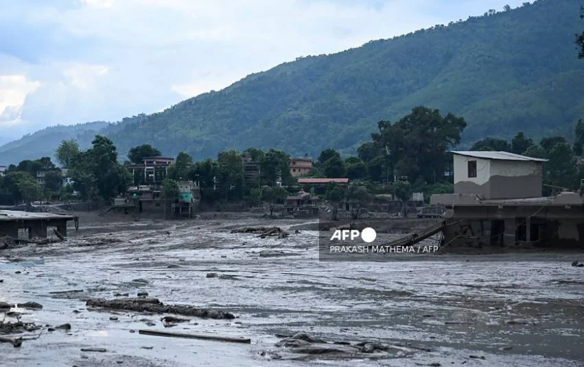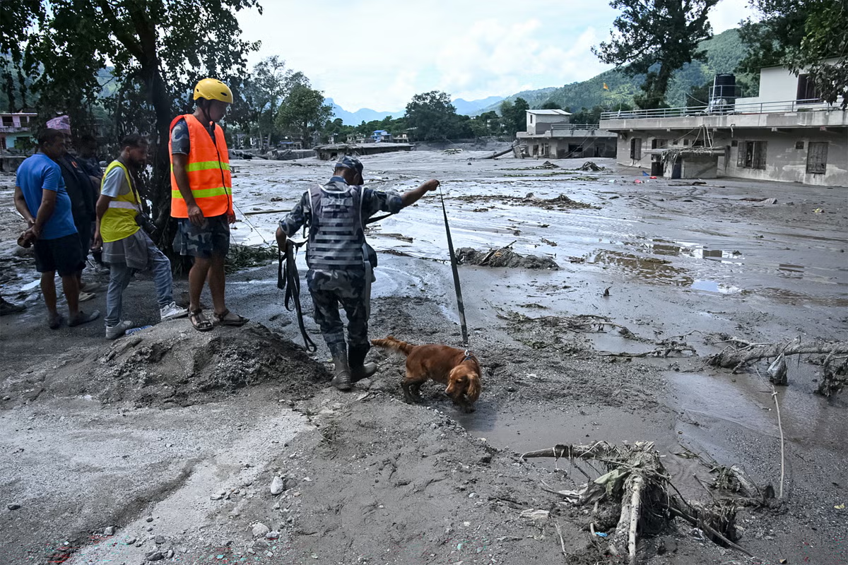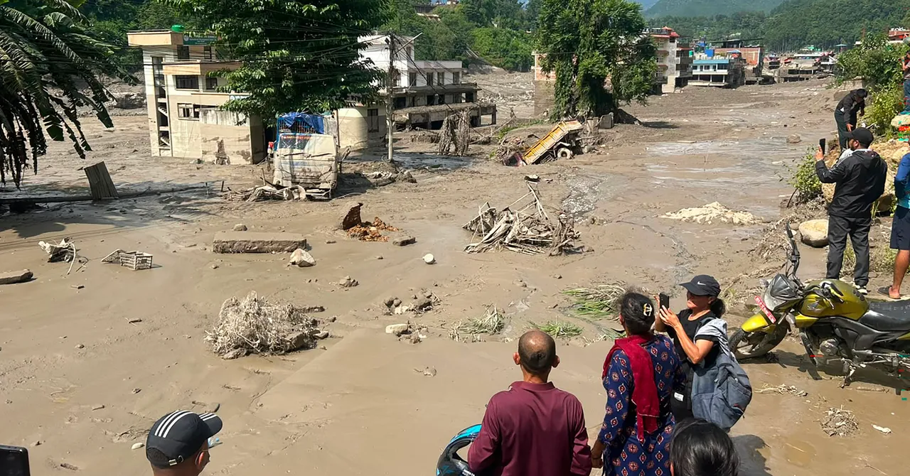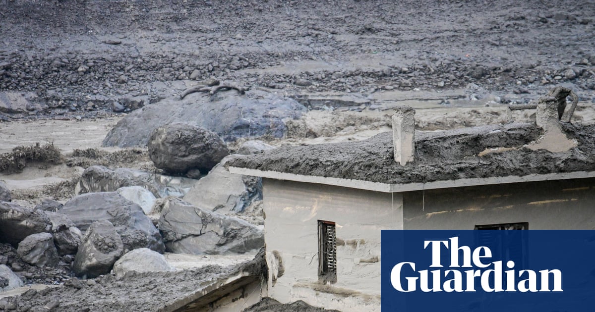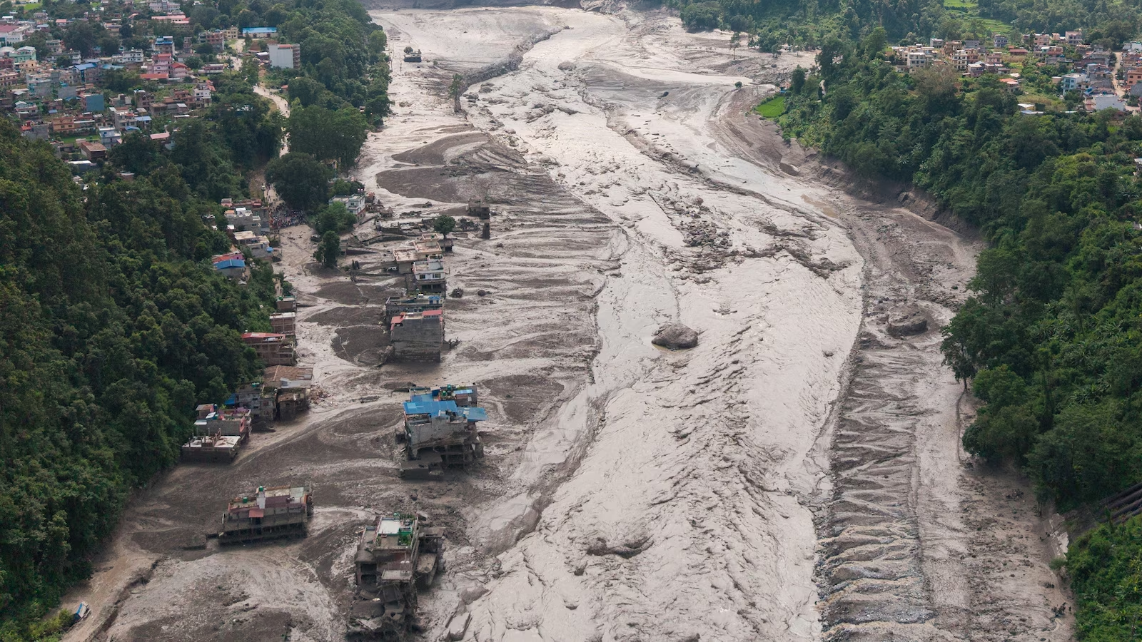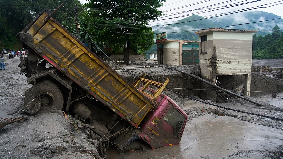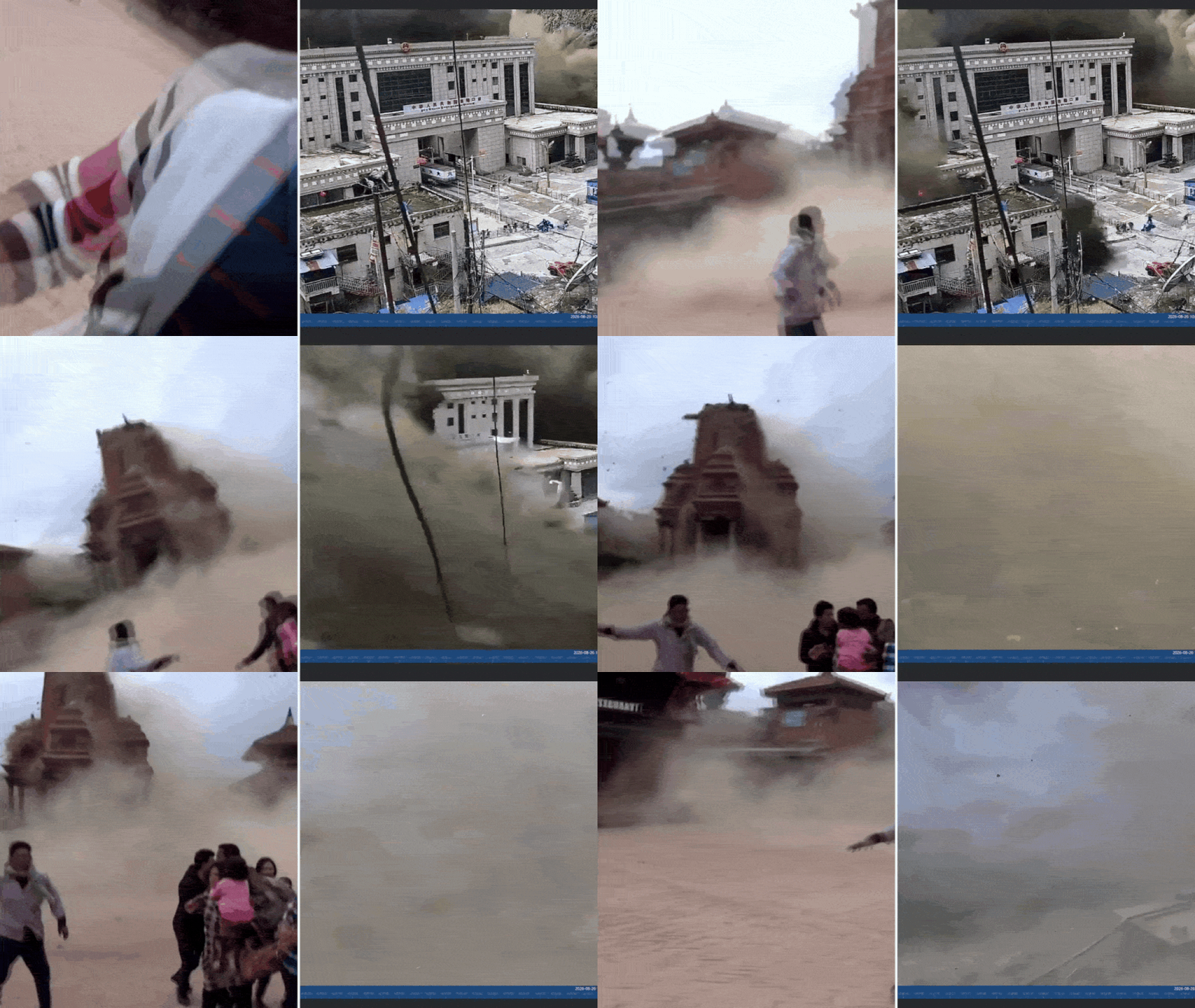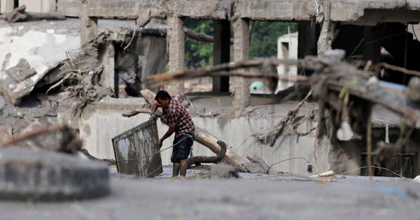
Mt Langtang Lirung, the majestic mountain that towers 7,245m and is located 45 km directly north of Kathmandu, has a tragic history.A massive 7.8 magnitude earthquake in April 2015 that shook central Nepal triggered an avalanche on its south face, which fell into the glacier below and buried the village of Langtang. At least 300 people were killed.On Wednesday, there was a 4.4 magnitude earthquake near the border with China at exactly 8.37 am Nepal Time. This time, it coincided a huge avalanche on the north face of Langtang.Langtang Lirung is wholly within Nepal, and the debris flow from the avalanche blocked the monsoon-swollen Lhende Khola that marks the border with China. The impounded lake burst soon after, sending a wall of mud and boulders racing down the Trisuli River into Nepal.At least that is what experts who have seen satellite images from Planet Labs have concluded. Scientists are still divided about whether the earthquake caused the slope collapse on the north face, or whether the avalanche was so massive that it caused the seismic event.We’re sharing an open data release for the flood that swept through the Bhote Koshi–Trishuli river corridor across the China-Nepal border today. This resource is intended to help support disaster response experts, and will be updated as we capture more imagery of impacted… pic.twitter.com/eK3O2AzGUm— Planet (@planet) August 27, 2026
The day after catastrophic flash flood, Nepal contemplates enormous cost of climate change
The country will need to frame an effective strategy to deal with seismic and climate change-induced disasters that are certainly going to increase.
790 words~4 min read