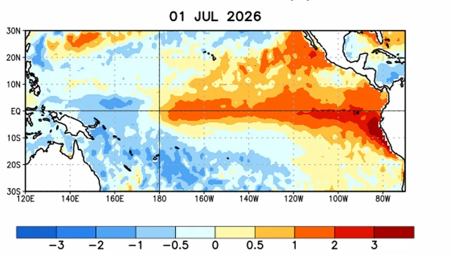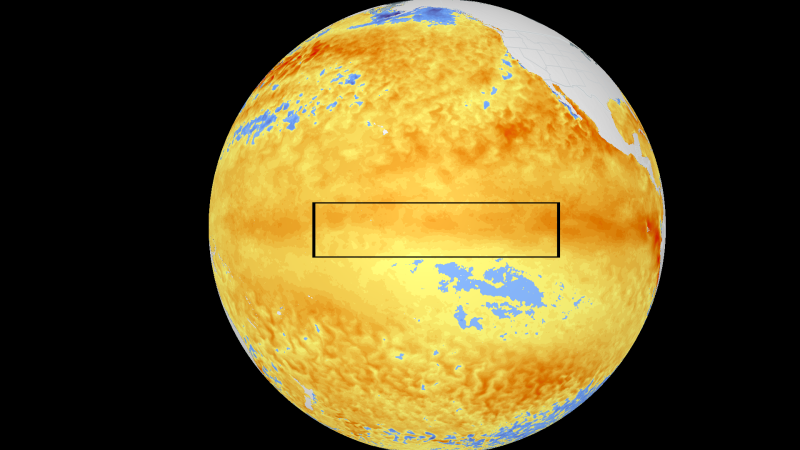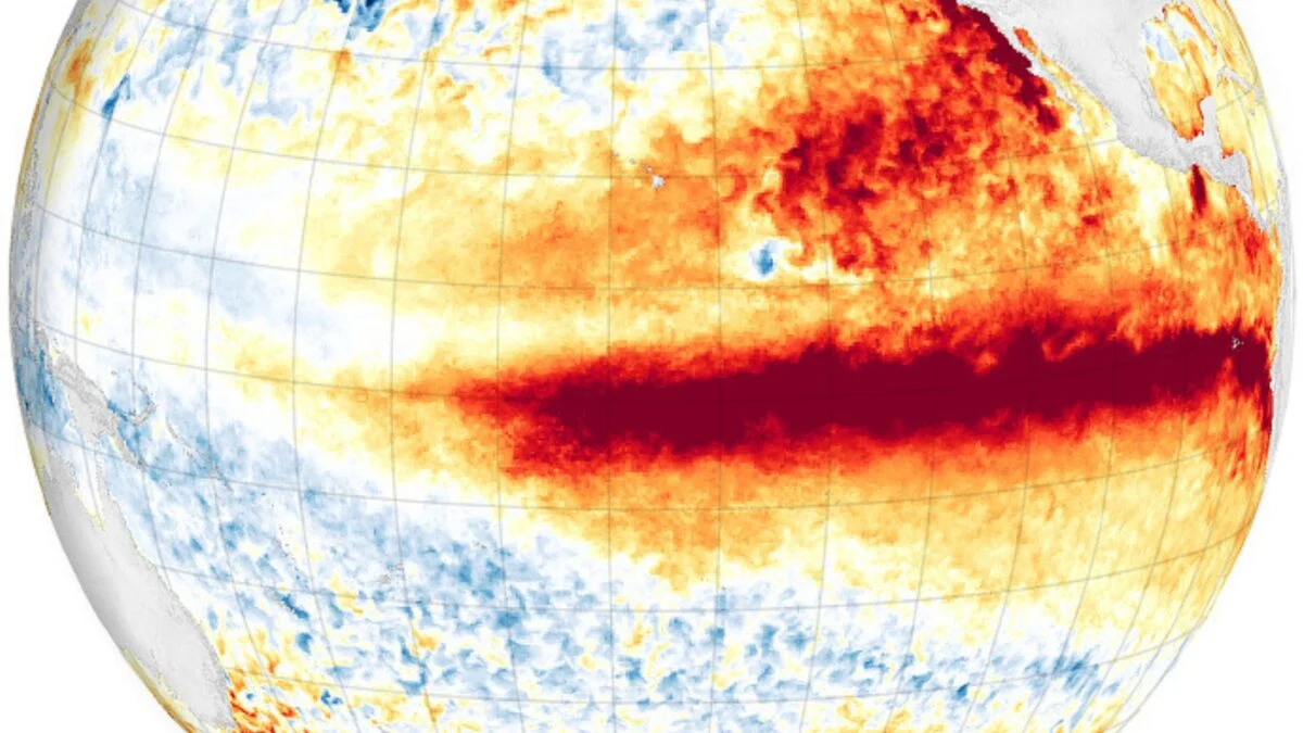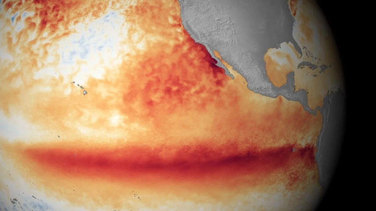
El Niño, declared by the National Oceanic and Atmospheric Administration (NOAA) just one month ago, is strengthening at a rapid clip. It has now reached “moderate” strength weeks ahead of schedule and shows no sign of slowing down. According to the World Climate Service, sea surface temperatures in the Niño-3.4 region of the Pacific Ocean have climbed 3.6 degrees Fahrenheit (2 degrees Celsius) above average, reaching the threshold for a “super” El Niño. It remains to be seen whether this significant anomaly will hold, but on Thursday, NOAA forecasters said there is an 81% chance of a “very strong” El Niño between October and December. That would make this event one of the largest—potentially the largest—since record keeping began in 1950. The Niño-3.4 region is the primary section of the equatorial Pacific that scientists monitor for El Niño and La Niña. Sea surface temperatures in this region have been record-high for a month straight, according to meteorologist Ben Noll. “The current streak is now just days away from the 40-day record set during the historic 1997 event,” he said in an X post on Thursday.
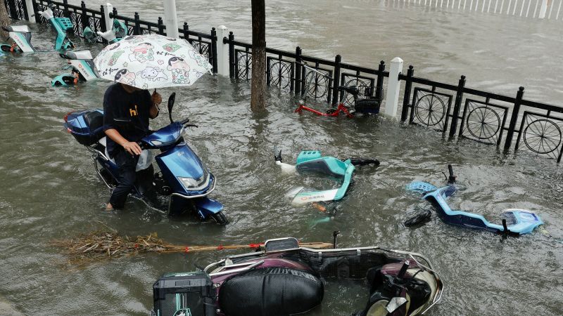
The compounding effects of climate change As this exceptionally strong El Niño unfolds, climate scientists are increasingly concerned that human-driven climate change will amplify its impacts. During El Niño, sea surface temperatures in the central and eastern tropical Pacific rise above average, pumping extra heat into the atmosphere and shifting the Pacific jet stream southward. This raises the global temperature and alters weather patterns in various ways across the world. Now that El Niños are unfolding against the backdrop of global warming, they can boost Earth’s temperature into uncharted territory and exacerbate extreme weather events that are already growing more frequent and severe.