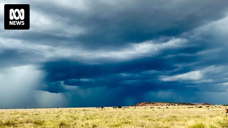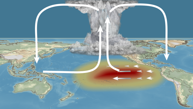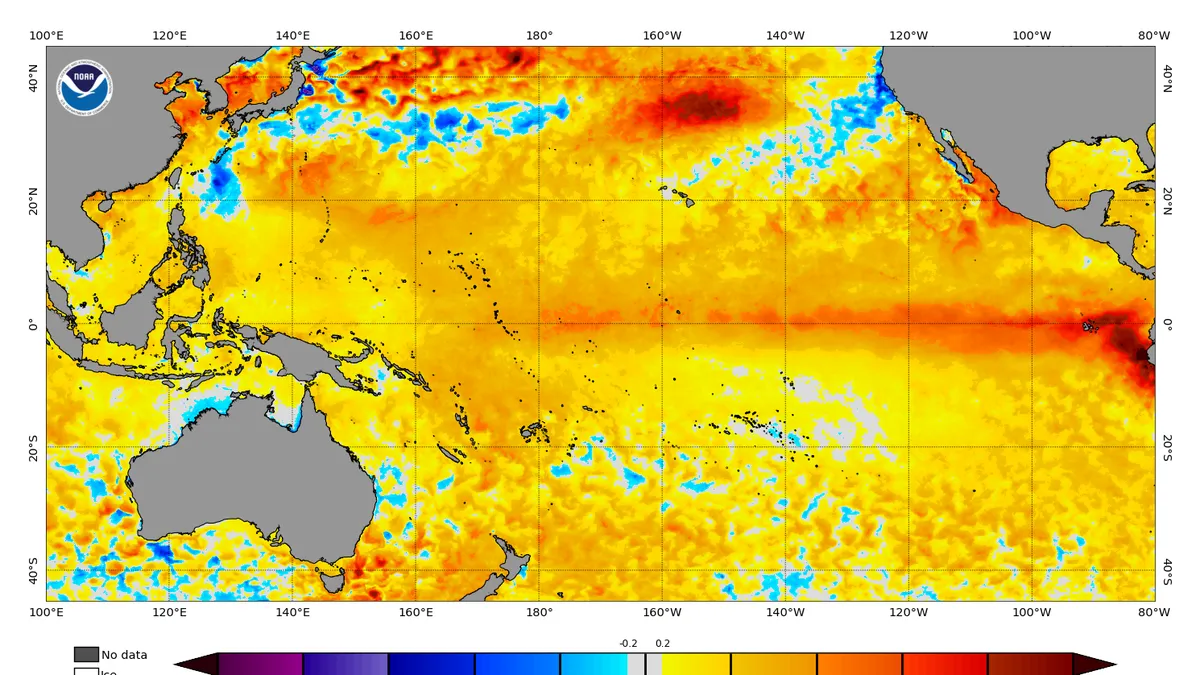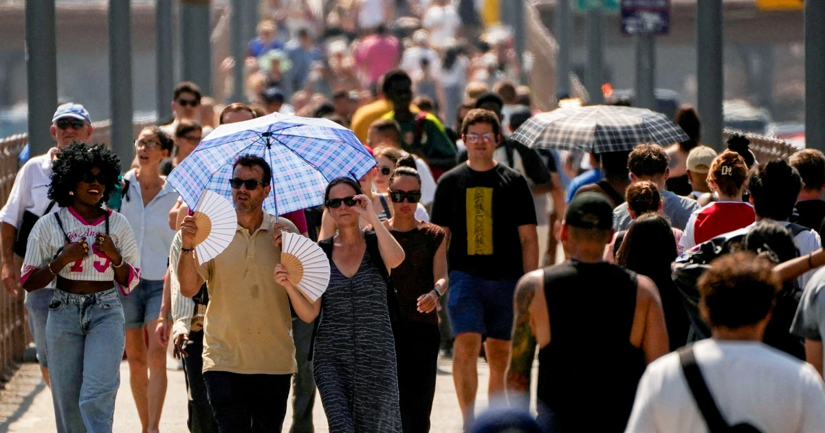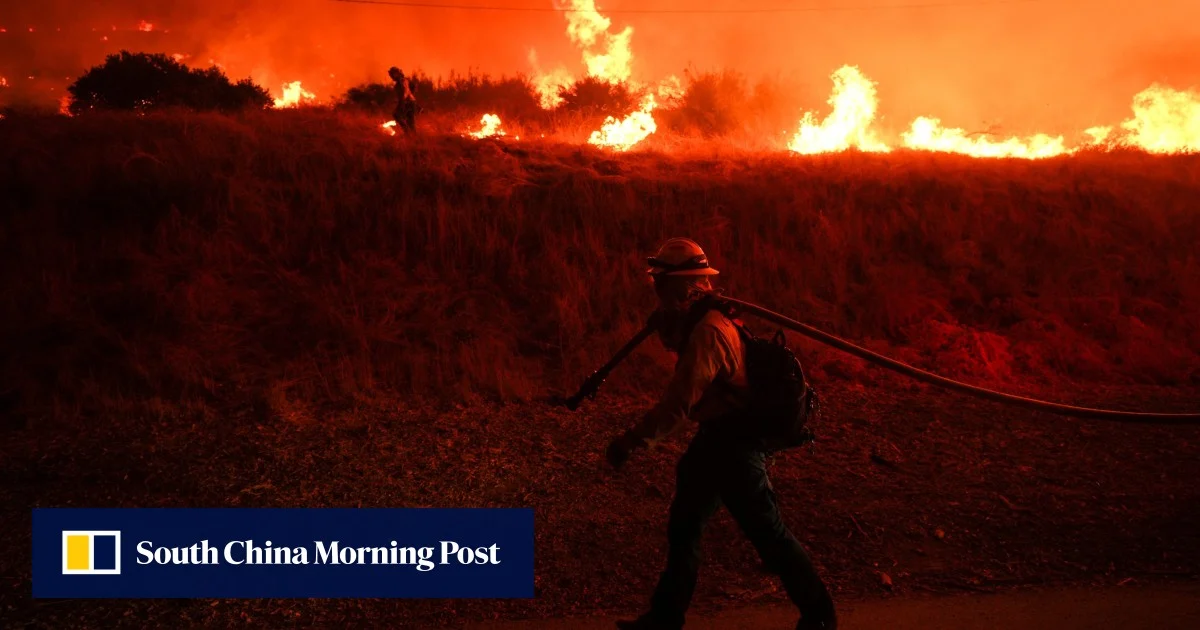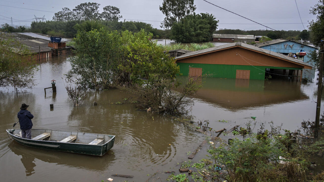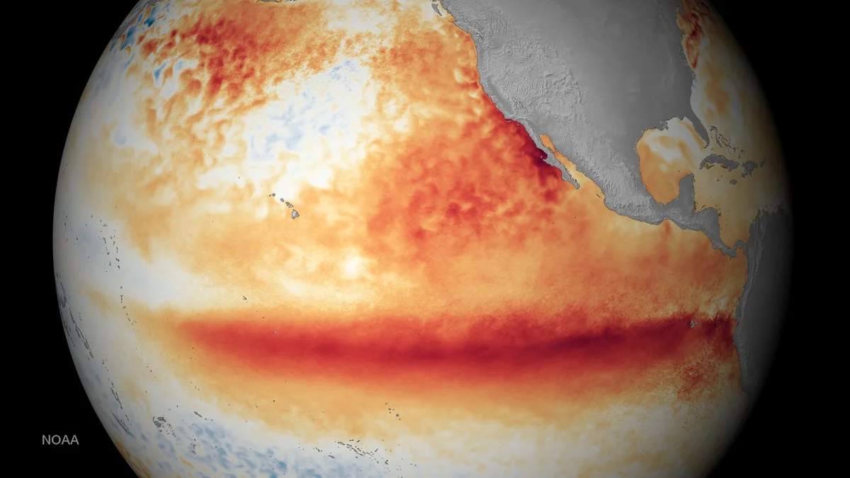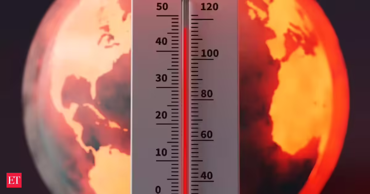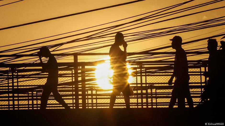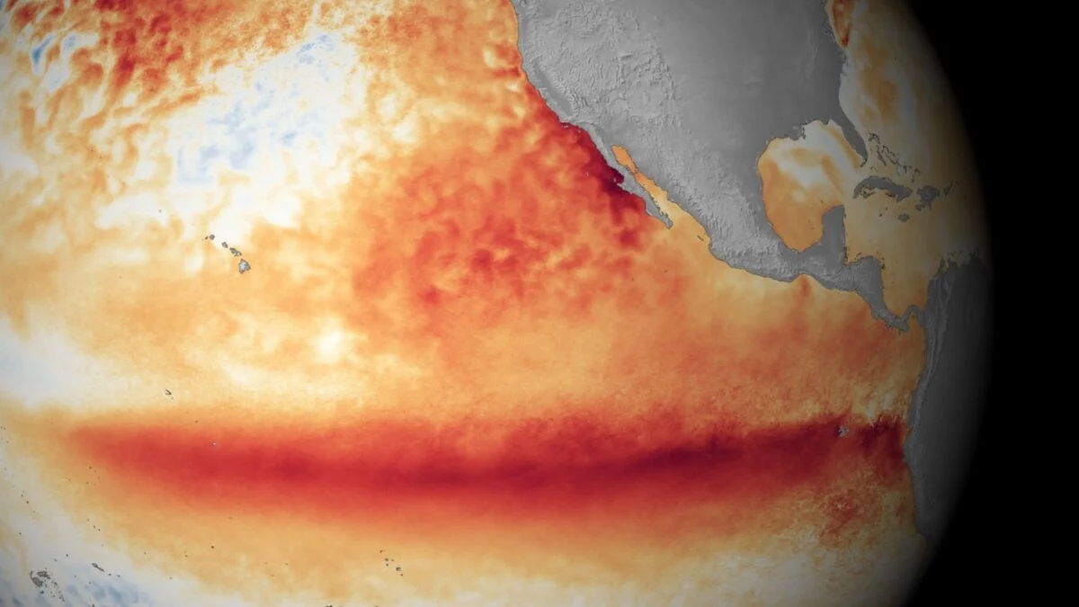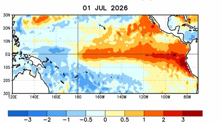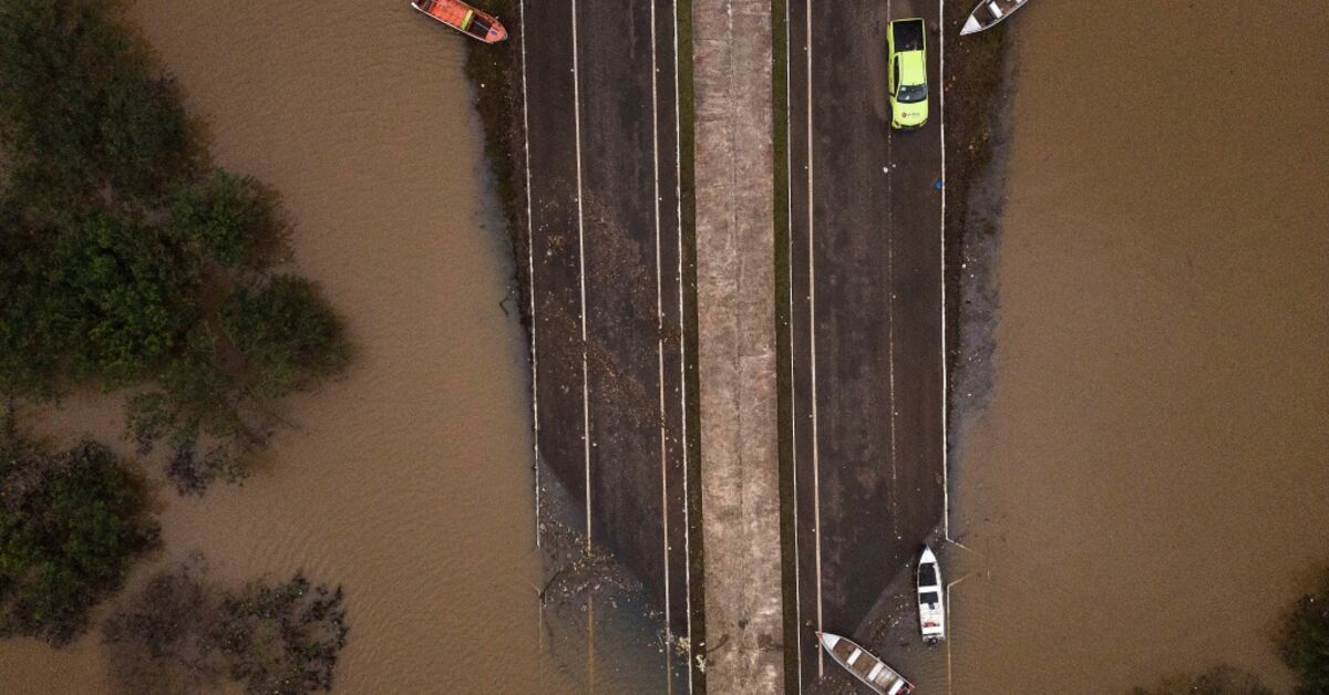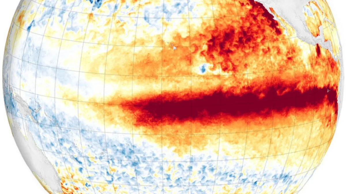
After months of anticipation, the National Oceanic and Atmospheric Administration (NOAA) officially declared the onset of El Niño today. It could become one of the strongest El Niño events in history. According to the agency, there is now a 63% chance of El Niño intensifying to “very strong” status between November and January, potentially ranking among the largest events in the historical record going back to 1950. Extreme climate and weather impacts are more likely to occur during stronger El Niños. Over the past several weeks, meteorologists have warned that this event could lead to record-shattering temperatures, supercharged storms, regional droughts, wildfires, or floods, and global food shortages. A so-called “super” El Niño would also have major implications for the climate crisis. “Starting soon all months will be the warmest on record once El Niño kicks into high gear,” Jeff Berardelli, chief meteorologist and climate specialist for WFLA Tampa Bay, posted on X yesterday. “Biggest impacts on global temp will be later this year into next year. It will set a new precedent… for a couple of years… until it’s broken again.” Hello, El Niño El Niño is the warm phase of the El Niño/Southern Oscillation (ENSO), a periodic fluctuation in sea surface temperature and air pressure over the equatorial Pacific Ocean. ENSO is the biggest, most influential year-to-year climate variation on the planet, so both El Niño and its cold-phase counterpart, La Niña, have significant consequences for global temperatures and weather patterns.
It's Official: US Declares El Niño Has Arrived
There's a good chance this El Niño could become one of the strongest on record. Now is the time to prepare.
697 words~3 min read