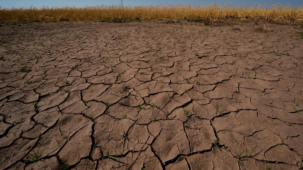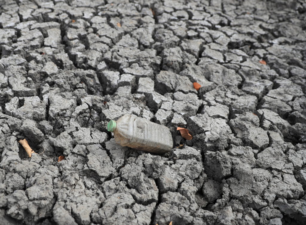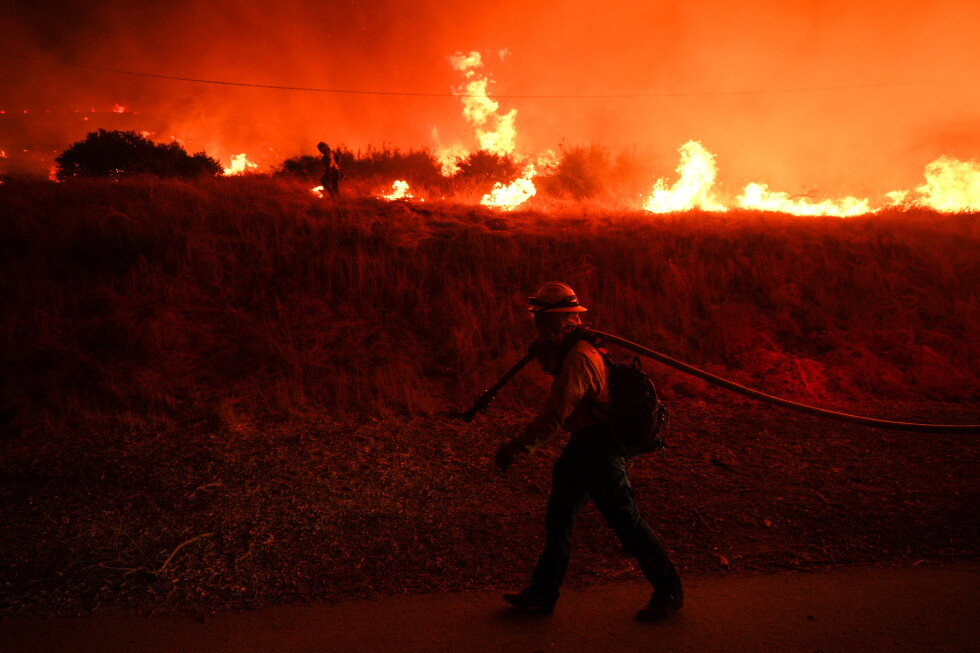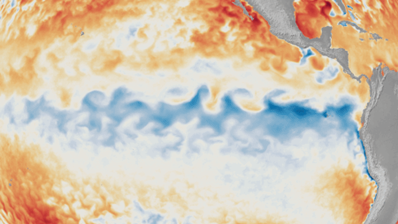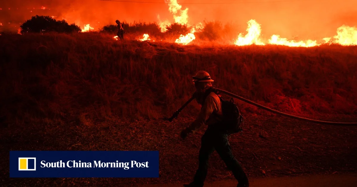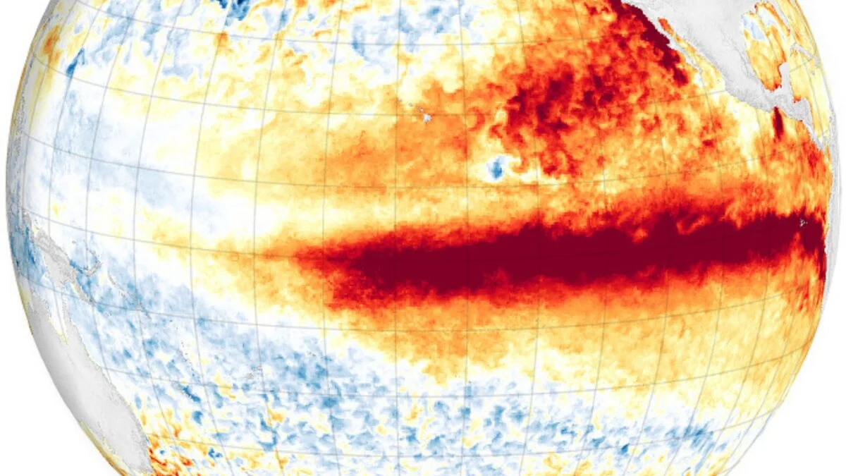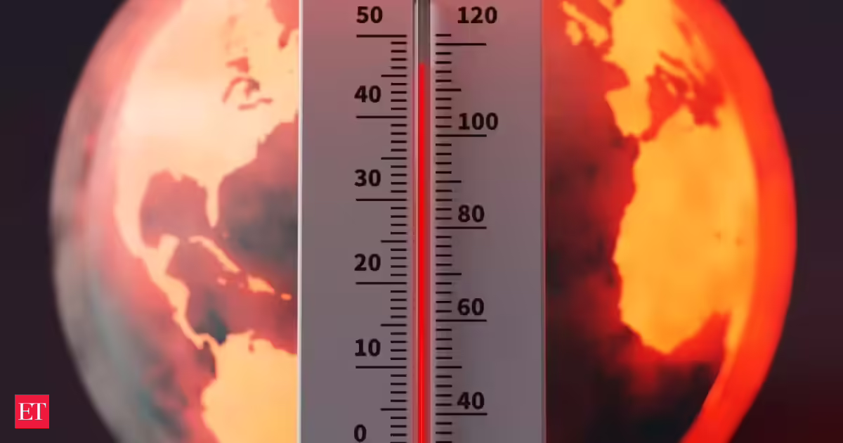
Government scientists could officially declare the arrival of El Nino as early as Thursday, June 11, when forecasters from the US National Oceanic and Atmospheric Administration's (NOAA) Climate Prediction Center are expected to make an announcement. Experts say the developing climate pattern could become a strong event."The science is clear: El Nino is arriving on our doorstep in the coming months with 90% certainty," United Nations Secretary-General Antonio Guterres said in a video statement. "The world must treat it as the urgent climate warning it is. El Nino conditions will pour fuel on the fire of a warming world," according to USA Today.What is El Nino?El Nino is a naturally occurring climate pattern marked by warmer-than-average sea surface temperatures in the central and eastern tropical Pacific Ocean.The phenomenon gets its name from Spanish-speaking fishermen off the coast of South America, who noticed unusually warm Pacific waters appearing around Christmas. El Nino translates to "the Little Boy" or "Christ Child" in Spanish.The broader climate cycle is known as the El Nino-Southern Oscillation (ENSO), which alternates between warmer and cooler ocean temperatures along the tropical Pacific. The cooler phase is known as La Nina.How strong could this El Nino become?Ocean temperatures in the El Nino region have surged to record levels for this time of year. According to reports, average water temperatures in the region increased by nearly one degree Fahrenheit between May 31 and June 5 and were almost three degrees above the 30-year average.Climate models indicate temperatures could rise by more than five degrees Fahrenheit by the end of the year."Essentially every model predicts El Nino is coming" Robert Rohde, chief scientist at Berkeley Earth, posted on X. Some projections point to a moderate event, while others indicate a strong or very strong El Nino. A few even suggest a "record-smashing event," though Rohde said he considers that outcome unlikely.Climate scientist Daniel Swain also shared his assessment on X."Whew. All signs are increasingly pointing to a significant, if not strong to very strong, El Nino event."What is a 'Super El Nino'?Although not an official scientific term, particularly intense El Nino events are sometimes referred to as "Super" or "Godzilla" El Ninos.According to USA Today, the term "super" is generally used when sea surface temperatures in the tropical Pacific remain at least 3.6 degrees Fahrenheit above average for several months.Only four such events have been recorded since 1950. The most recent occurred between 2015 and 2016, according to The Weather Channel.The World Meteorological Organization (WMO) has said there is an 80% chance that El Nino conditions will develop during the summer, with the probability of the event continuing through at least November estimated at around 90% or higher.What could it mean for weather?El Nino releases heat stored in the Pacific Ocean into the atmosphere, temporarily increasing global temperatures in addition to the effects of long-term climate change, according to NOAA.The ENSO cycle is a major factor used by meteorologists when preparing winter forecasts, as its strongest influence is typically felt during the colder months.During an El Nino winter, the southern third of the United States generally experiences wetter-than-average conditions, while the northern third tends to see below-average precipitation, according to NOAA's Climate Prediction Center."El Nino winters are typically warmer across the continental US, especially from the Pacific Northwest to the Great Lakes," Matthew Rosencrans, NOAA's lead hurricane seasonal forecaster, told USA Today. "The warmth can extend farther down the West Coast and into the Southeast, but those signals are much less certain."Experts also note that particularly strong El Nino events can trigger more extreme weather shifts, increasing the likelihood of major flooding, droughts and severe storms in different parts of the world.
'Godzilla El Nino is coming to your doorstep': Why scientists are worried about a powerful climate threat
Scientists anticipate El Nino's arrival soon, with a 90% certainty, potentially becoming a strong event. This natural climate pattern, marked by warmer Pacific waters, could significantly impact global temperatures. Experts predict wetter conditions for the southern US and warmer winters across the country, with a possibility of extreme weather shifts worldwide.
611 words~3 min read