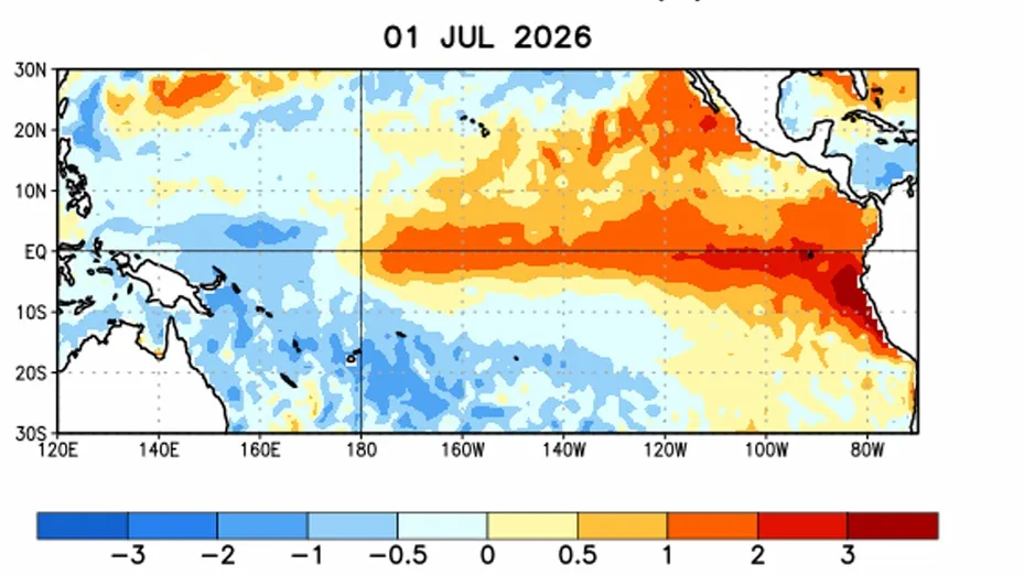
The El Nino weather pattern picked up strength over the past month and is highly likely to "rank among the largest" ever recorded when it peaks between October and December, US forecasters said Thursday.
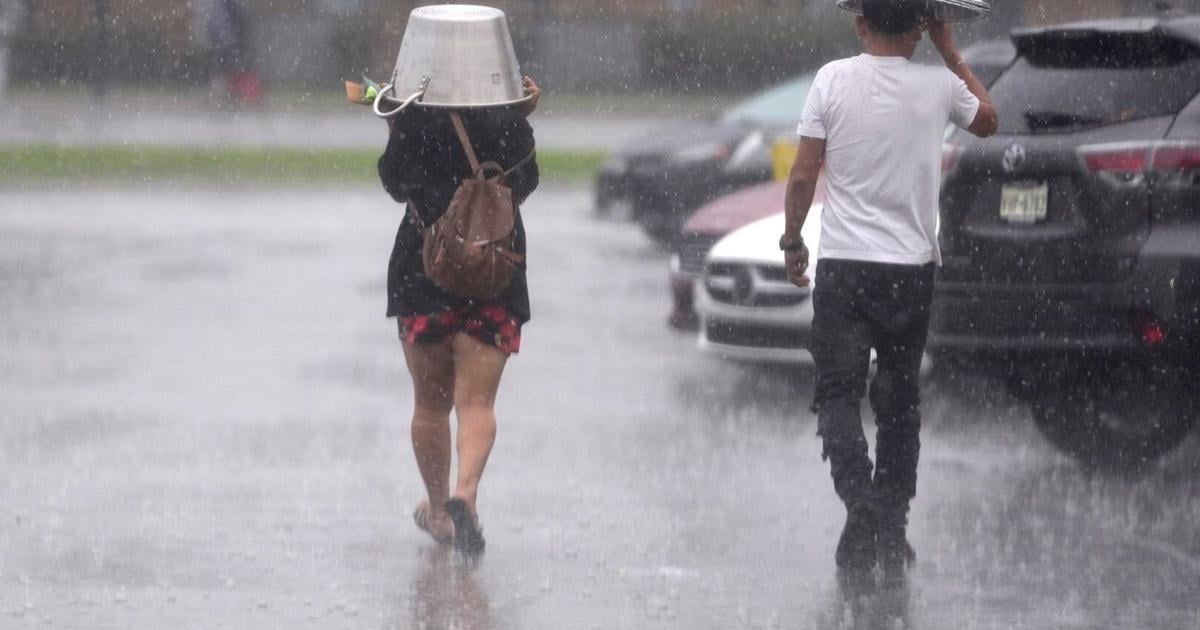
El Nino warms surface temperatures in the central and eastern equatorial Pacific Ocean, triggering worldwide changes in winds, pressure and rainfall patterns.
In its latest update, the US Climate Prediction Center (CPC) said there is an 81 percent chance of a "very strong" El Nino between October-December that would rank among the largest such events in the historic record going back to 1950.
"Very strong" is defined as being 2.0 degrees Celsius (3.6 degrees Fahrenheit) or more above an index value. The CPC also put the odds at 97 percent that the event will persist through early spring 2027.
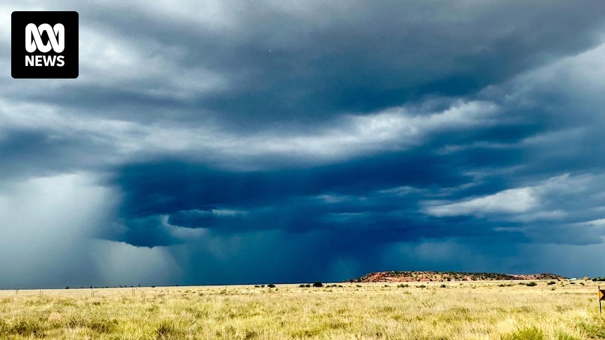
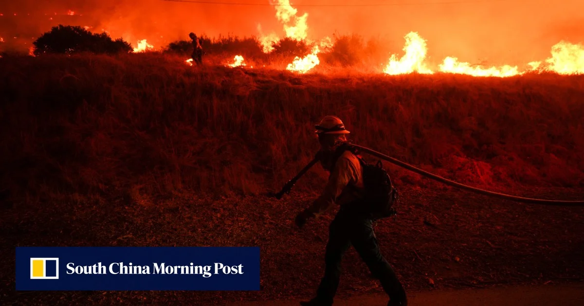
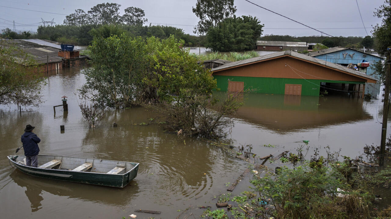
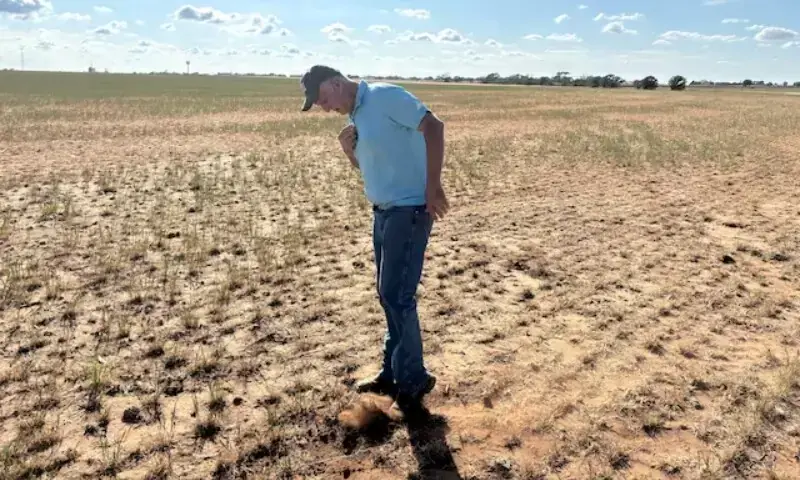
El Ninos typically have knock-on effects globally, including drier conditions and drought in Australia, wetter winters in East Africa and the southern United States, and warmer overall global temperatures.