There is a nearly 70% chance that the building Super El Niño will be the strongest such event on record, according to a National Oceanic and Atmospheric Administration forecast released Thursday.
Previously, NOAA had been projecting that this event would likely rank “Among the largest El Niño events in the historical record.”
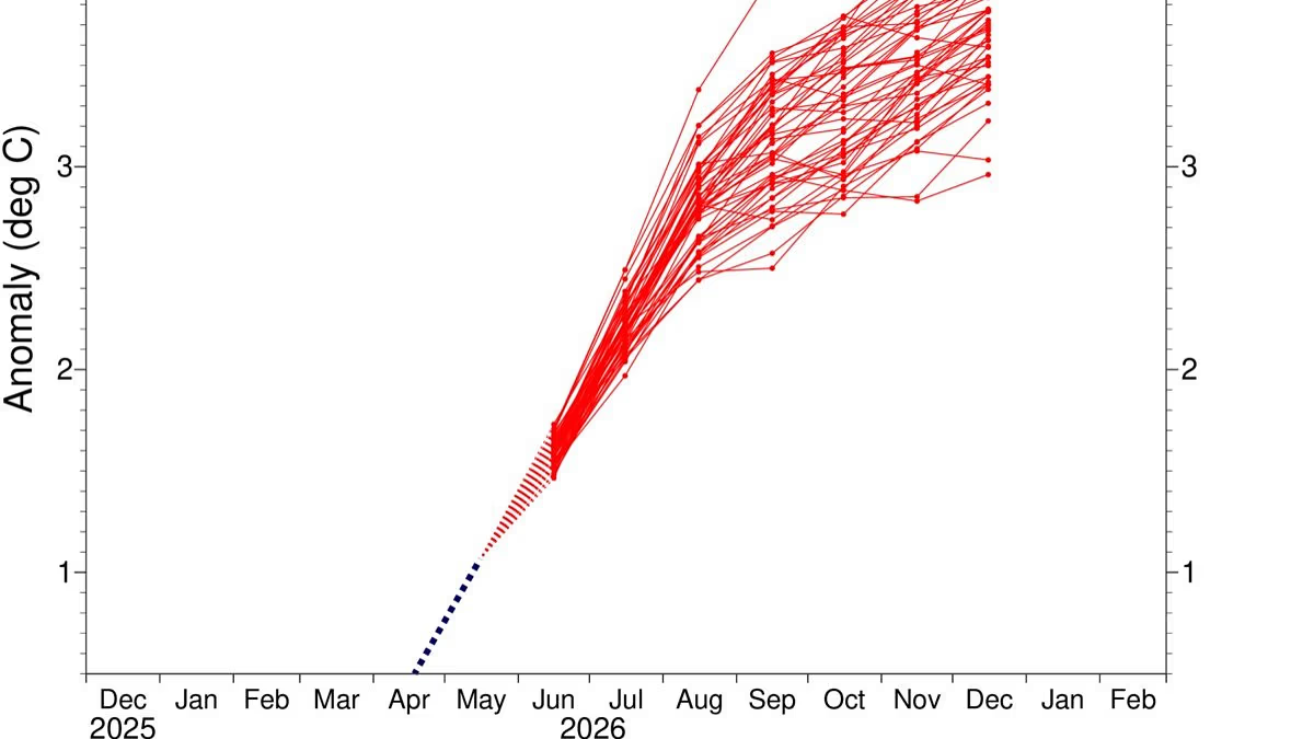
The change in the forecast largely stems from how rapidly this El Niño is intensifying, along with computer model guidance nearly unanimously showing it will peak in late fall and early winter at a level that is stronger than previously thought. NOAA’s El Niño intensity records date back to 1950.
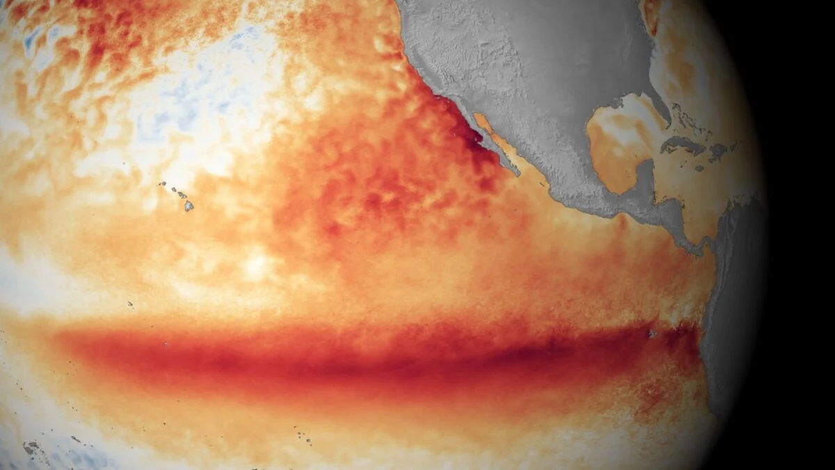
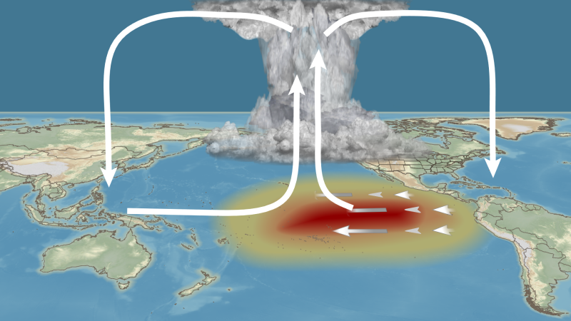
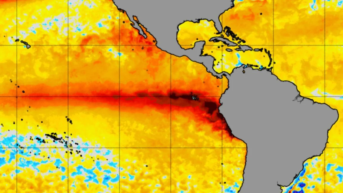
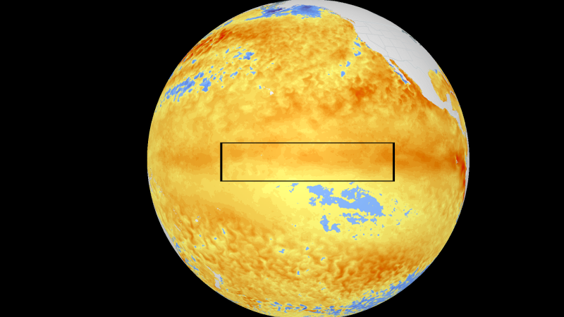
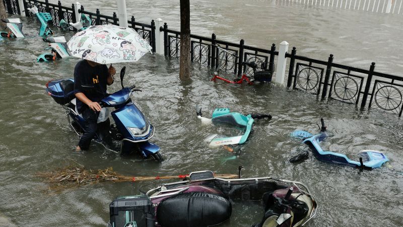
El Niño is a climate cycle characterized by hotter than average ocean temperatures in the central and eastern tropical Pacific. This warmer water transfers vast quantities of heat into the atmosphere via clouds and heavy precipitation. This, in turn, helps shift weather patterns across the globe, favoring drought in Indonesia and Australia, flooding in parts of South America and many other impacts elsewhere.
The intensity of an El Niño is determined by how hot the ocean temperatures get compared to average in a benchmark region of the tropical Pacific. NOAA expects this event to exceed even the massive Super El Niño that occurred in 1982 to 1983, which was the previous record-holder for its intensity.