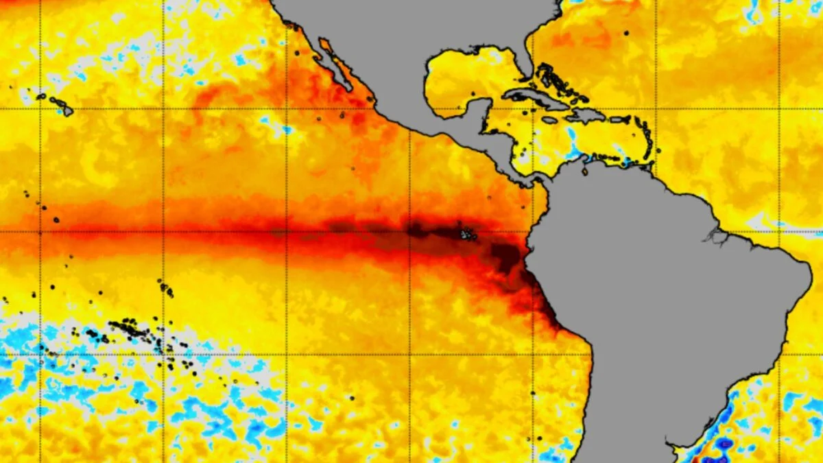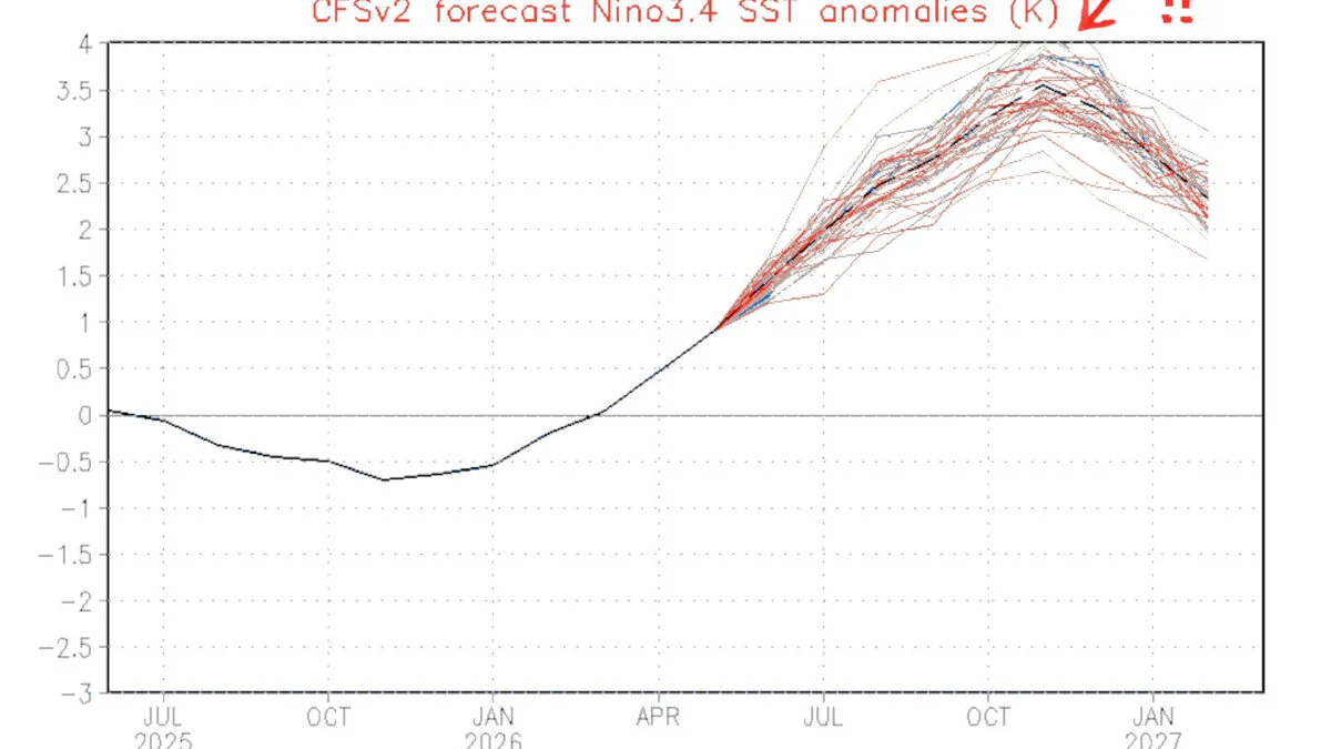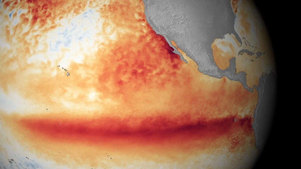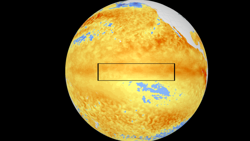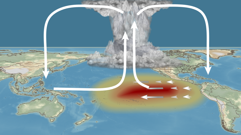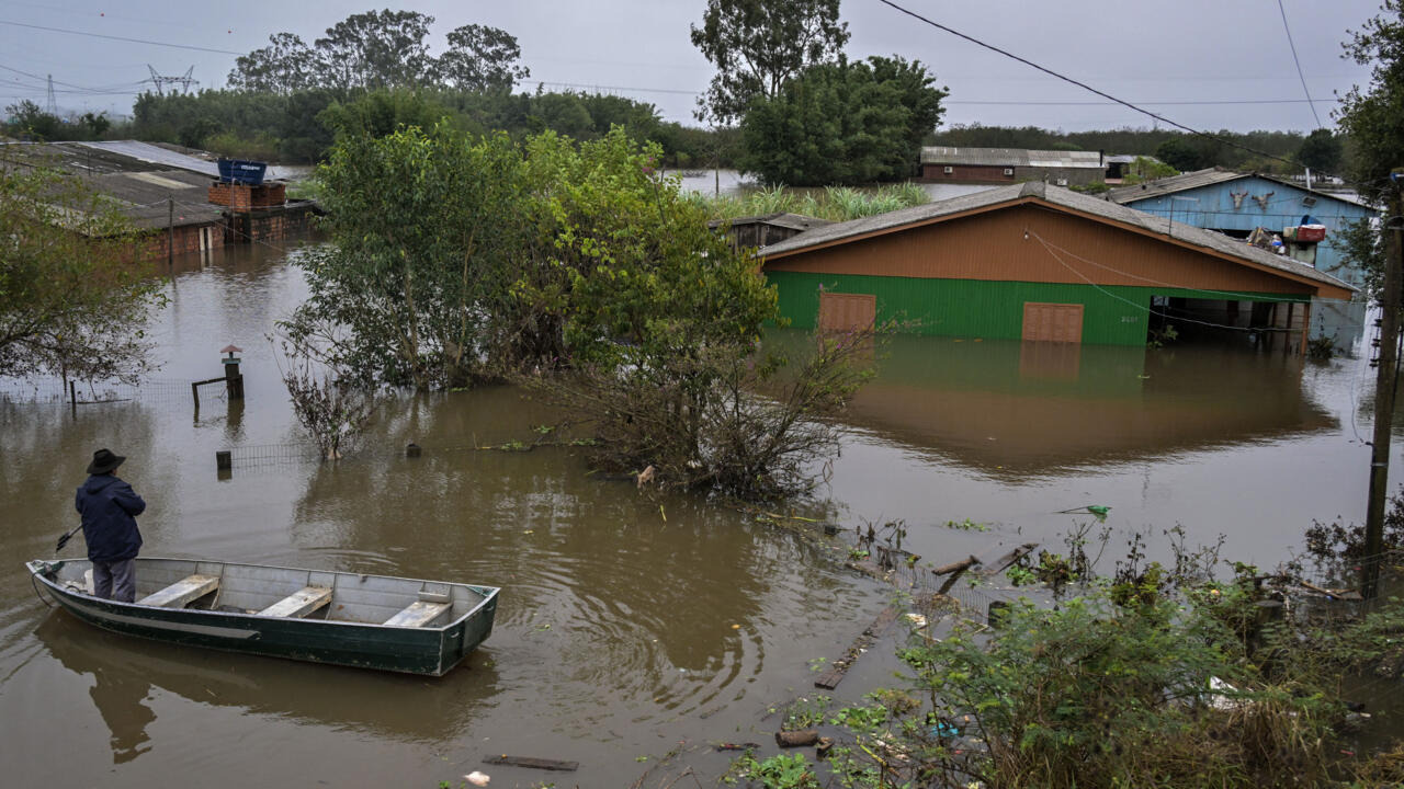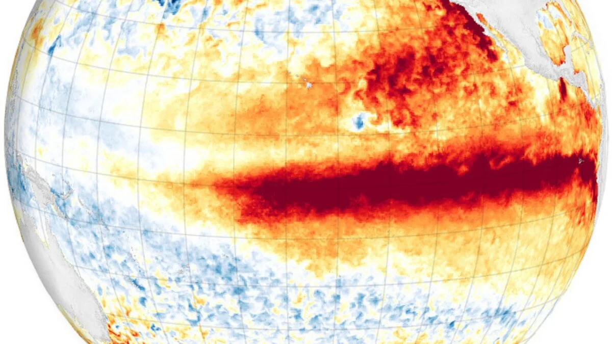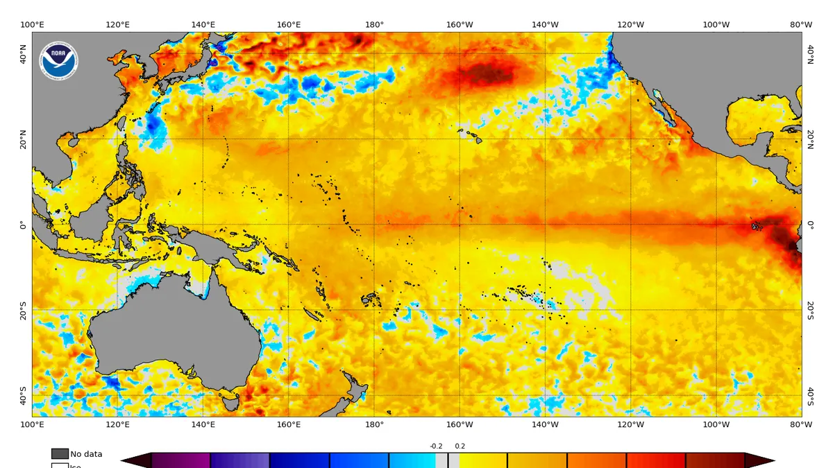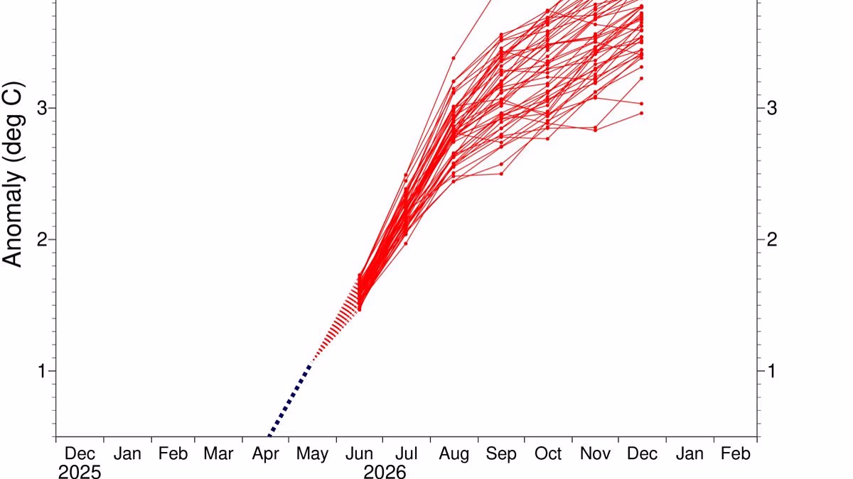
The brewing super El Niño will likely be the strongest ever recorded, new predictions suggest.The latest modelling from the European Centre for Medium–Range Weather Forecasts (ECMWF) shows that sea temperatures will be well above average later this year.Scientists measure the intensity of El Niño using the Niño 3.4 index, which records sea surface temperature anomalies between 5 degrees north and 5 degrees south latitude, and 120 degrees west and 170 degrees west longitude.The two strongest El Niño years on record took place in 2015 to 2016 and 1997 to 1998, in which the Niño 3.4 index reached a staggering 2.3°C (4.1°F).Now, scientists predict these previous records will pale in comparison with this year's event. In almost every scenario, temperatures in the equatorial Pacific Ocean will climb 3°C (5.4°F) above average by December.However, some worrying simulations show that the sea surface will be more than 4°C (7.2°F) warmer in this critical region.Ben Noll, a meteorologist and global weather writer at the Washington Post, wrote on X: 'Almost every scenario now reaches past +3˚C, with a cluster of high–end scenarios in excess of +4˚C. This outlook now depicts the strongest El Niño on record.' The latest weather models from the European Centre for Medium–Range Weather Forecasts (ECMWF) show that the coming El Niño event is likely to be the strongest ever recorded The coming 'Super El Niño' is poised to trigger a spike in global temperatures and widespread changes to weather patterns, triggering more rain in the US and a drier summer in the UKThis warming pattern is part of a naturally occurring weather cycle called the El Niño–Southern Oscillation, which shifts between hot and cool phases every two to seven years.During the El Niño part of the cycle, warm waters that build up in the Pacific spread out and raise the Earth's average surface temperature.The hotter these waters become, the stronger and more pronounced the effect on global weather will be.During the last El Niño cycle, which ran between June 2023 and April 2024, the extra injection of heat added to the already warming climate made 2024 the hottest year on record.This extra warming also made 2024 the first year to breach the 1.5˚C (2.7˚F) warming limit set out in the Paris Agreement.Now, scientists think that the world is about to begin an even stronger El Niño event that could send global temperatures even higher.The most recent modelling from the ECMWF uses 'relative indices', which account for the background warming trend to isolate the changes caused by the El Niño–Southern Oscillation.Even the most conservative models show that sea surface temperatures in the equatorial Pacific will be around 2˚C (3.6˚F) above average.
Super El Niño will be strongest EVER recorded, new predictions suggest
The brewing super El Niño will likely be the strongest ever recorded, new predictions suggest.
1,105 words~5 min read