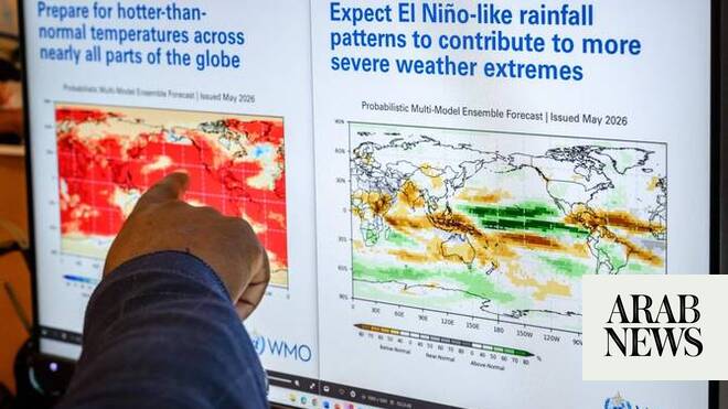
Scientists have been keeping a close eye on the tropical Pacific Ocean for months now, anticipating the emergence of an intense, “Super” El Niño that would be among the stronger events on record. Now it looks like this El Niño could set the benchmark for peak intensity, with potentially dire implications for the extreme weather events it influences worldwide.
El Niño is poised to rapidly strengthen in the tropical Pacific Ocean during the next few months and is forecast to reach the upper echelon of intensity by the time it peaks in late fall to early winter, forecasters warn.
It’s already being referred to colloquially as a Super El Niño. Only a handful of events have reached that level of intensity in the last few decades, with the most recent one occurring in 2015 to 2016.
But now some computer models are predicting this El Niño could be stronger than any other event, back to at least 1950. “I think it’s fair to say that, depending on [the] model, the forecasts are close to unprecedented,” said Michael Tippett, an atmospheric scientist at Columbia University, in an email.
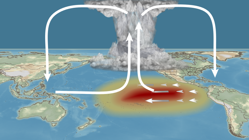
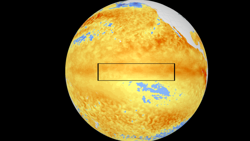
El Niño is a periodic weather cycle that features hotter-than-normal ocean temperatures in the equatorial tropical Pacific, along with corresponding shifts in weather patterns across this region. The shifts that occur here then have global repercussions.