Support CleanTechnica's work through a Substack subscription or on Stripe.
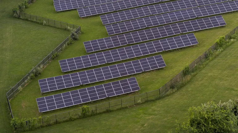
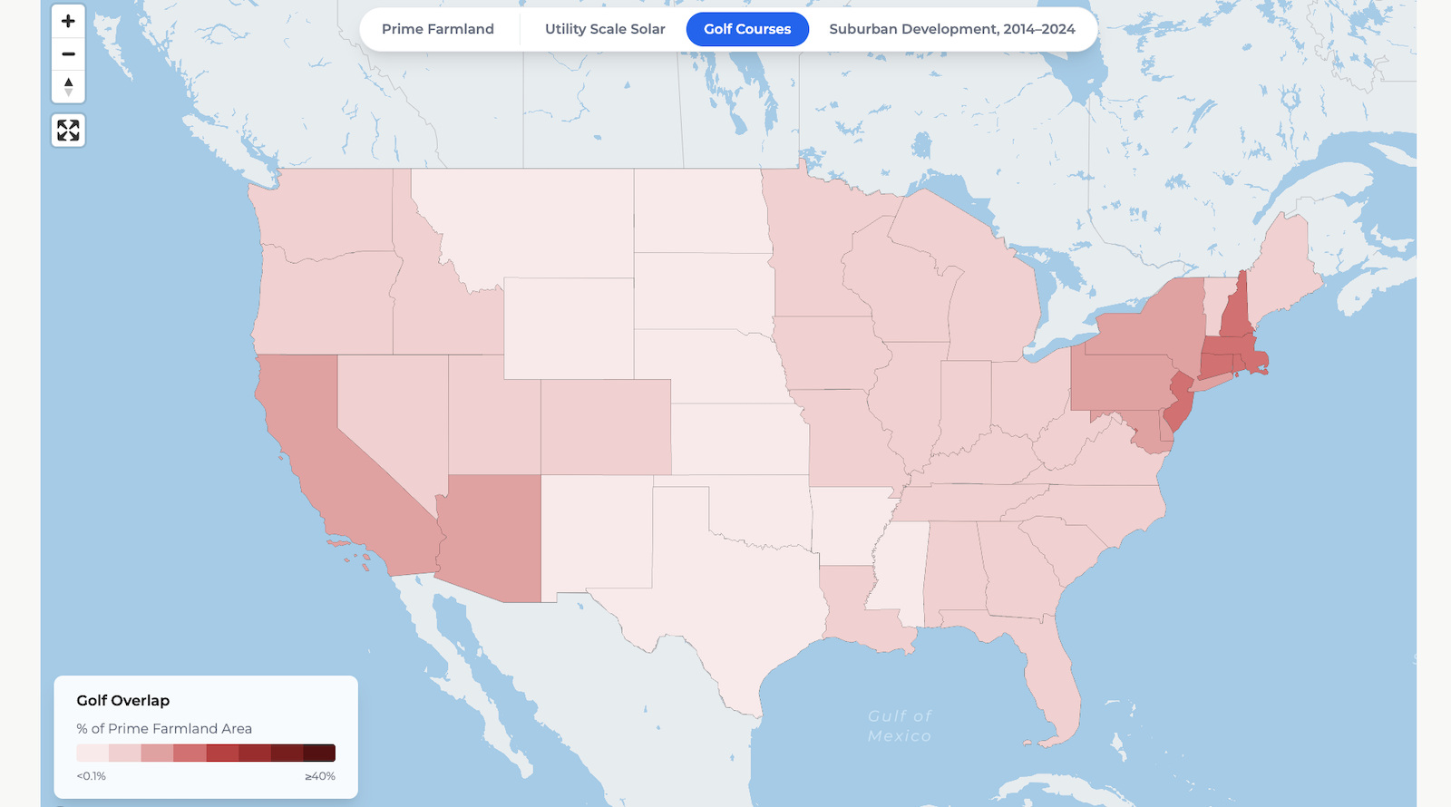
As farmers choose solar to support operations and boost income, suburban sprawl uses 6x more farmland and golf courses nearly 3x more than solar.
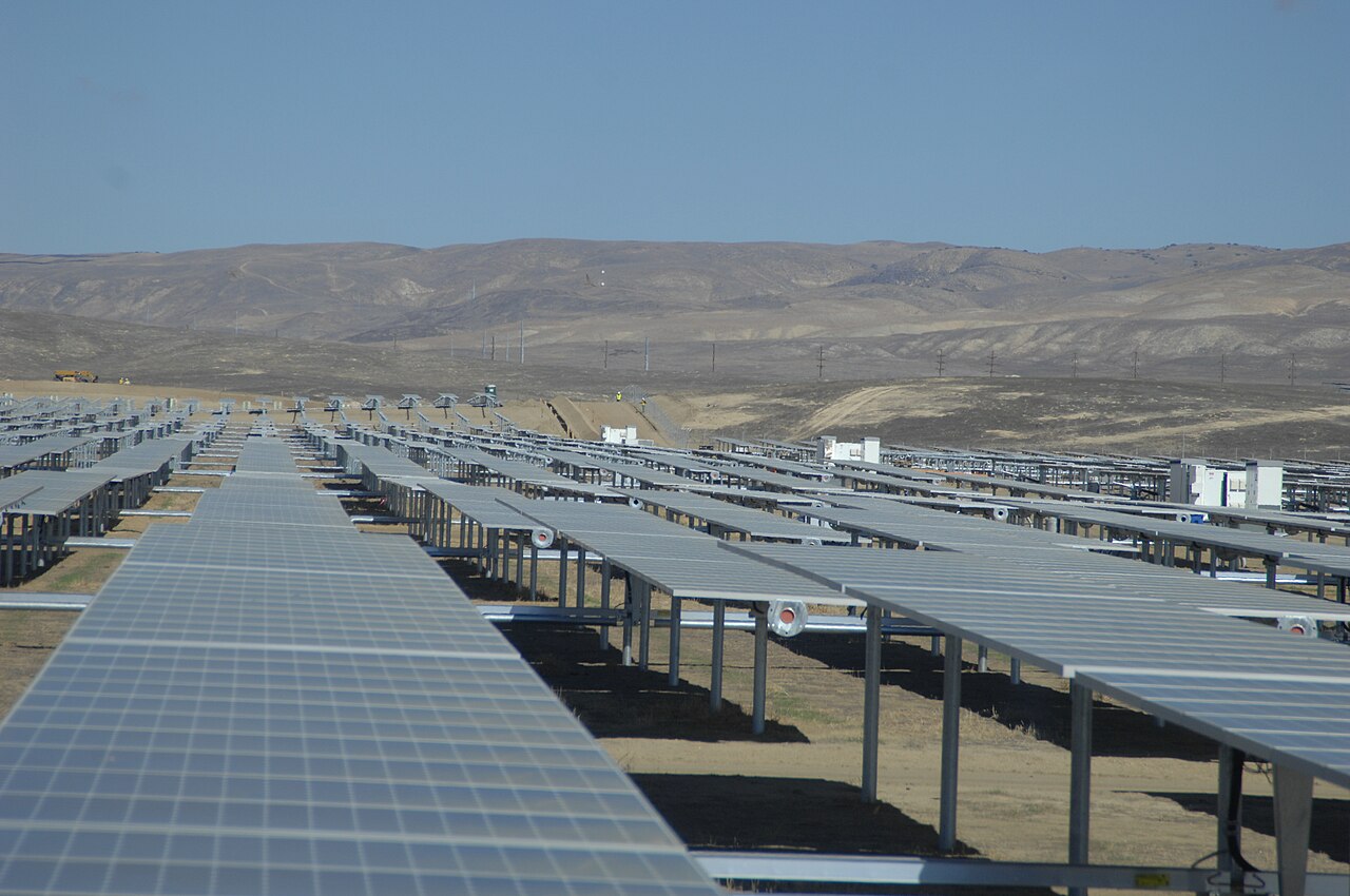
WASHINGTON D.C. — The Solar Energy Industries Association (SEIA) today launched an interactive map showing how solar development and agriculture thrive side-by-side while creating shared value for rural communities. The map compares solar’s limited farmland impact to that of other major land uses, including suburban development and golf courses.
The new tool comes amid Farm Bill negotiations in Congress and growing misinformation and targeted scrutiny of solar development and agricultural land use. The map shows that solar occupies a remarkably small share of America’s farmland, especially compared to permanent land conversion driven by low-density suburban sprawl and recreational uses.
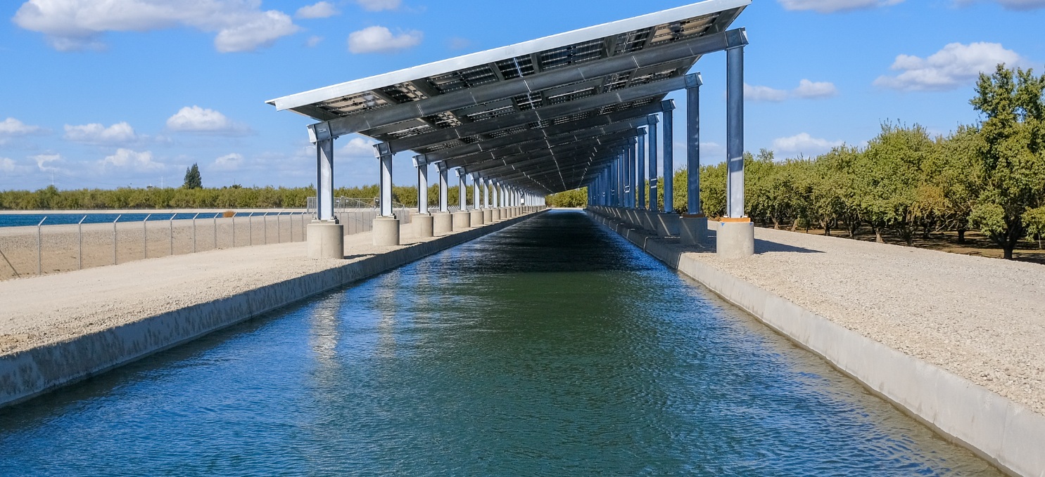
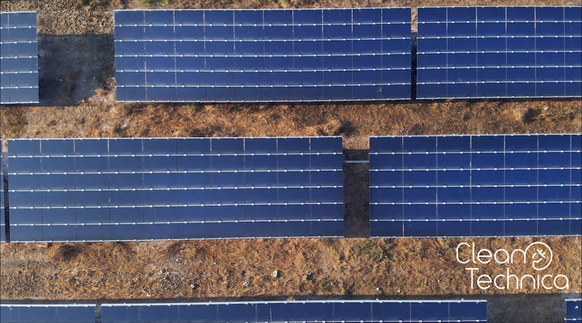
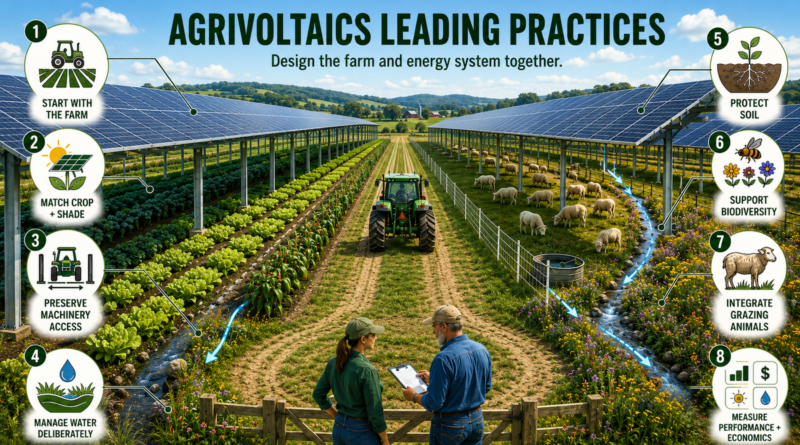
Across the country, many solar projects support dual-use agricultural practices such as grazing and pollinator habitats. Thousands of farmers and private landowners are choosing solar as a stable, long-term source of revenue that helps keep family farms in business while delivering affordable electricity for their communities. Unlike permanent suburban expansion, solar projects can also be decommissioned at the end of their operating life.