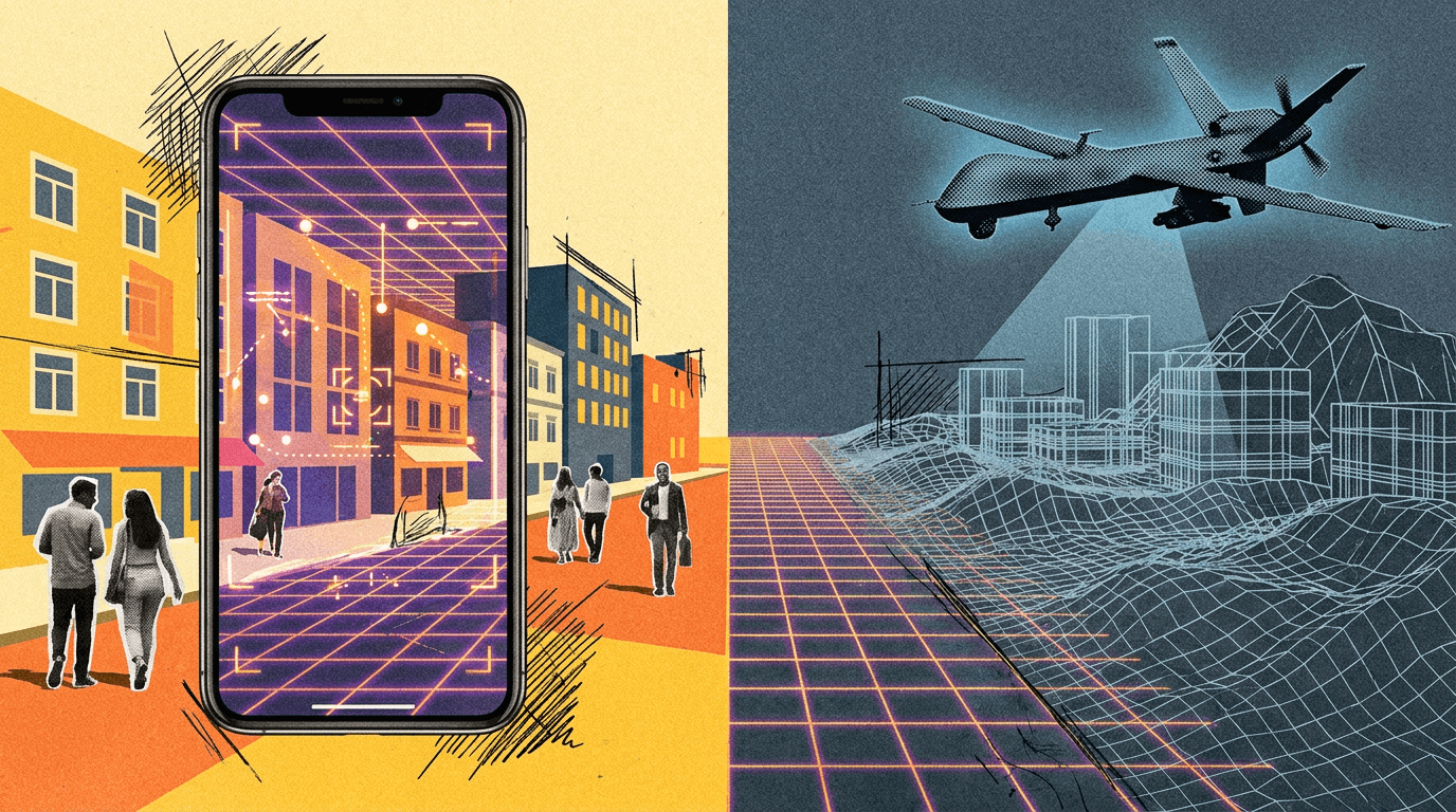
Volunteer AR scans from Pokémon Go players fed into Niantic's spatial AI models. That technology is now being combined with a US defense contractor's software for GPS-free navigation.
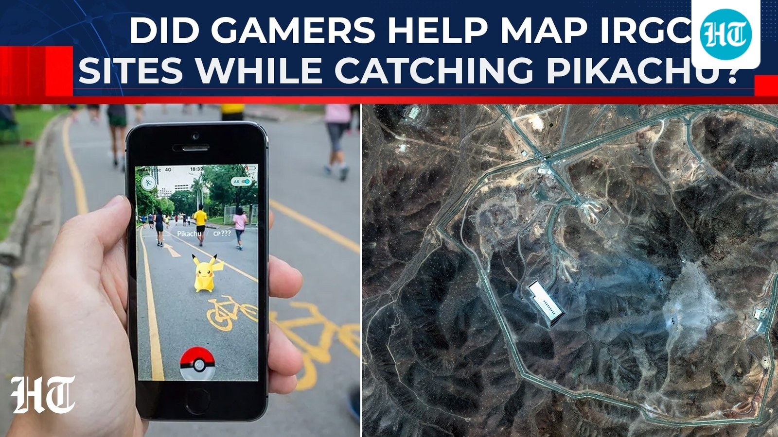
Data collected by Pokémon Go players went into training an AI model that could support military drones, according to a report by the Telegraph (based on reporting by the Dutch newspaper Trouw).
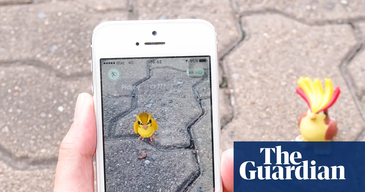
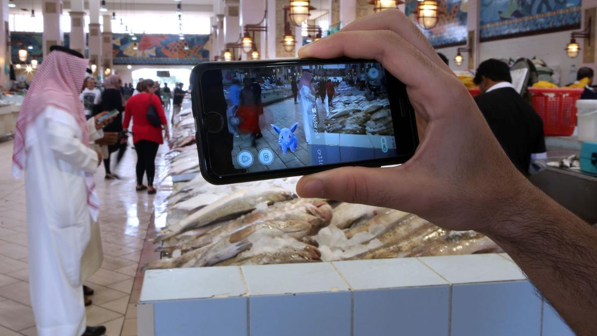
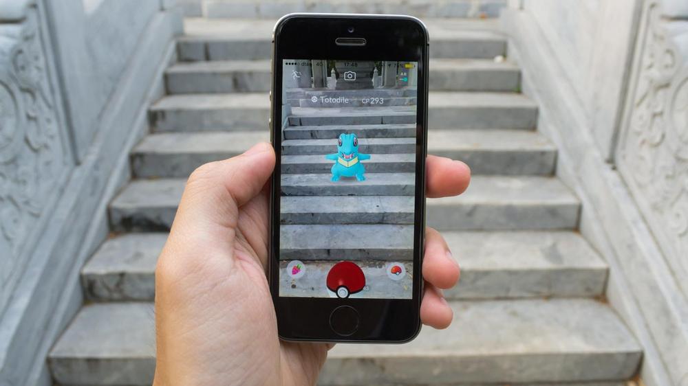
It goes back to a 2021 update. Developer Niantic added in-game incentives for players to scan real-world locations with their smartphones. Millions of users then scanned streets, buildings, parks, and trees, generating billions of visual mapping data points, according to the website DroneXL. Participation was opt-in, and permissions were collected.
Niantic's spin-off, Niantic Spatial, turned those scans into a large-scale 3D map that works when satellite signals aren't available. Machines can use cameras to locate themselves and navigate, no GPS needed.
From mobile game to defense partnership