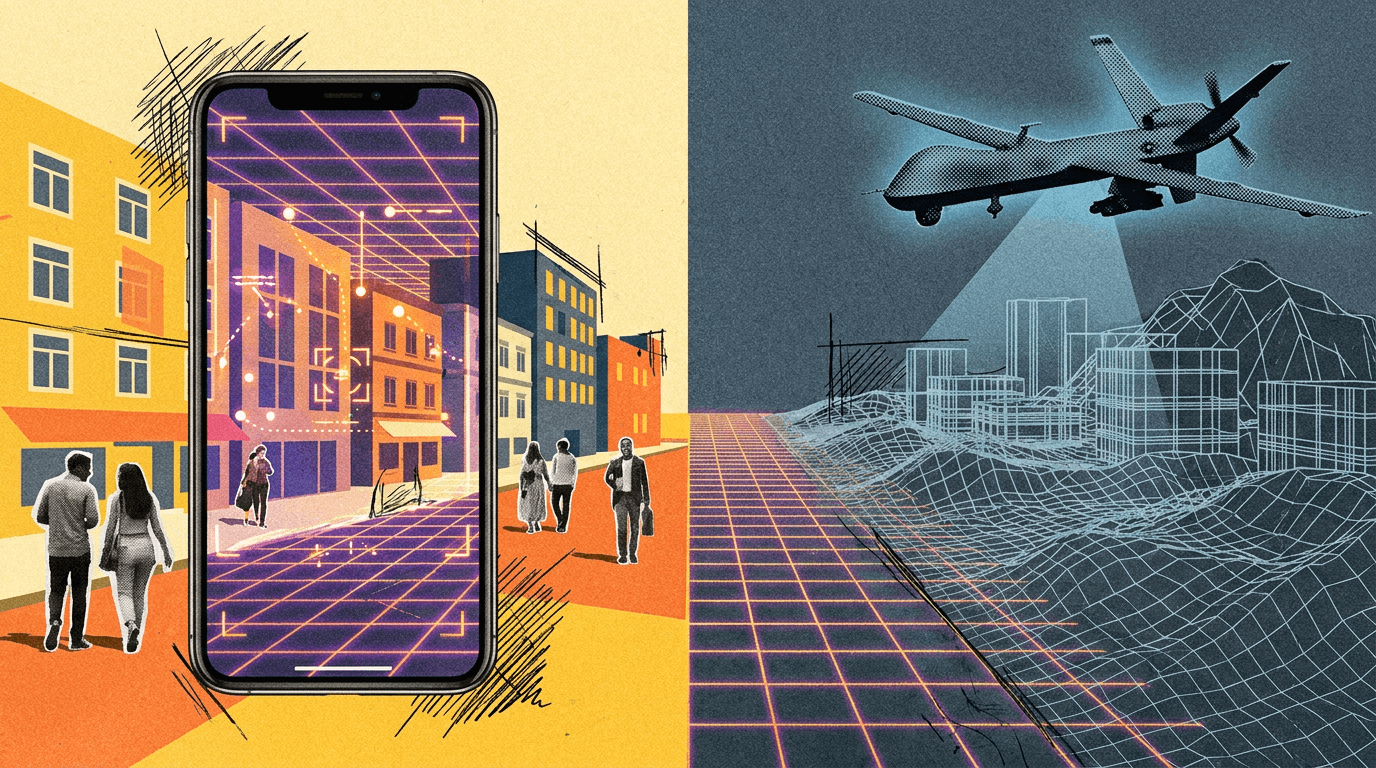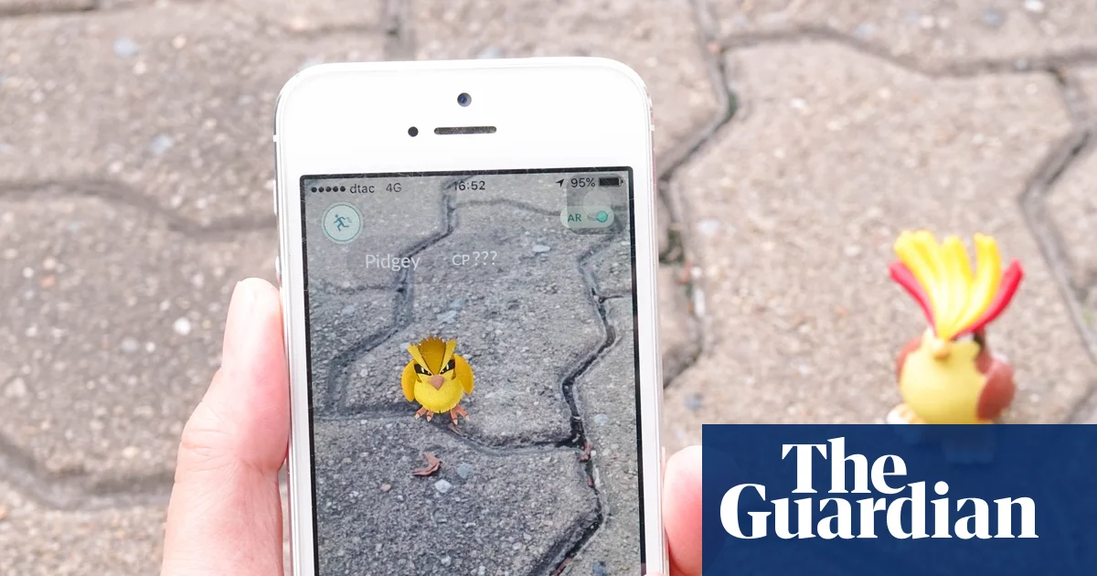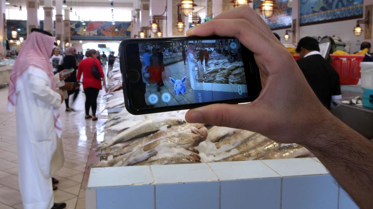
THE HAGUE, June 9. /TASS/. Billions of images collected by Pokemon Go mobile game players around the world could have been used to create a navigation system that later found military application, including drones and robotic platforms, the Trouw newspaper reports.
According to it, Niantic Spatial, a company based on the Pokemon Go developer, has received almost 30 billion environmental scans made by users of the game. Based on the data, a three-dimensional AI navigation module was trained, which helps determine your location even in the absence of a GPS signal.
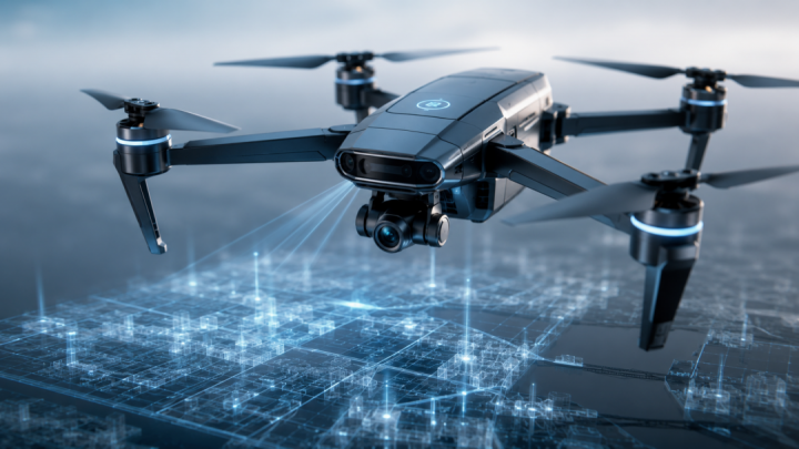
At the end of 2025, Niantic Spatial set up a collaboration with America’s Vantor, which uses a visual positioning system (VPS) to navigate military drones, robotic platforms, vehicles, and other equipment in conditions of satellite signal suppression.
"Without the huge number of scans collected by all these players, the creation of such a system would never have happened so quickly," Jeroen van den Hoven, a technology expert, told the newspaper. According to him, the game's users "indirectly contributed to the military infrastructure," even without realizing it.
Vantor, in a comment from Trouw, rejected allegations of direct use of Pokemon Go data for military purposes, but did not specify whether the system designed for defense projects was trained based on information received from players. Niantic Spatial said that user scans were used to train an "early version" of the navigation model.