view more
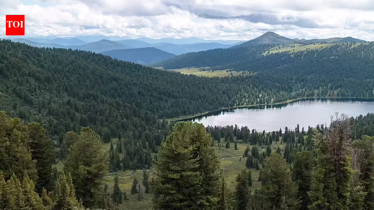
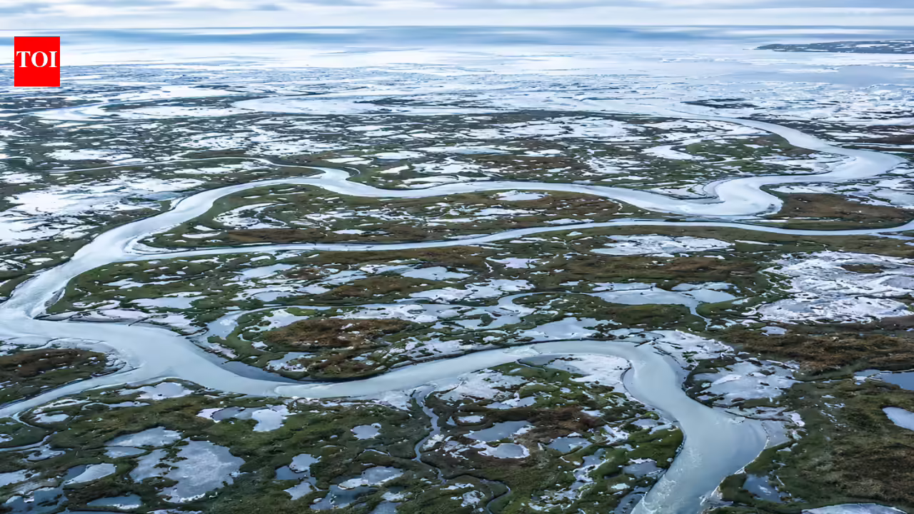
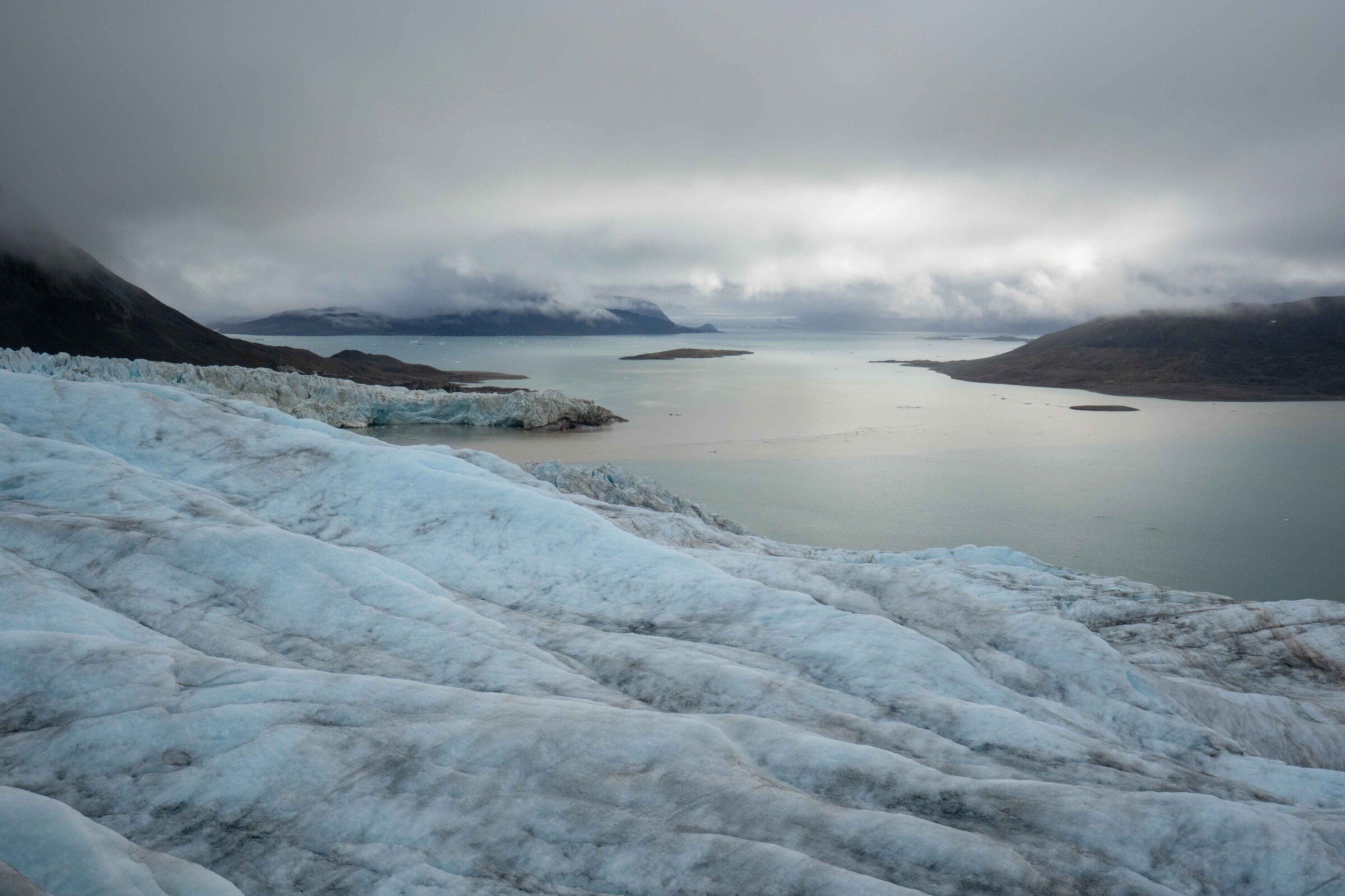
In the far north regions of Earth, where forests stretch across Alaska and Canada, climate change is unfolding at an accelerated pace. Arctic and boreal regions are warming up to four times faster than the global average, putting immense pressure on ecosystems that absorb enormous amounts of CO2 and help slow climate change. Through photosynthesis, vast expanses of vegetation naturally pull carbon from the atmosphere and sequester it in their biomass.
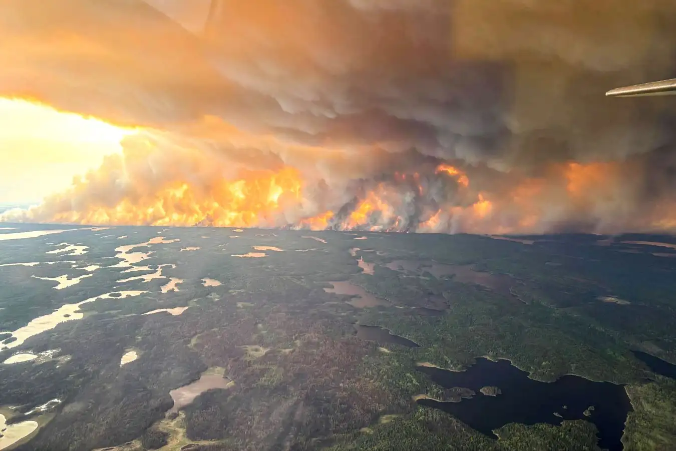
As climate-related disturbances like wildfires and drought intensify, parts of the region may shift from carbon sinks to carbon sources, disrupting the delicate global carbon balance. Understanding exactly how much carbon these ecosystems store or release through their biomass is important for climate mitigation efforts but getting accurate measurements is a challenge.
Two new papers aim to improve how scientists measure biomass across Arctic and boreal zones. Led by University of Utah biologists Wanwan Liang and Jon Wang, one reveals inconsistencies among widely used satellite-based datasets, and the other introduces a new biomass map that captures 40 years of ecological change in unprecedented detail.
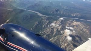
The research emerged from the Arctic-Boreal Vulnerability Experiment (ABoVE), a NASA-funded, 15-year field research campaign to understand ecosystem change in northern high latitudes.