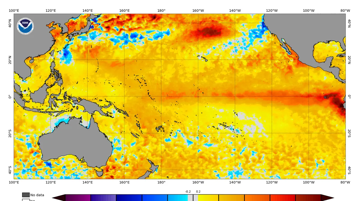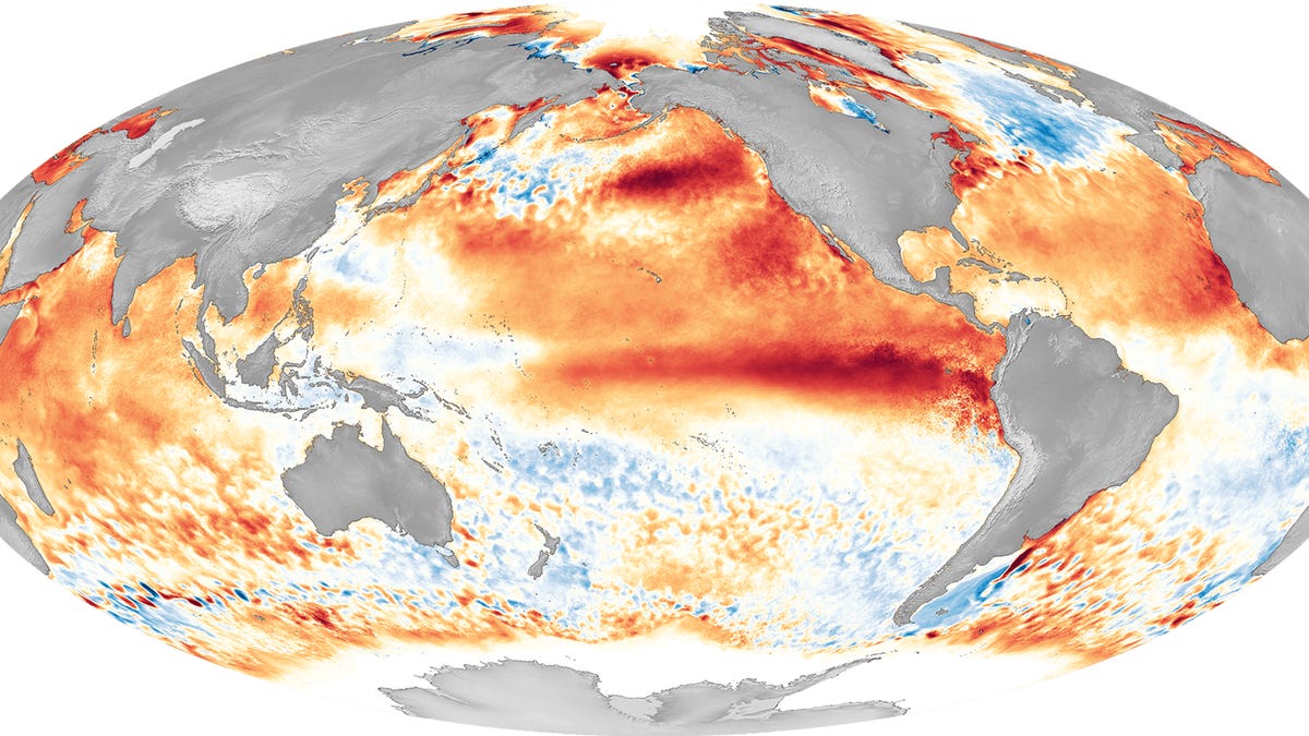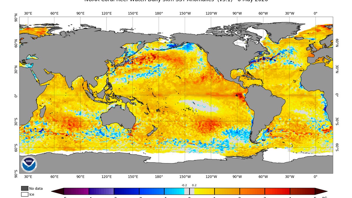
Weeks after the Pacific Ocean engine that helps drive the world's weather shifted into neutral, meteorologists and scientists are now laser-focused on the developing signals of its warm phase – El Niño.
It's what the global forecast models are making of the early signals that is drawing attention.
Virtually all of the models show an El Niño forming in the weeks ahead, and the median estimate across them is for "quite a strong event," said Zeke Hausfather, director of climate and energy at the Breakthrough Institute and a research scientist with Berkeley Earth. "This would put us on track to have an event that is among the strongest El Niños seen in recent history, though it is too early to know with much certainty."
The prospect of a strong El Niño raises fears of additional heat, including marine heat waves and piling on top of long-term climate warming, given its expected arrival at a time when temperatures already have been warmer-than-normal in much of the West and over parts of the Pacific for months. The forecasts are raising alarms globally because of the pattern's powerful influence over the world's weather, and a strong event could create rippling impacts that last for months to come.